Crosier Mountain Trail
View Photos
Crosier Mountain Trail
Difficulty Rating:
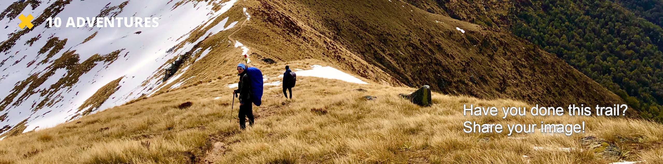
The Crosier Mountain Trail is an incredibly scenic adventure through the Colorado Wilderness. Hike up the forested valley laden with wildflowers and wildlife to the summit of Crosier Mountain. This trail is optimal for those seeking an introductory hike prior to ascending a Colorado 14er. Train for your next big adventure on the Crosier Mountain Hike.
Getting there
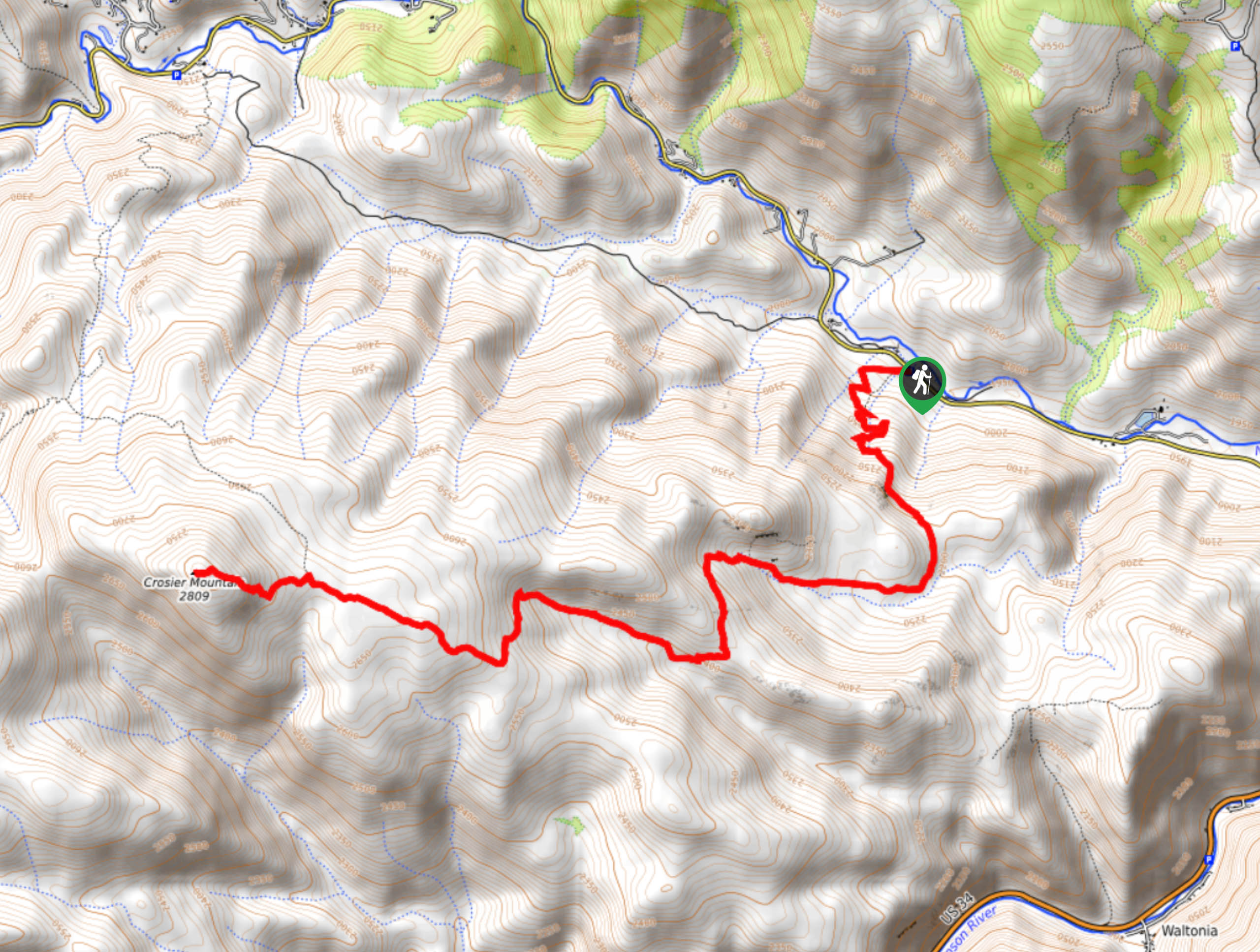
The Crosier Mountain Trailhead is located off Highway 43.

About
| Backcountry Campground | Dispersed Backcountry Camping, restrictions apply. |
| When to do | March-September |
| Pets allowed | Yes - On Leash |
| Family friendly | No |
| Route Signage | Average |
| Crowd Levels | Moderate |
| Route Type | Out and back |
Crosier Mountain Trail
Elevation Graph
Weather
Crosier Mountain Hike Description
The Crosier Mountain Hike is a quintessential Colorado summit hike. Travel through the dense pine forest, and up through the alpine meadowlands. This trail is one for the books, but it requires a fair amount of exertion. Ascend the steep grade to high altitudes. Towering over the wilderness below, you will feel as though you are on top of the world. Pack a windbreaker and wear layers, as it will be chilly at the summit. Furthermore, ensure to check the weather prior to your departure to avoid getting caught in an afternoon lightning storm at the peak.
Beginning at the small parking lot off Highway 43, take the Crosier Mountain Trail south and it will guide hikers up a grassy meadow. Hike up the plains and enjoy the exposure before the path dips below the tree canopy. Hike up the wooded trail and mind your footing and the path is rutted with roots. Ascend the forested path and the route will soon spit you back out into an alpine meadow. Track through the grassy terrain before you are once again guided below the trees. Bask in the towering pine trees above and the babbling creek beside you. At this point, the terrain will become increasingly rocky and technical as you near Crosier Mountain.
Ascend the steep grades and scramble over the boulders through the sparse tree shade up to the summit. Once you summit Crosier Mountain you will be rewarded with unforgettable panoramic views of the Front Range and the verdant subalpine wilderness below. Revel in the beauty and grandeur of the Colorado landscapes before retracing your steps all the way back down the path to the trailhead.
Similar hikes to the Crosier Mountain Trail hike

Hankins Pass Hike
The Hankins Pass Hike is a quintessential adventure across the Lost Creek Wilderness. The hike demonstrates the diversity of the…

Miller Gulch Loop Trail
The Miller Gulch Loop Trail is a scenic meadowland adventure in the Pike National Forest. Hike through grassy meadows laden…

The Castle Hike
The Castle Hike is an exciting adventure up the steep, forested terrain to The Castle Rock. From atop the summit,…
Comments