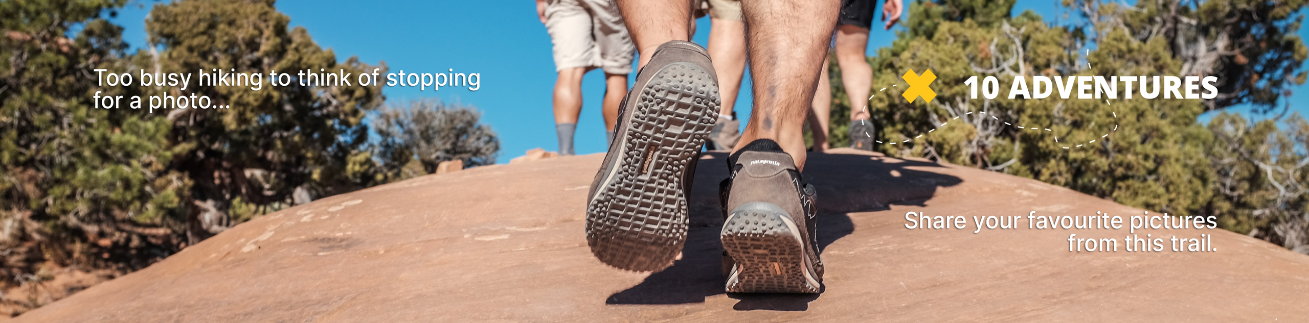
Berthoud Pass Trail
View Photos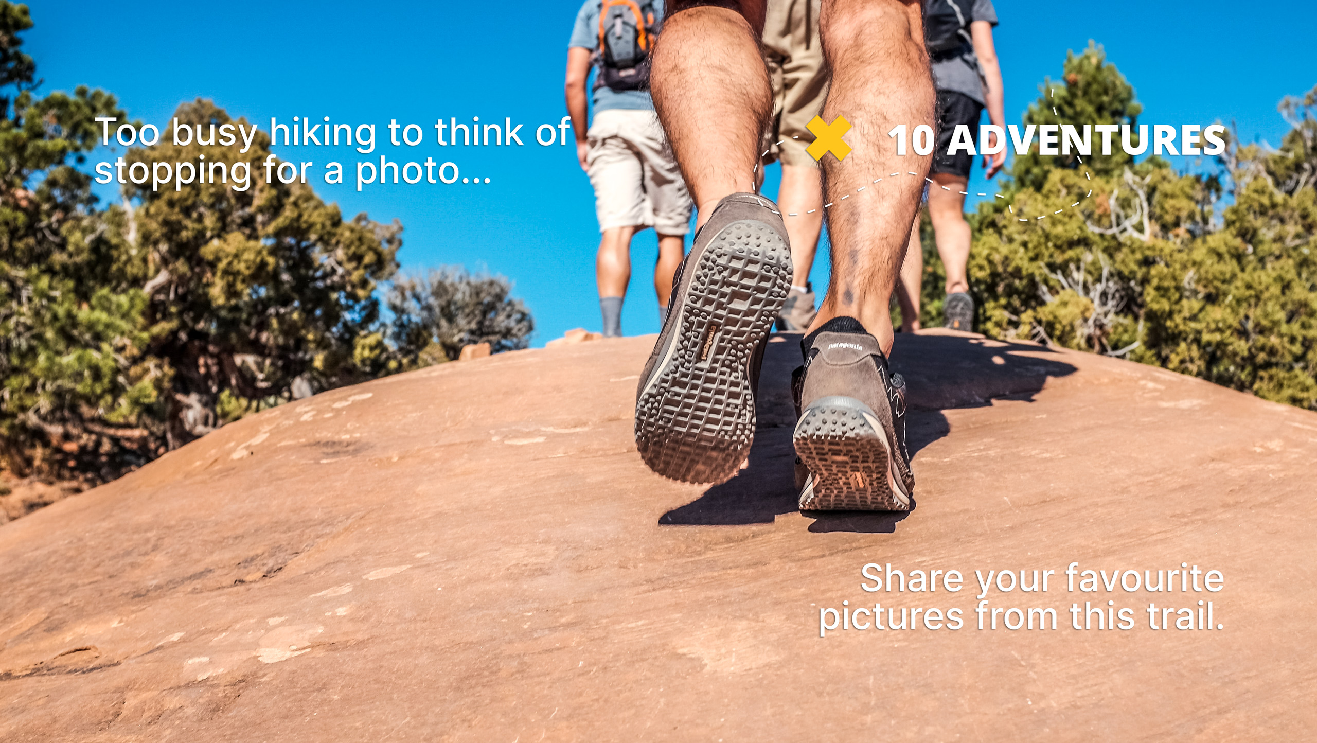
Berthoud Pass Trail
Difficulty Rating:
The Berthoud Pass Trail is more than just a hike, it is an experience. Let sweeping vistas of the surrounding craggy peaks and lush alpine landscape encompass you. Walk along the ridge and feel as though you are in a movie set against the postcard-worthy Colorado backdrop. You’ll be huffing and puffing as you ascend the pass, but the scenic views make it all worth it.
Getting there
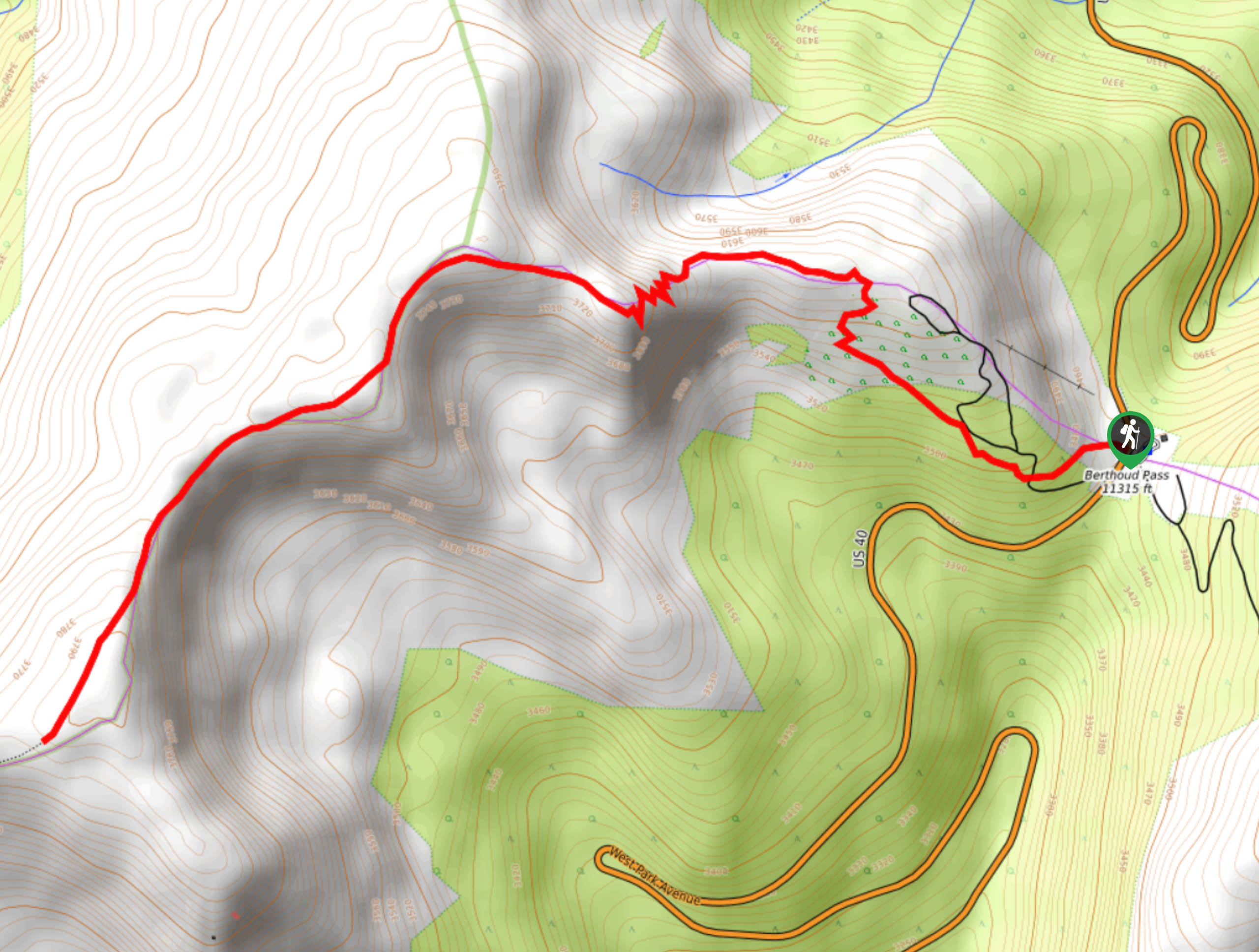
Access to the Berthoud Pass Trail is on the west side of Highway 40. Park at the Berthoud parking lot and walk across the highway to the trailhead.

About
| Backcountry Campground | No |
| When to do | Year-round |
| Pets allowed | Yes - On Leash |
| Family friendly | Older Children only |
| Route Signage | Average |
| Crowd Levels | High |
| Route Type | Out and back |
Berthoud Pass Trail
Elevation Graph
Weather
Berthoud Pass Hike Description
It should be a rite of passage to hike the Berthoud Pass Trail when visiting Idaho Springs. This trail truly is the whole package, scenery wise at least. The Berthoud Pass Trail treks up various alpine environments to the pass. Hike through strikingly tall fir and spruce trees before walking up the exposed alpine tundra to the Divide. There are rarely any obstructions to your panoramic vistas, which means that the trail is quite exposed. Check the weather prior to setting out on this adventure and try to summit the pass before the afternoon. Afternoon storms are frequent and very dangerous at such high altitude. As always, wear layers as insurance against inclement and windy weather at the summit.
The vertiginous Berthoud Pass Trail will have you sucking wind, but it’s all worth it. If you’re like us, you need something to motivate you as you work out. Well, on the Berthoud Pass you will be rewarded with a new perspective of the Colorado wilderness with every step you take. It makes working out way more fun if you are surrounded by incredibly beautiful scenery. We absolutely love this hike, and if you don’t mind a bit of a challenge, we know you will too.
Begin your adventure from the Berthoud Pass Trailhead on the west side of Highway 40. From the trailhead take the Berthoud Pass West Trail. As you can probably guess, you’re going to want to head west along the trail. Shortly after your departure from the trailhead you will confront a junction, stay left. Walk through the alpine forest as you gradually, but noticeably, climb.
You will soon top the timberline and the intensity will pick up. Hike up the rocky path and navigate your first set of switchbacks, that’s right, there’s more to come. Maneuver the winding trail and summit the rocky ridge. Do take a moment to admire the scenery and catch your breath before continuing your climb.
Track west along the ridge before confronting another set of even more intense switchbacks. Follow the zigzagging path and mind your footing on the rocky route. This will be the steepest ascent of the adventure. Take a moment to catch your breath once you conquer the switchbacks and summit the Continental Divide. Revel in the picture-perfect views of the overlapping craggy peaks and lush wilderness before continuing.
Hike southwest along the Berthoud Pass West Trail along the Divide. Keep your balance as you navigate the windy and likely snow dusted pass. Trek along the steep ledge to the end of the Berthoud Pass Trail. From here you will see the nearby peaks of Stanley Mountain in the southwest, Vasquez Peak in the west and Colorado Mines Peak in the east.
If you have any energy left in the reserve, we recommend continuing along the trail and summiting Stanley Mountain. This add on is short, and honestly a walk in the park compared to what you have tackled up until this point. Summit the peak and enjoy the vertigo-inducing sights of the alpine forests below and sights of the Colorado Ranges for as far as the eye can see.
Catch your breath, refuel and rehydrate before beginning your descent. When you are ready, simply retrace your steps down the path all the way back to the parking lot.
Trail Highlights
The Berthoud Pass
The Berthoud Pass is a mountain pass over the Continental Divide in Central Colorado. The Berthoud Pass has several hiking routes, but the most popular attraction might just be the white-knuckle drive over the pass. The Berthoud Pass drive by Highway 40 is a scenic byway connecting the towns of Empire and Winter Park. This winding road is impressively picturesque, but drivers will have to navigate steep switchbacks as the route guides you over the pass. Be prepared for high winds as you gain elevation. With impressive vistas around every turn, the Berthoud Pass drive is a great way to experience stunning panoramic vistas without the effort of hiking a peak.
Frequently Asked Questions
What National Forest is the Berthoud Pass in?
The Berthoud Pass is in the Arapaho & Roosevelt National Forests Pawnee National Grassland.
When is the Berthoud Pass Trail open?
The Berthoud Pass Trail is open year-around. Consider switching your hiking boots out for snowshoes in the winter months.
What is the elevation of Berthoud Pass?
The Berthoud Pass sits at 11306ft of elevation.
Similar hikes to the Berthoud Pass Trail hike

Hankins Pass Hike
The Hankins Pass Hike is a quintessential adventure across the Lost Creek Wilderness. The hike demonstrates the diversity of the…

Miller Gulch Loop Trail
The Miller Gulch Loop Trail is a scenic meadowland adventure in the Pike National Forest. Hike through grassy meadows laden…

The Castle Hike
The Castle Hike is an exciting adventure up the steep, forested terrain to The Castle Rock. From atop the summit,…
Comments