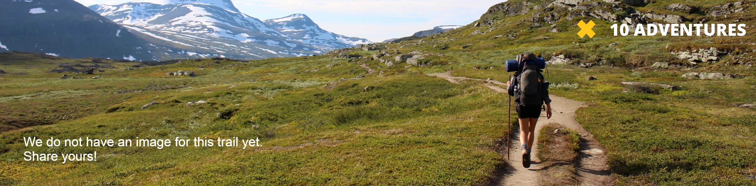
Argentine Pass Trail
View Photos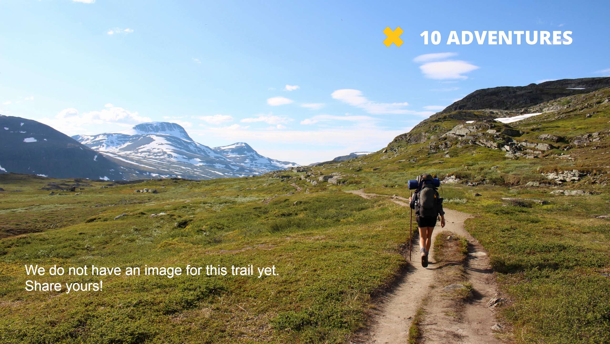
Argentine Pass Trail
Difficulty Rating:
The Argentine Pass Trail is a demanding excursion through the Colorado wilderness, but trust us, it is worth the sweat. Hike up the steep ridge to summit the Argentine Pass. From atop the Continental Divide, you will be rewarded with 360-degree panoramic views of the Rocky Mountain peaks and the forested valleys below.
Getting there
The trailhead for the Argentine Pass Hike is located at the end of the Forest Service 260 road.

About
| Backcountry Campground | No |
| When to do | May-October |
| Pets allowed | Yes - On Leash |
| Family friendly | No |
| Route Signage | Average |
| Crowd Levels | Moderate |
| Route Type | Out and back |
Argentine Pass Trail
Elevation Graph
Weather
Argentine Pass Hike Description
The Argentine Pass Trail is an incredibly scenic adventure up the Continental Divide. It is worth noting that though this trail is marked dog-friendly, the narrow path and extremely rocky terrain is not favorable for your four-legged friend. If you choose to bring them, consider putting booties on their paws to ease the roughness. For hikers alike, the terrain is extremely technical and steep. Make sure you have sturdy hiking shoes and consider trekking poles. As you ascend the Divide it will get extremely windy, wear layers and check the weather prior to your excursion to avoid getting caught in a storm.
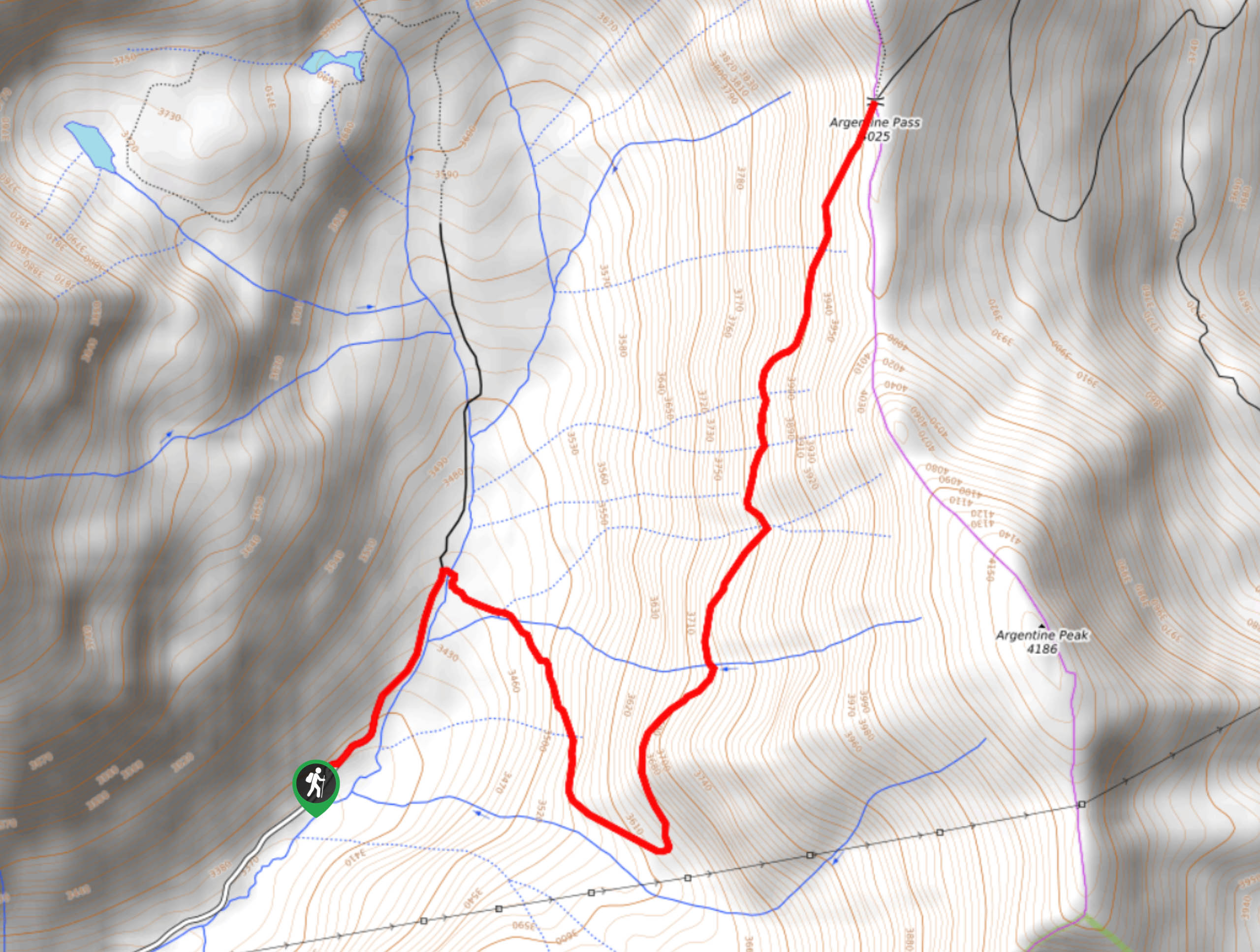
When you are ready to begin your adventure up the Argentine Pass Trail, track northeast past the old mine remnants onto County Road 260. Shortly after your departure from the trailhead, you will encounter an intersection. Veer right over Peru Creek and track southeast on the Argentine Pass Trail. This path is very rocky and steep from the start, but it is incredibly scenic every step of the way. Continue along the path as it intersects with several alpine creeks before readjusting northeastward. Climb up the route as you hike along the pass’ edge. You will have to maneuver several more stream crossings as you summit the Continental Divide. As you travel up the pass, you will notice old mine remnants below.
Trek up the gravel route and mind your footing as you come to the final ascent. Navigate the rocky scree field and summit the Argentine Pass. From here you can explore the rocky pass. Revel in the unique perspective of the Colorado landscape from atop the Continental Divide. See Mount Edwards in the northwest and Argentine Peak in the south. Explore the pass before commencing your descent. Exercise caution when climbing down the pass. Mind your footing and be careful of loose rocks. Simply retrace your steps along the trail back to the parking lot.
Similar hikes to the Argentine Pass Trail hike

Hankins Pass Hike
The Hankins Pass Hike is a quintessential adventure across the Lost Creek Wilderness. The hike demonstrates the diversity of the…

Miller Gulch Loop Trail
The Miller Gulch Loop Trail is a scenic meadowland adventure in the Pike National Forest. Hike through grassy meadows laden…

The Castle Hike
The Castle Hike is an exciting adventure up the steep, forested terrain to The Castle Rock. From atop the summit,…
Comments