Taggart Peak
View Photos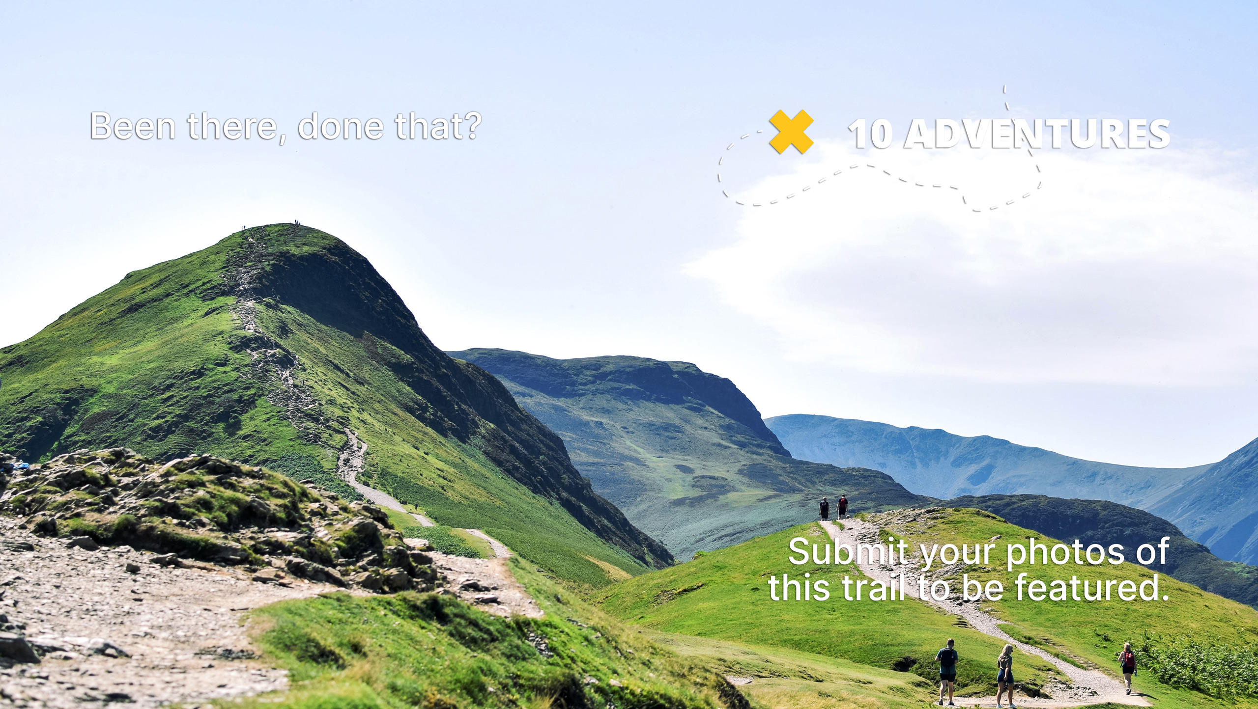
Taggart Peak
Difficulty Rating:
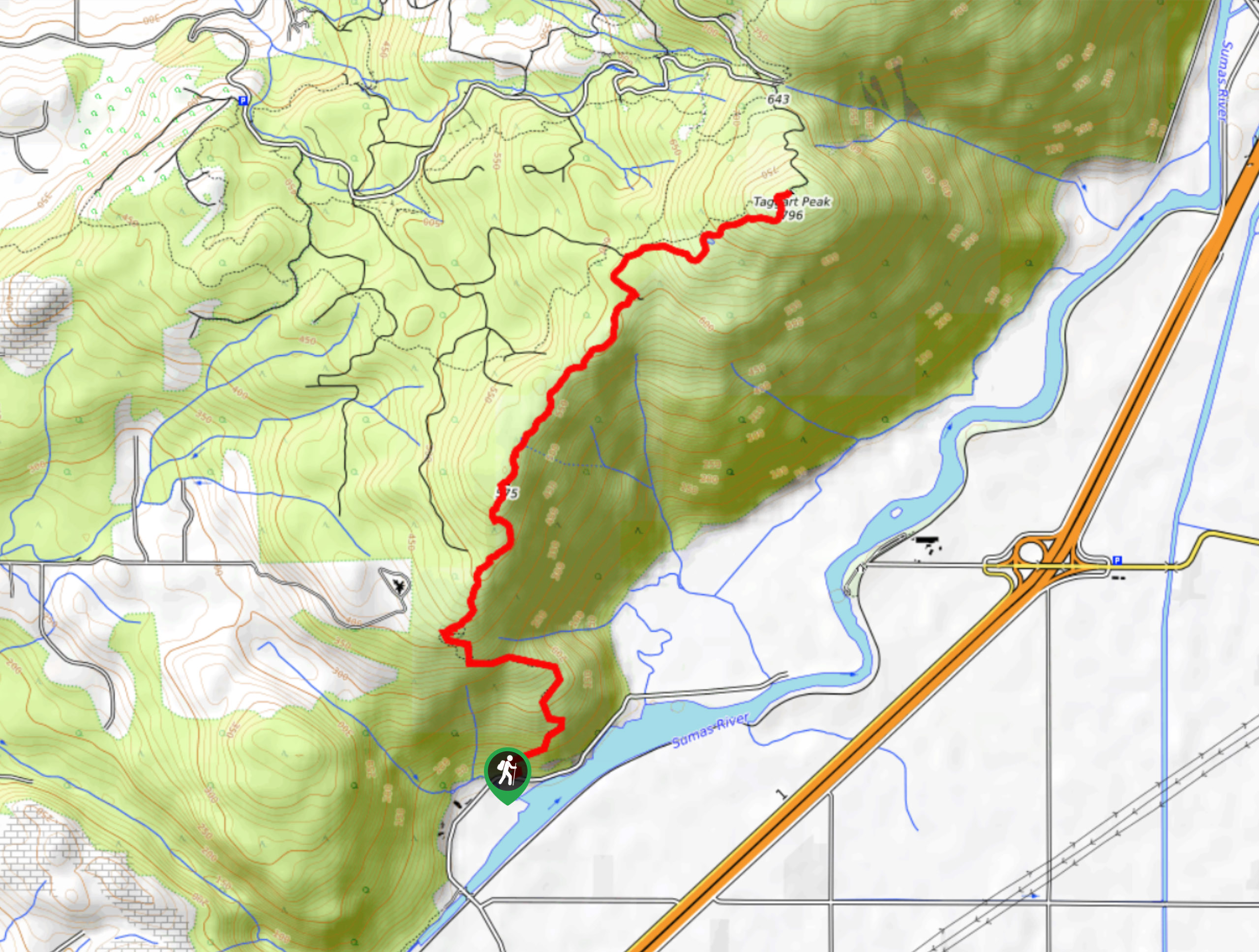
Hiking up to Taggart Peak is a 6.8mi journey that includes the steep climb up the Abby Grind Trail and the final push up to the summit. This route is sure to get your heart pumping, but will also provide some nice views over the valley and the surrounding mountains. If you are looking to extend your hike even further, try exploring the vast network of routes that spread throughout the park.
Getting there
To get to the trailhead for Taggart Peak from Chilliwack, drive southwest on BC-1 W and take exit 104. Continue on the road for 1476ft and make a right turn onto No. 3 Road, where you will immediately turn left on N Parallel Road. Continue straight for 1.5mi and make a right turn onto No.4 Road. Follow this for 0.6mi and turn right onto McDermott Road, where you will find the trailhead on the left in 2625ft.

About
| When to do | Year-Round |
| Backcountry Campsites | No |
| Pets allowed | Yes - On Leash |
| Family friendly | No |
| Route Signage | Average |
| Crowd Levels | Moderate |
| Route Type | Out and back |
Taggart Peak
Elevation Graph
Weather
Taggart Peak Trail Description
The Trek to Taggart Peak is a steep uphill hiking route in Sumas Mountain Regional Park that utilizes the Abby Grind Trail before pushing on to the summit of Taggart Peak. The initial stretch of this trail has a very steep grade, so it is recommended that you wear sturdy hiking footwear and bring hiking poles for the return journey to lessen the impact on your knees.
The trail climbs sharply uphill through the dense tree cover along a route that winds up the side of the hill. Eventually, you will have scenic views that stretch across the green expanse of the valley below. Continue on in a northeast direction as the trail climbs up and down on the ascent of Taggart Peak. From the summit, you will have partially obstructed views through the trees of nearby mountains. This trail is a great way to push yourself beyond the Abby Grind and track a few extra kilometres.
Similar hikes to the Taggart Peak hike

Chipmunk Creek Trail
Hike along the Chipmunk Creek Trail to experience the feeling of solitude along the trail while taking in scenic views…

Matsqui Trail
The Matsqui Trail is a 16.7mi multi-use trail that travels alongside the Fraser River and provides nice views…

Flora Peak Trail
The Flora Peak Trail is an 7.1mi out-and-back hiking route that will take you through dense forests and…
Comments