
Sandy Cove Trail
View Photos
Sandy Cove Trail
Difficulty Rating:
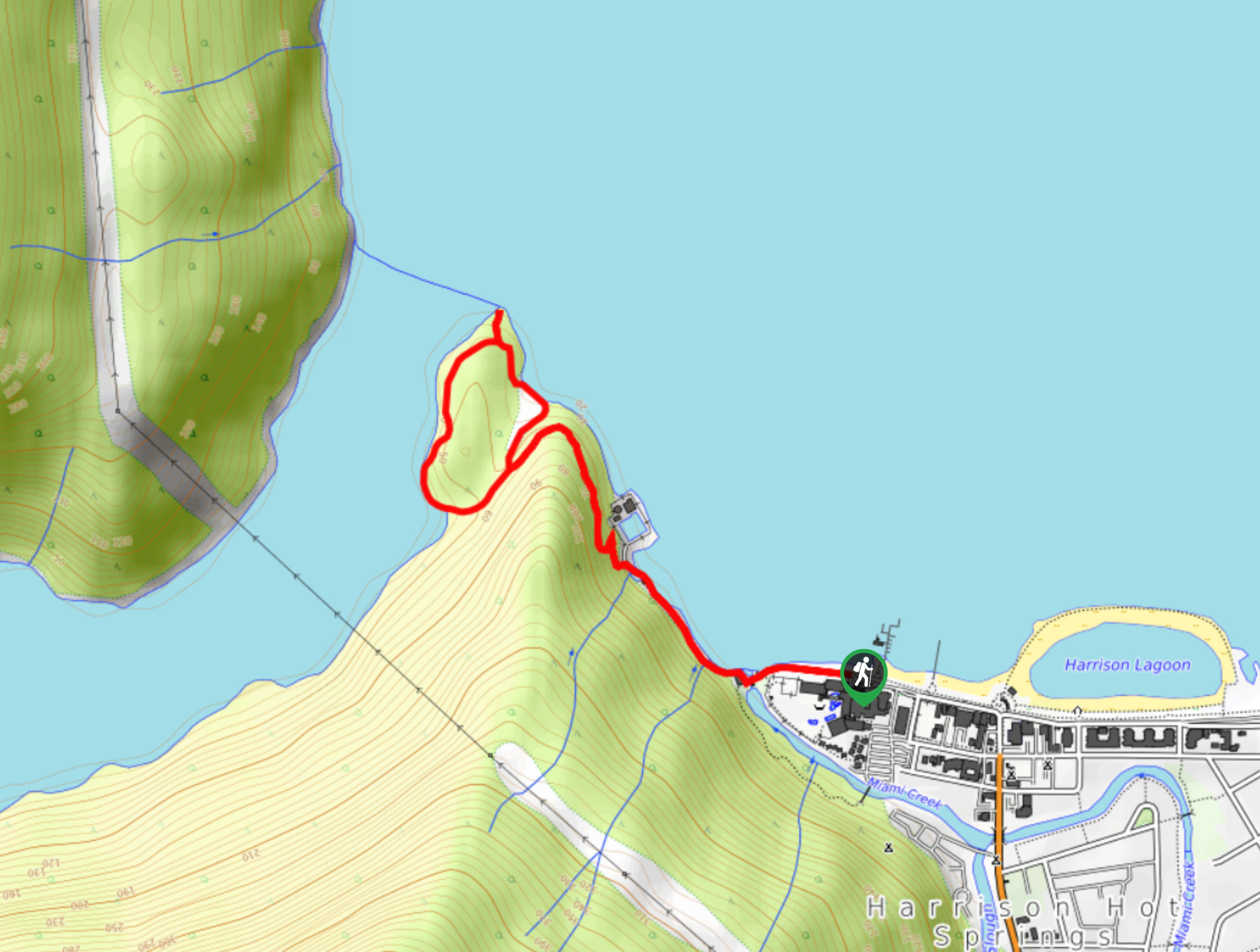
The Sandy Cove Trail is a peaceful forest hike near Harrison Hot Springs that will take you to two scenic vantage points with views of Harrison Lake. The initial part of the trail is a bit rocky but transitions into a lovely forested walk to Sandy Cove Beach before continuing on to Whippoorwill Point. This quick hike offers a nice retreat with calming views over the water.
Getting there
To reach the trailhead for the Sandy Cove Trail from Agassiz, head northwest on BC-9 and turn right onto Hot Springs Road. Continue on for 4.0mi and turn left onto Esplanade Avenue. You will find the parking area straight ahead in 492ft.

About
| When to do | Year-Round |
| Backcountry Campsites | No |
| Pets allowed | Yes - On Leash |
| Family friendly | Yes |
| Route Signage | Average |
| Crowd Levels | Moderate |
| Route Type | Lollipop |
Sandy Cove Trail
Elevation Graph
Weather
Sandy Cove Trail Description
The Sandy Cove Trail is a popular family-friendly hike that sets out from Harrison Hot Springs and travels along the water’s edge to reach a beautiful sandy beach and a scenic lookout at Whippoorwill Point. This trail has some minor changes in elevation, but they are more than manageable for hikers of all skill levels if you take your time.
The trail travels through a beautiful stretch of forest to arrive at Sandy Cove Beach, a peaceful spot to sit and look out over the serene waters of Harrison Lake. Continuing around the loop, you will have more amazing views over the water and surrounding mountains from another quiet viewpoint at Whippoorwill Point. This is a fantastic hike if you are looking for scenic views and a bit of peace and quiet on the trail.
Similar hikes to the Sandy Cove Trail hike
Popkum Community Trail
Hike along the Popkum Community Trail for a fun and educational experience where you can learn about the wildlife and…
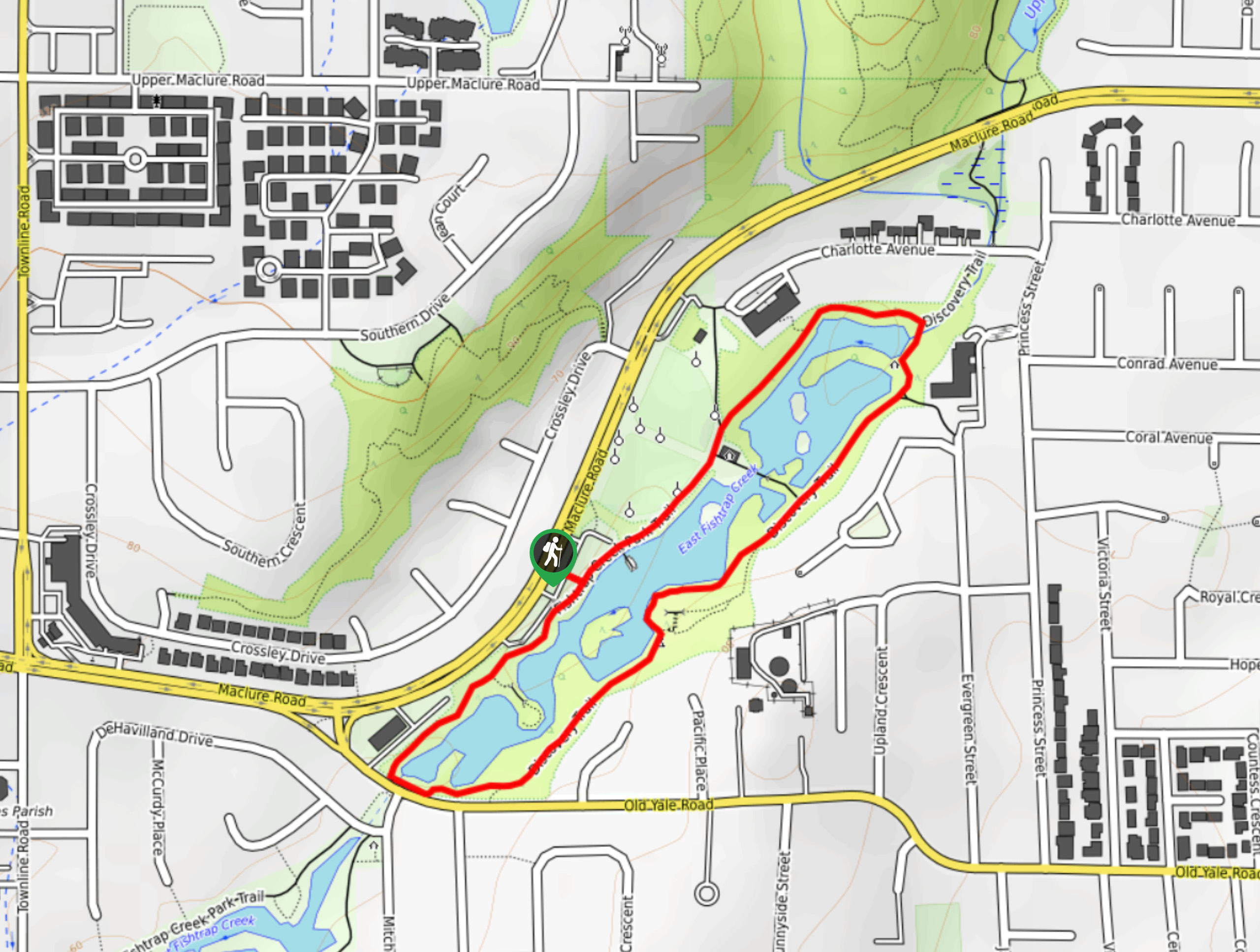
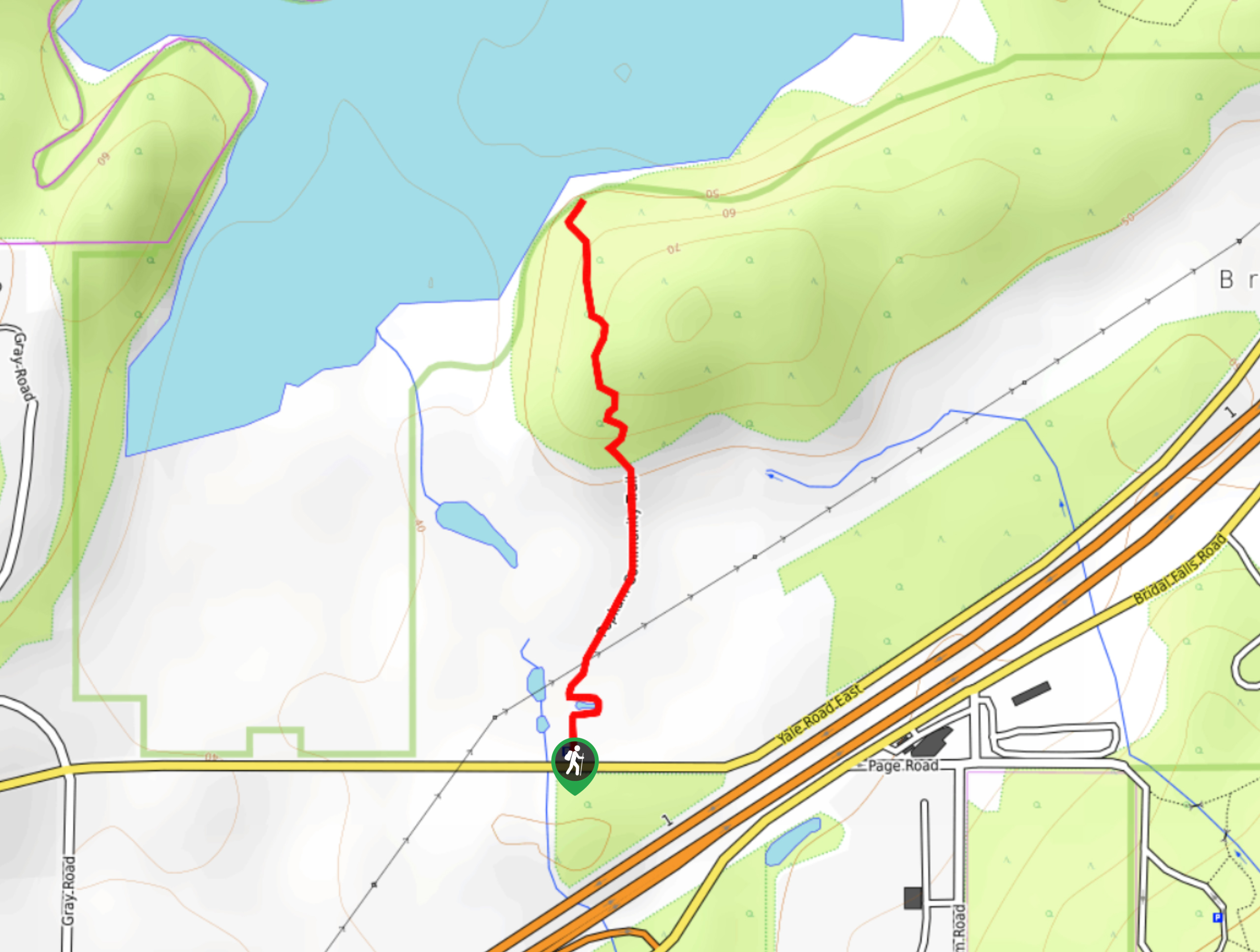
Fishtrap Creek Loop
Hiking the Fishtrap Creek Loop in Abbotsford is a great way to get out and explore the natural beauty of…

Matsqui Trail
The Matsqui Trail is a 16.7mi multi-use trail that travels alongside the Fraser River and provides nice views…
Comments