Hope Lookout Trail
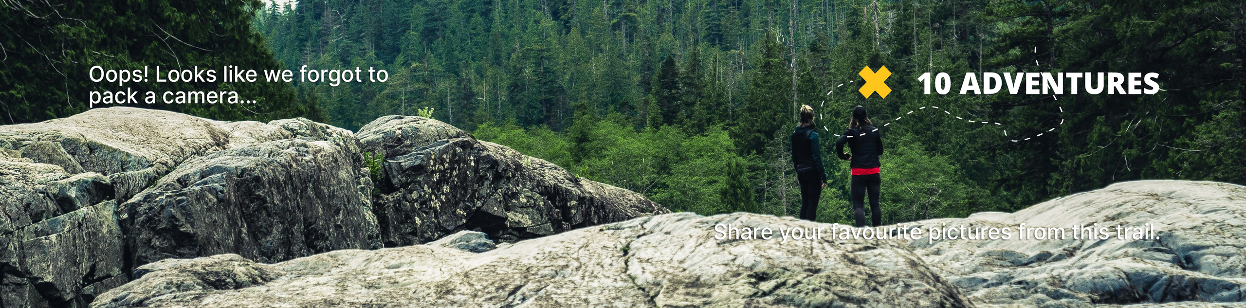
View Photos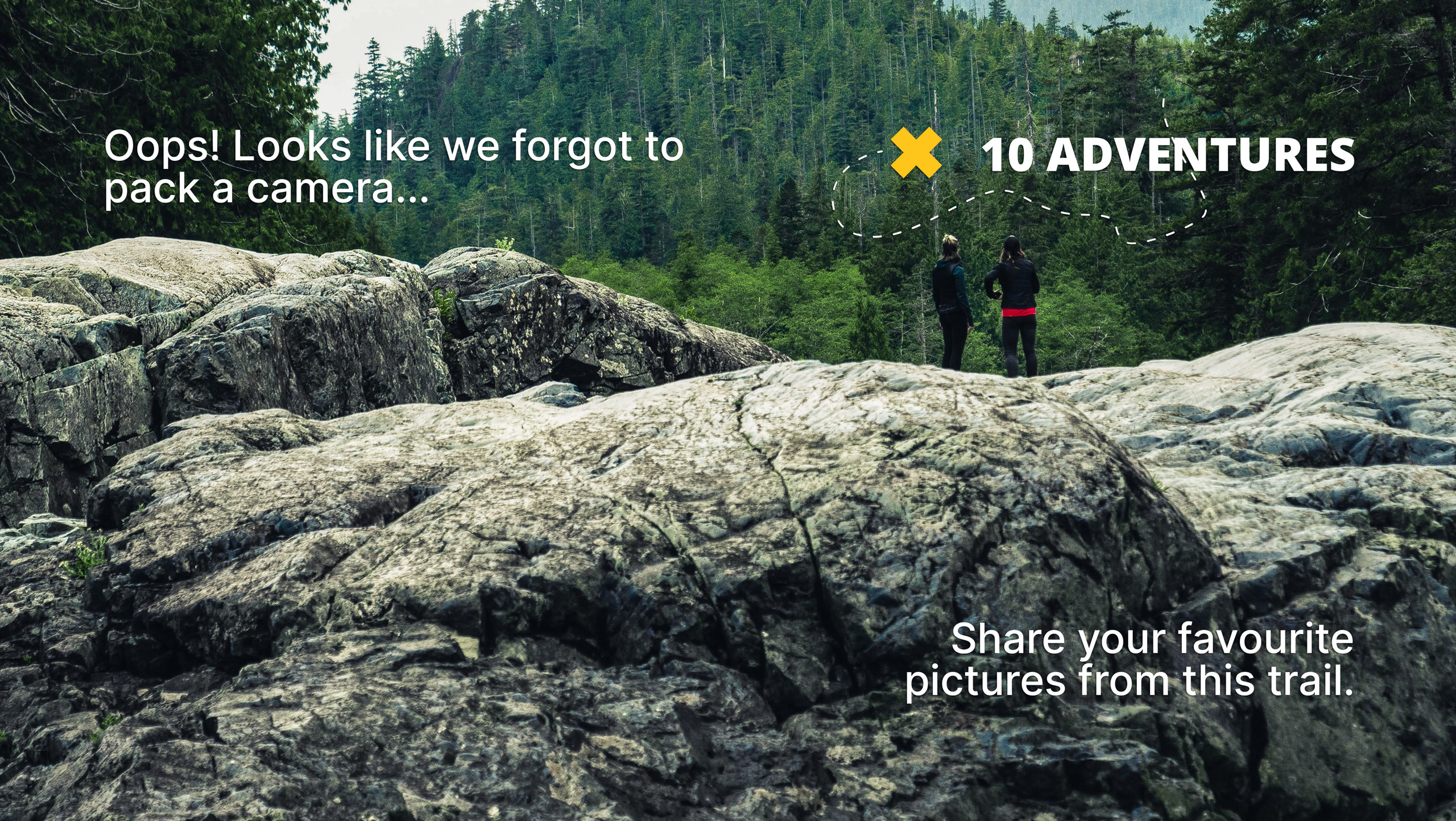
Hope Lookout Trail
Difficulty Rating:
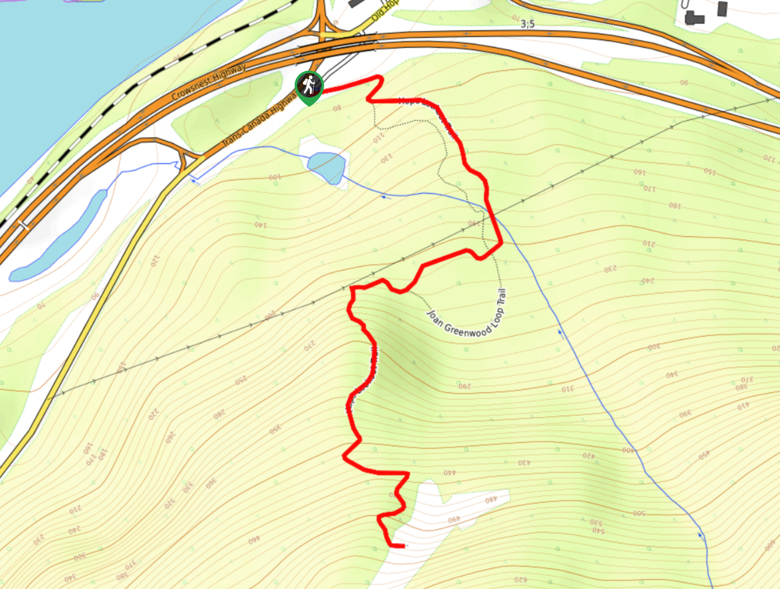
The Hope Lookout Trail is a physically demanding, short hiking route just south of Hope that climbs up the steep lower slopes of Hope Mountain to provide an awesome view over the city. This quick 2.3mi out-and-back hike is a leg burner, but the views from the vantage point are certainly worth the effort. From the lookout you will have a great sightline of the rugged mountains that surround the Fraser River as it cuts through the valley.
Getting there
To reach the trailhead for the Hope Lookout Trail from Memorial Park in Hope, head southeast on 3 Avenue for 2297ft and turn right onto Old Hope Princeton Way. After 886ft, turn left and you will reach the parking area in another 492ft

About
| When to do | April-November |
| Backcountry Campsites | No |
| Pets allowed | No |
| Family friendly | No |
| Route Signage | Average |
| Crowd Levels | Moderate |
| Route Type | Out and back |
Hope Lookout Trail
Elevation Graph
Weather
Hope Lookout Trail Description
The Hope Lookout Trail may be short, but with a steep uphill climb of 1529ft over the 2.3mi of trail, it is certainly a grind that will get your heartrate up. Be prepared for a quick hike and a good workout. Climbing uphill through the forested lower slopes of Hope Mountain, this quick hike provides the opportunity to gaze out over the city from a nice vantage point. From here, you will be able to take in the expanse of the Fraser Valley at one of its most picturesque locations – with the beautiful Fraser River snaking its way off into the distance while surrounded by a wall of rugged mountains. The views from atop this tough trail are definitely worth the effort.
Similar hikes to the Hope Lookout Trail hike

Chipmunk Creek Trail
Hike along the Chipmunk Creek Trail to experience the feeling of solitude along the trail while taking in scenic views…

Matsqui Trail
The Matsqui Trail is a 16.7mi multi-use trail that travels alongside the Fraser River and provides nice views…

Flora Peak Trail
The Flora Peak Trail is an 7.1mi out-and-back hiking route that will take you through dense forests and…
Comments