Woody Mountain via Rogers Lake Trail
View Photos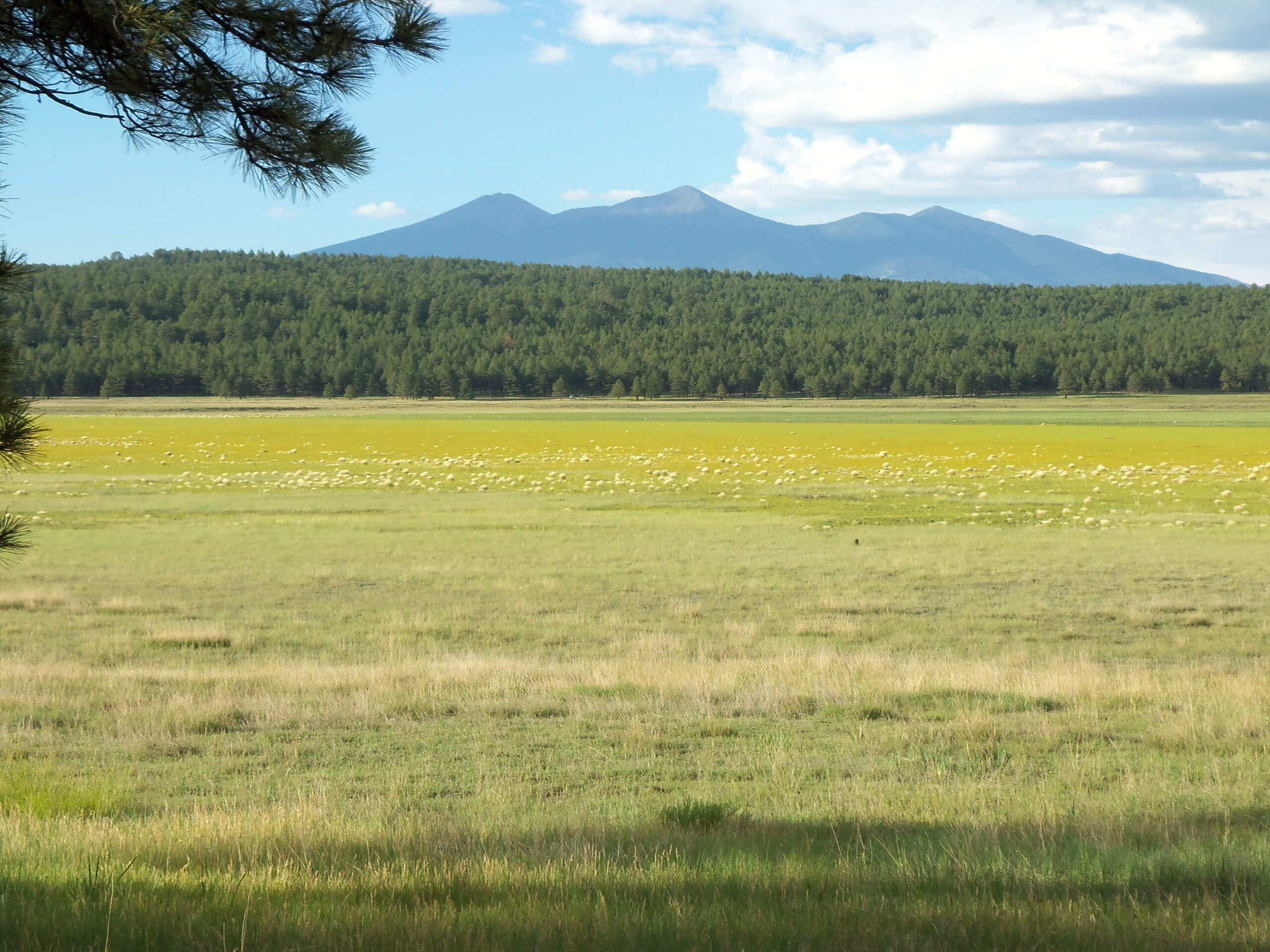
Woody Mountain via Rogers Lake Trail
Difficulty Rating:
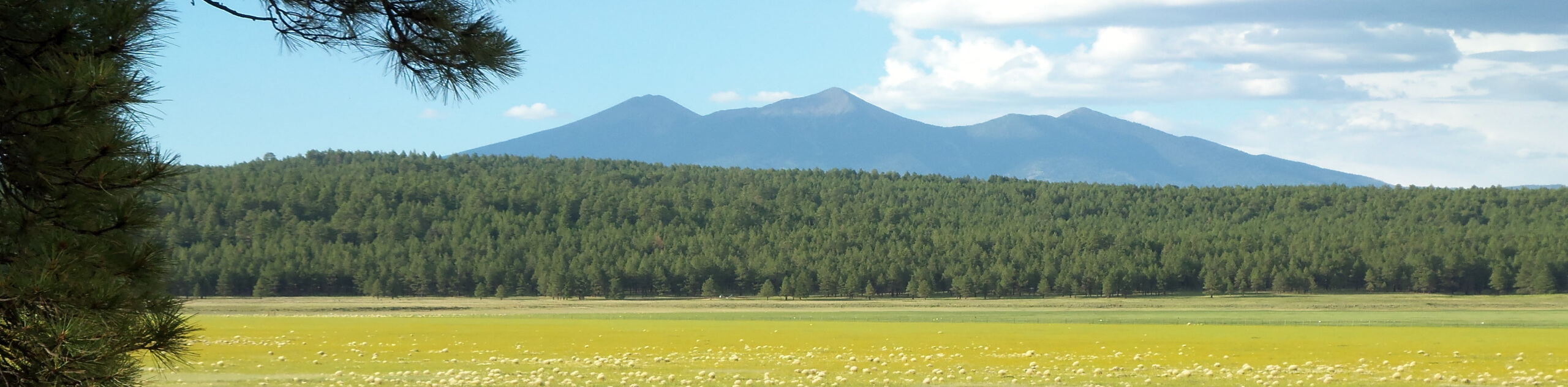
Woody Mountain via Rogers Lake Trail is a moderate hike southwest of Flagstaff. This route leads you through a sparse ponderosa pine forest, then through a more dense stand of trees and finally up the side of Woody Mountain to a viewpoint tower, which was built in the 1930s. This is a nice way to achieve a summit without needing to complete a super strenuous hike. It’s suitable for active older families and dogs are permitted on leash.
Getting there
The trailhead for Woody Mountain via Rogers Lake Trail is at the intersection of Woody Mountain Road and Forest Service Road 9026.

About
| Backcountry Campground | No |
| When to do | March-November |
| Pets allowed | Yes - On Leash |
| Family friendly | Older Children only |
| Route Signage | Average |
| Crowd Levels | Low |
| Route Type | Out and back |
Woody Mountain via Rogers Lake Trail
Elevation Graph
Weather
Woody Mountain via Rogers Lake Trail Description
Woody Mountain is a lone summit near Rogers Lake southwest of Flagstaff, Arizona. This moderate hike leads you up to the viewpoint tower on top of Woody Mountain, which was built in 1936 (still very stable, though). From here, you’ll have great views of mountains in the distance and a glimpse of Rogers Lake. There are some steep, rocky sections on this trail, so it’s a good pick for strong beginners who want to start to expand their skills.
This route does present a navigational challenge when you’re trying to connect from the forest road to the trail, so we recommend downloading the GPS route and referring to it if you’re not sure which way to go. Thankfully, the rest of the route is easy to follow. The drive to the trailhead is washboarded, so take a high-clearance vehicle if you can.
From the trailhead, follow the Forest road south along the Sinclair Wash. This part of the route is fairly laid-back, sparsely forested, and easy to follow. The route begins to zig-zag as you make your way into a shady forest which is a scenic portion of the hike. As you climb uphill, you’ll take the Rogers Lake Connector as it heads across the southern base of the mountain, turns northwest, and then picks up the trail to the summit. From the top, you’ll do a bit of trailblazing down to the connector, or you can retrace your steps if you’d prefer an easier descent with added distance.
Similar hikes to the Woody Mountain via Rogers Lake Trail hike

Fay Canyon Loop
Fay Canyon is one of several main canyons in the Walnut Canyon National Monument. This loop hike explores part of…

Sandy Steps, Heart, and Upper Oldham Trail
The Sandy Steps, Heart, and Upper Oldham hike makes use of several different trails to create a hike that stretches…

Fisher Point via Fay Canyon
Fisher Point is one of the best viewpoints into the gorgeous Walnut Canyon. This route leads you to the point…
Comments