Walnut Meadows Loop
View Photos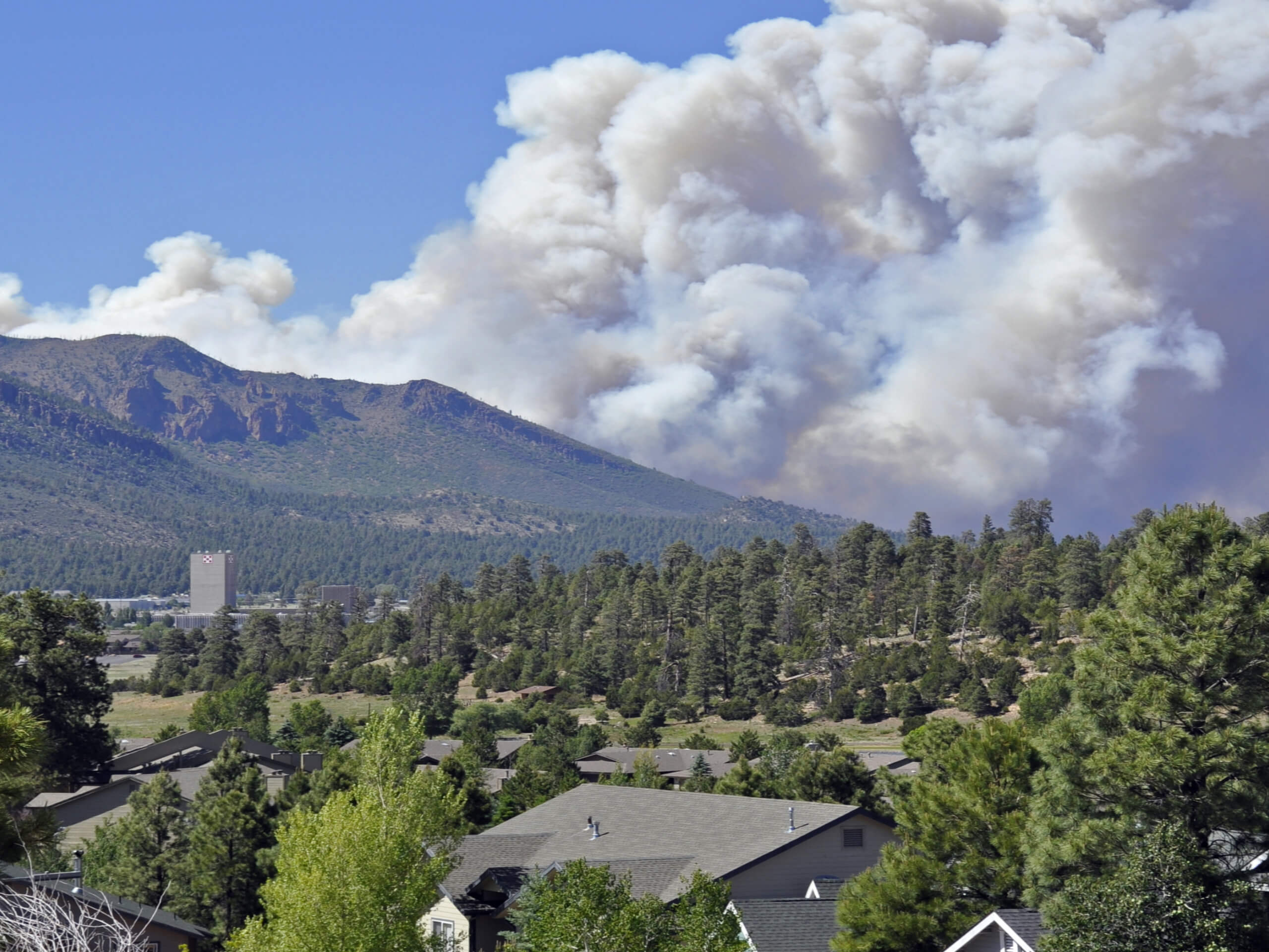
Walnut Meadows Loop
Difficulty Rating:
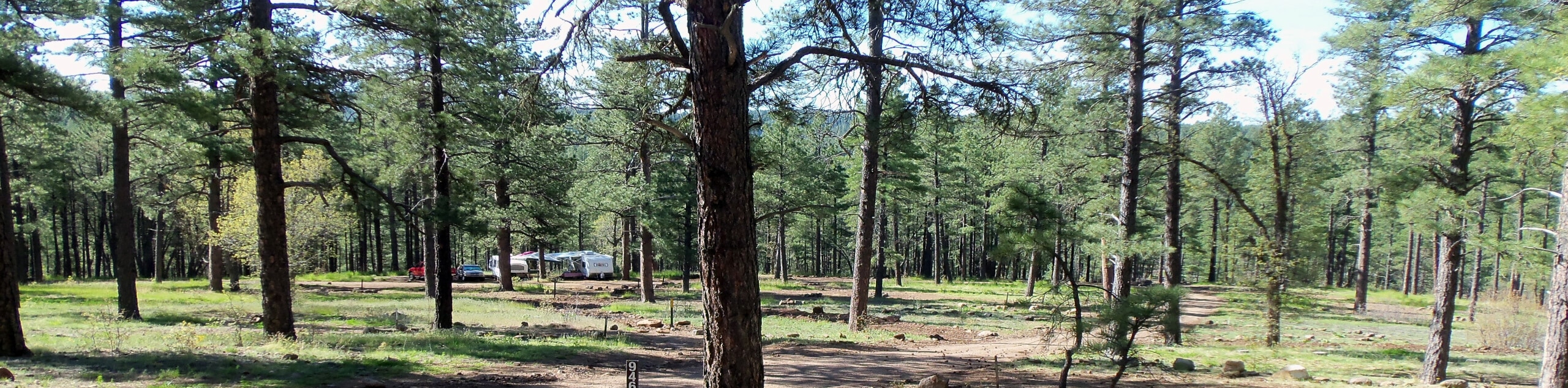
Take advantage of the picturesque Walnut Canyon area on the Walnut Meadows Loop, an easy hike that comes in just under 4.0mi long. This route loops through a mostly flat ponderosa pine forest. It’s a lovely trip in nature any time of the year, but it’s worth trying to plan your hike for when the wildflowers are in bloom since there are so many alongside the trail.
This route is easy enough for all skill levels and ages. It’s great if you want to take the dogs out for a walk. It can be used as a simple hike on its own or as a warm-up for a longer day of outdoor adventure.
Getting there
The trailhead for the Walnut Meadows Loop is off E Old Walnut Canyon Road.

About
| Backcountry Campground | No |
| When to do | March-November |
| Pets allowed | Yes - On Leash |
| Family friendly | Yes |
| Route Signage | Poor |
| Crowd Levels | Moderate |
| Route Type | Loop |
Walnut Meadows Loop
Elevation Graph
Weather
Walnut Meadows Loop Description
The Walnut Meadows Loop is a 3.9mi loop hike on the far east side of Flagstaff, Arizona. This route brings you close to Walnut Canyon (although not in view) through a peaceful stand of ponderosa pine. It’s an easy hike with very little elevation gain, so we recommend it for all skill levels.
This route is a treat when the wildflowers are in bloom, so we recommend trying to plan your hike for late spring through mid-summer if you can. This trail can be hiked throughout the year; consider microspikes in the winter and come dressed to be in the shade most of the way.
While you’ll mostly see hikers on the trail, mountain bikers and trail runners may also be out. Watch for each other and remember to share the trail. The route tends to be plenty wide to move over and let others pass.
While navigation on this route isn’t a particular challenge thanks to the obvious nature of the trail, the signage isn’t great, especially at the trailhead. You’ll take an immediate right after the fence and gate to get onto the trail.
This route starts from the north side of the road across from Walnut Canyon Lakes. There’s public parking here. You’ll start out on Sinagua Loop for a few steps before reaching the beginning of the loop. You can hike either clockwise or counterclockwise, but our guide travels counterclockwise.
Take a right and then stay left at the fork onto Walnut Meadows Loop. Hike parallel to the road through the trees, staying right where Sinagua Loop intersects. Enjoy the calm of the forest and see what kinds of birds you might be able to spot.
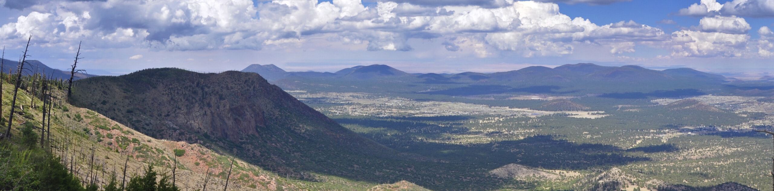
After following the road for a stretch, the loop begins to turn to your left for the return trip. This is the quietest part of the hike, so take your time as you make your way through the pine trees and meadows. There are some peekaboo views of Elden Mountain from certain spots.
The loop will deliver you back to the original split, where you can make your way back to the trailhead.
Hiking Route Highlights
Elden Mountain
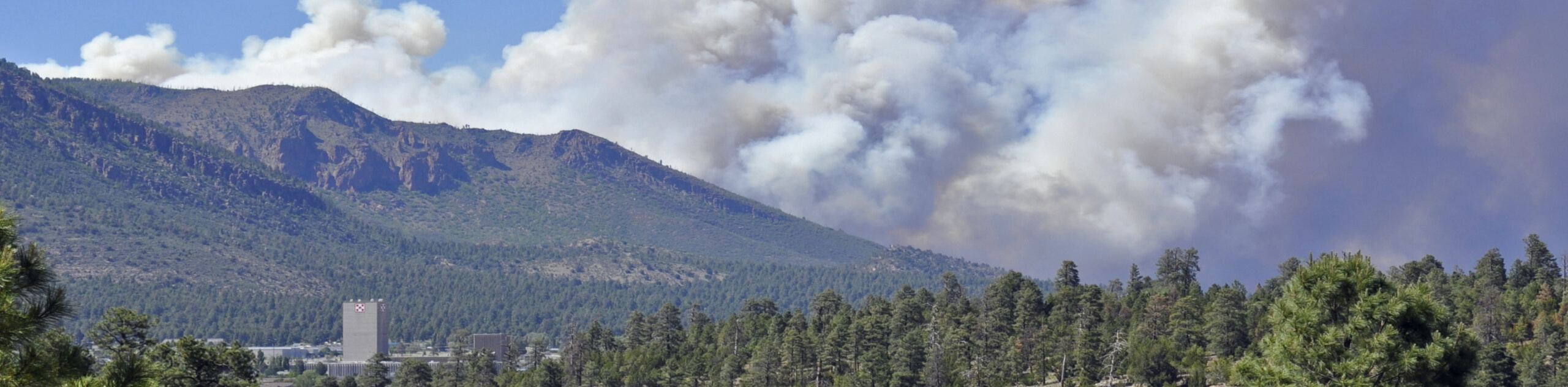
The highlight of the view on this hike is Elden Mountain. Standing at 9301ft of elevation with 1219ft of prominence, Elden Mountain was named for John Elden, one of the earliest settlers of the Flagstaff area. He established a homestead near the mountain’s base in the 19th century. The mountain, which is part of the San Francisco volcanic field, is a prominent feature from many parts of the city.
Frequently Asked Questions
Is the Walnut Meadows Loop dog-friendly?
Dogs on leash are welcome on this trail.
Can you hike the Walnut Meadows loop year-round?
Yes, but you will likely be hiking through some snow or ice in the wintertime. Tread carefully.
Insider Hints
Birders will likely enjoy this trail–bring some binoculars!
Similar hikes to the Walnut Meadows Loop hike

Fay Canyon Loop
Fay Canyon is one of several main canyons in the Walnut Canyon National Monument. This loop hike explores part of…
Pumphouse Nature Trail
Pumphouse Nature Trail is a short and pleasant walk in Kachina Village, Arizona. This route is only 1.1mi…
Doney Mountain Trail
Doney Mountain Trail is a short hike in the far northeastern corner of Sunset Crater Volcano National Monument. This route…
Comments