O'Leary Peak Trail
View Photos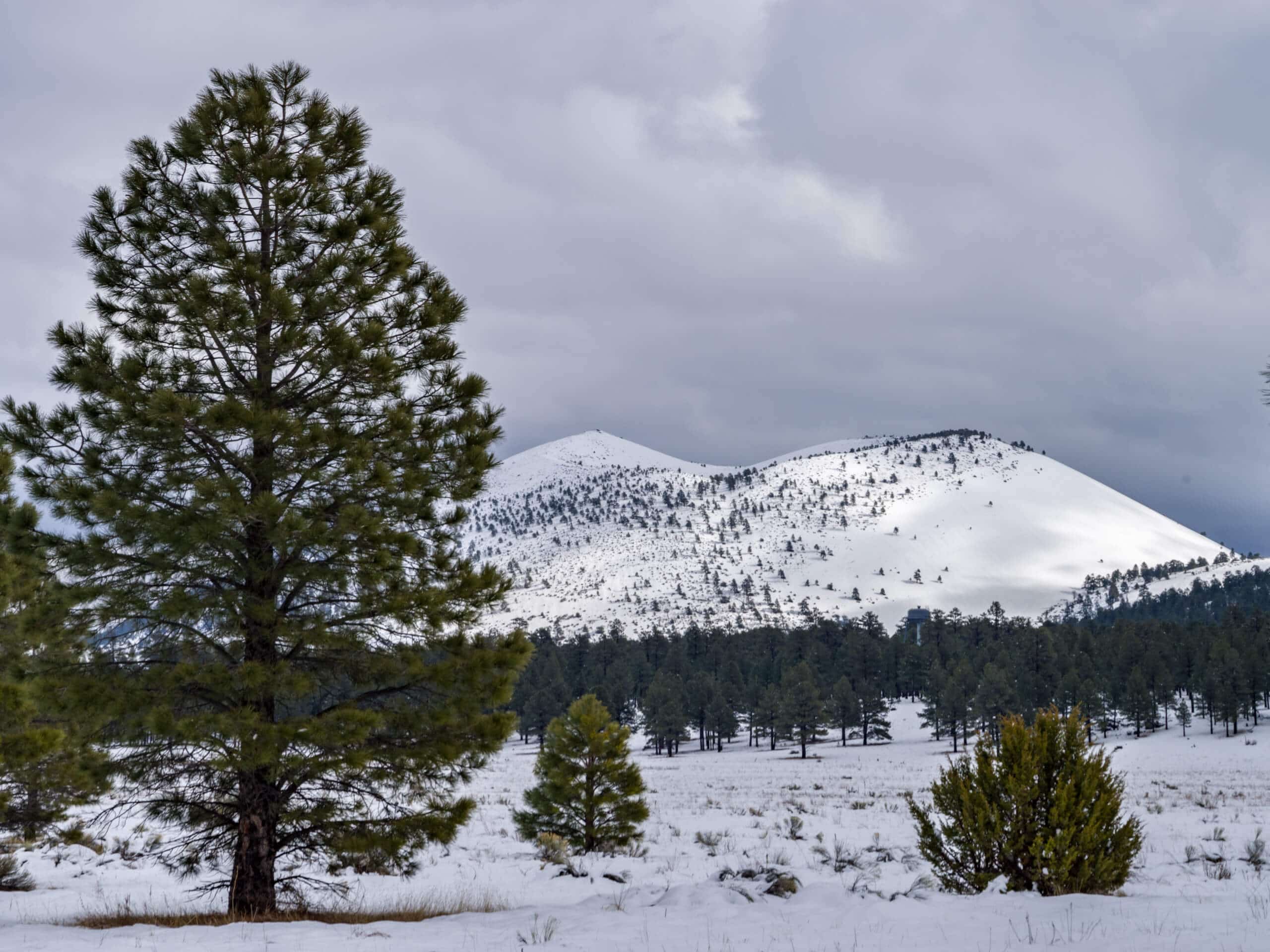
O'Leary Peak Trail
Difficulty Rating:
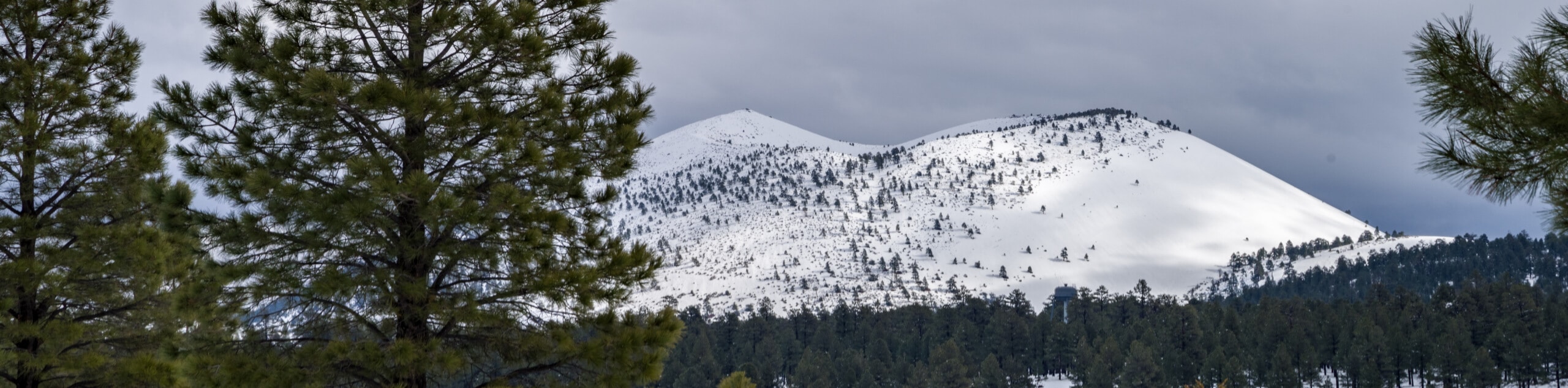
From the top of O’Leary Peak, you have a great view of nearby Darton Dome, Robinson Mountain, the Robinson Crater, and the Sunset Crater Volcano National Monument. The view from the lookout tour is definitely worth the climb, which is moderately difficult and out in the sun most of the way. This is an excellent mid-difficulty and mid-distance hike that gives you an interesting perspective on the volcanic past of the Flagstaff area.
Getting there
The trailhead for the O'Leary Peak Trail is on Forest Service Road 545A.

About
| Backcountry Campground | O’Leary Group Campground |
| When to do | March-November |
| Pets allowed | Yes - On Leash |
| Family friendly | No |
| Route Signage | Average |
| Crowd Levels | Moderate |
| Route Type | Out and back |
O'Leary Peak Trail
Elevation Graph
Weather
O'Leary Peak Trail Description
For a vantage point over remnants of Flagstaff’s volcanic past, give the O’Leary Peak Trail a try. This hike takes you atop a peak with a lookout tower that gives you a view of nearby Darton Dome, Robinson Mountain, Robinson Crater, the and Sunset Crater Volcano National Monument. The route itself is moderately difficult, coming in at a nice middle difficulty and distance for most semi-regular hikers.
This route is out in the sun nearly the entire length of the trail, and on a hot day, the climb can be tiring and dehydrating. Please make sure you prepare for your hike with plenty of water and consider sun protection if you’re hiking on a hot day.
From the trailhead, which is near the access road to the O’Leary Group Campground, continue up the forest road. You’ll follow this road the whole way, so the trail remains easy to follow and wide, although it does get rocky in some places. The road turns towards the mountains and climbs up towards the base of the peak, making 7 wide switchbacking turns that get progressively steeper. From the top, you’ll simply retrace your steps to the trailhead.
Similar hikes to the O'Leary Peak Trail hike

Fay Canyon Loop
Fay Canyon is one of several main canyons in the Walnut Canyon National Monument. This loop hike explores part of…

Sandy Steps, Heart, and Upper Oldham Trail
The Sandy Steps, Heart, and Upper Oldham hike makes use of several different trails to create a hike that stretches…

Fisher Point via Fay Canyon
Fisher Point is one of the best viewpoints into the gorgeous Walnut Canyon. This route leads you to the point…
Comments