Tamarack Trail
View Photos
Tamarack Trail
Difficulty Rating:
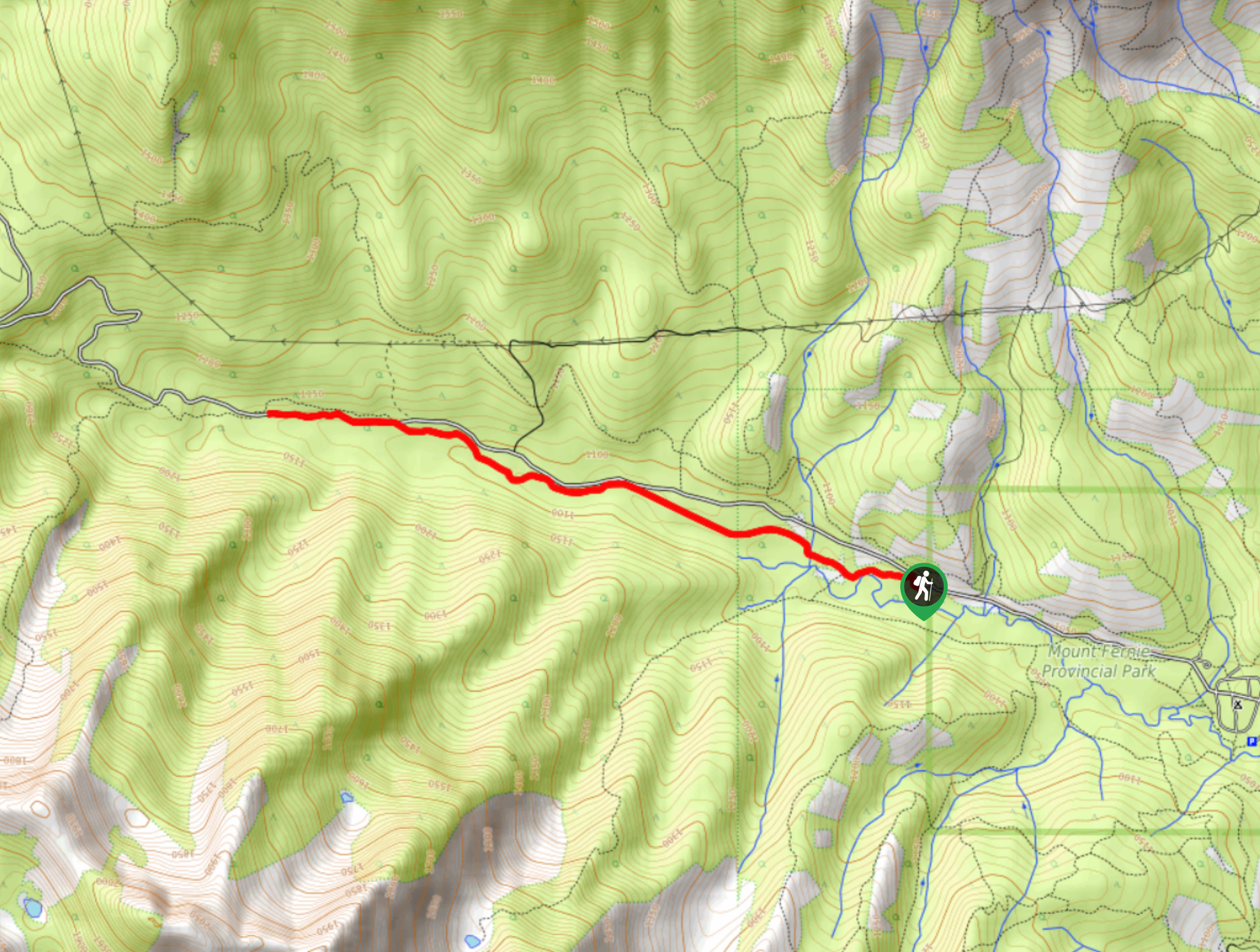
The Tamarack Trail is an 5.3mi out-and-back hiking route near Fernie, BC, that climbs steeply uphill to reach several scenic viewpoints overlooking the valley and Island Lake nestled within it. The route utilizes a series of switchbacks to alleviate some of the strain of climbing uphill; however, the trail is still physically demanding. Make sure to wear proper hiking footwear and bring plenty of water for this hike.
Getting there
To get to the parking area near the Tamarack Trail from Fernie, drive for 1.5mi to the south on BC-3 and turn right on Mount Fernie Park Road. Keep straight for 5.8mi, where you will soon find the trailhead and the parking area next to the Island Lake Lodge.

About
| When to do | June–October |
| Backcountry Campsites | No |
| Pets allowed | Yes |
| Family friendly | No |
| Route Signage | Average |
| Crowd Levels | Moderate |
| Route Type | Out and back |
Tamarack Trail
Elevation Graph
Weather
Tamarack Trail Description
Hiking the Tamarack Trail is a challenging but rewarding experience that will see you traverse a series of steep switchbacks to eventually receive some unbelievable views over the alpine landscape. Hikers should make sure to check for any trail closures before setting out for their hike, as moose and bear activity in the area can restrict access to the trailhead.
The route climbs uphill through a beautiful stretch of forest for most of the hike before breaking out into the subalpine terrain for some breathtaking views that stretch across the valley. When you reach the top of the ridge, head left to visit the Tamarack Viewpoint for a great sightline that goes across the waters of Island Lake and the lodge below to the rugged spine-like rock formation of the Lizard Range across the Valley. After taking in the views, break out the hiking poles to save your knees on the steep descent back down to the lodge.
Similar hikes to the Tamarack Trail hike
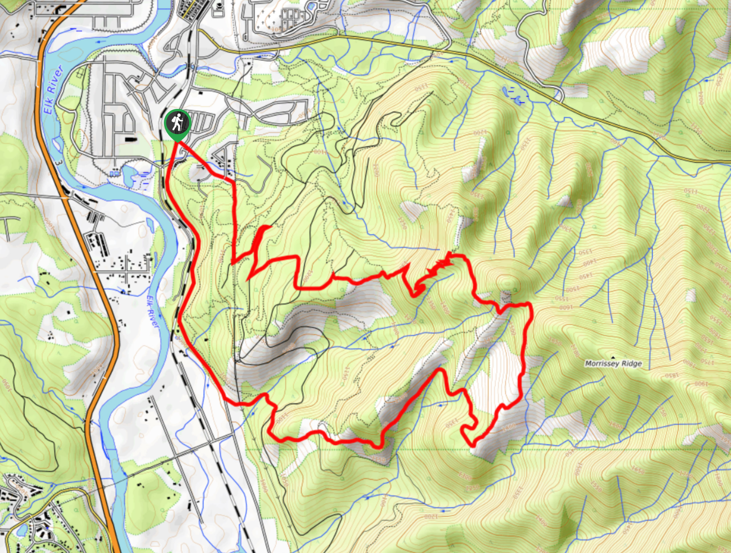
Fernie Rail Trail
The Fernie Rail Trail is a 4.3mi out-and-back hiking trail found just west of Mount Fernie Provincial Park…
New South Castle Trail
The New South Castle Trail is a 8.2mi hiking route in Fernie that loops through a dense network…
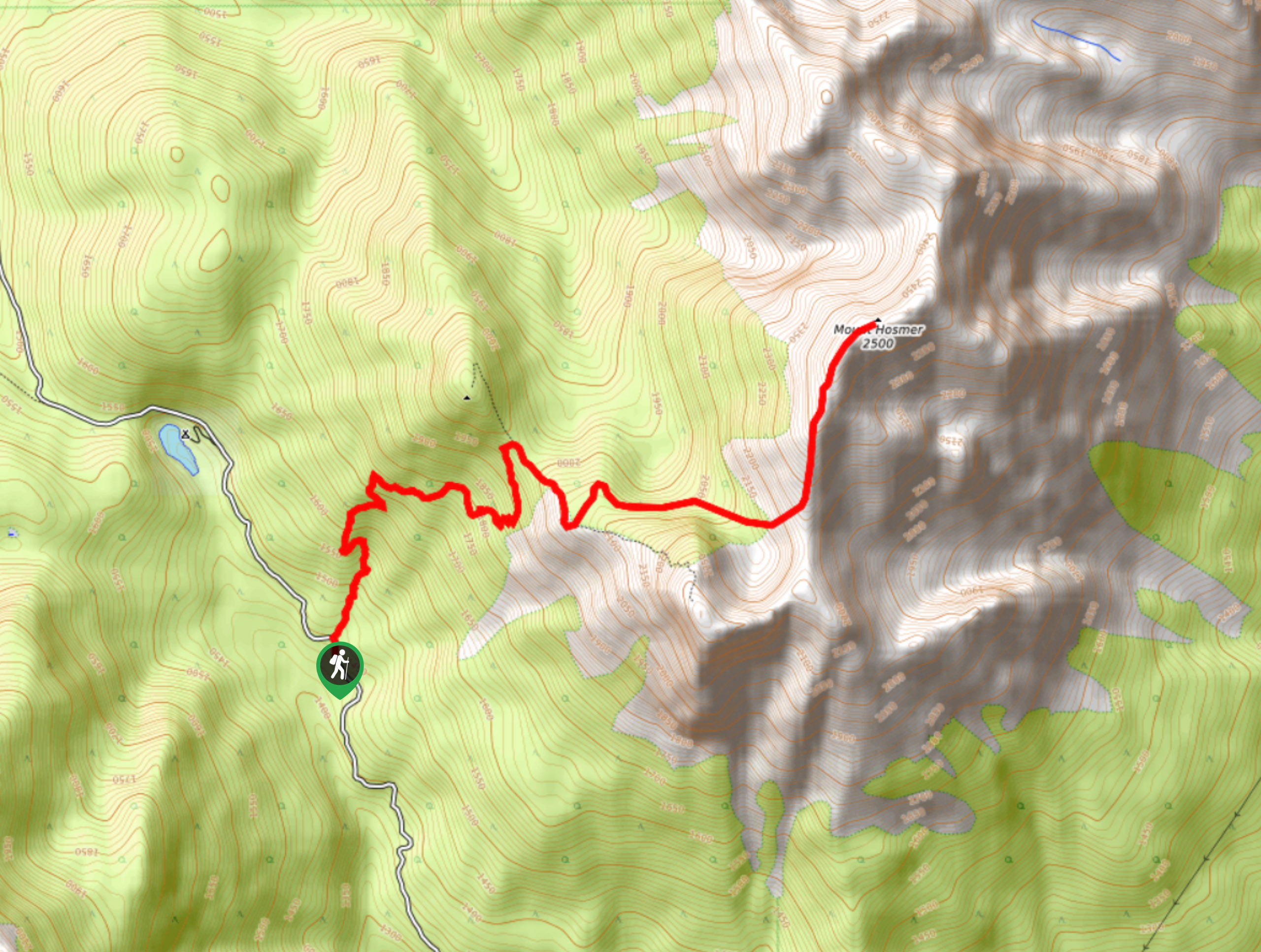
Mount Hosmer Trail
The Mount Hosmer Trail is a 6.5mi out-and-back hiking route near Fernie that will both challenge your resolve…
Comments