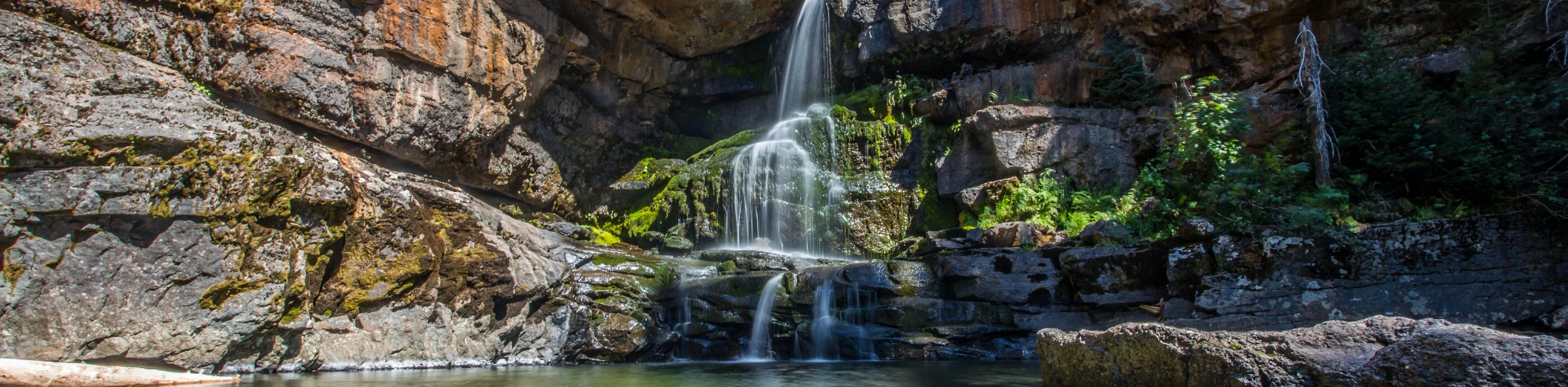
Matheson Falls
View Photos
Matheson Falls
Difficulty Rating:
The hike to Matheson Falls is a 0.8mi out-and-back hiking route that will take you along a short, forested path to reach a beautiful cascading waterfall that flows into a small pool of water below. While the trail is short, it does feature some elevation changes and requires a small amount of climbing, meaning that this route will not be accessible for all hikers. The trailhead is located on private property, so treat the area with respect for the owners that allow the public to access the beautiful waterfall.
Getting there
To reach the parking area for Matheson Falls from Fernie, head southeast on 4 Street for 1969ft and turn right on Pine Avenue. After 1312ft, turn left on Coal Creek Road and continue straight for 5.7mi, where you will find parking on the left side of the road and the trailhead on the right.

About
| When to do | April–November |
| Backcountry Campsites | No |
| Pets allowed | No |
| Family friendly | Yes |
| Route Signage | Average |
| Crowd Levels | Moderate |
| Route Type | Out and back |
Matheson Falls
Elevation Graph
Weather
Matheson Falls Trail Description
Hiking along the Matheson Falls trail is a short but fun half-day hike near Fernie that will take you through the beautiful forests of this area to the cascading water of the falls. There are some areas along the route that will involve brief moments of climbing, including a portion that utilizes a short ladder. Make sure that you can traverse such terrain before heading out on this hike. While out on the trail, you will experience the peaceful forest setting as you hike alongside a small creek and eventually make your way to the falls. Explore the area to find the best vantage point overlooking the cascading water of Matheson Falls and the picturesque pool below it. After you’ve had your fill of this charming setting, head back down the trail to return to your vehicle.
Similar hikes to the Matheson Falls hike
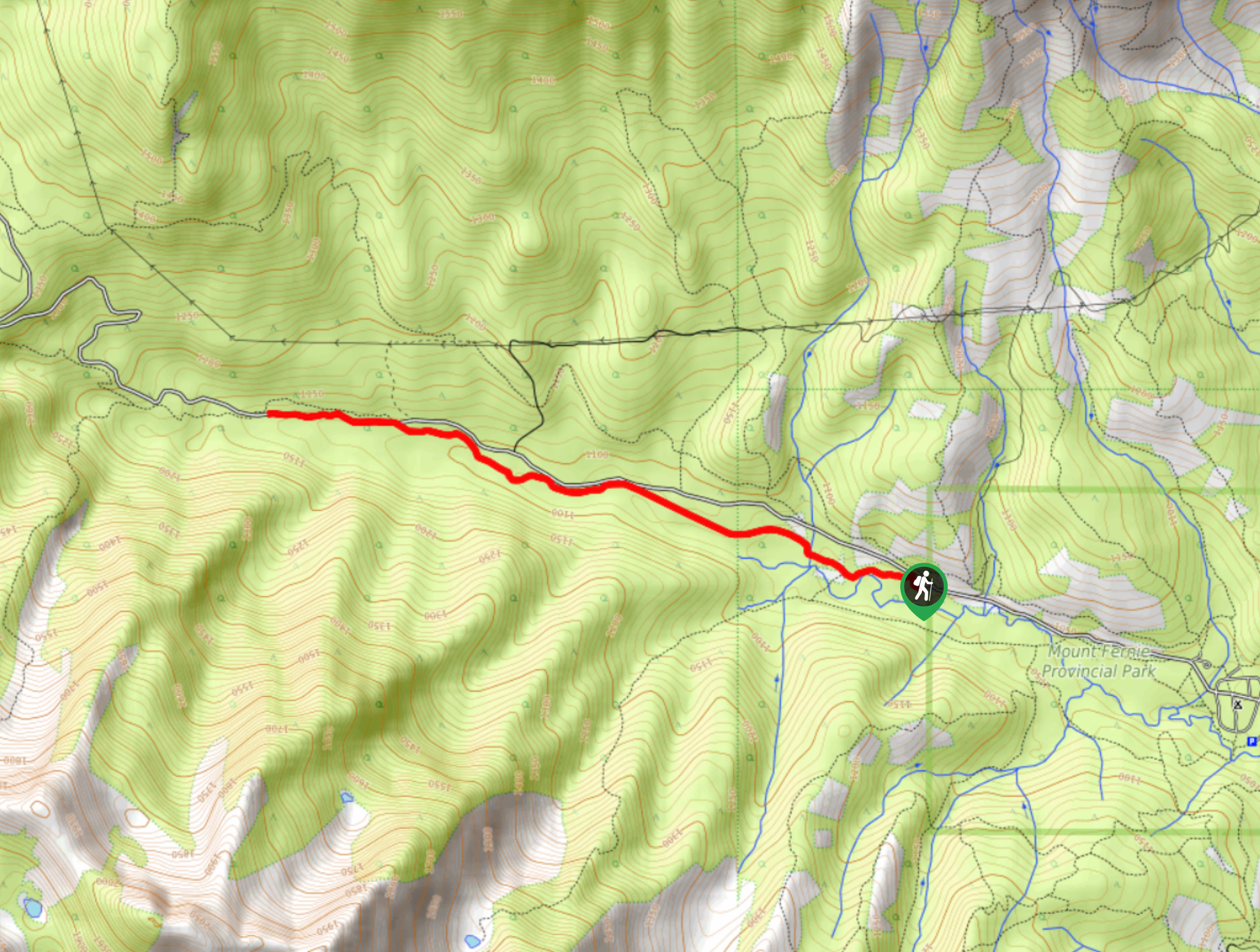
Fernie Rail Trail
The Fernie Rail Trail is a 4.3mi out-and-back hiking trail found just west of Mount Fernie Provincial Park…
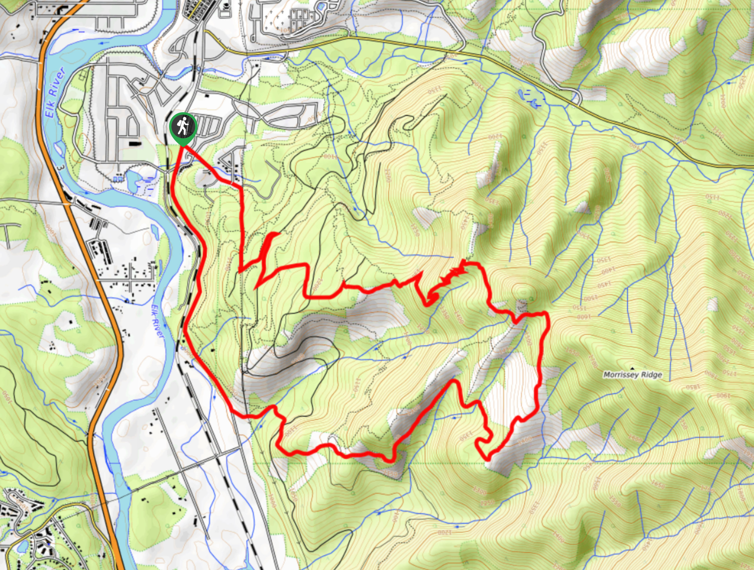
New South Castle Trail
The New South Castle Trail is a 8.2mi hiking route in Fernie that loops through a dense network…
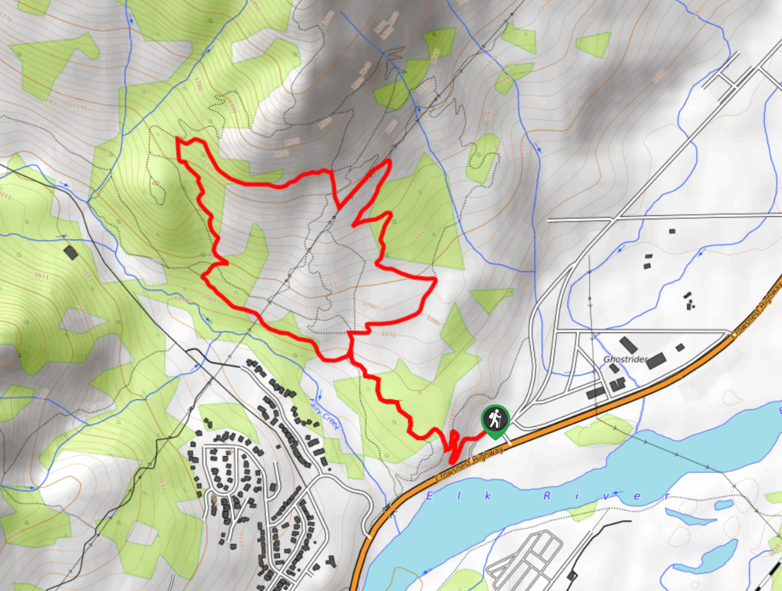
Mad Cow and Swine Flu Loop
The Mad Cow and Swine Flu Loop is a combination of multi-use trails in Fernie that create a scenic loop…
Comments