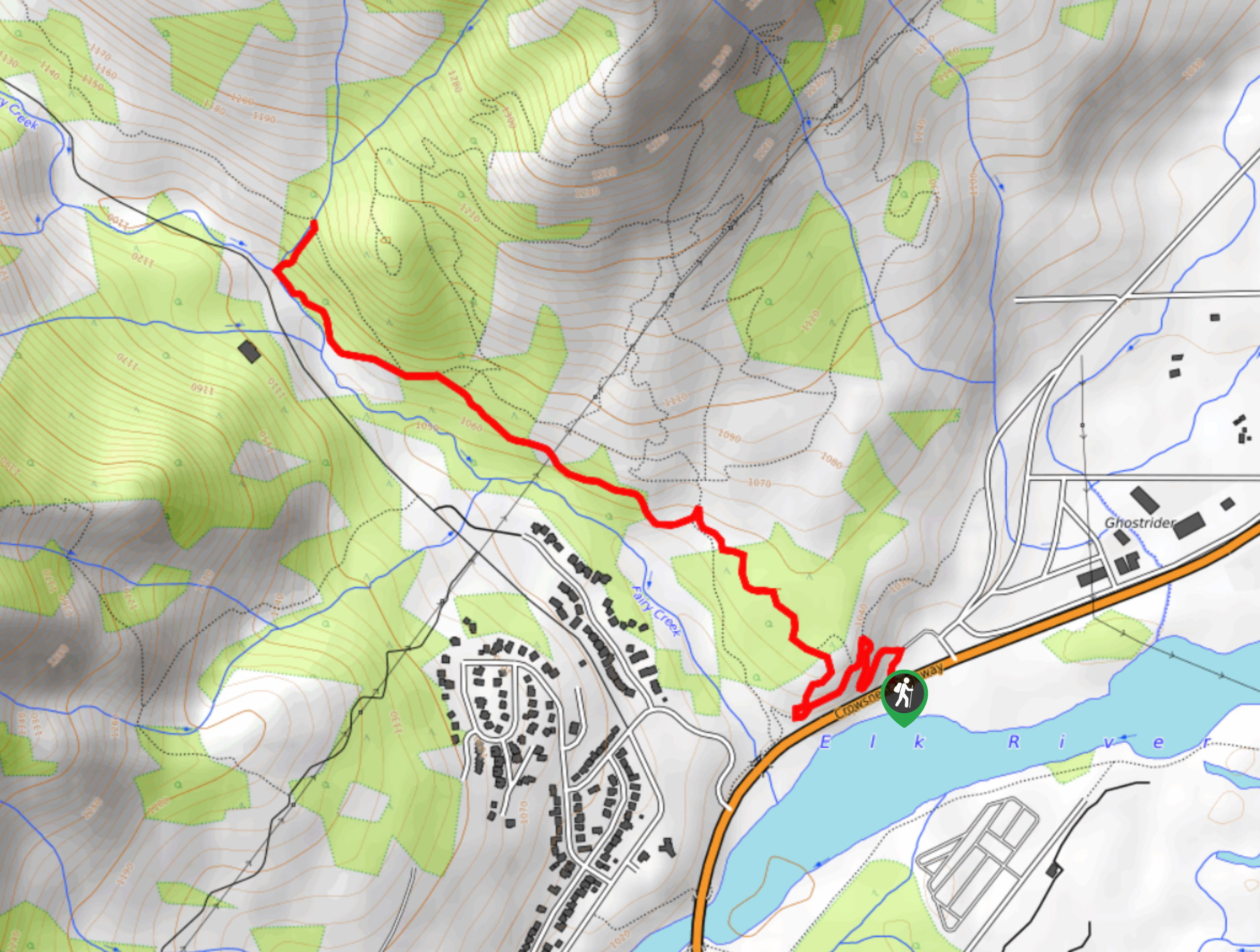
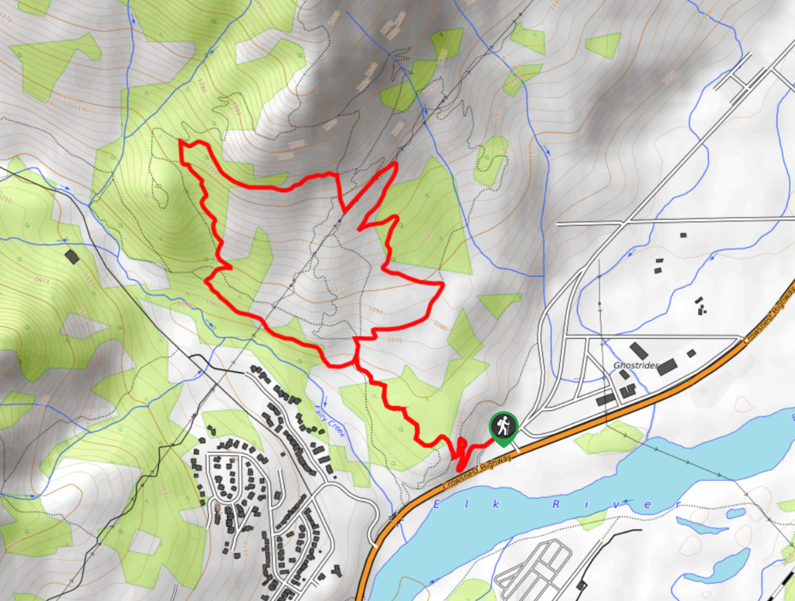
Fairy Creek Waterfall Trail
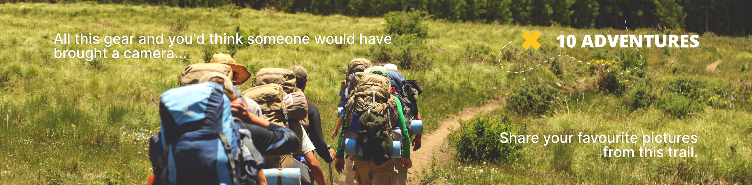
View Photos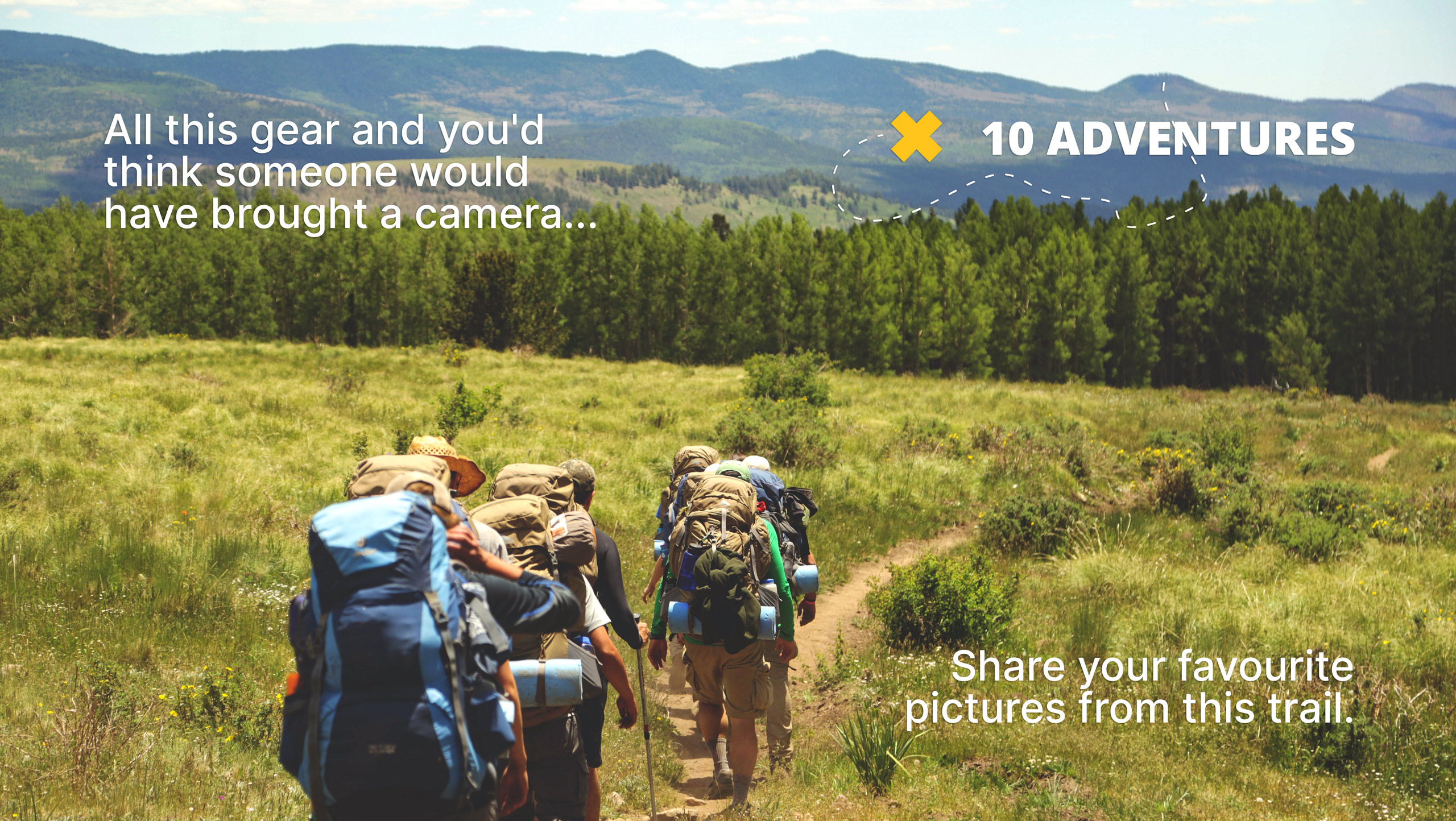
Fairy Creek Waterfall Trail
Difficulty Rating:
The Fairy Creek Waterfall Trail is a 2.8mi out-and-back hiking route that will take you through the forest to visit the cascading waterfall. While there are some minor elevation changes, the route is family-friendly and can be enjoyed by hikers of most skill levels. Time this hike for the spring when water levels are at their highest.
Getting there
To get to the parking area for the Fairy Creek Waterfall Trail from Fernie, drive north on BC-3 for 0.9mi and make a left turn at the Fernie Tourist Information Centre to enter the parking area.

About
| When to do | May–November |
| Backcountry Campsites | No |
| Pets allowed | Yes |
| Family friendly | Yes |
| Route Signage | Average |
| Crowd Levels | Moderate |
| Route Type | Out and back |
Fairy Creek Waterfall Trail
Elevation Graph
Weather
Fairy Creek Waterfall Trail Description
The hike up to the Fairy Creek Waterfall is an easy half-day hike that the whole family can enjoy. The route follows along some easy terrain through the forest and climbs gently uphill alongside the flowing waters of Fairy Creek. Once you reach the falls, you will have an awesome view of the water as it cascades over the edge of the rock. Make sure to take some time to explore the area around the falls to get a view from above and below the rushing water. If you can time your hike after the snow melts in the spring, you will have an even greater show of natural beauty, as the rushing water of the falls will be even more prominent. After experiencing the falls, head back down the same trail through the forest to return to your vehicle.
Similar hikes to the Fairy Creek Waterfall Trail hike
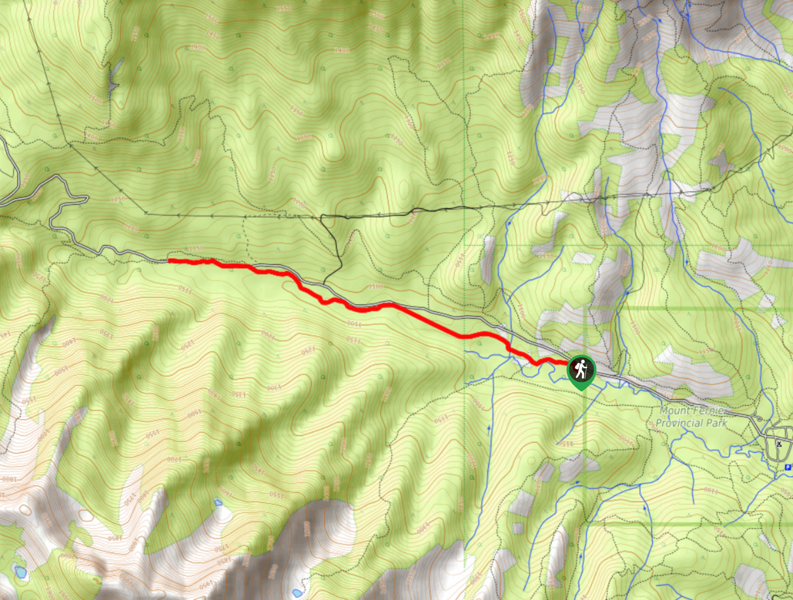
Fernie Rail Trail
The Fernie Rail Trail is a 4.3mi out-and-back hiking trail found just west of Mount Fernie Provincial Park…
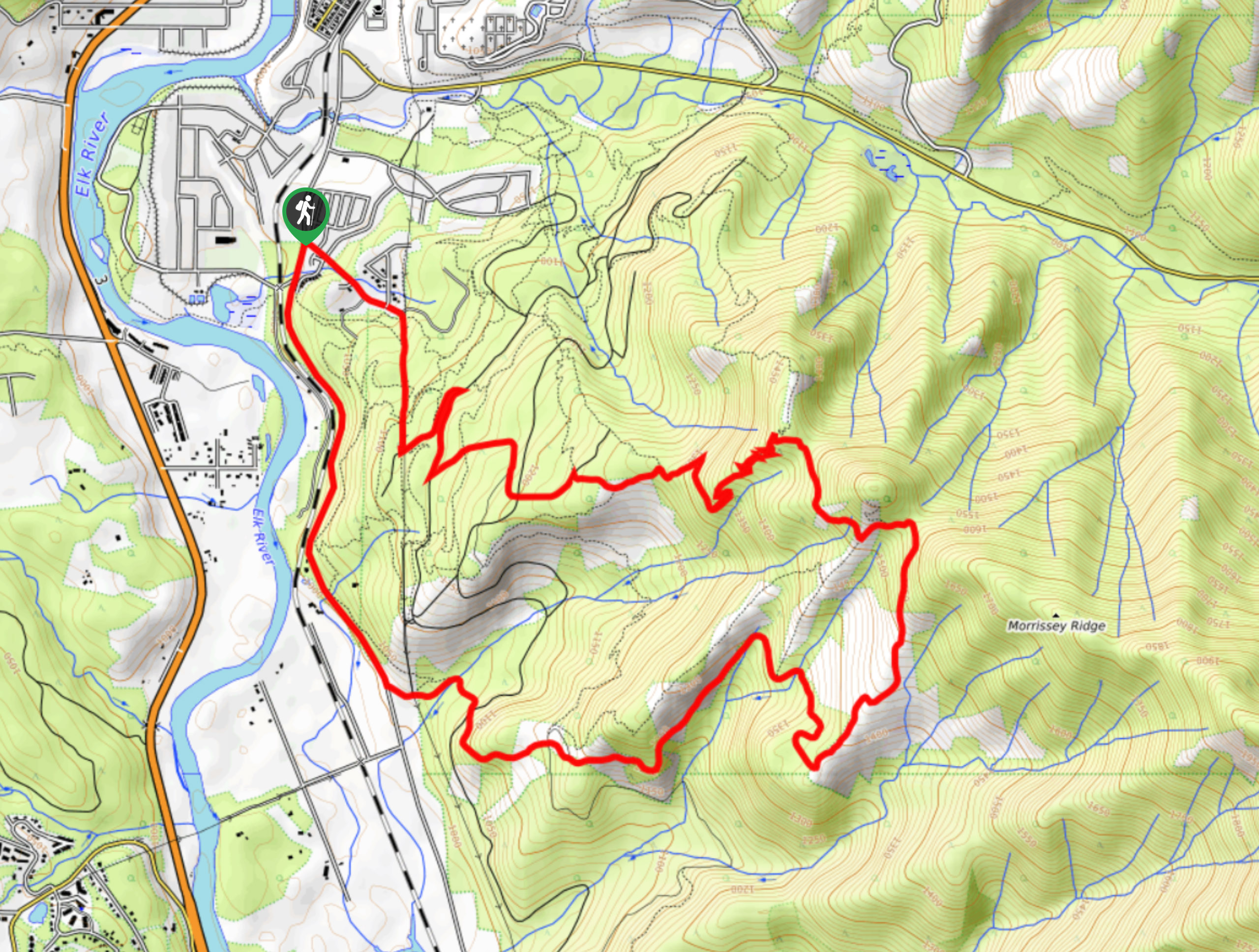
New South Castle Trail
The New South Castle Trail is a 8.2mi hiking route in Fernie that loops through a dense network…
Mad Cow and Swine Flu Loop
The Mad Cow and Swine Flu Loop is a combination of multi-use trails in Fernie that create a scenic loop…
Comments