
Lazy Lizard Trail
View Photos
Lazy Lizard Trail
Difficulty Rating:
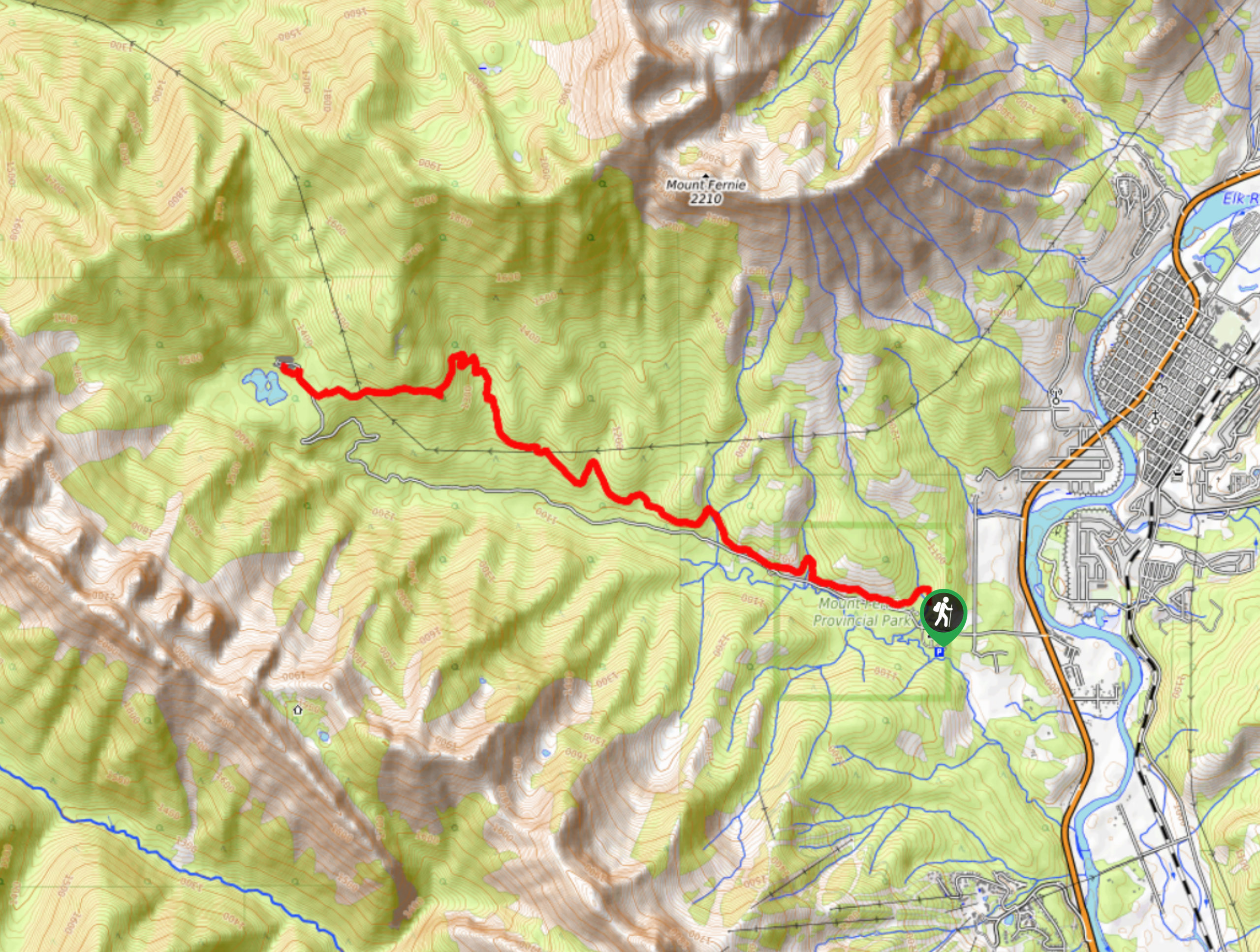
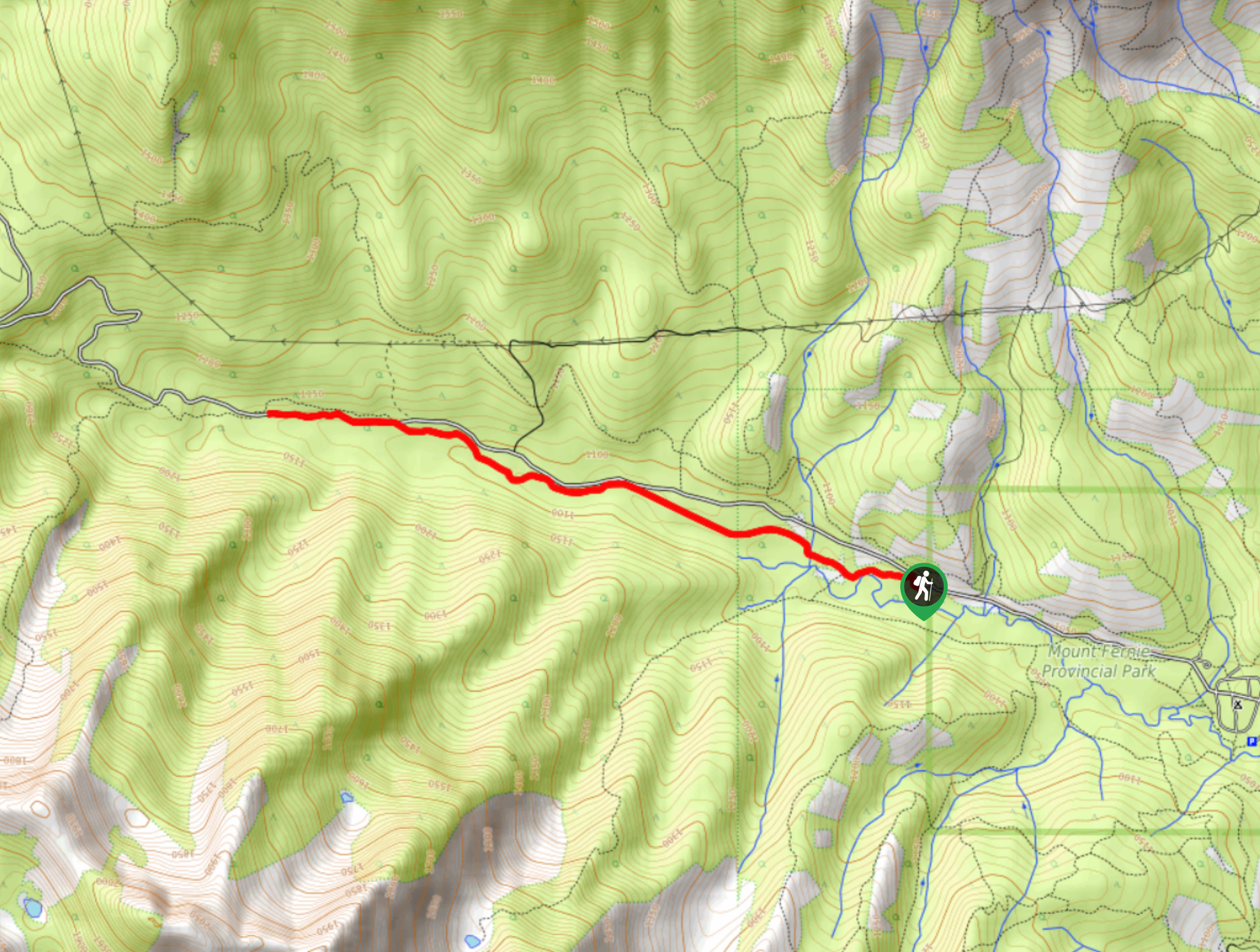
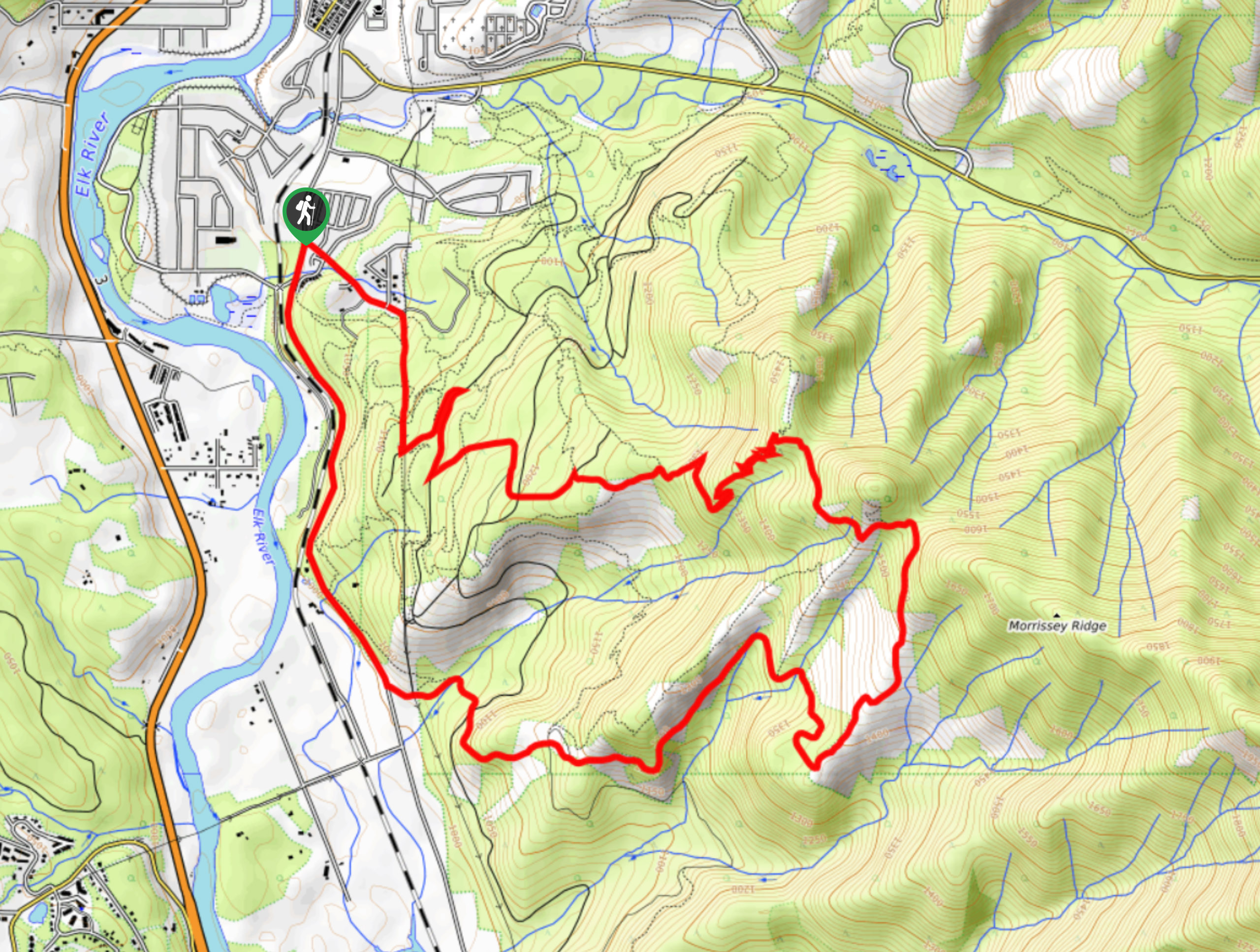
The Lazy Lizard Trail is a 10.5mi hiking route just outside of Fernie, BC, that will take you through a range of terrain, including beautiful cedar forests, bridged creek crossings, and a scenic subalpine valley. Along the trail, you will be able to take in beautiful mountain views that include the rugged Lizard Range and the majestic peak of nearby Mount Fernie. Make sure to check for closures as animal activity in the area often dictates trail use.
Getting there
To get to the parking area for the Lazy Lizard Trail from Fernie, head to the southwest on BC-3 for 1.5mi, making a right turn to get onto Mount Fernie Park Road. Continue for 5.8mi, and you will reach the parking area.

About
| When to do | May-November |
| Backcountry Campsites | Mount Fernie Campground |
| Pets allowed | Yes |
| Family friendly | Older Children only |
| Route Signage | Average |
| Crowd Levels | Moderate |
| Route Type | Out and back |
Lazy Lizard Trail
Elevation Graph
Weather
Lazy Lizard Trail Description
Hiking along the Lazy Lizard Trail is a fantastic day trip in the Fernie area that will allow you to experience some of the region’s best terrain and scenic views. While the trail may be a bit busy during peak times, it’s with good reason as the beautiful landscape, and easy-to-navigate trails are accessible to both casual and experienced hikers alike. You should take note that this trail is often closed due to bear and moose activity in the area, so make sure to check for any closures in advance of your trip.
This route is an awesome out-and-back hike that will see you work your way through the beautiful forests within the subalpine valley and cross over several streams, all while surrounded by mountain views. The trail features some moderate elevation changes, but these are more than manageable for the average hiker and keep the terrain fun and interesting without being too complicated. You will pass by countless cedar trees along the route as you work your way down to Mount Fernie Provincial Park before heading back along the same trail to return to the picturesque alpine bowl at the trailhead.
Similar hikes to the Lazy Lizard Trail hike
Fernie Rail Trail
The Fernie Rail Trail is a 4.3mi out-and-back hiking trail found just west of Mount Fernie Provincial Park…
New South Castle Trail
The New South Castle Trail is a 8.2mi hiking route in Fernie that loops through a dense network…
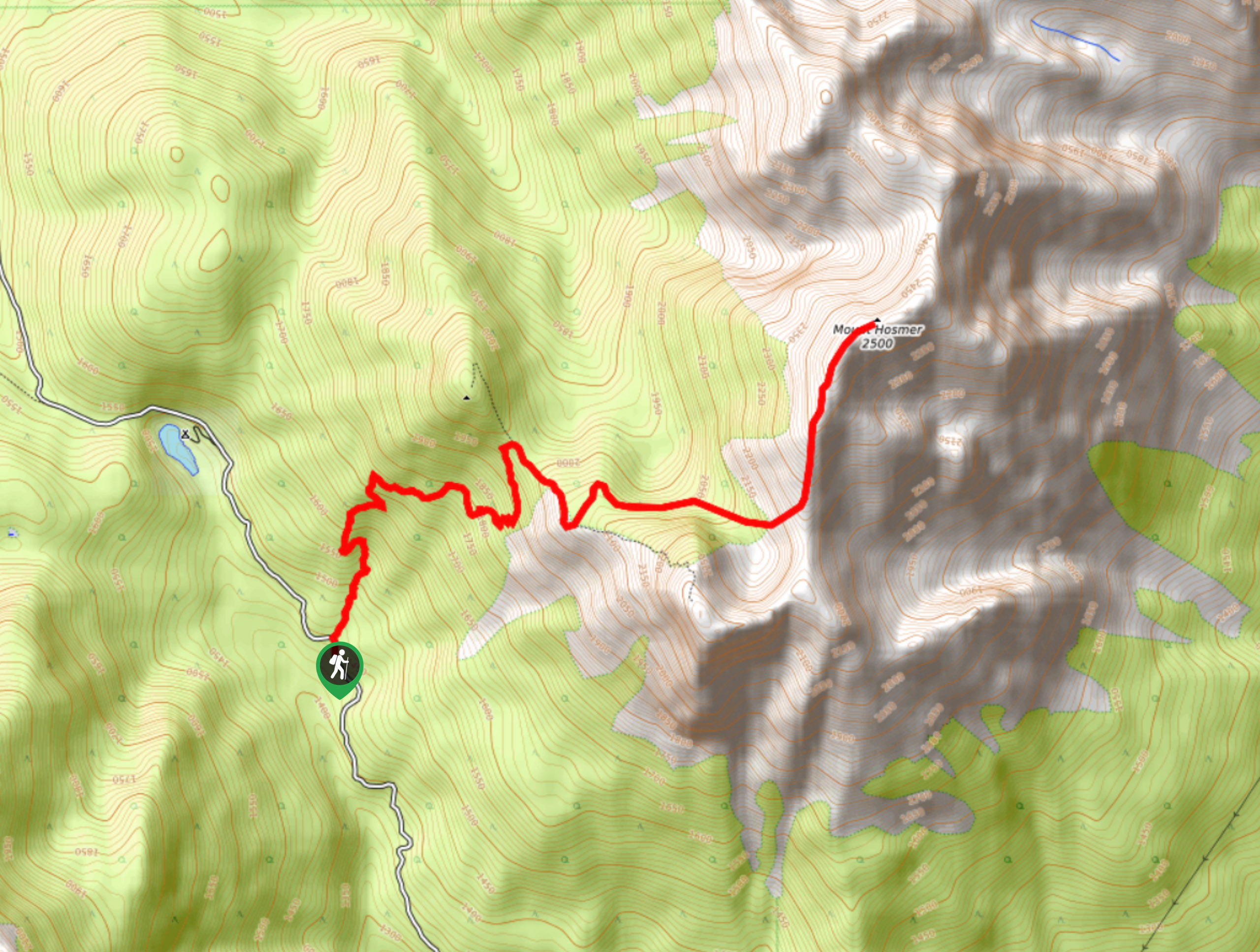
Mount Hosmer Trail
The Mount Hosmer Trail is a 6.5mi out-and-back hiking route near Fernie that will both challenge your resolve…
Comments