
Mount Hosmer Trail
View Photos
Mount Hosmer Trail
Difficulty Rating:
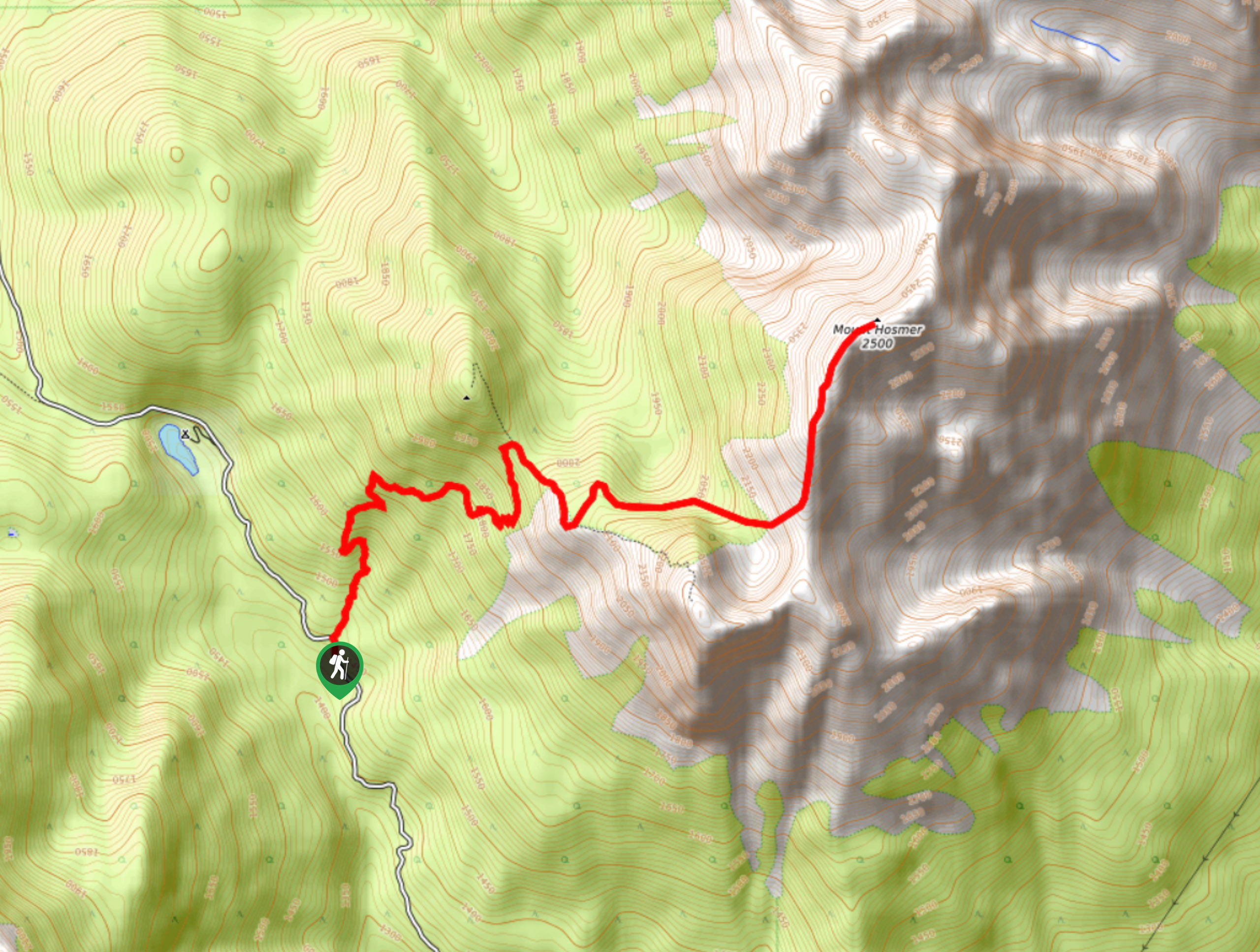
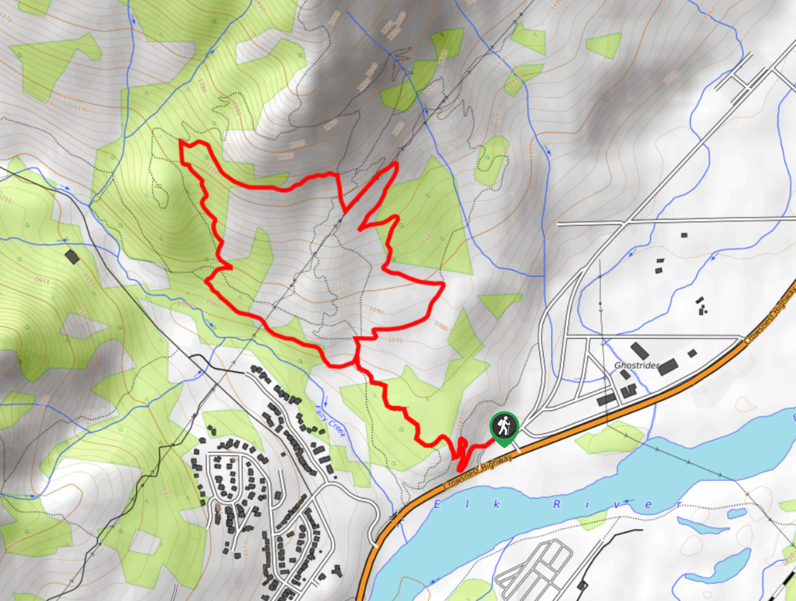
The Mount Hosmer Trail is a 6.5mi out-and-back hiking route near Fernie that will both challenge your resolve and reward it with spectacular views overlooking Elk Valley and the surrounding mountain peaks. The trail climbs steeply uphill and does not offer much in terms of flat terrain to catch your breath; however, it is manageable for experienced and casual hikers who take their time. Bring bear spray and travel in groups as grizzly bears are known to frequent the area.
Getting there
To get to the trailhead for the Mount Hosmer Trail from Fernie, make your way northeast on BC-3 for 4.0mi and turn left onto Dicken Road. After 1969ft, make a right onto Hartley Lake Road, and you will find the parking area and the trailhead in 4.3mi.

About
| When to do | June–October |
| Backcountry Campsites | No |
| Pets allowed | No |
| Family friendly | No |
| Route Signage | Average |
| Crowd Levels | Moderate |
| Route Type | Out and back |
Mount Hosmer Trail
Elevation Graph
Weather
Mount Hosmer Trail Description
Although steep and challenging, the trek up Mount Hosmer is an incredible hike made up of non-technical terrain and can be completed by most hikers with the fitness and determination to reach the summit. Hiking boots and poles are recommended for this hike due to the steep nature of the route, and hikers should bring plenty of water as there are no sources along the trail. Additionally, this area is a frequent location for grizzly bear encounters, so remember to make lots of noise, travel in groups, and bring bear spray when out on the trail.
The route up to the summit of Mount Hosmer initially climbs uphill through the dense forest along its lower slopes before transitioning into the alpine on a route that traverses several false summits. There is minimal flat terrain, so you will need to know when to stop along the trail to give yourself a break and build up energy. Reaching the summit, you will be greeted by a fantastic sightline that stretches out across Elk Valley to the east and provides views of the nearby Mount Proctor, Three Sisters, and Mount Bisaro to the southwest. After you’ve taken in the views, carefully head back down the steep trail to return to the trailhead.
Similar hikes to the Mount Hosmer Trail hike
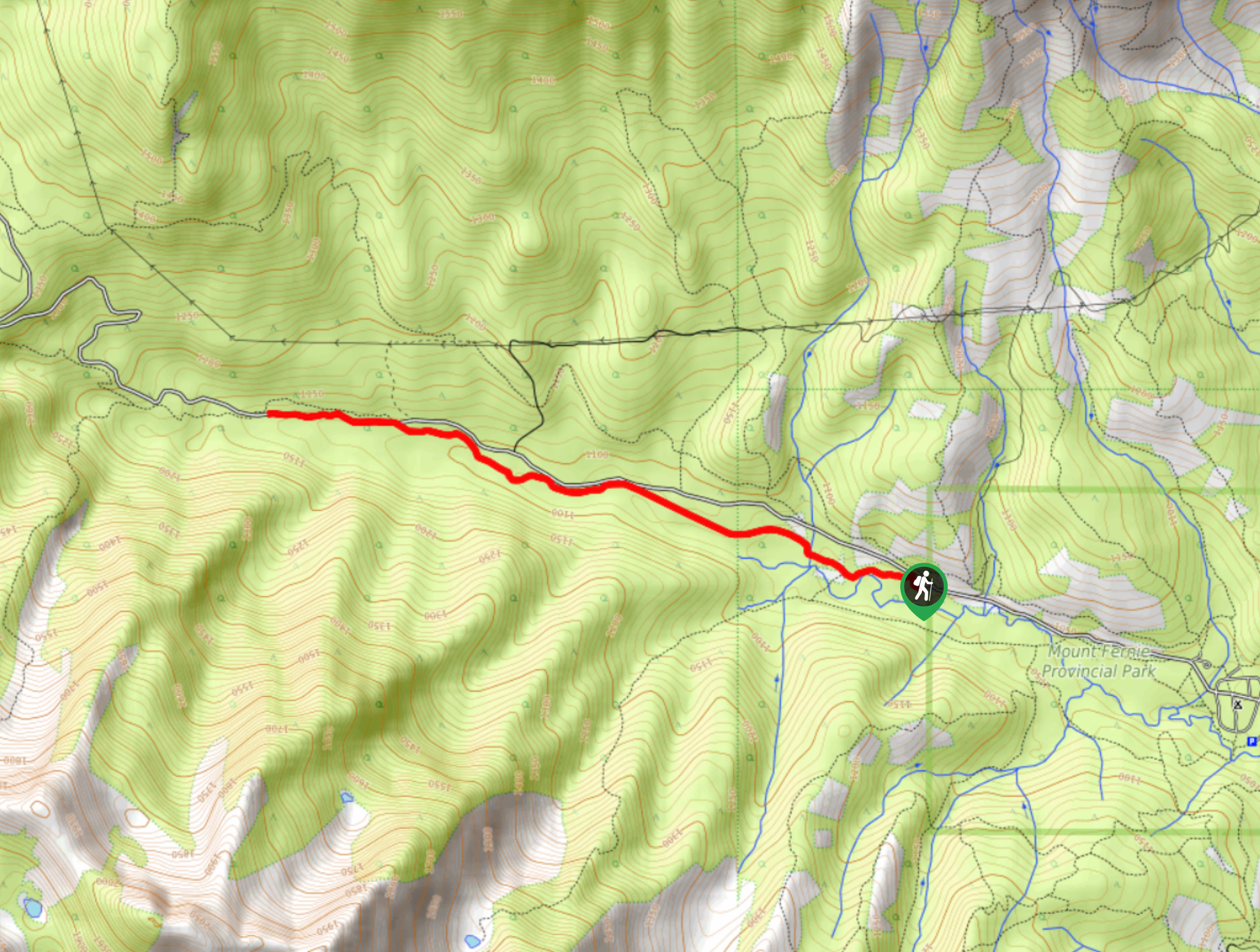
Fernie Rail Trail
The Fernie Rail Trail is a 4.3mi out-and-back hiking trail found just west of Mount Fernie Provincial Park…
New South Castle Trail
The New South Castle Trail is a 8.2mi hiking route in Fernie that loops through a dense network…
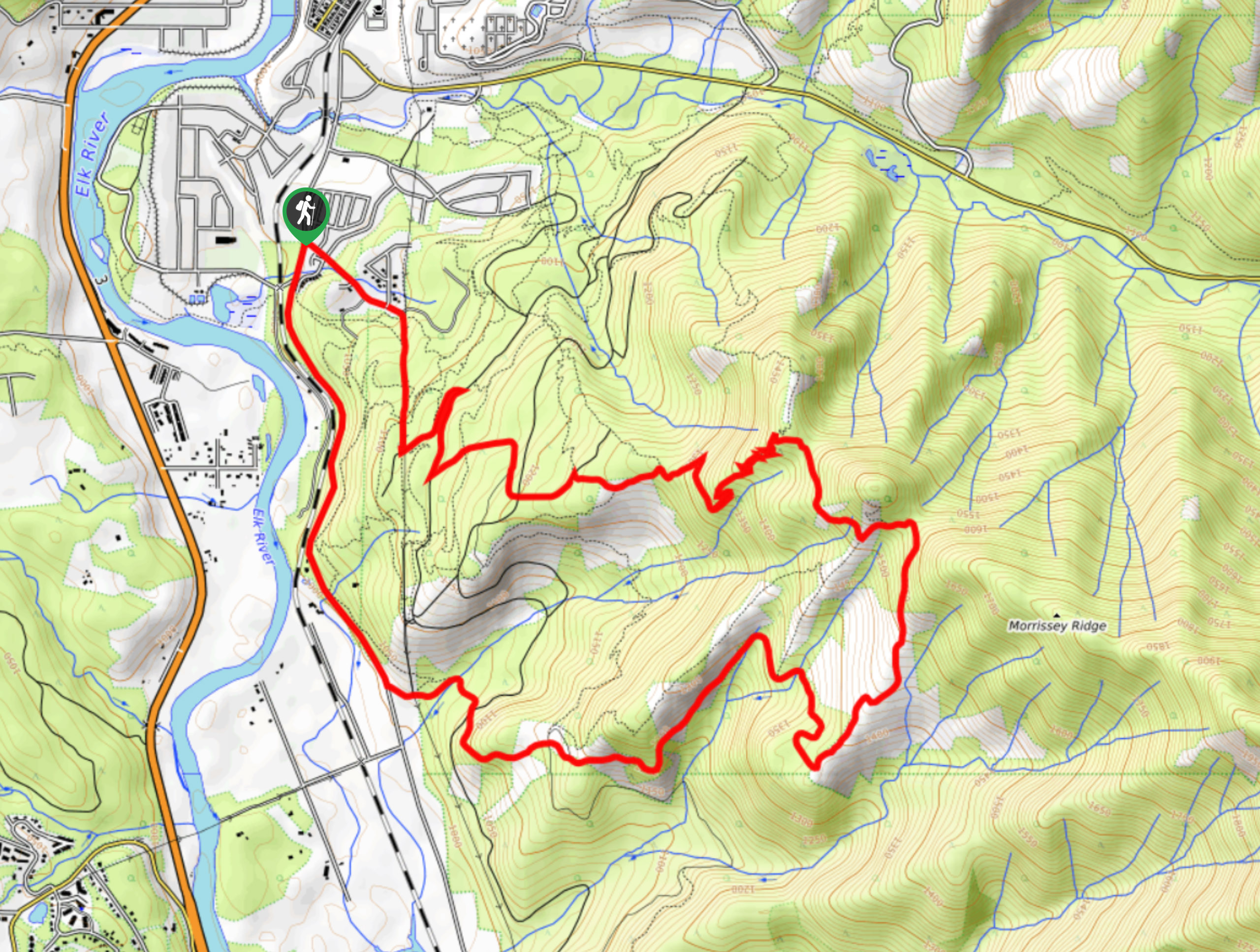
Mad Cow and Swine Flu Loop
The Mad Cow and Swine Flu Loop is a combination of multi-use trails in Fernie that create a scenic loop…
Comments