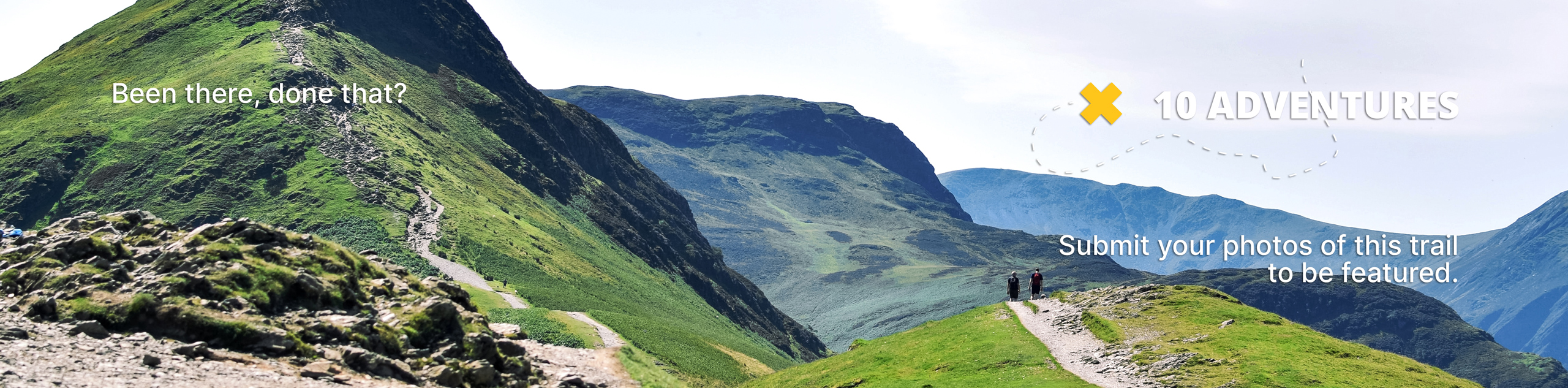
Montane Trail
View Photos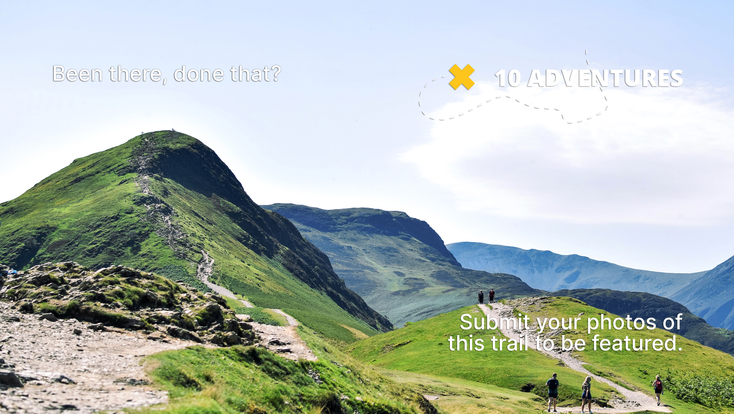
Montane Trail
Difficulty Rating:
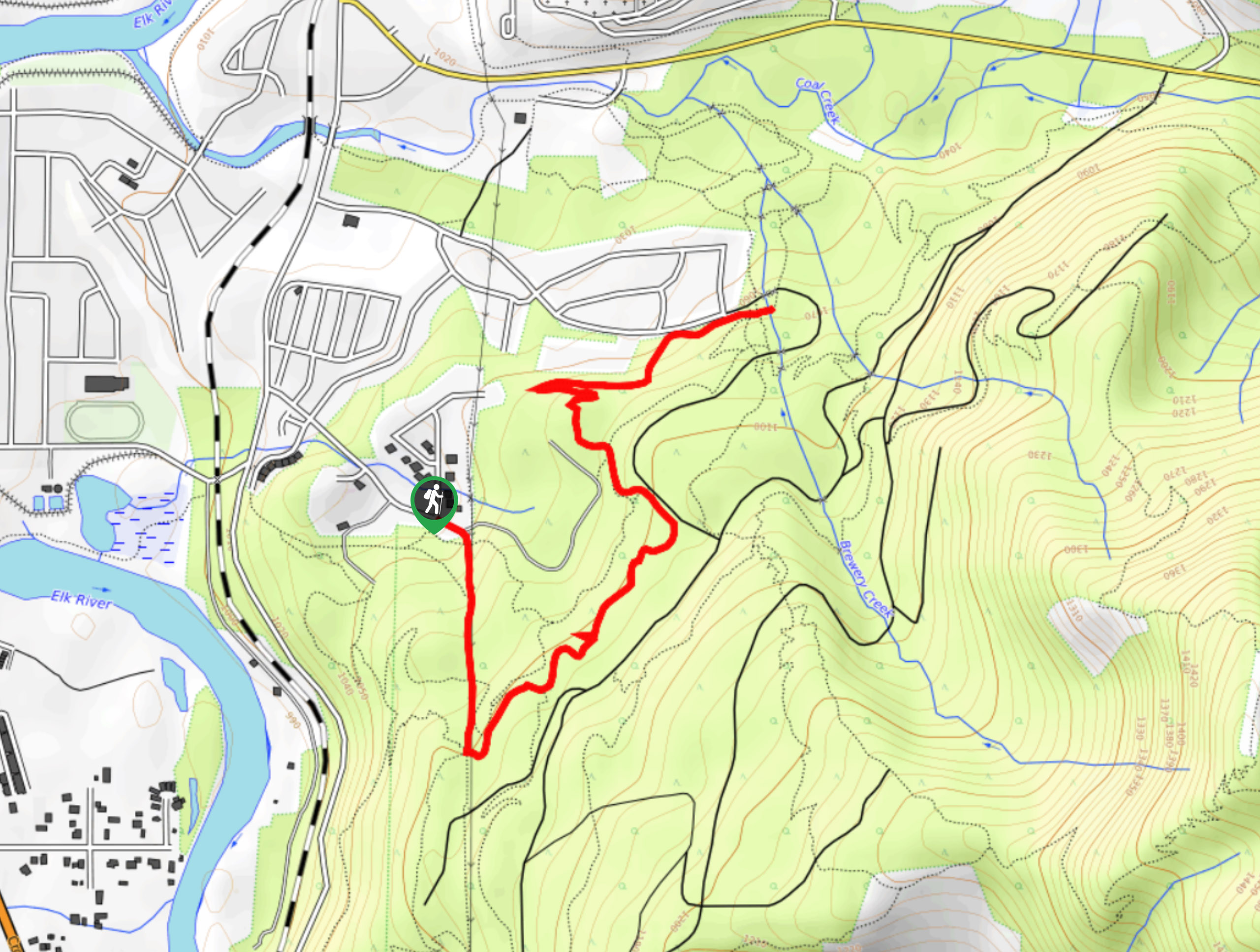
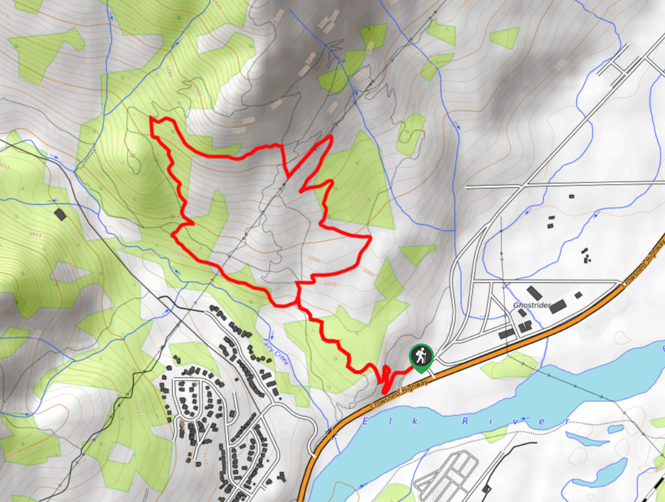
The Montane Trail is a 3.1mi out-and-back trail used for several outdoor activities, including hiking, mountain biking, and snowshoeing. The route traverses some easy terrain and doesn’t have much strenuous elevation gain, making it a great trail for hikers of all skill levels. You can expect to enjoy a peaceful forest atmosphere and views through the trees of the surrounding mountain peaks along the trail.
Getting there
To reach the Montane Trail trailhead from Fernie, drive to the southeast along 4 Street and make a right after 2133ft onto Pine Avenue. Continue straight for 0.8mi, making a left onto Castle Mountain Road, where you will find the trailhead at the end of the street in 1804ft.

About
| When to do | May–October |
| Backcountry Campsites | No |
| Pets allowed | Yes - On Leash |
| Family friendly | Yes |
| Route Signage | Poor |
| Crowd Levels | Moderate |
| Route Type | Out and back |
Montane Trail
Elevation Graph
Weather
Montane Trail Description
Due to its location in the Castle Mountain area, the Montane Trail is part of a dense network of multi-use trails that criss-cross the forested landscape. Because of this, navigation can be difficult, and it can be easy to lose your way on the many side trails that present themselves. If you are not familiar with the route, bring a map of the area or a GPS to stay on the correct path.
The trail itself winds through the forested hillside on a route that initially sets off in a southward direction before turning to the north on a course for Brewery Creek. Along the way, you will be able to relax as you stroll through the calm woodland atmosphere and take in the views of the Lizard Range and Mount Fernie across the valley. When you reach the flowing waters of the creek, turn back and retrace your steps to return to the trailhead.
Similar hikes to the Montane Trail hike
Fernie Rail Trail
The Fernie Rail Trail is a 4.3mi out-and-back hiking trail found just west of Mount Fernie Provincial Park…
New South Castle Trail
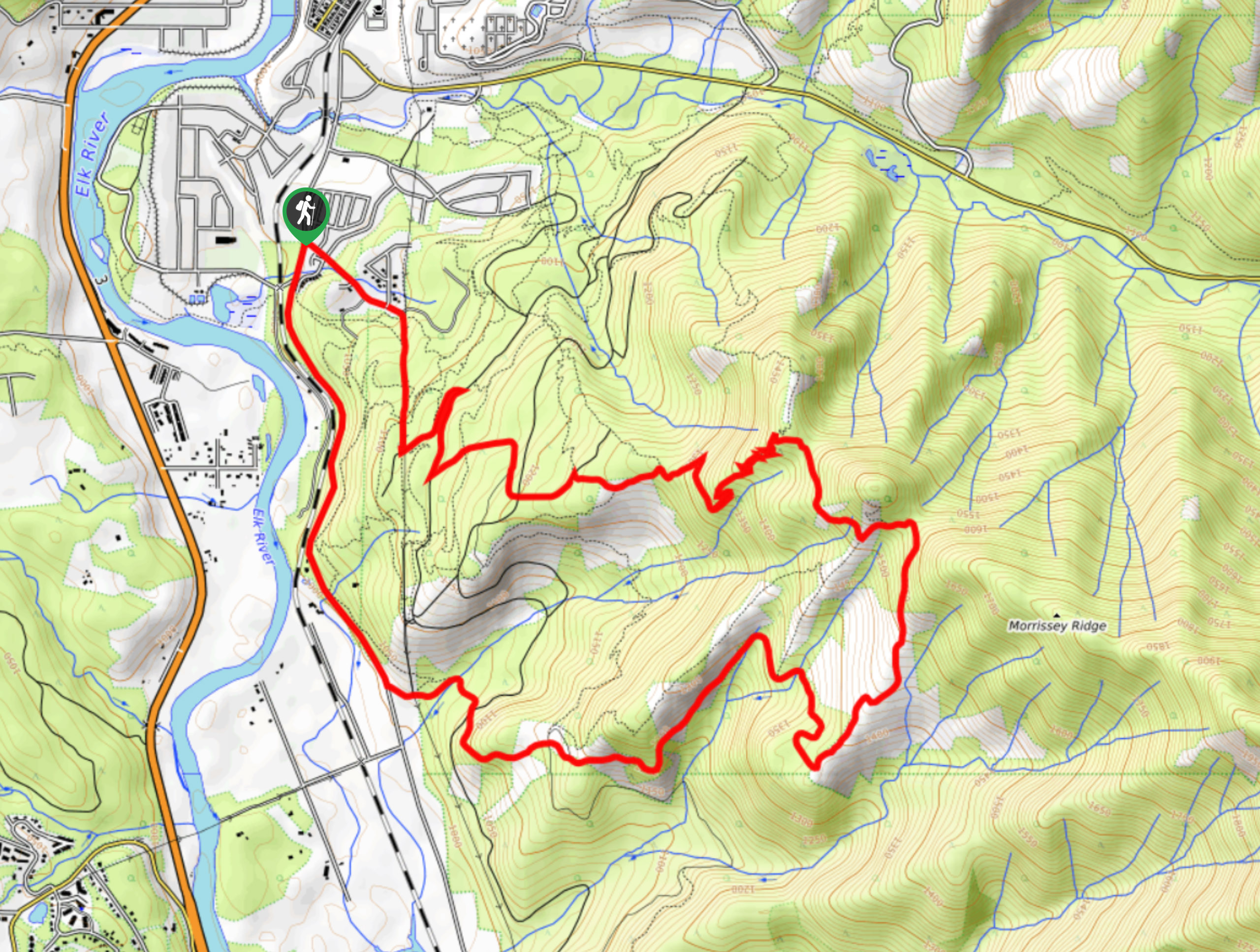
The New South Castle Trail is a 8.2mi hiking route in Fernie that loops through a dense network…
Mad Cow and Swine Flu Loop
The Mad Cow and Swine Flu Loop is a combination of multi-use trails in Fernie that create a scenic loop…
Comments