
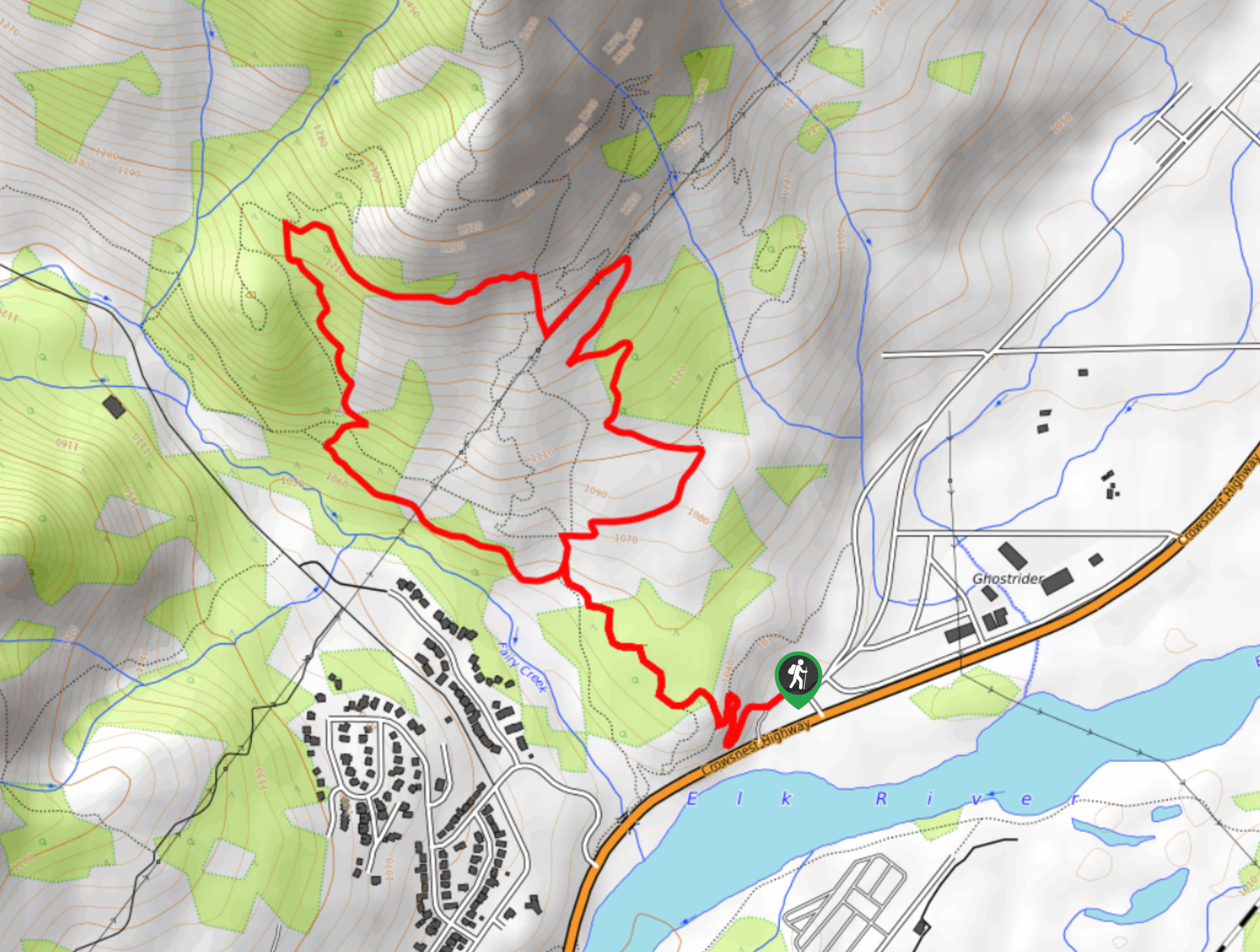
Mad Cow and Swine Flu Loop
View Photos
Mad Cow and Swine Flu Loop
Difficulty Rating:
The Mad Cow and Swine Flu Loop is a combination of multi-use trails in Fernie that create a scenic loop through the forest along the lower slopes of Mount Proctor. Along the trail, you will pass through some serene stretches of woodland terrain and experience beautiful views of the surrounding mountains before wrapping up the hike alongside the flowing waters of Fairy Creek. Make sure to bring bear spray as grizzly bears are often spotted in the area.
Getting there
To access the trailhead for the Mad Cow and Swine Flu Loop from Fernie, drive to the north along BC-3 for 0.9mi. Make a left turn at the Fernie Tourist Information Centre to enter the parking lot, where you will also find the trailhead.

About
| When to do | April–October |
| Backcountry Campsites | No |
| Pets allowed | No |
| Family friendly | Older Children only |
| Route Signage | Average |
| Crowd Levels | Moderate |
| Route Type | Lollipop |
Mad Cow and Swine Flu Loop
Elevation Graph
Weather
Mad Cow and Swine Flu Loop Description
A popular spot for both hiking and mountain biking, the Mad Cow and Swine Flu trails combine to form a 3.7mi loop through the forest that provides hikers with a peaceful respite from the business of their everyday lives. Hikers looking to utilize this trail should always bring bear spray, as grizzly bears are frequently spotted on the trail and have at times resulted in trail closures.
The trail climbs gently uphill along the lower slopes of Mount Proctor and navigates through a dense network of routes that wind through the area. Apart from the beautiful forest setting and the intermittent views of the surrounding mountains that include Mount Fernie and Mount Proctor, the trail also ends up following closely alongside the flowing waters of Fairy Creek as it passes through a lovely meadow. Although this trail has some minor elevation changes, it’s suitable for hikers of most skill levels and features fairly easy-to-navigate terrain.
Similar hikes to the Mad Cow and Swine Flu Loop hike
Fernie Rail Trail
The Fernie Rail Trail is a 4.3mi out-and-back hiking trail found just west of Mount Fernie Provincial Park…
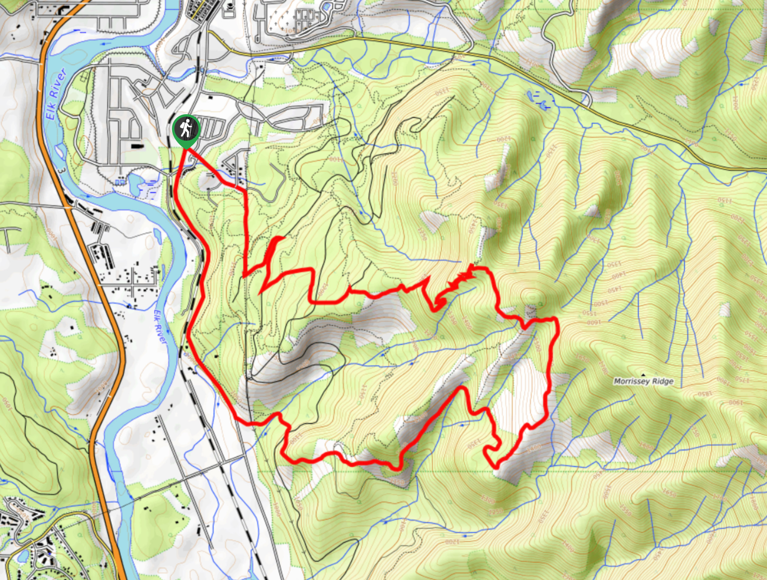
New South Castle Trail
The New South Castle Trail is a 8.2mi hiking route in Fernie that loops through a dense network…
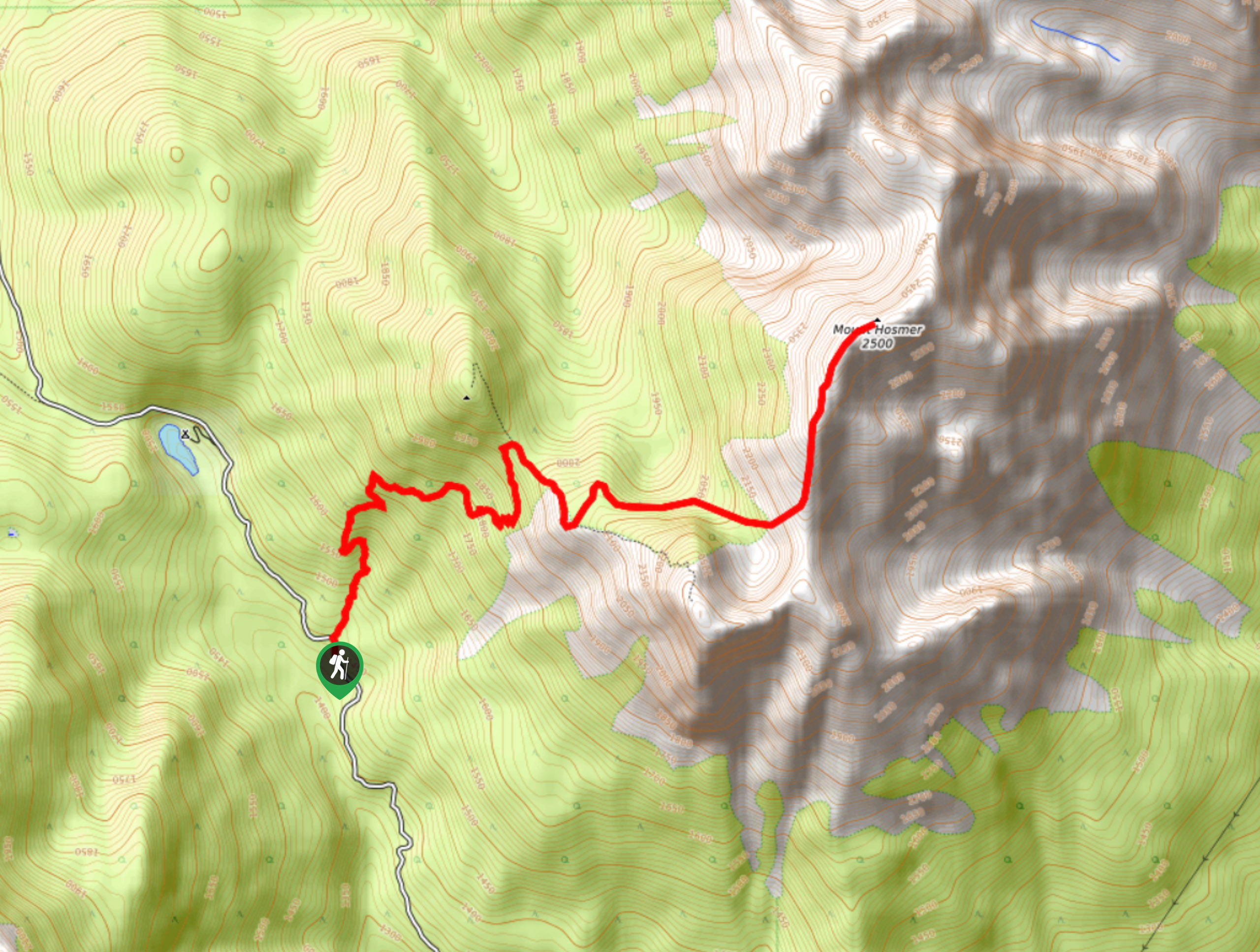
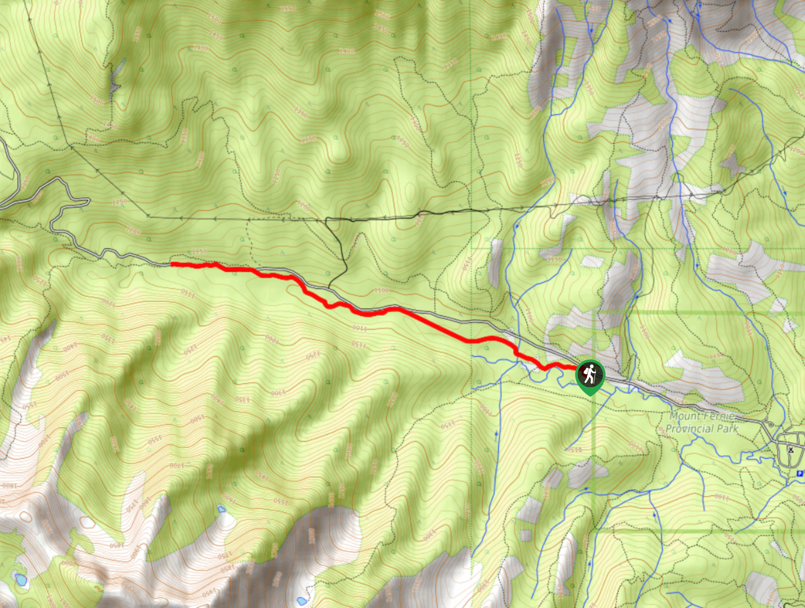
Mount Hosmer Trail
The Mount Hosmer Trail is a 6.5mi out-and-back hiking route near Fernie that will both challenge your resolve…
Comments