Fernie Rail Trail
View Photos
Fernie Rail Trail
Difficulty Rating:
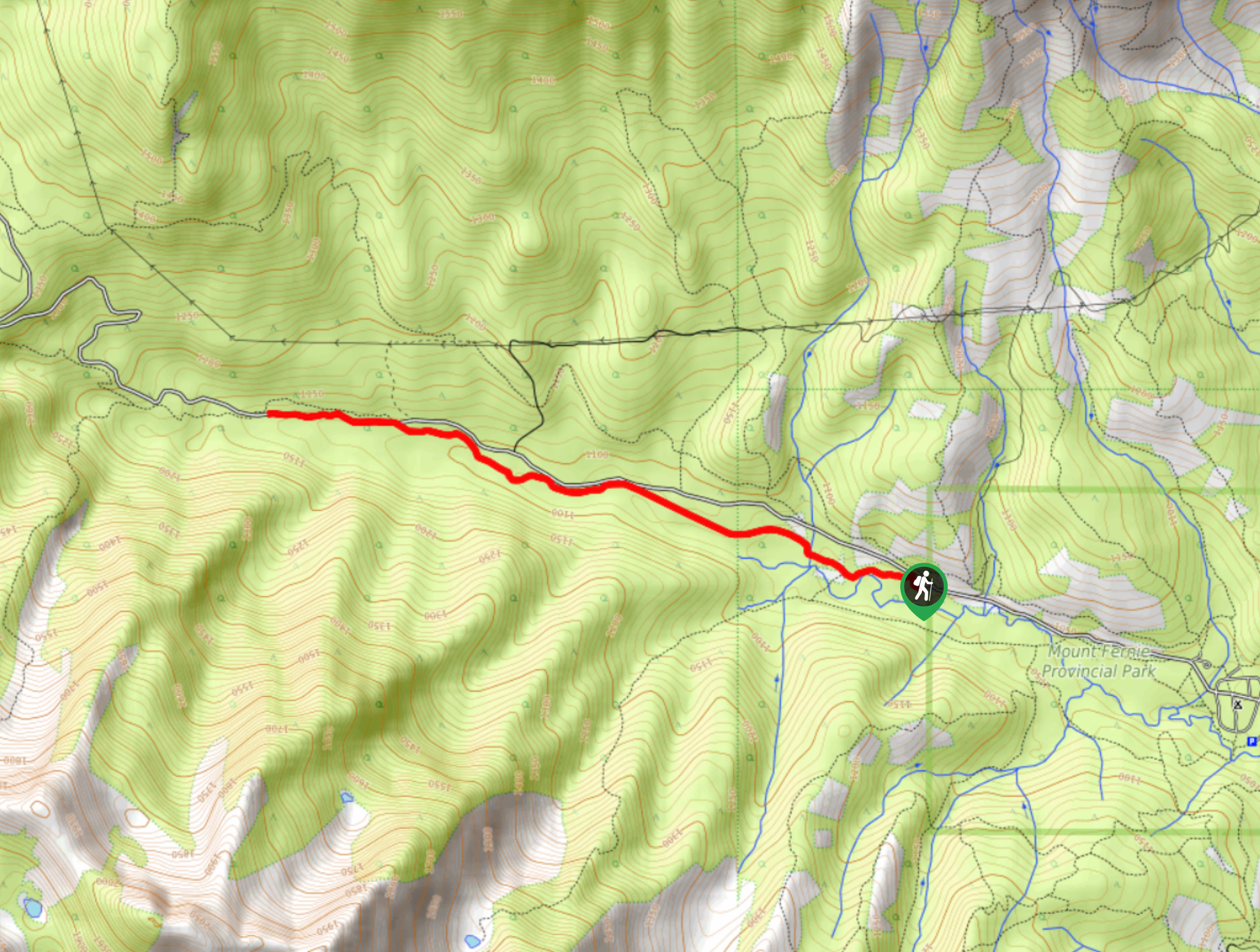
The Fernie Rail Trail is a 4.3mi out-and-back hiking trail found just west of Mount Fernie Provincial Park and offers the opportunity to hike through a beautiful stretch of old-growth forest. The trail runs parallel to Mount Fernie Park Road and is a beautiful forest setting with intermittent views of the surrounding mountain peaks. Make sure to check for any trail closures before setting out for your hike.
Getting there
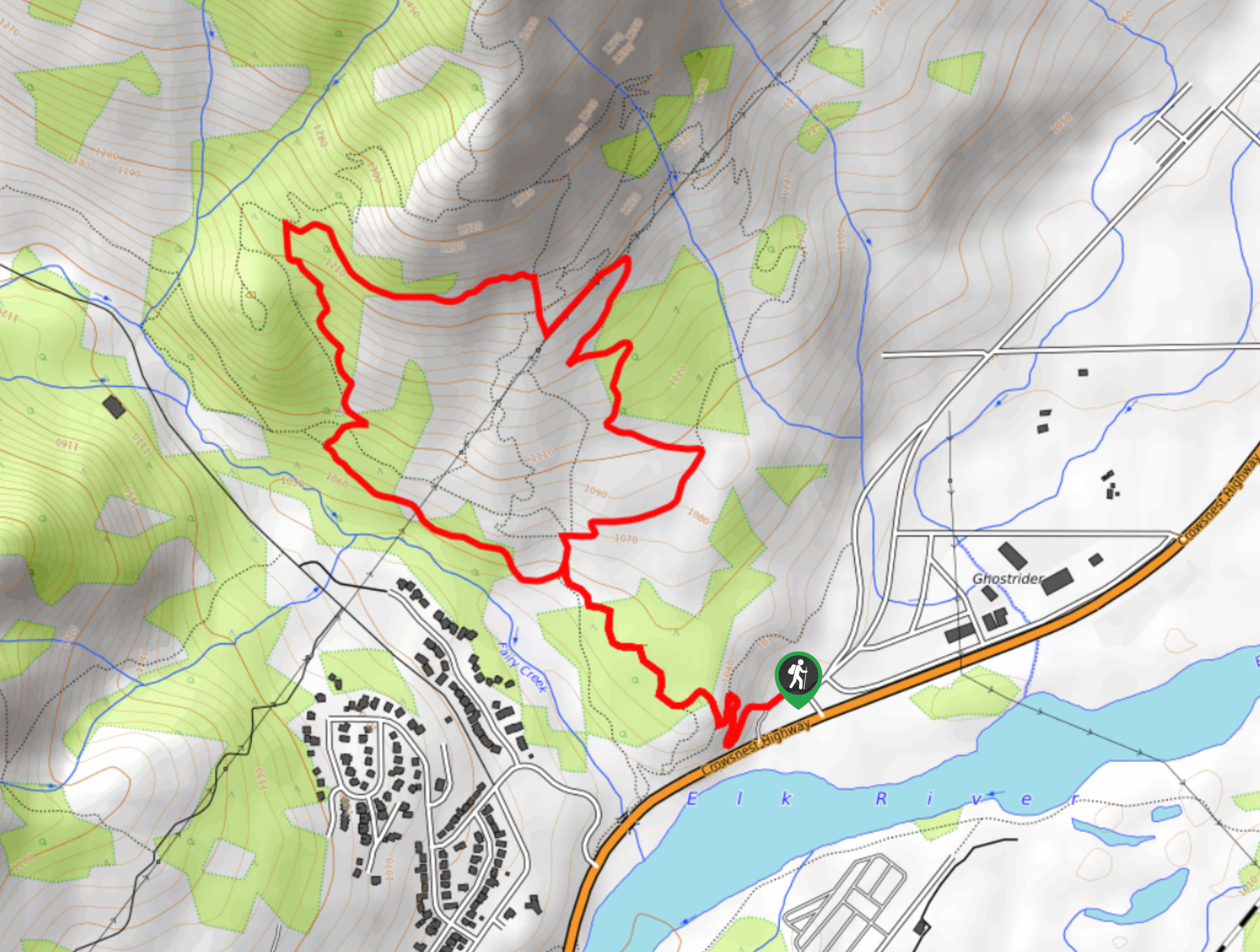
To reach the trailhead for the Fernie Rail Trail from Fernie, make your way southwest on BC-3 for 1.5mi and make a right on Mount Fernie Park Road. In 3.7mi, you will find the parking area on the right side of the road.

About
| When to do | July–October |
| Backcountry Campsites | No |
| Pets allowed | Yes - On Leash |
| Family friendly | Older Children only |
| Route Signage | Average |
| Crowd Levels | Moderate |
| Route Type | Out and back |
Fernie Rail Trail
Elevation Graph
Weather
Fernie Rail Trail Description
Hiking along the Fernie Rail Trail is a fun outdoor experience for hikers of most skill levels, as the route traverses some easy-to-navigate and relatively level terrain. Hikers looking to utilize this trail should first check for any route closures, as high levels of moose and bear activity in the area often result in the trail being closed. Make sure to travel in groups, make lots of noise, and bring bear spray to stay safe when out on the trail.
Set out from the trailhead off of Mount Fernie Park Road, and follow the trail into the dense forest cover to the east as you work your way through the valley toward Mount Fernie Provincial Park. Shortly after beginning your trek, the trail will intersect with the road. Cross to the other side and follow the trail as it now runs parallel to the road. As you hike through the peaceful atmosphere of the forest, take note of the beautiful old-growth cedars found in the area. After crossing several small streams, you will come to the end of the trail at the edge of the park. From here, you will need to backtrack along the same route and take in the picturesque views from the opposite perspective as you make your way back to your vehicle at the trailhead.
Similar hikes to the Fernie Rail Trail hike
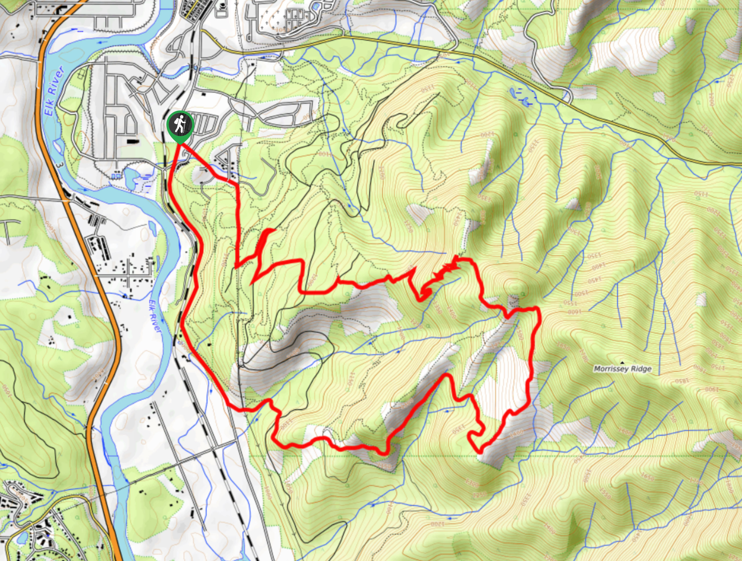
New South Castle Trail
The New South Castle Trail is a 8.2mi hiking route in Fernie that loops through a dense network…
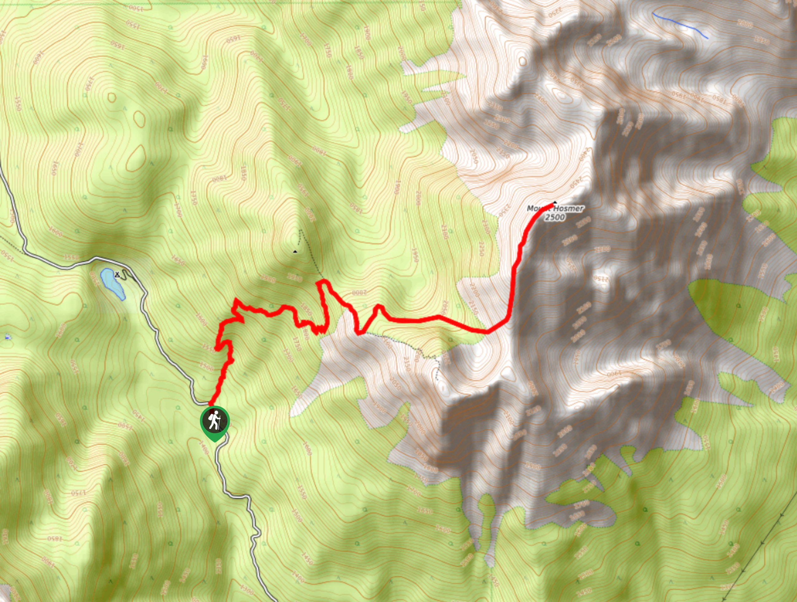
Mount Hosmer Trail
The Mount Hosmer Trail is a 6.5mi out-and-back hiking route near Fernie that will both challenge your resolve…
Mad Cow and Swine Flu Loop
The Mad Cow and Swine Flu Loop is a combination of multi-use trails in Fernie that create a scenic loop…
Comments