
Castle Mountain Trail
View Photos
Castle Mountain Trail
Difficulty Rating:
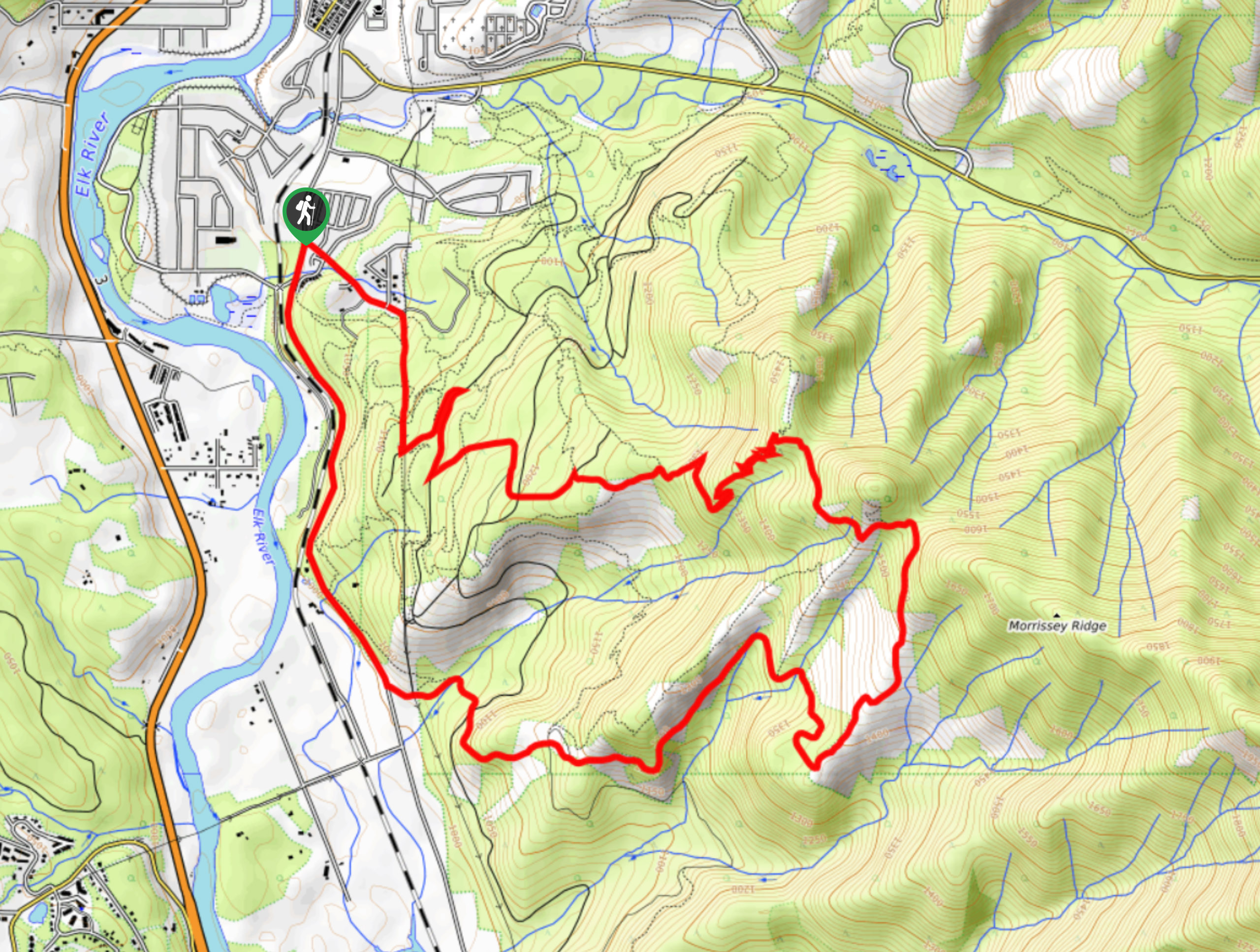
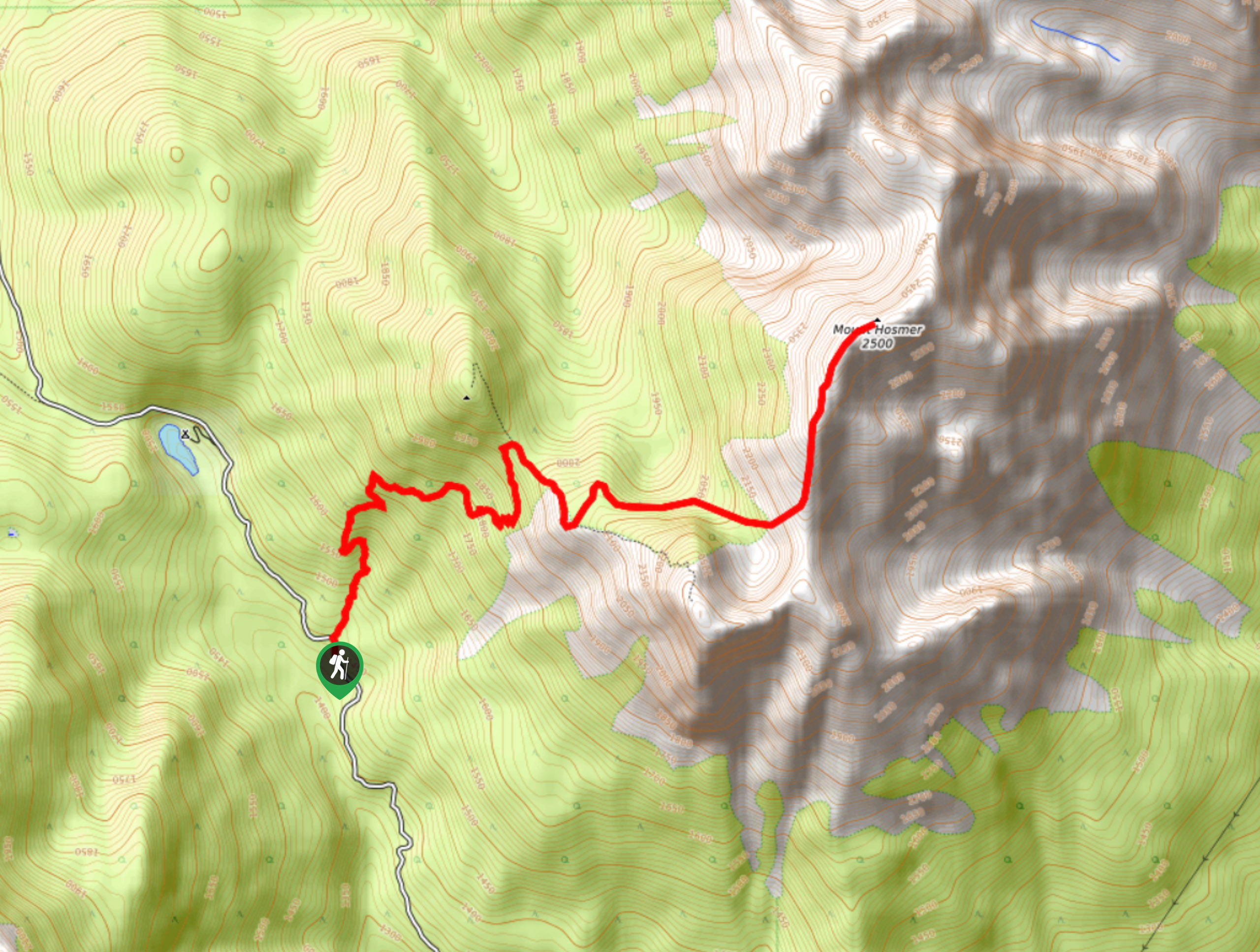
The Castle Mountain Trail is a 4.8mi out-and-back hiking route in Fernie that will take hikers through the forest to a scenic viewpoint overlooking the city and Elk Valley. This trail is part of a dense network of hiking and mountain bike routes that can make navigation confusing or difficult. Make sure to bring a good trail map or GPS to locate the trailhead.
Getting there
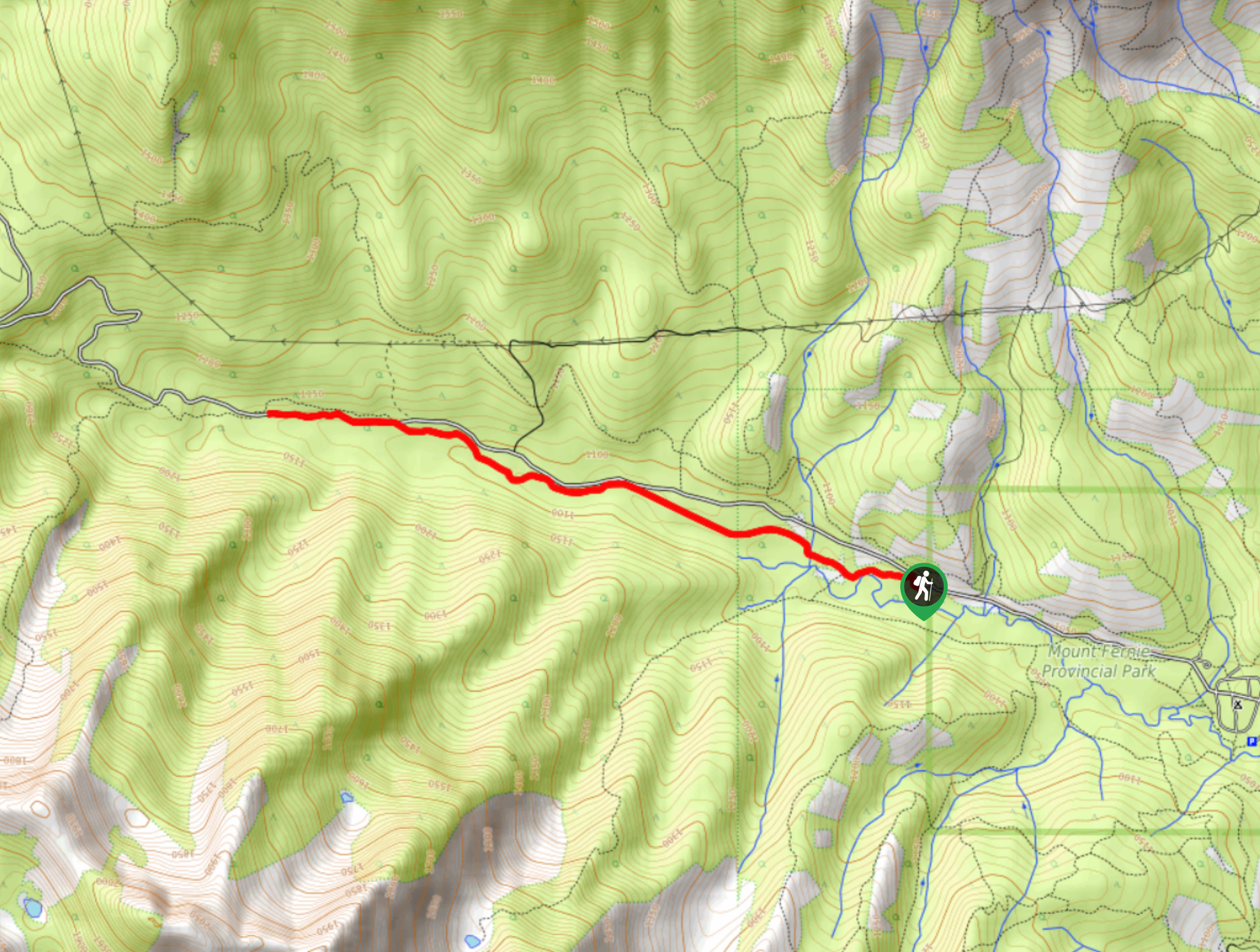
To reach the trailhead for the Castle Mountain Trail from Fernie, drive southeast on 4 Street for 2133ft and turn right on Pine Ave. After 0.8mi, take a left onto Castle Mountain Road. In 1804ft, you will need to park at the end of the street and continue on foot. Using a trail map or GPS, make your way through the dense network of trails to reach the trailhead.

About
| When to do | May–October |
| Backcountry Campsites | No |
| Pets allowed | Yes - On Leash |
| Family friendly | Older Children only |
| Route Signage | Poor |
| Crowd Levels | Moderate |
| Route Type | Out and back |
Castle Mountain Trail
Elevation Graph
Weather
Castle Mountain Trail Description
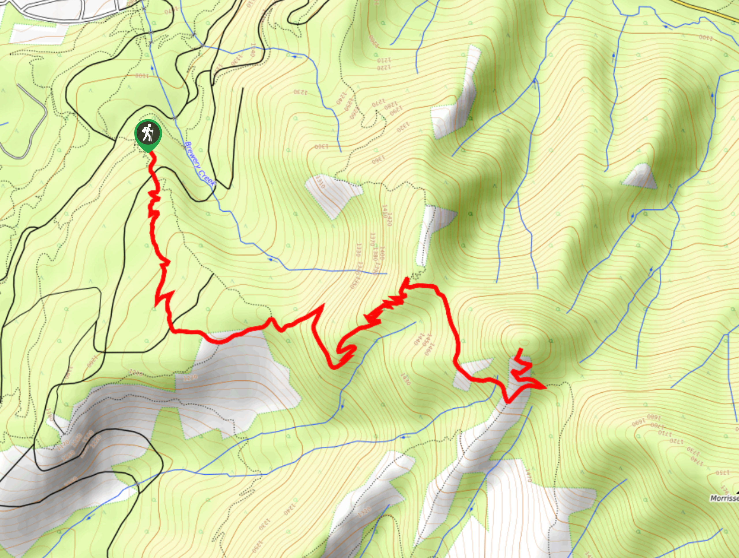
The Castle Mountain Trail is a great hiking option on the edge of Fernie that will allow hikers to gain some elevation for a nice view overlooking the valley. Accessing the trailhead can be tricky due to the confusingly intertwined network of trails in the area, so make sure that you follow closely along with a GPS or trail map. Although the route has a moderate elevation gain of 1529ft, this is spread throughout a steady incline, making it a doable trail for beginner and casual hikers.
Once you locate the trailhead, follow the path to the south as you wind through the forest along the New Roots Trail. Pass straight through the junctions in the trail to get onto the Hyperventilation Trail and follow it as it forms a series of switchbacks up the mountainside. Reaching the top of these switchbacks, you will come to another junction in the trail, at which point you should head right on a course for the summit. Once you get to the viewpoint at the top of the trail, you will be greeted with spectacular views overlooking the city of Fernie nestled within the valley. Take some time to gaze out at the mountainous expanse in front of you before heading back down the trail to your vehicle.
Similar hikes to the Castle Mountain Trail hike
Fernie Rail Trail
The Fernie Rail Trail is a 4.3mi out-and-back hiking trail found just west of Mount Fernie Provincial Park…
New South Castle Trail
The New South Castle Trail is a 8.2mi hiking route in Fernie that loops through a dense network…
Mount Hosmer Trail
The Mount Hosmer Trail is a 6.5mi out-and-back hiking route near Fernie that will both challenge your resolve…
Comments