
Coal Creek Heritage Trail
View Photos
Coal Creek Heritage Trail
Difficulty Rating:
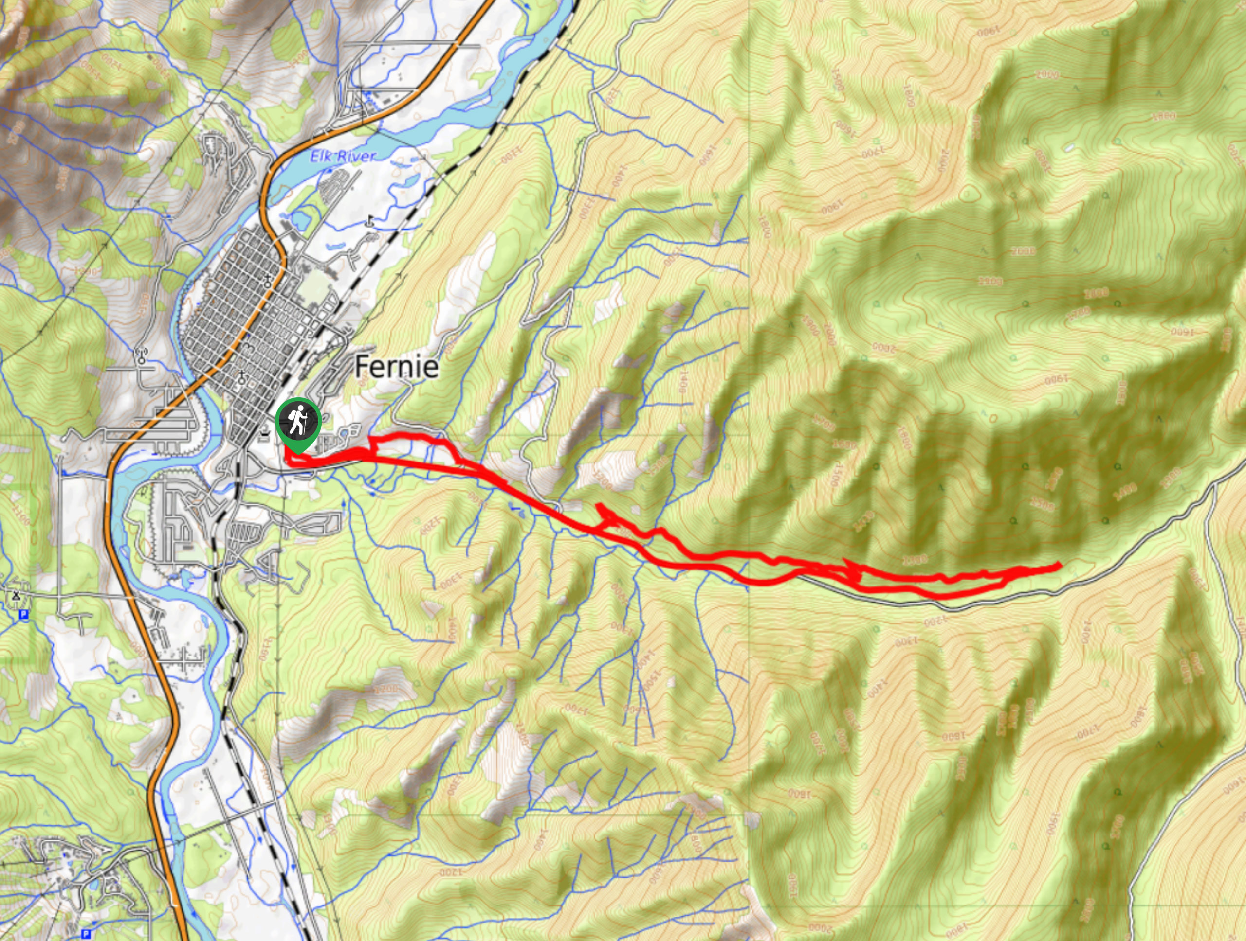
The Coal Creek Heritage Trail is an 11.4mi hiking and mountain bike route in Fernie, BC, that travels alongside Coal Creek and offers scenic views of the surrounding valley landscape. Along the hike, you will have the opportunity to visit the remnants of the old Coal Creek town and take in some majestic mountain views. Make sure to share the trail as this is a multi-use route, and you will likely encounter passing mountain bikers.
Getting there
To get to the parking area for the Coal Creek Heritage Trail from Fernie, head southeast on 4 Street for 2133ft and turn right onto Pine Avenue. In 623ft, turn left to enter the parking lot.

About
| When to do | April–October |
| Backcountry Campsites | No |
| Pets allowed | Yes |
| Family friendly | Older Children only |
| Route Signage | Average |
| Crowd Levels | Moderate |
| Route Type | Circuit |
Coal Creek Heritage Trail
Elevation Graph
Weather
Coal Creek Heritage Trail Description
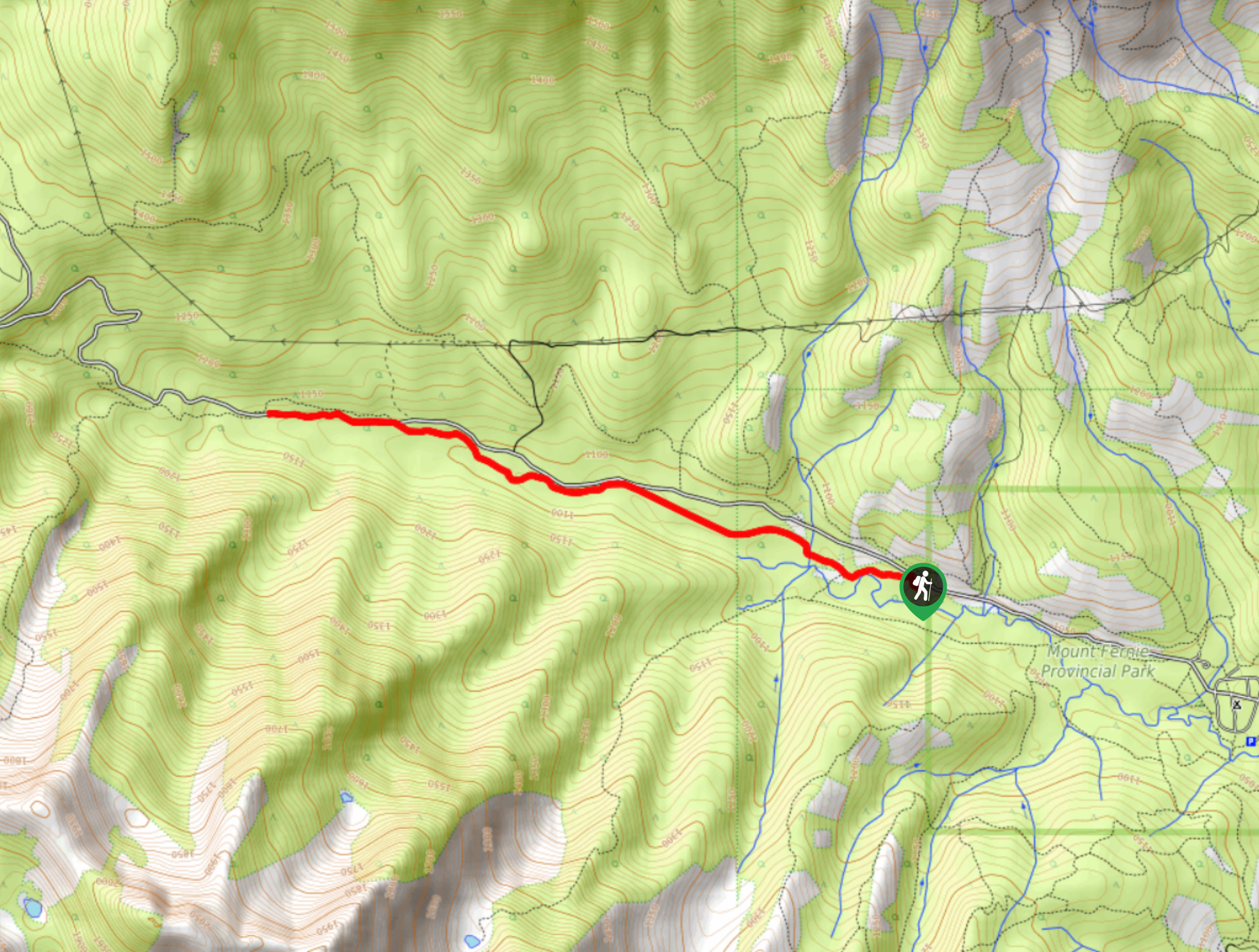
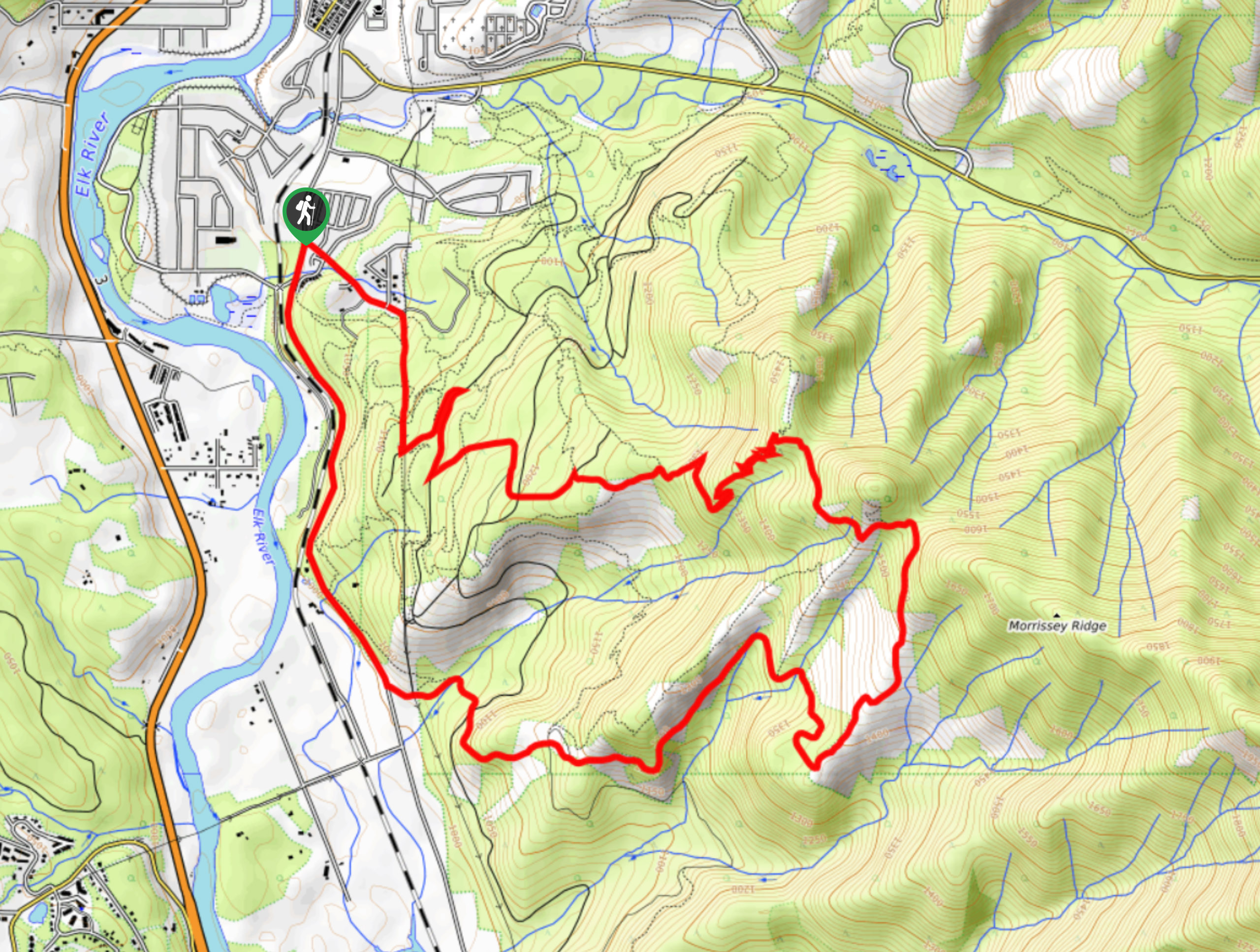
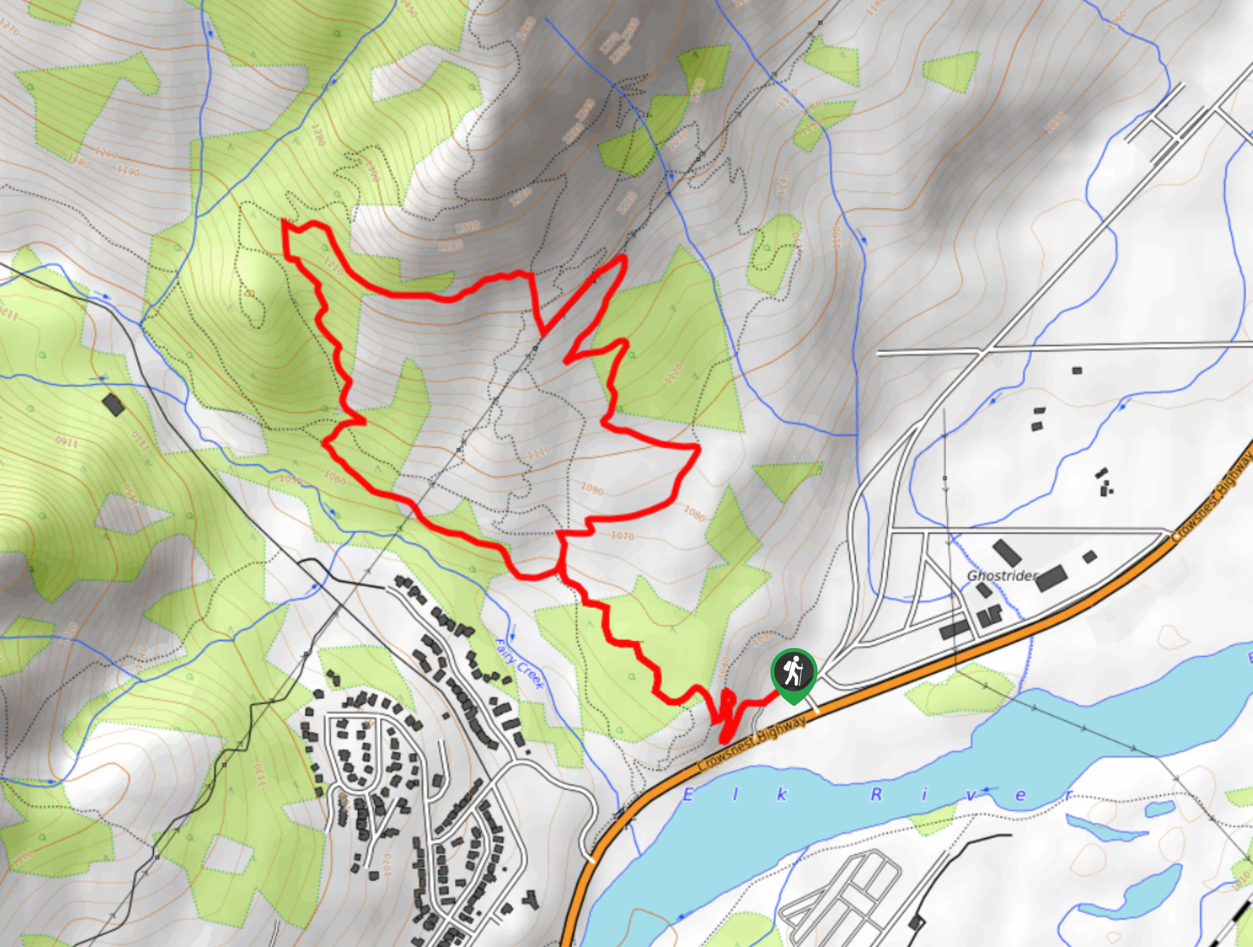
Hiking the Coal Creek Heritage Trail is a great way to spend an afternoon in the Fernie area. This long trail is suitable for both hiking and mountain biking, giving you plenty of options for getting some exercise in the scenic landscape. Along the trail, you will climb gently uphill alongside the flowing waters of Coal Creek and will be surrounded by the lush, green atmosphere of the valley. In addition to the natural beauty of the hike, you will also be able to spot the remnants of the old mining town that used to be located along Coal Creek. Making your way back down the trail, you will have a great sightline across Elk Valley towards Mount Fernie, Mount Proctor, and the Three Sisters.
Similar hikes to the Coal Creek Heritage Trail hike
Fernie Rail Trail
The Fernie Rail Trail is a 4.3mi out-and-back hiking trail found just west of Mount Fernie Provincial Park…
New South Castle Trail
The New South Castle Trail is a 8.2mi hiking route in Fernie that loops through a dense network…
Mad Cow and Swine Flu Loop
The Mad Cow and Swine Flu Loop is a combination of multi-use trails in Fernie that create a scenic loop…
Comments