
Cabin Trail
View Photos
Cabin Trail
Difficulty Rating:
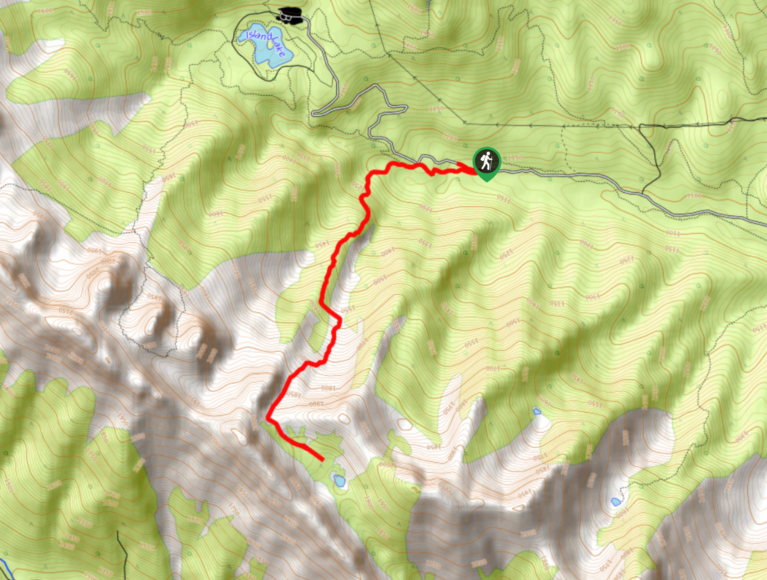
The Cabin Trail is a 4.8mi out-and-back hiking route outside of Fernie, BC, that climbs into the Lizard Mountain Range to reach the Thunder Meadows Cabin. Hikers will need to use their route-finding abilities to pick up and stay on the trail, so this route is geared towards experienced hikers rather than beginners. Along the trail, you will have a spectacular view across the alpine terrain of the valley, including the majestic sight of Mount Fernie, the Three Sisters, and Mount Proctor directly to the north.
Getting there
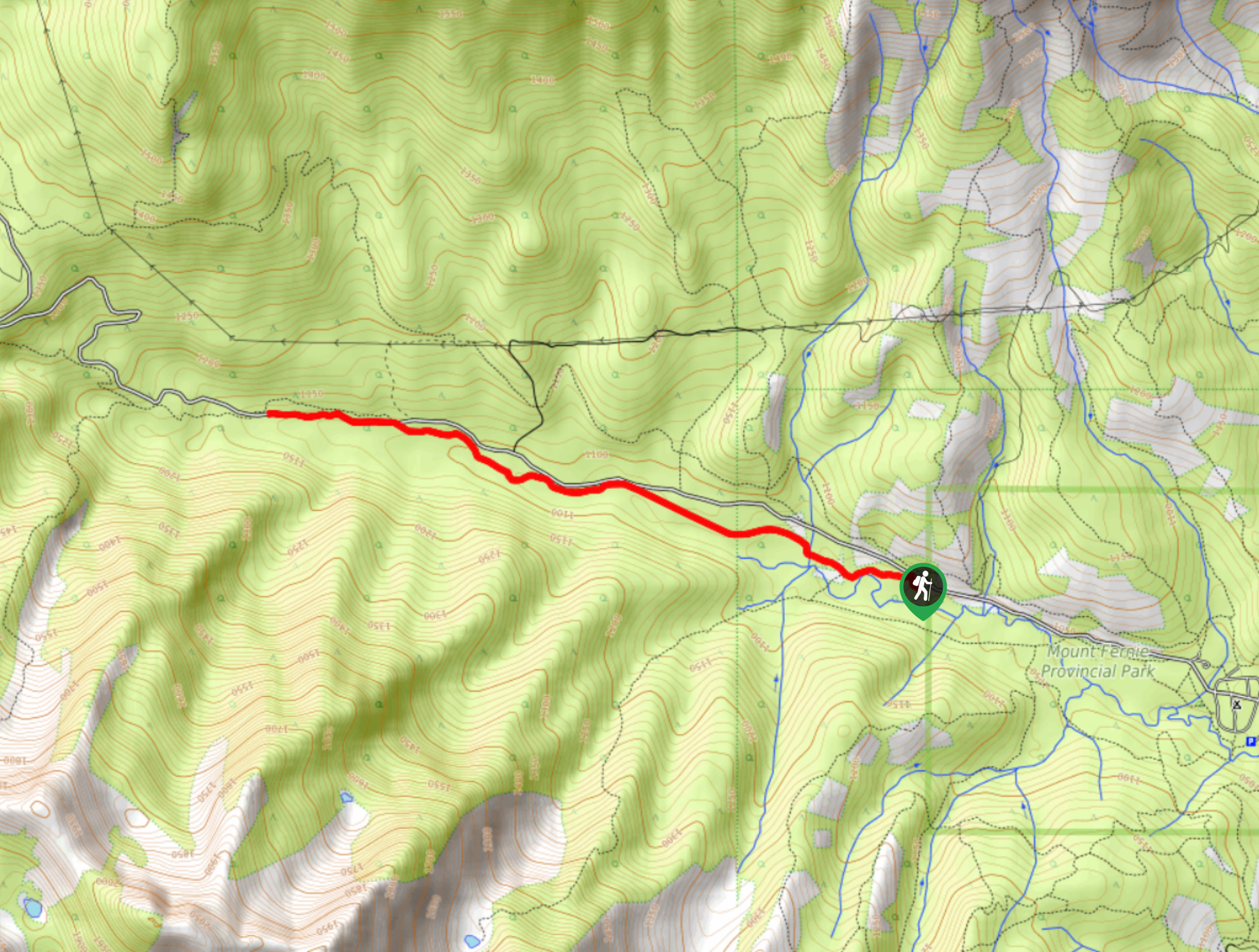
To get to the parking area and trailhead for the Cabin Trail from Fernie, drive to the southwest on BC-3 for 1.5mi and turn right onto Mount Fernie Park Road. From here, continue for 3.7mi, where you will find the parking area on the right side of the road and the trailhead on the left.

About
| When to do | May-November |
| Backcountry Campsites | Thunder Meadows Cabin |
| Pets allowed | Yes |
| Family friendly | No |
| Route Signage | Poor |
| Crowd Levels | Low |
| Route Type | Out and back |
Cabin Trail
Elevation Graph
Weather
Cabin Trail Description
The Cabin Trail is an awesome outdoor adventure in the Fernie area that you can complete in a single day, but it’s also a fun way to spend a night in the mountains if you can book an overnight stay in the Thunder Meadows Cabin. To make your way up through the mountain pass, you will need decent route-finding abilities as the trail is difficult to discern in some places, and the orange trail flags and rock cairns are not always easy to spot. Additionally, hikers should always check for trail closures, as bear and moose activity in this area frequently restricts access to this route.
The trail sets out from the side of Mount Fernie Park Road and heads west through a beautiful stretch of forest before turning to the south to begin the ascent of the pass. The initial part of this hike will be very steep, and once you break into the alpine terrain, you will need to utilize your route finding skills to locate the route uphill. Direct yourself a bit to the right of the large rock mound that sits in the middle of the channel to make your way through the pass and down to the cabin below. Take some time to explore the picturesque alpine terrain around the cabin and the small lake before heading back along the same route to return to the trailhead. On the return journey, you will have amazing views over Island Lake and the mountainous expanse across the valley to the north.
Similar hikes to the Cabin Trail hike
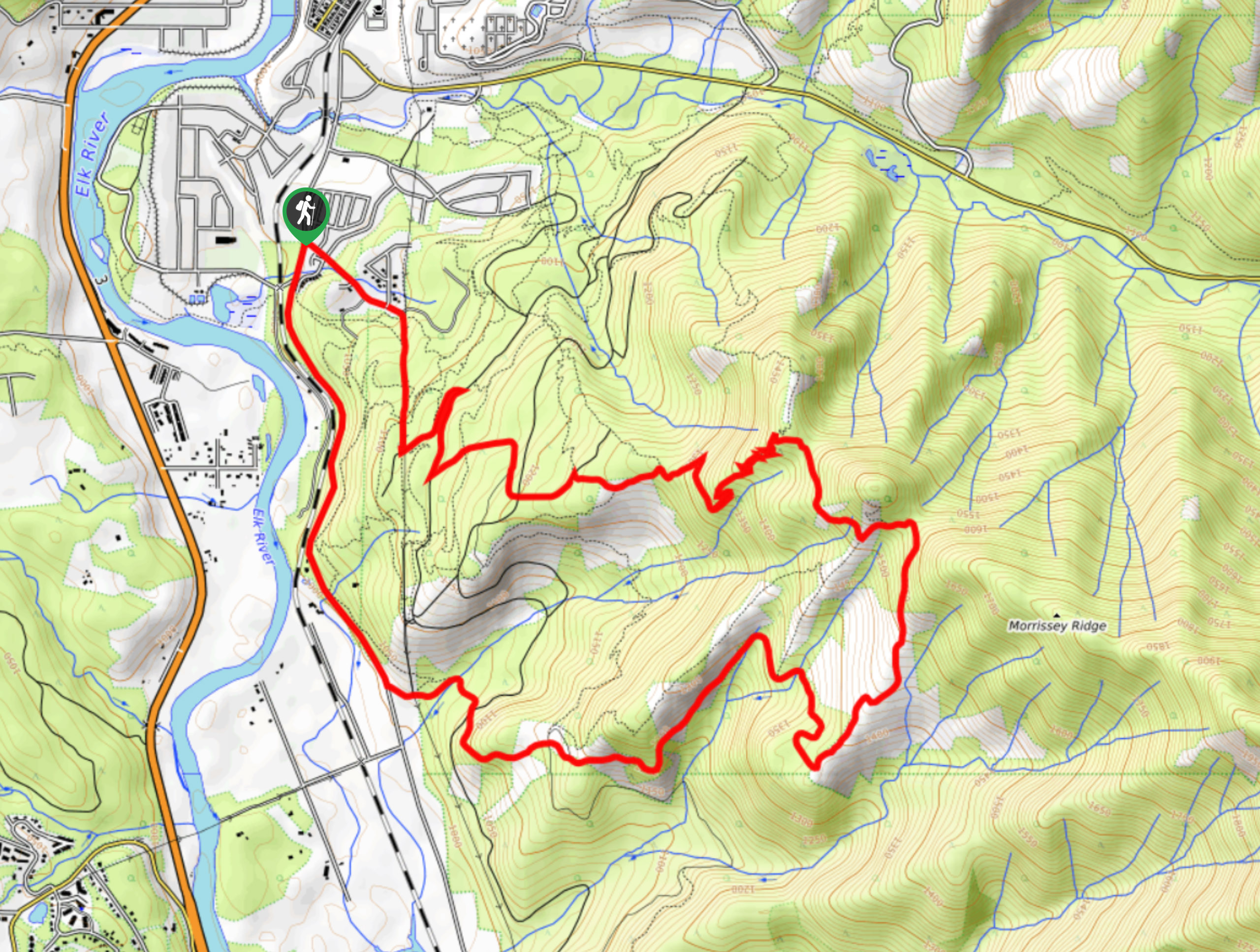
Fernie Rail Trail
The Fernie Rail Trail is a 4.3mi out-and-back hiking trail found just west of Mount Fernie Provincial Park…
New South Castle Trail
The New South Castle Trail is a 8.2mi hiking route in Fernie that loops through a dense network…
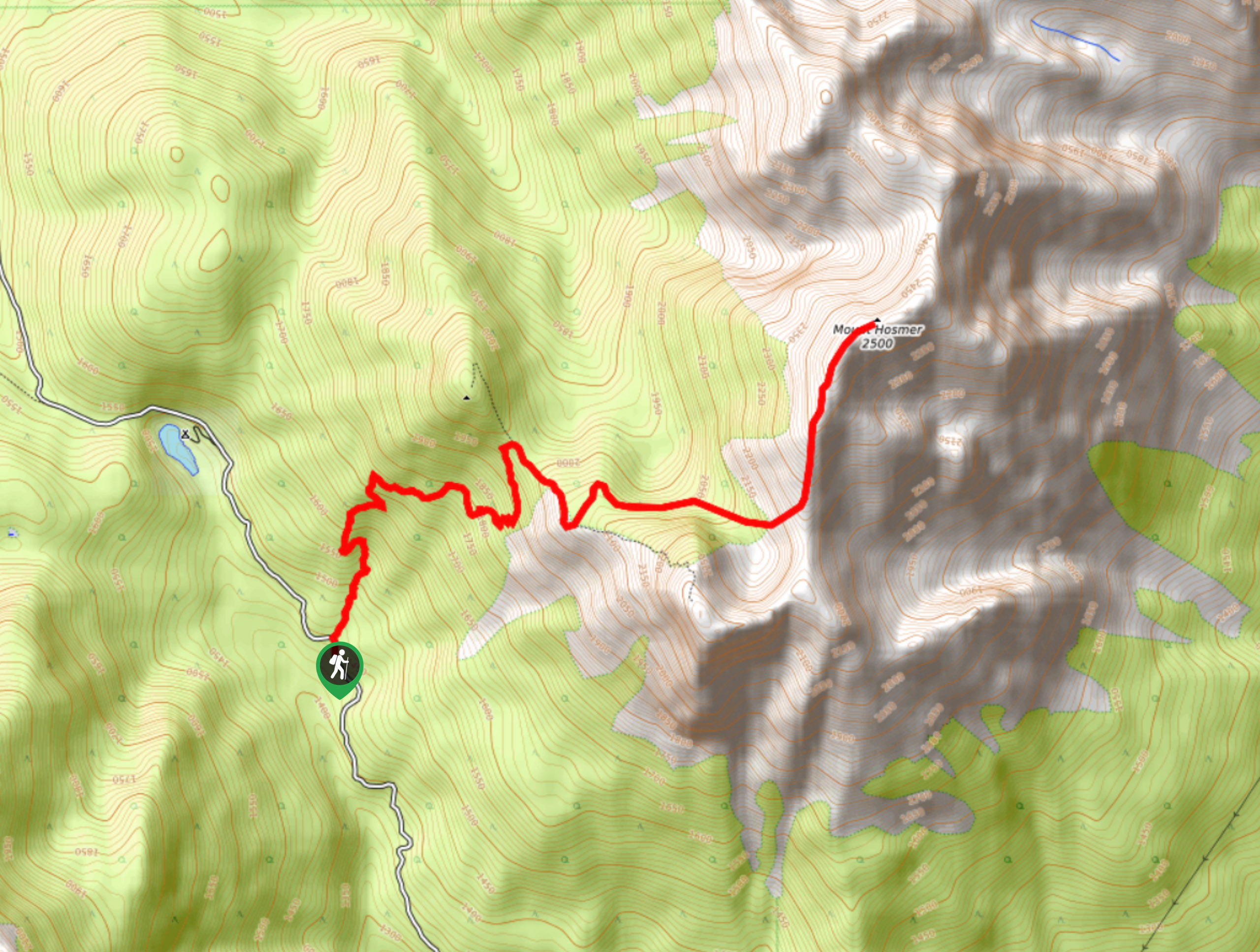
Mount Hosmer Trail
The Mount Hosmer Trail is a 6.5mi out-and-back hiking route near Fernie that will both challenge your resolve…
Comments