
Mount Baldy
View Photos
Mount Baldy
Difficulty Rating:
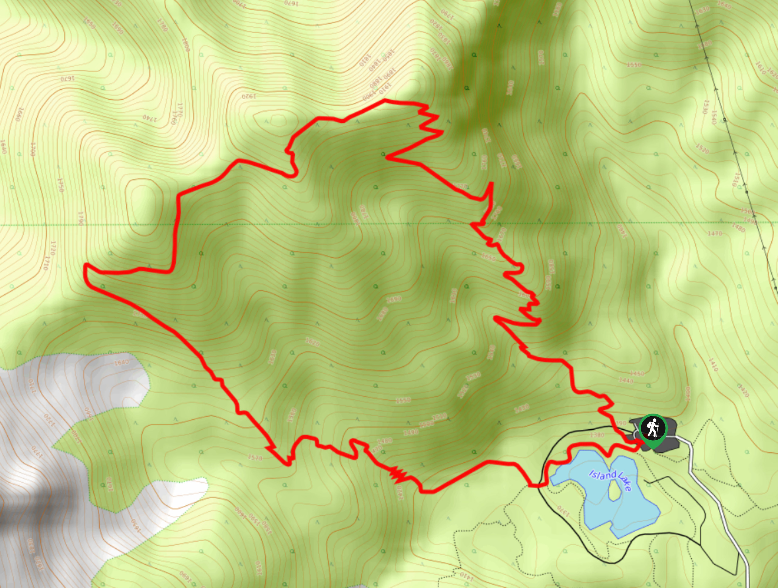
Mount Baldy is an 5.2mi hiking route near Fernie, BC, that will provide hikers with some fantastic views overlooking the valley. You will have a sightline over Island Lake below and the surrounding mountain peaks from your hilltop perch. This is an excellent trail for both experienced and casual hikers due to the combination of moderate elevation gain and easy-to-navigate terrain.
Getting there
To get to the trailhead for Mount Baldy from Fernie, head to the southwest on BC-3 for 1.5mi, making a right turn to get onto Mount Fernie Park Road. Continue for 5.8mi, where you will eventually reach the parking area next to the Island Lake Lodge.

About
| When to do | July–September |
| Backcountry Campsites | No |
| Pets allowed | Yes - On Leash |
| Family friendly | Older Children only |
| Route Signage | Average |
| Crowd Levels | Moderate |
| Route Type | Circuit |
Mount Baldy
Elevation Graph
Weather
Mount Baldy Trail Description
Hiking the trail up Mount Baldy is a great outdoor experience in the Fernie area that will take you on a relatively easy uphill climb to a scenic vantage point overlooking the beautiful valley below. Hikers will experience a variety of terrain along the trail, including beautiful stretches of forest, well-worn dirt paths, and sections of loose rock and roots. Even with the variations in terrain and the steady uphill climb, hikers won’t be overly challenged along this moderate route.
Reaching the top of the mountain, you will be able to spot several nearby mountain peaks, including the Lizard Range immediately to the southwest, as well as Mount Fernie, the Three Sisters, Mount Bisaro, and Mount Proctor to the northeast. From this scenic viewpoint, you will also spot the blue waters of Island Lake and the lodge nestled in the valley below. This is a great route to get out and explore the natural beauty of Fernie without too much trouble or difficulty.
Similar hikes to the Mount Baldy hike
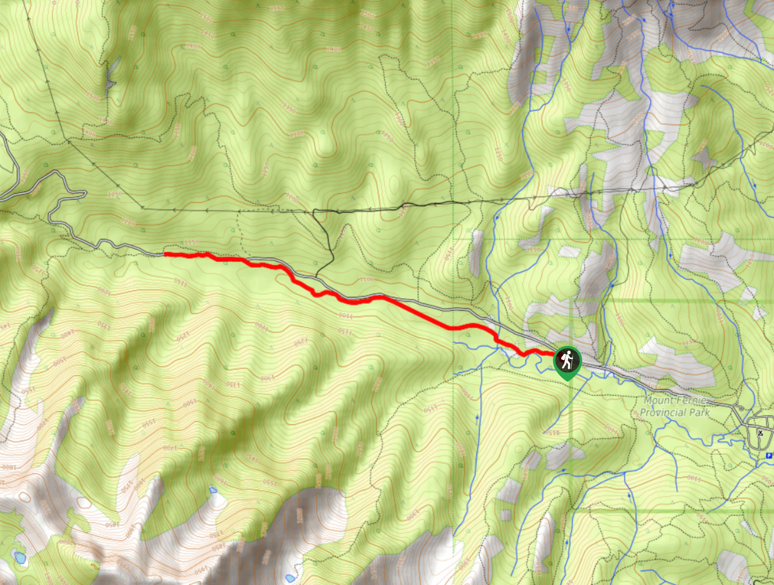
Fernie Rail Trail
The Fernie Rail Trail is a 4.3mi out-and-back hiking trail found just west of Mount Fernie Provincial Park…
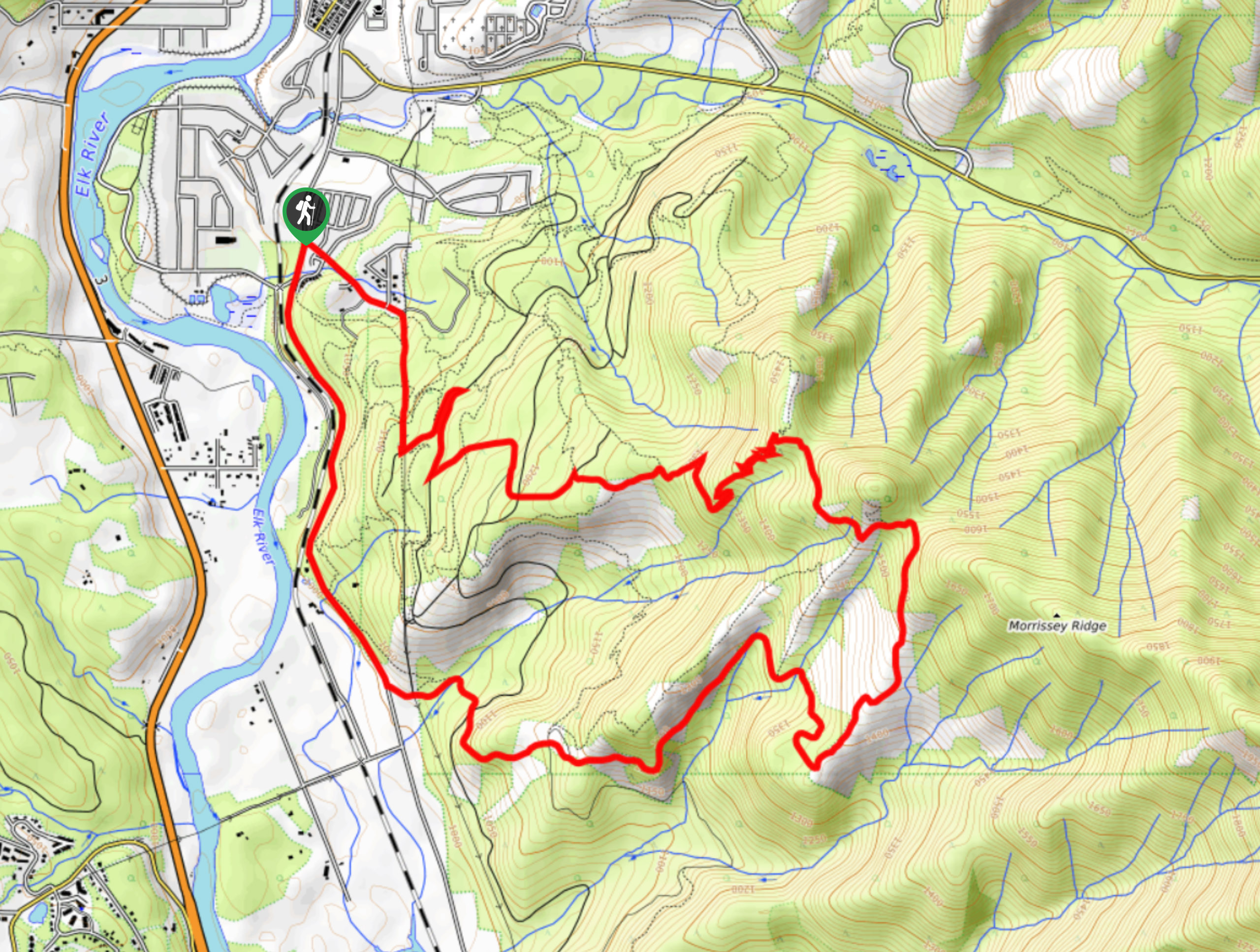
New South Castle Trail
The New South Castle Trail is a 8.2mi hiking route in Fernie that loops through a dense network…
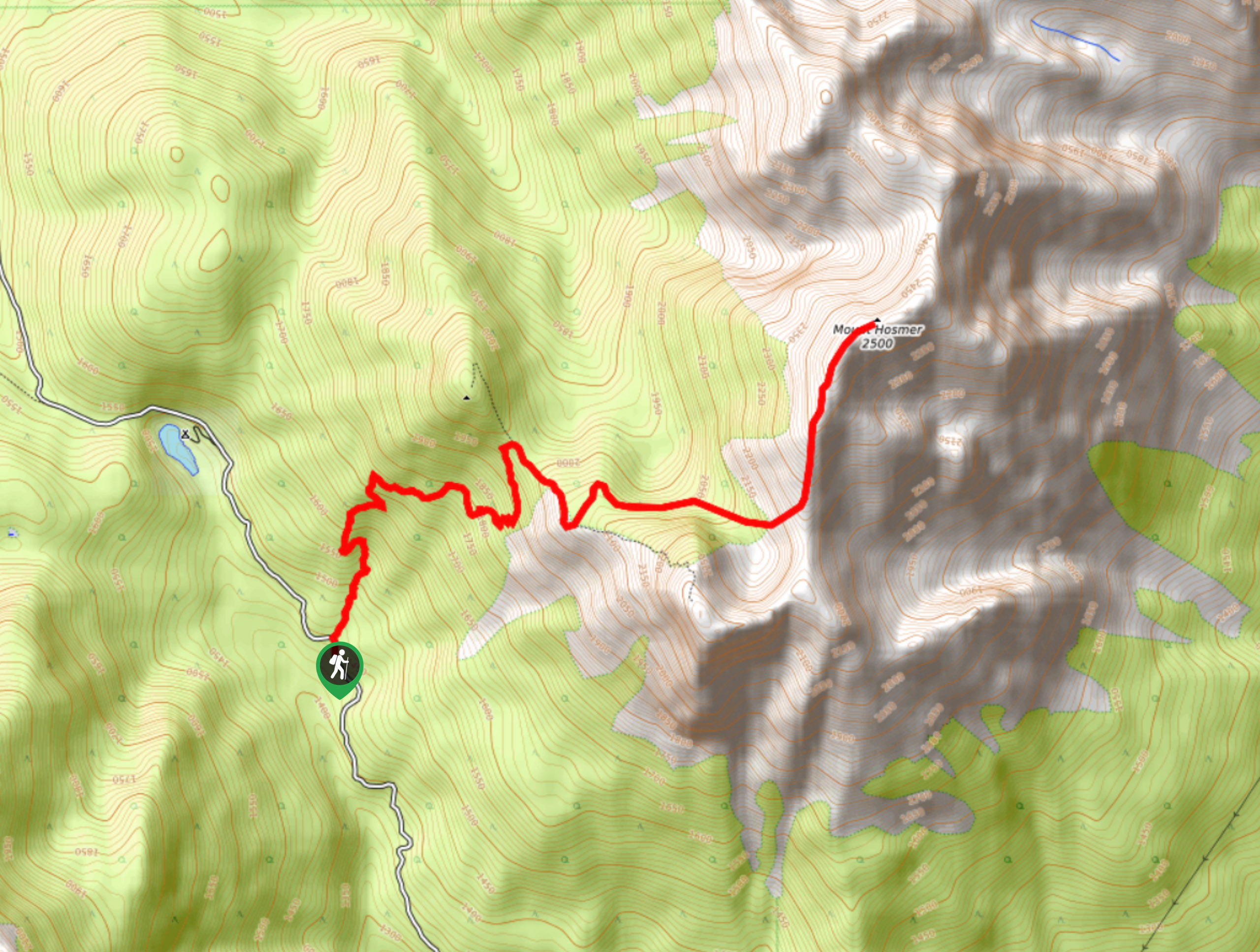
Mount Hosmer Trail
The Mount Hosmer Trail is a 6.5mi out-and-back hiking route near Fernie that will both challenge your resolve…
Comments