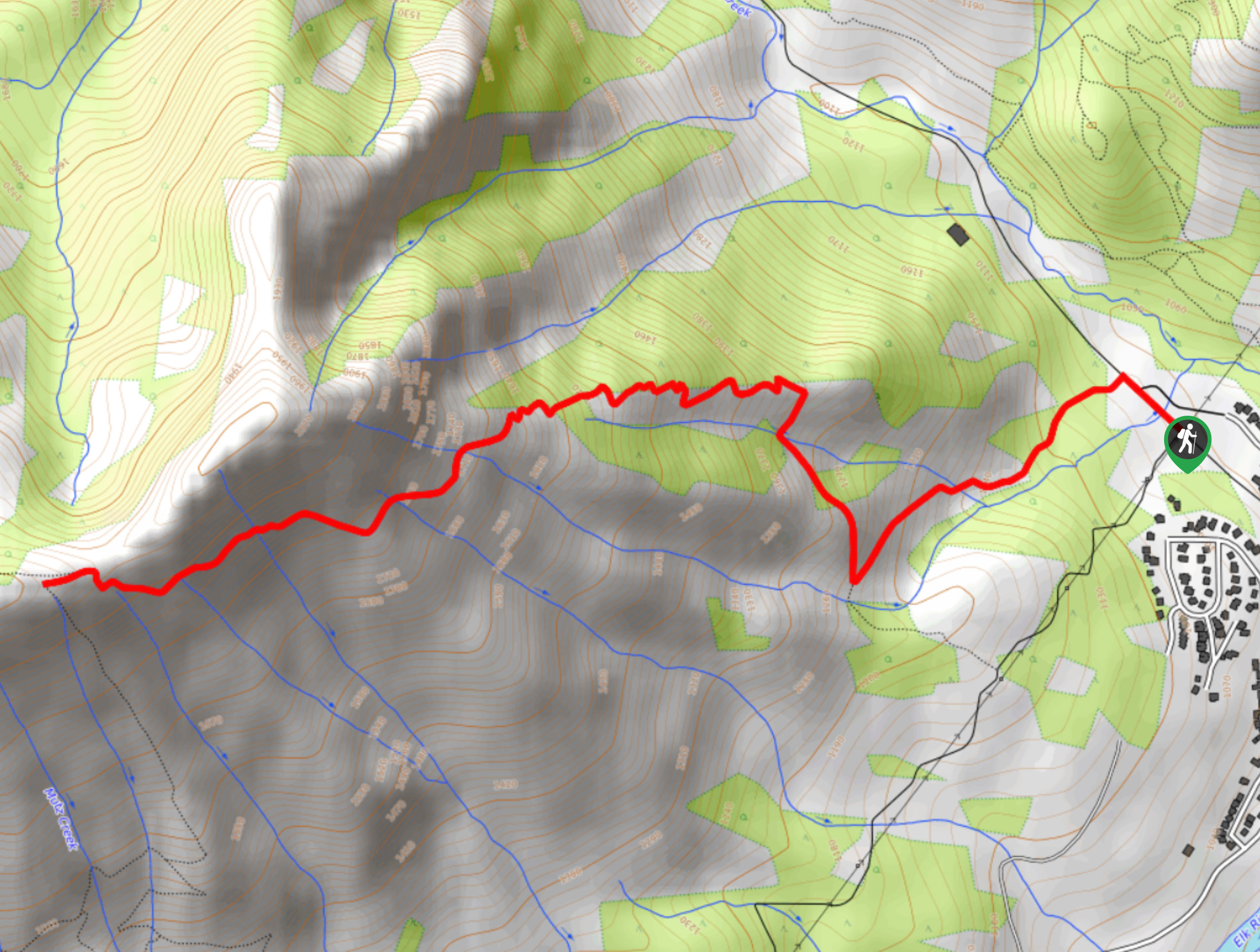
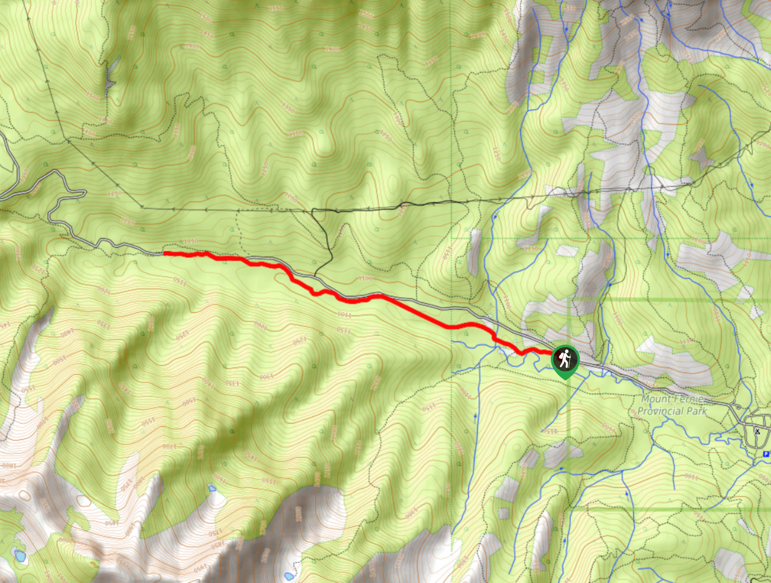
Mount Fernie Trail
View Photos
Mount Fernie Trail
Difficulty Rating:
The Mount Fernie Trail is a 4.7mi out-and-back hiking route that will take you along a forested route up the mountain to a scenic viewpoint overlooking the Elk Valley. This steep trail is well-maintained for most of the route, with the last portion being a bit more rugged and requiring some light scrambling. Although challenging, this hike is a great option for casual hikers looking to build up their experience for longer and more difficult routes.
Getting there
To reach the parking area for the Mount Fernie Trail from Fernie, head Northeast on BC-3 for 0.9mi and turn left on Canyon Trail. Continue for 1148ft and make a right turn to stay on the road, where you will find the parking area straight ahead in 1640ft.

About
| When to do | May–October |
| Backcountry Campsites | No |
| Pets allowed | Yes - On Leash |
| Family friendly | No |
| Route Signage | Average |
| Crowd Levels | Low |
| Route Type | Out and back |
Mount Fernie Trail
Elevation Graph
Weather
Mount Fernie Trail Description
Hiking the Mount Fernie Trail is a great adventure that shouldn’t be skipped if you are in the Fernie area since it is the city’s namesake, and it has some truly awesome views that you won’t want to miss. While the route is steep, it isn’t very exposed and is primarily contained within the forest, making it a great option for hikers of most skill levels trying to push themselves. The route initially travels to the west alongside a creek before shifting in a northwest direction through steep switchbacks. As you continue to gain elevation through the forest, you will catch glimpses of the views out across Elk Valley before the tree cover breaks considerably on the final approach to the summit.
After some light scrambling, you will reach the top of the ridge and be greeted with views across the valley with the city of Fernie nestled below, as well as some fantastic mountain views to the north, with a sightline that includes Mount Proctor, the Three Sisters, and Mount Bisaro. After taking in the views, head back down along the steep forested trail to return to the trailhead.
Similar hikes to the Mount Fernie Trail hike
Fernie Rail Trail
The Fernie Rail Trail is a 4.3mi out-and-back hiking trail found just west of Mount Fernie Provincial Park…
New South Castle Trail
The New South Castle Trail is a 8.2mi hiking route in Fernie that loops through a dense network…
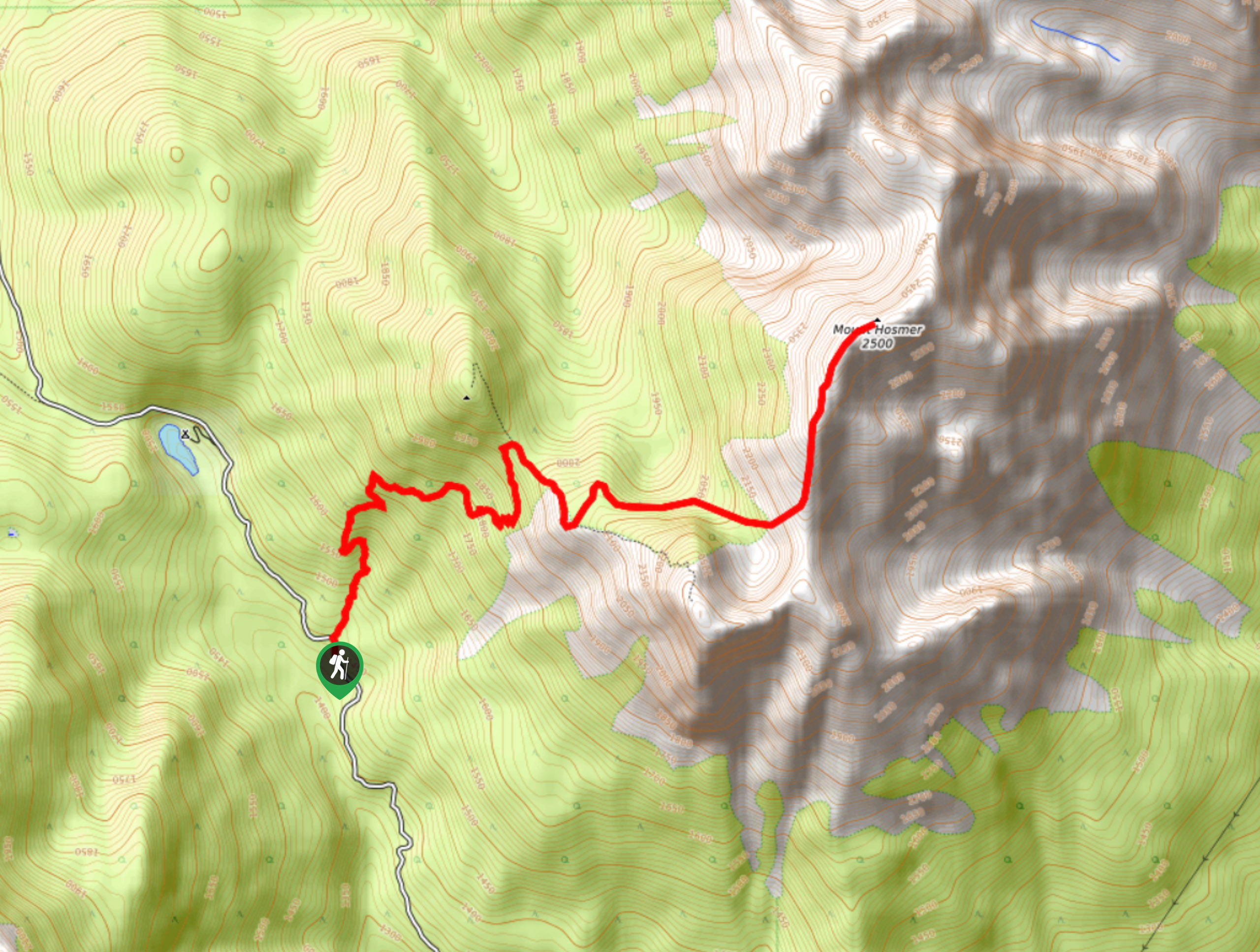
Mount Hosmer Trail
The Mount Hosmer Trail is a 6.5mi out-and-back hiking route near Fernie that will both challenge your resolve…
Comments