South West Coast Path: Paignton to Exmouth
View Photos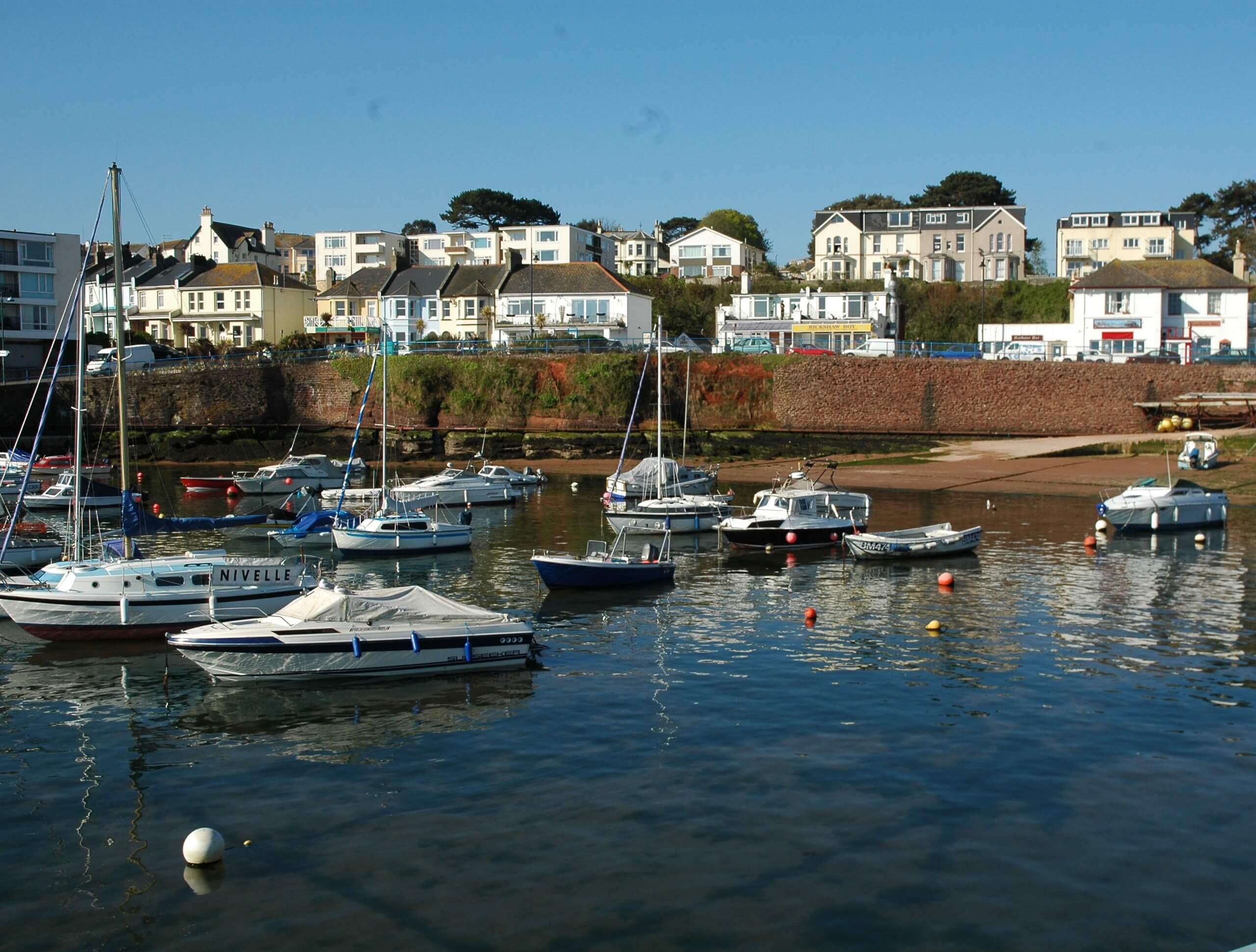
South West Coast Path: Paignton to Exmouth
Difficulty Rating:
Walking the South West Coast Path: Paignton to Exmouth is a lengthy adventure in Devon that will lead you along the coast for beautiful views of the English Channel; however, the difficulty and overall distance of the route make it only appropriate for seasoned walkers. While out on the trail, you will traverse the rugged terrain of the coast and take a ferry across Teignmouth to reach the end point of the walk at the Starcross ferry to Exmouth. Be sure to plan travel arrangements, as this is a one-way walk.
Getting there
To reach the South West Coast Path: Paignton to Exmouth trailhead from the Paignton rail station, drive southwest on Great Western Road for 335ft and turn left onto Station Lane, following it for 0.1mi. Make a left onto Sands Road for 128ft and take the first exit at the roundabout onto Sands Road, continuing along it for another 0.2mi. At the next roundabout, take the first exit onto Esplanade Road and follow it for 0.3mi. Turn right here onto Eastern Esplanade and you will find parking in 295ft.

About
| Backcountry Campground | Dawlish Sands Campsite |
| When to do | Year-Round |
| Pets allowed | Yes - On Leash |
| Family friendly | No |
| Route Signage | Average |
| Crowd Levels | Low |
| Route Type | One Way |
South West Coast Path: Paignton to Exmouth
Elevation Graph
Weather
South West Coast Path: Paignton to Exmouth Trail Description
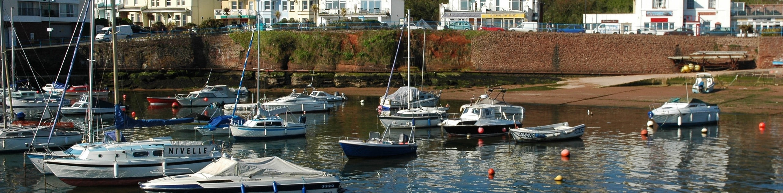
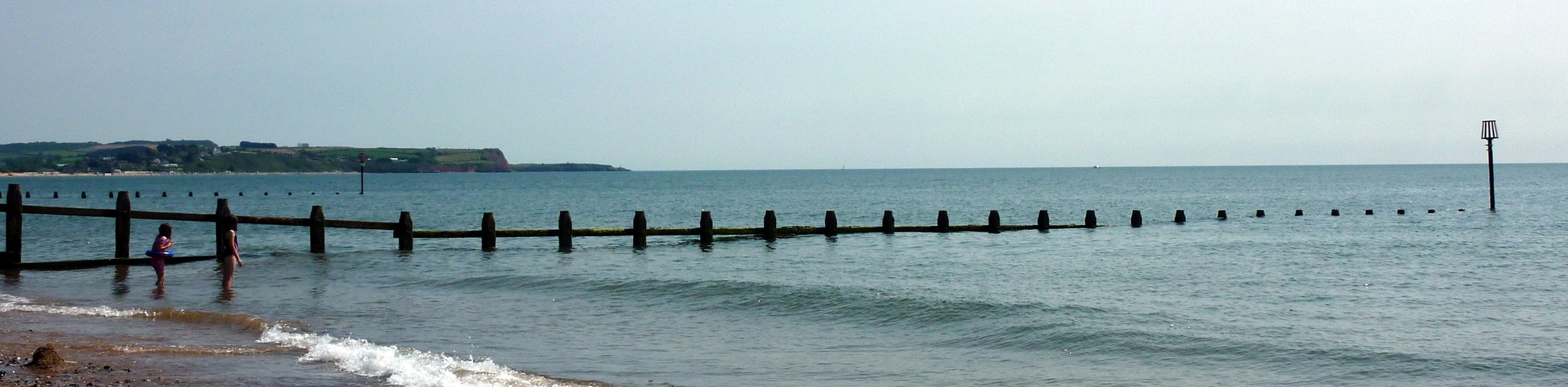
The South West Coast Path: Paignton to Exmouth is a great long distance walk that is usually done by backpackers aiming to complete the entire 630.0mi trek; however, it can also be done as a shorter – but still lengthy – day walk that will lead you between these two coastal towns. Setting out from the trailhead, you will head to the northeast to traverse the rugged coastal terrain around Torquay, passing by countless coves on the way to the ferry that will take you across the River Teign to Teignmouth. After making your way across the water, continue along the coast through Dawlish, enjoying the beautiful views of the English Channel on the way to the end point of the trail in Starcross. Here, you will find a rail station that can take you back to Paignton, where you began your lengthy adventure along the South Devon coast.
Similar hikes to the South West Coast Path: Paignton to Exmouth hike
Exmouth and Dawlish Warren Walk
Walking the Exmouth and Dawlish Warren Trail is a beautifully scenic but physically demanding excursion in Devon that will see…

Exe Valley Way
The Exe Valley Way is a long distance walking route in Devon that will expose you to the picturesque countryside.…

Tavistock Canal Towpath Walk
Walking the Tavistock Canal Towpath Trail is a fun excursion that will allow you to experience the picturesque Devon countryside…
Comments