
Exe Valley Way
View Photos
Exe Valley Way
Difficulty Rating:
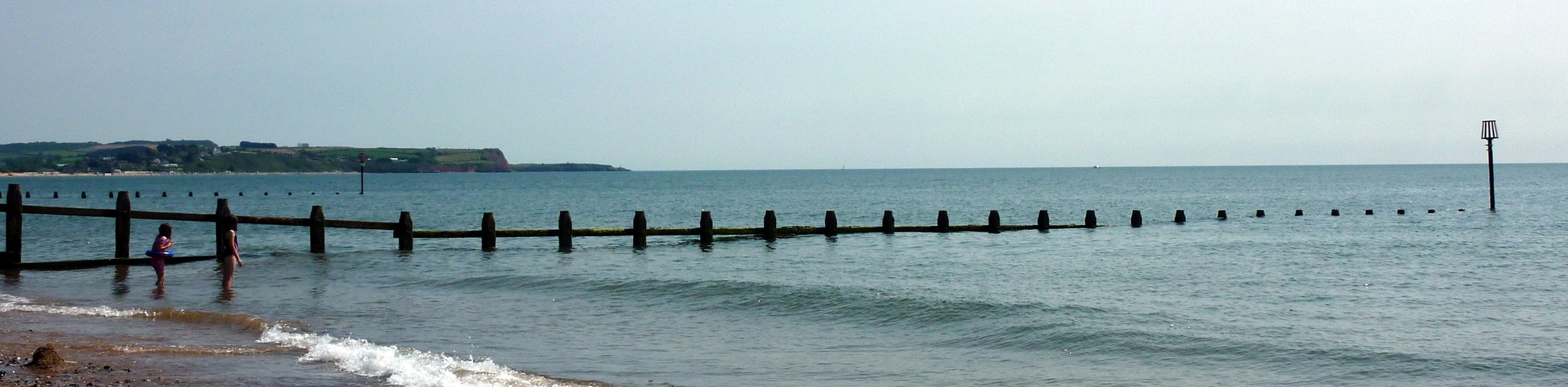
The Exe Valley Way is a long distance walking route in Devon that will expose you to the picturesque countryside. While out walking the trail, you will leave the city behind and traverse open fields, charming bridges, and quiet country lanes to visit the village of Brampford Speke. Terrain along this route isn’t overly challenging, making it perfect for beginner or casual walkers that are after a longer route.
Getting there
To reach the trailhead for the Exe Valley Way from the Exeter St Davids rail station, drive southeast on St. Davids Hill for 0.4mi until you reach the Iron Bridge Inn.

About
| Backcountry Campground | No |
| When to do | March-November |
| Pets allowed | Yes - On Leash |
| Family friendly | Older Children only |
| Route Signage | Average |
| Crowd Levels | Moderate |
| Route Type | Circuit |
Exe Valley Way
Elevation Graph
Weather
Exe Valley Way Trail Description
Aside from the lengthy overall distance, the Exe Valley Way isn’t a very difficult trail; however, there is a bit of elevation gain and some open farm tracks that will need to be traversed throughout the route. Make sure to wear proper walking boots with good support and bring plenty of water and snacks. Keep your dog on a leash when passing through fields, as there may be animals grazing in the areas around the trail.
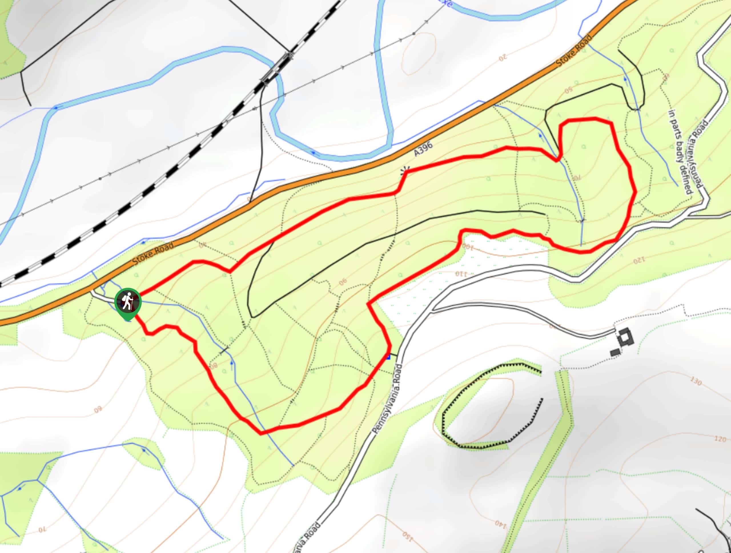
Setting out from the starting point of the walk in Exeter, you will make your way north along A377 and follow it to Crowley Bridge. Here, you will branch off to the northwest to cross over the River Exe and River Creedy before turning to the northeast to leave the city behind. This portion of the walk will see you traverse the picturesque Devon countryside, as you pass through numerous fields on the way to the village of Brampford Speke. Here, you will cross over the River Exe once again and follow its banks to the northeast, traversing the open farmland and following the path southeast to reach the charming village of Stoke Canon. Continue along the loop portion of the walk back to Brampford Speke and make your way to the southwest, passing through Upton Pyne and Trapstile Wood to reach the village of Crowley. From here, head south past the point where the River Creedy joins the River Exe and follow the edge of the water south, eventually crossing over to the opposite bank on the return to the starting point of the walk in Exeter.
Similar hikes to the Exe Valley Way hike
Exmouth and Dawlish Warren Walk
Walking the Exmouth and Dawlish Warren Trail is a beautifully scenic but physically demanding excursion in Devon that will see…
Stoke Woods Circular Walk
The Stoke Woods Circular Walk is a quick and fairly easy adventure near Exeter that will expose you to some…
Ottery Saint Mary Woodland Walk
The Ottery Saint Mary Woodland Walk is a great excursion in Devon that features some relatively easy to manage terrain…
Comments