Exmouth and Dawlish Warren Walk
View Photos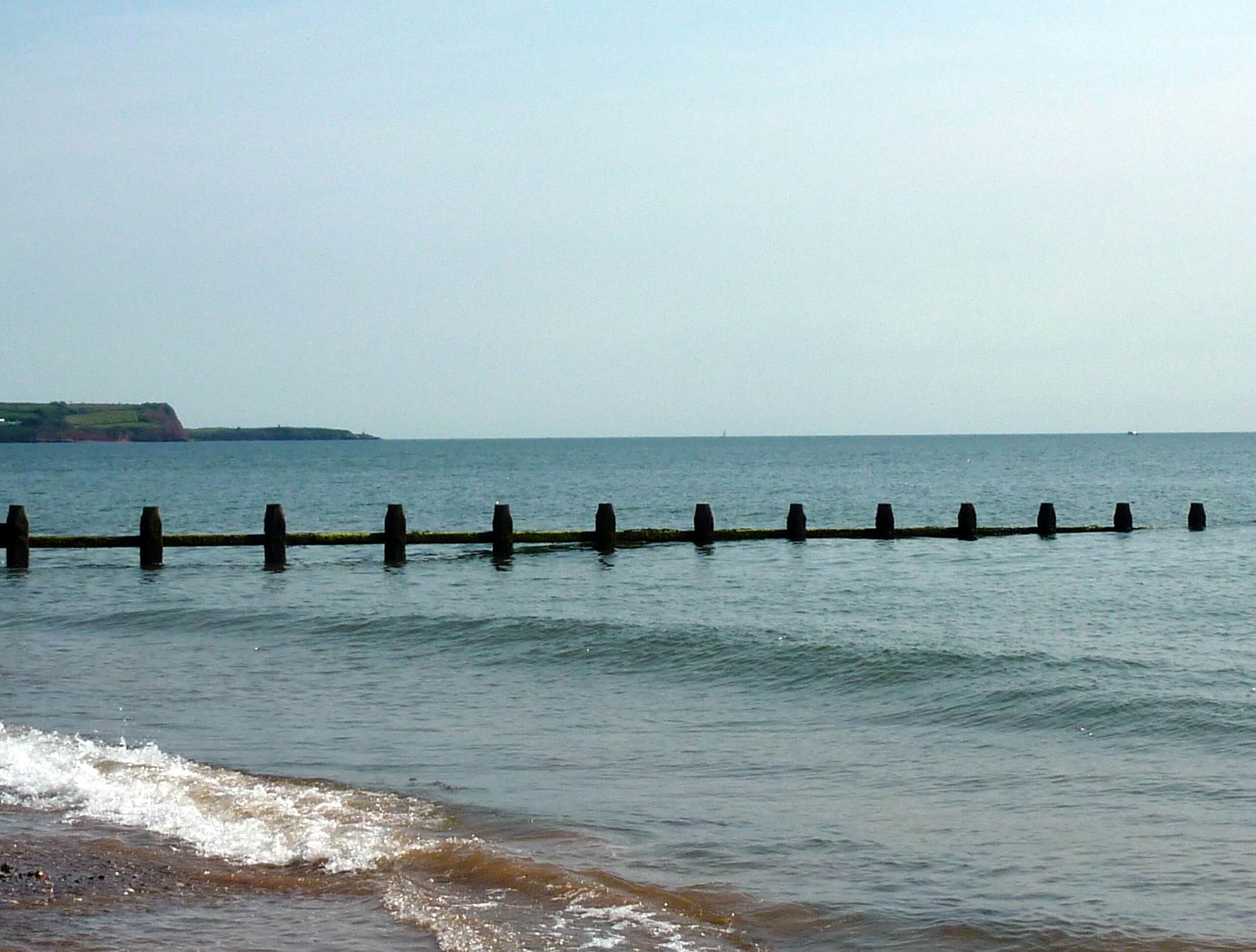
Exmouth and Dawlish Warren Walk
Difficulty Rating:
Walking the Exmouth and Dawlish Warren Trail is a beautifully scenic but physically demanding excursion in Devon that will see you walk for 20.5mi along the edge of the water. The trail will take you from Exmouth and lead you north along the shores of the Exe Estuary, skirting around the southern edge of Exeter on the way to the end-point in Dawlish Warren. This is a one-way trail, so you will need to either arrange a pick up after your walk or take the ferry/train back to the trailhead.
Getting there
To reach the trailhead for the Exmouth and Dawlish Warren Walk from the Exmouth Marina, drive northeast on Victoria Road for 0.3mi and turn left onto Imperial Road. After 315ft, take the third exit at the roundabout to stay on Imperial Road for another 0.1mi before arriving at another roundabout. Take the first exit onto Marine Way, where you will arrive at the trailhead in 266ft.

About
| Backcountry Campground | Dawlish Sands, Hazelwood Park |
| When to do | Year-Round |
| Pets allowed | Yes - On Leash |
| Family friendly | Older Children only |
| Route Signage | Average |
| Crowd Levels | Moderate |
| Route Type | One Way |
Exmouth and Dawlish Warren Walk
Elevation Graph
Weather
Exmouth and Dawlish Warren Walk Description
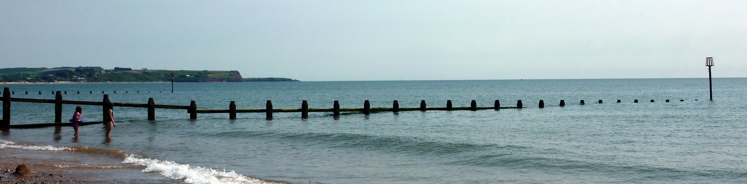
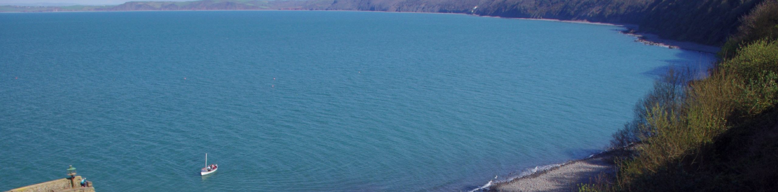
The Exmouth and Dawlish Warren Walk is a very long trek around the shores of the Exe Estuary, and while it is fairly flat and easy to traverse, it will take a considerable amount of time to complete. Make sure to wear very comfortable walking shoes and bring plenty of water and snacks for the walk, although you will also be able to stop along the trail for refreshments if you wish. As this is a multi-use route, keep an eye out for passing cyclists and allow them enough room to safely pass. Additionally, this is a point-to-point trail, meaning that you will need to either arrange a pick up at the end of the route, take the train or ferry back to the trailhead, or spend the night camping at one of the campgrounds near the end-point of the route.
Setting out from the starting point of the walk next to the Exmouth rail station, make your way southwest around the rugby pitch to meet up with the shores of the Exe Estuary, following it north while enjoying beautiful views across the water. Here, you will pass through the village of Lympstone and the town of Topsham before skirting around the southern edge of Exeter. Once you have crossed over the River Exe, you will follow it to the south and continue along the western shore of the Exe Estuary, following it through Starcross and Cockwood to arrive in Dawlish Warren. From here, you will make your way past sandy beaches as you walk out onto the peninsula for some amazing views of the estuary and English Channel. Reaching the end-point of the route, you can take your desired method of transportation back to the trailhead where you began your adventure on the Exmouth and Dawlish Warren Walk.
Similar hikes to the Exmouth and Dawlish Warren Walk hike

Exe Valley Way
The Exe Valley Way is a long distance walking route in Devon that will expose you to the picturesque countryside.…
Tavistock Canal Towpath Walk
Walking the Tavistock Canal Towpath Trail is a fun excursion that will allow you to experience the picturesque Devon countryside…
South West Coast Path: Clovelly to South Hole
The South West Coast Path: Clovelly to South Hole is a challenging section of this famous long-distance route that will…
Comments