Tavistock Canal Towpath Walk
View Photos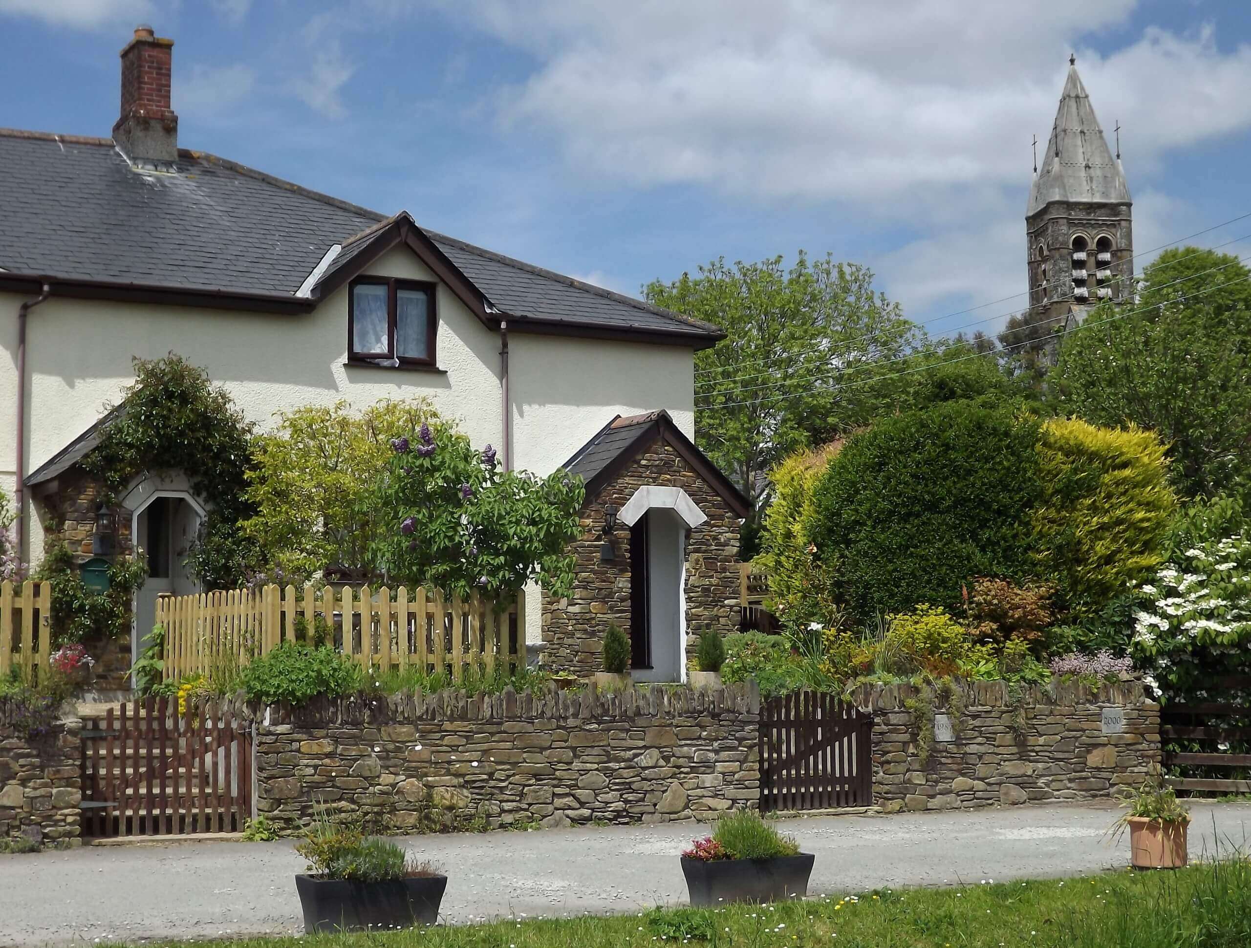
Tavistock Canal Towpath Walk
Difficulty Rating:
Walking the Tavistock Canal Towpath Trail is a fun excursion that will allow you to experience the picturesque Devon countryside and take in some impressive architectural views. While out on the trail, you will walk along the canal as it winds through the countryside and passes the historic Shillamill Viaduct that was constructed in 1889. This is a fantastic walk for those who enjoy the countryside, local history, or beautiful architecture.
Getting there
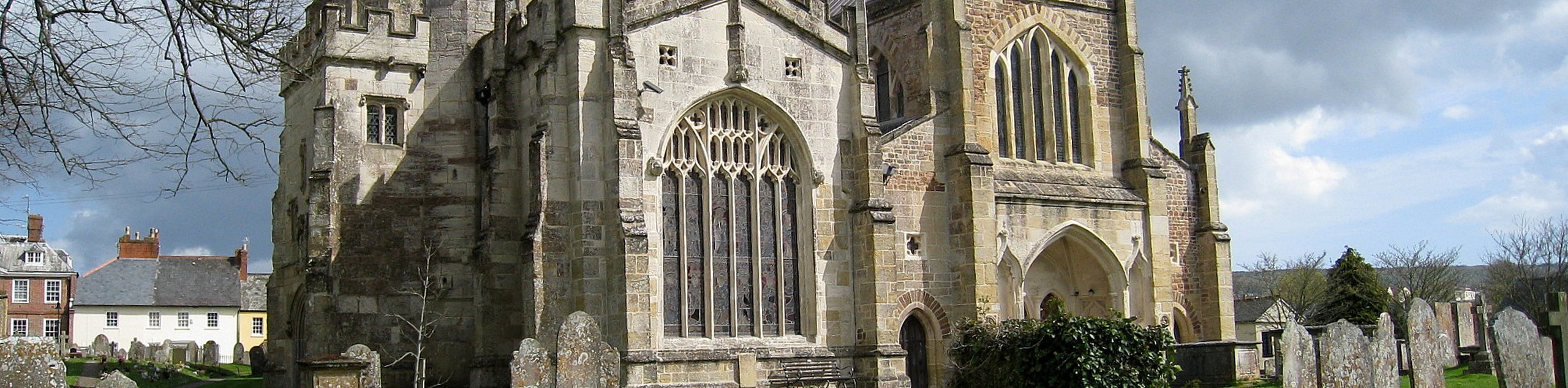
To reach the trailhead for the Tavistock Canal Towpath Walk from the Tavistock Parish Church, head southeast on Bedford Square for 165ft and take the second exit at the roundabout onto Plymouth Road. Follow this for 0.2mi and turn left onto Canal Road, where you will find the car park on the left in 245ft.

About
| Backcountry Campground | No |
| When to do | Year-Round |
| Pets allowed | Yes - On Leash |
| Family friendly | Yes |
| Route Signage | Average |
| Crowd Levels | Moderate |
| Route Type | Out and back |
Tavistock Canal Towpath Walk
Elevation Graph
Weather
Tavistock Canal Towpath Walk Description
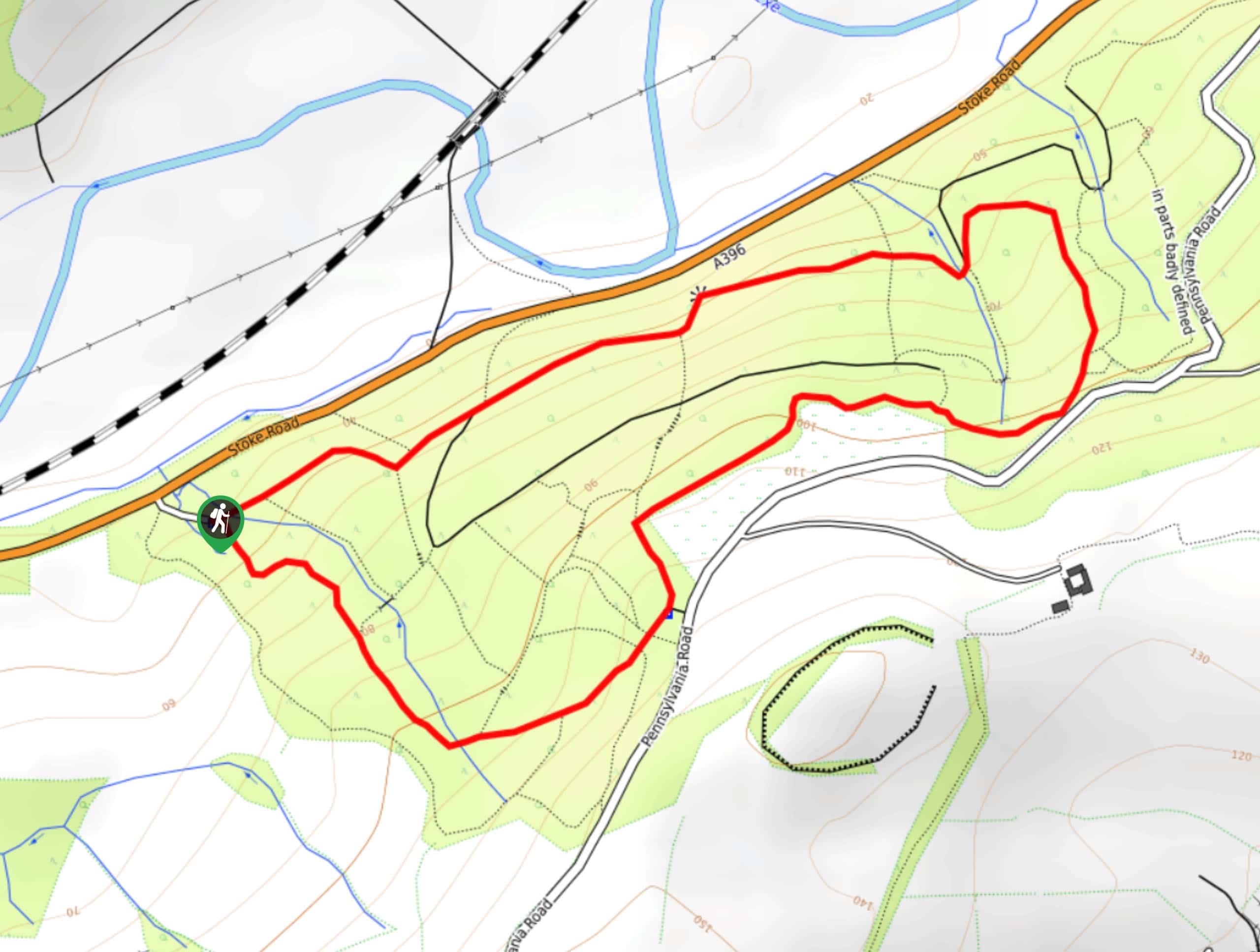
The Tavistock Canal Towpath Walk is a fun adventure along some fairly flat terrain that is suitable for a variety of outdoor enthusiasts, including walkers, dog walkers, cyclists, and trail runners. Be sure to keep an eye out while walking this trail and leave enough room for others to safely pass. Additionally, the path can become a bit muddy after a good rainfall, making water-resistant footwear a good idea if the conditions call for it. Other than that, this is a beautifully scenic route that will make for a great afternoon outdoors in the Devon countryside.
Setting out from the Bedford car park in Tavistock, you will make your way to the southwest along the Tavistock Canal in order to leave the town behind, following along the edge of the water as it cuts through the picturesque farmland of the surrounding area. In the southwest corner of the trail, you will round a corner and walk beneath the impressive structure of the Shillamill Viaduct that features twelve arches and stands 100ft tall at its highest point. From here, you will continue to the northwest until just beyond the end of the canal, at which point, you will turn around and retrace your steps back to the trailhead where you began.
Insider Hints
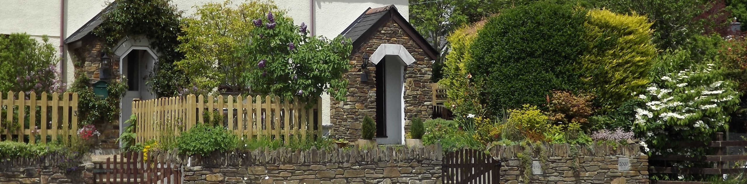
If you’re planning a multi-day retreat, consider staying at The Bedford Hotel, which is situated right in the heart of Tavistock.
Similar hikes to the Tavistock Canal Towpath Walk hike
Exmouth and Dawlish Warren Walk
Walking the Exmouth and Dawlish Warren Trail is a beautifully scenic but physically demanding excursion in Devon that will see…
Stoke Woods Circular Walk
The Stoke Woods Circular Walk is a quick and fairly easy adventure near Exeter that will expose you to some…
Ottery Saint Mary Woodland Walk
The Ottery Saint Mary Woodland Walk is a great excursion in Devon that features some relatively easy to manage terrain…
Comments