
Colaton Raleigh Circular Walk
View Photos
Colaton Raleigh Circular Walk
Difficulty Rating:
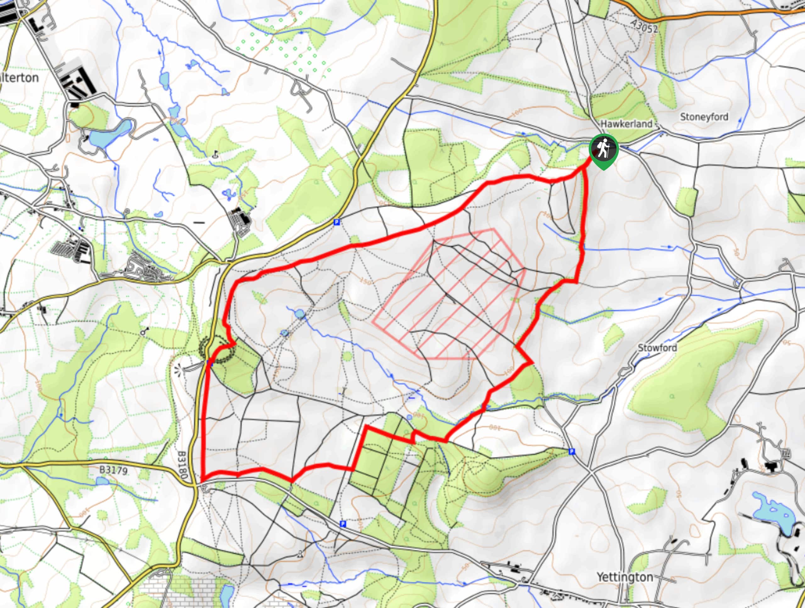
Walking the Colaton Raleigh Circular is a great adventure in Devon that will take you through the moorland and forest terrain that characterizes the landscape in the Colaton Raleigh Commons. While out on the trail, you will traverse the countryside and take in picturesque views of the surrounding area, in addition to visiting the Iron Age hillfort of Woodbury Castle. Be sure to bring a GPS or trail map, as there is a large number of intersecting trails along the route.
Getting there
To reach the trailhead for the Colaton Raleigh Circular Walk from Newton Poppleford, drive southwest on Exmouth Road for 0.3mi and turn right, continuing along the road for 1.2mi. Make a left here to arrive at the trailhead in 50ft.

About
| Backcountry Campground | No |
| When to do | Year-Round |
| Pets allowed | Yes - On Leash |
| Family friendly | Yes |
| Route Signage | Average |
| Crowd Levels | Moderate |
| Route Type | Lollipop |
Colaton Raleigh Circular Walk
Elevation Graph
Weather
Colaton Raleigh Circular Walk Description
The Colaton Raleigh Circular walk is a pleasant route in Devon that will expose you to some beautiful views of the surrounding area; however, the dense system of trails in the area can be a bit tricky to navigate, largely due to the number of intersecting paths along the route. If you are concerned about losing your way while out walking the trail, try bringing a GPS or trail map in order to stay on the correct route. Additionally, there will likely be some uneven terrain underfoot, so be sure to wear comfortable walking shoes with good support.
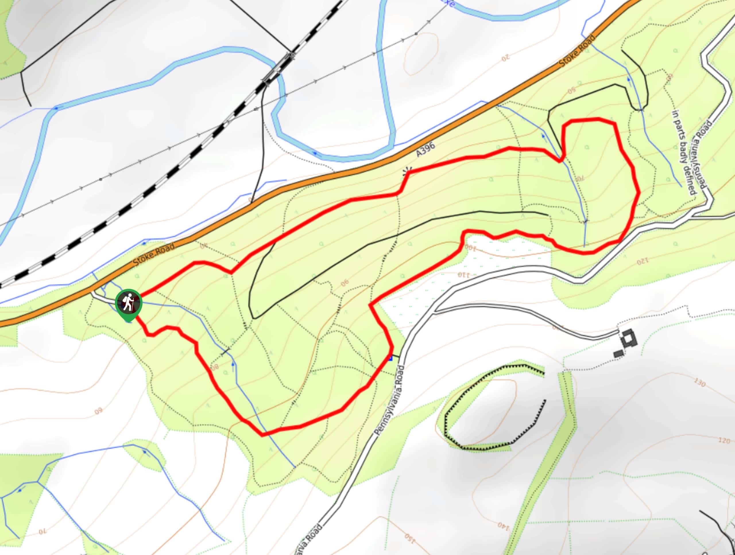
Setting out from the trailhead, you will make your way to the southwest and climb gently uphill across the moor, passing by stretches of woodland terrain of your right. Eventually, the trail will turn more to the south and you will enter into a small wood, climbing further uphill to reach the location of a hillfort known as Woodbury Castle that dates back to the Iron Age. Take some time to explore the site before continuing along the trail to the south. Just before meeting up with a lane, you will turn to the northeast and traverse the undulating landscape, passing through the Uphams Plantation on the way back to the trailhead where you started your journey.
Similar hikes to the Colaton Raleigh Circular Walk hike
Stoke Woods Circular Walk
The Stoke Woods Circular Walk is a quick and fairly easy adventure near Exeter that will expose you to some…
Ottery Saint Mary Woodland Walk
The Ottery Saint Mary Woodland Walk is a great excursion in Devon that features some relatively easy to manage terrain…

Exe Valley Way
The Exe Valley Way is a long distance walking route in Devon that will expose you to the picturesque countryside.…
Comments