South West Coast Path: Clovelly to South Hole
View Photos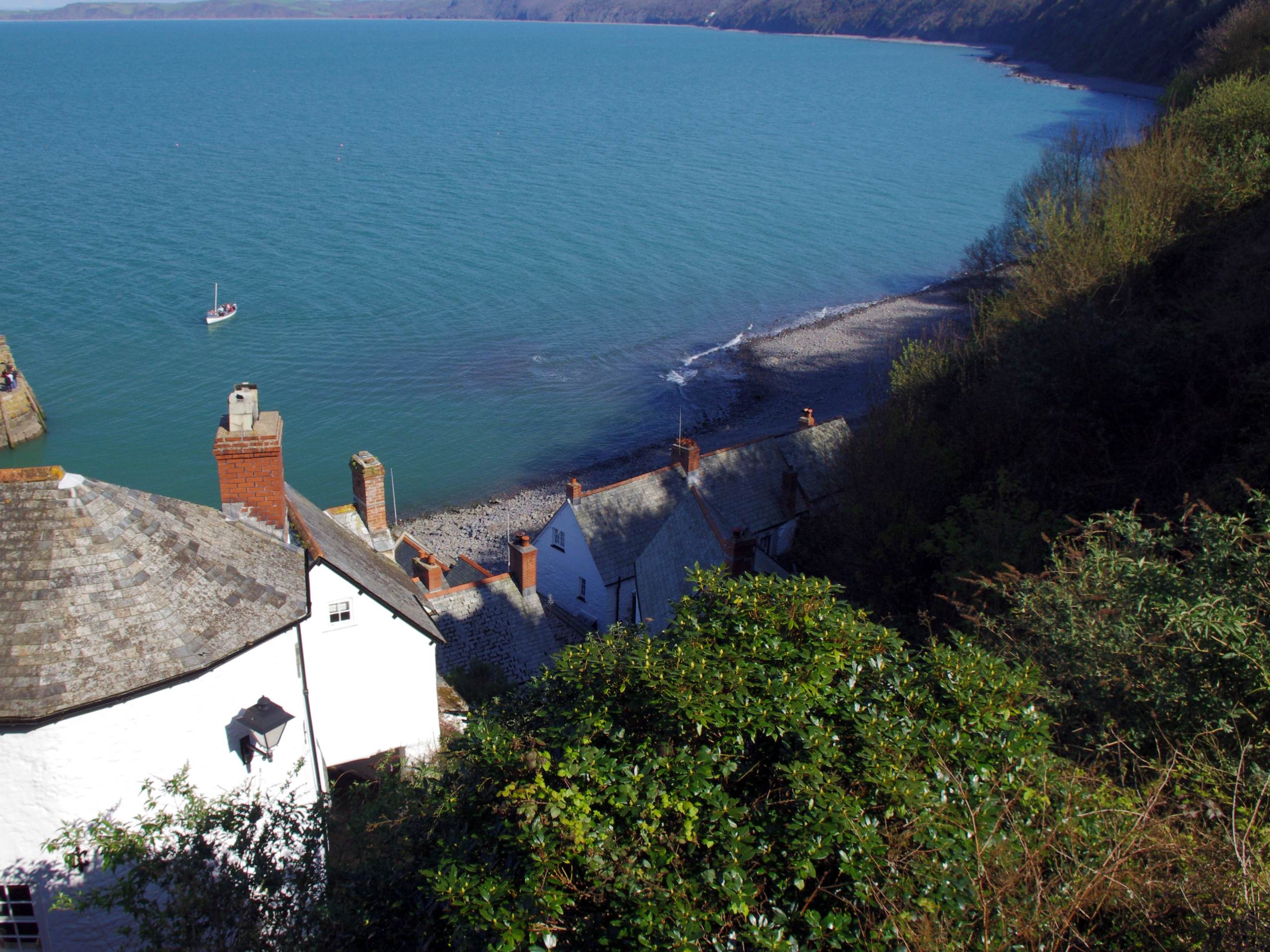
South West Coast Path: Clovelly to South Hole
Difficulty Rating:
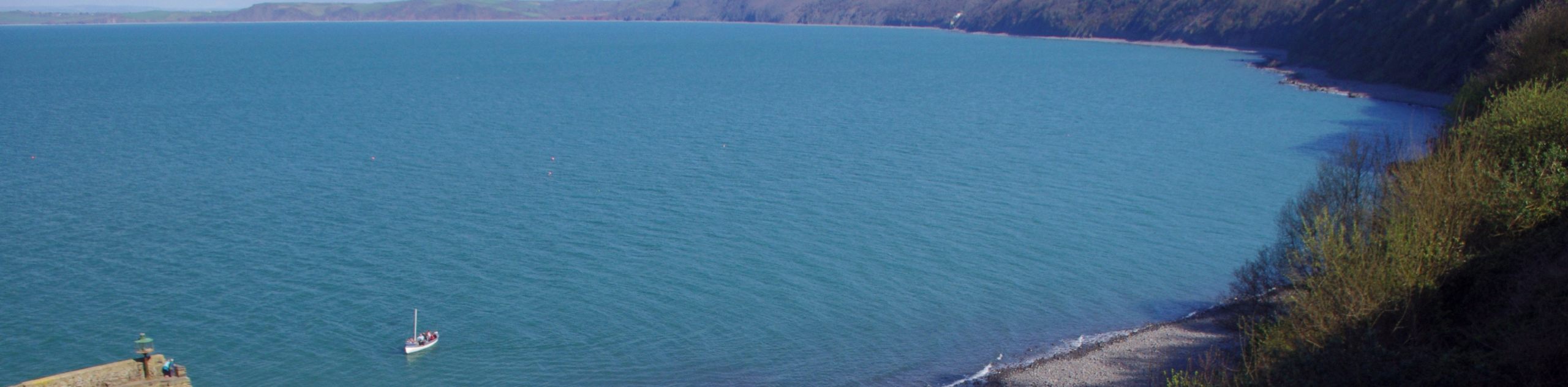
The South West Coast Path: Clovelly to South Hole is a challenging section of this famous long-distance route that will produce some stunning views along the coast. While out walking the trail, you will traverse the rugged cliffs and cleves that characterize the landscape here and make this walk a strenuous one. At least the breathtaking views are a good consolation for your efforts!
Getting there
To reach the South West Coast Path: Clovelly to South Hole trailhead from Hartland, drive east on Fore Street/B3248 for 3.4mi and turn left onto A39, following it for 0.3mi. At the roundabout, take the first exit onto B3237 and continue on for 1.3mi, turning right to enter the car park. The trailhead can be found to the northeast, just beyond the Clovelly Donkey Stables.

About
| Backcountry Campground | No |
| When to do | April-November |
| Pets allowed | Yes - On Leash |
| Family friendly | No |
| Route Signage | Average |
| Crowd Levels | Low |
| Route Type | One Way |
South West Coast Path: Clovelly to South Hole
Elevation Graph
Weather
Clovelly to South Hole Trail Description
Particularly rugged coastal terrain that features cliffs and a number of cleves throughout the route make the South West Coast Path: Clovelly to South Hole section a challenging one. Inclement weather, such as rain and strong winds, can also be a factor here, so make sure to come prepared with proper walking boots and extra layers to protect yourself from the elements. As with each section of this long-distance walking route, if you are not planning on doing the entire length, be sure to arrange a pick up at the end of your walk.
Setting out from the charming fishing village of Clovelly, head to the northwest along the forest cliffside to eventually make your way to the scenic location of Hartland Point. Here, you will enjoy some amazing views across the Bristol Channel that stretch out to Lundy Island on a clear day. After taking in the views, you will follow the trail as it bends to the southwest along the coastline, traversing the rugged terrain, secluded coves, and picturesque beaches that characterize the landscape on the final leg of the walk into South Hole.
Similar hikes to the South West Coast Path: Clovelly to South Hole hike
Exmouth and Dawlish Warren Walk
Walking the Exmouth and Dawlish Warren Trail is a beautifully scenic but physically demanding excursion in Devon that will see…

Exe Valley Way
The Exe Valley Way is a long distance walking route in Devon that will expose you to the picturesque countryside.…
Tavistock Canal Towpath Walk
Walking the Tavistock Canal Towpath Trail is a fun excursion that will allow you to experience the picturesque Devon countryside…
Comments