
Lair o' the Bear Park
View Photos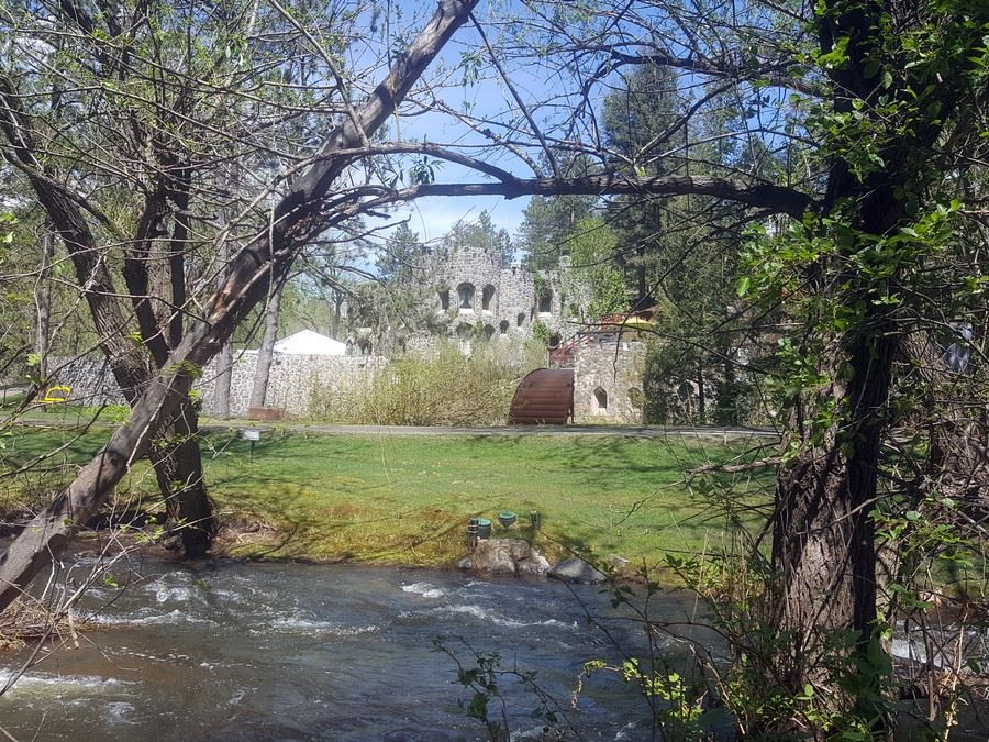
Lair o' the Bear Park
Difficulty Rating:
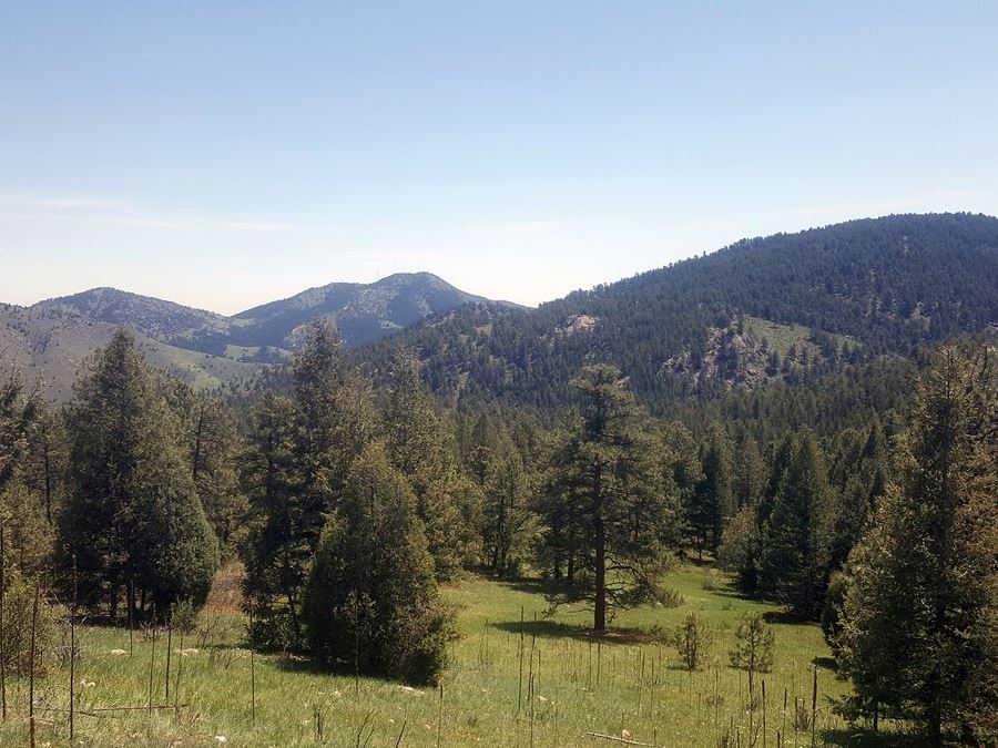
The perfect example of a Colorado trail, Lair o’ the Bear Park provides a great hike through the forest and beautiful views of the snow-capped peaks. This walk also holds a secret: views of the beautifully restored Dunafon Castle!
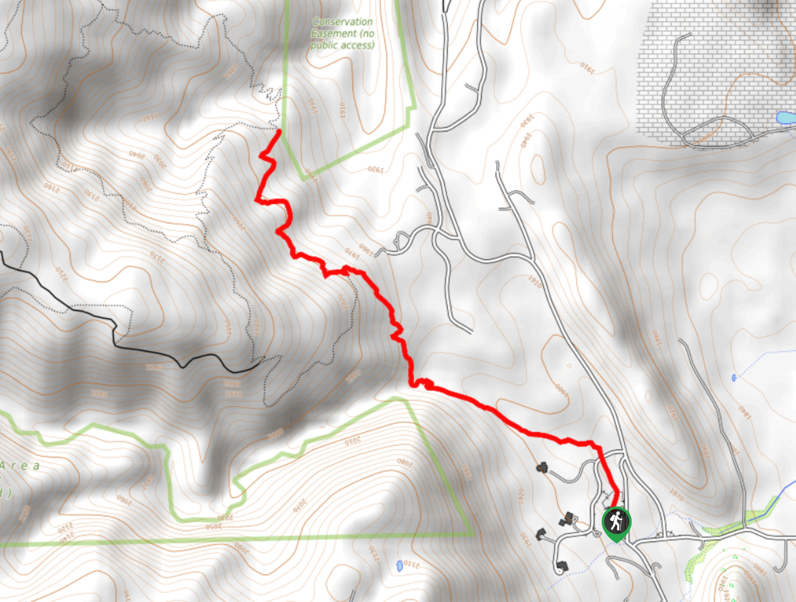
Getting there
From Denver, take I-70 to C-470 east (exit 260), and head south to Exit 4, Morrison (Highway 74). Head west and travel 5.0mi up the canyon to the trailhead on the left clearly marked with “Lair o’ the Bear” open space.

About
| When to do | Year round |
| Backcountry Campsites | No |
| Toilets | Pit toilets at trailhead |
| Pets allowed | Yes - On Leash |
| Family friendly | Yes |
| Route Signage | Average |
| Crowd Levels | Low |
| Route Type | Out and back |
Lair o' the Bear Park
Elevation Graph
Weather
Route Description for Lair o' the Bear Park
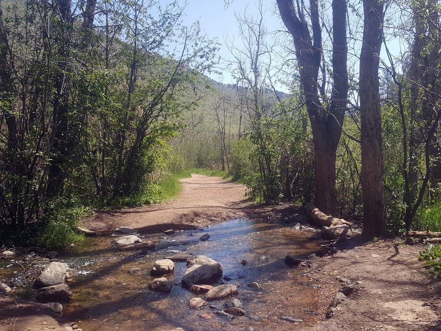
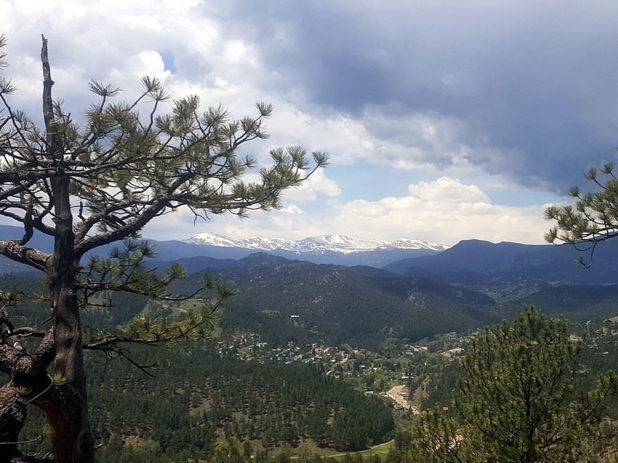
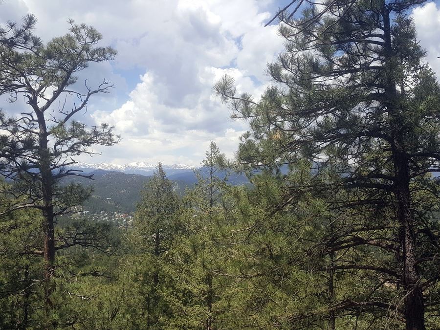
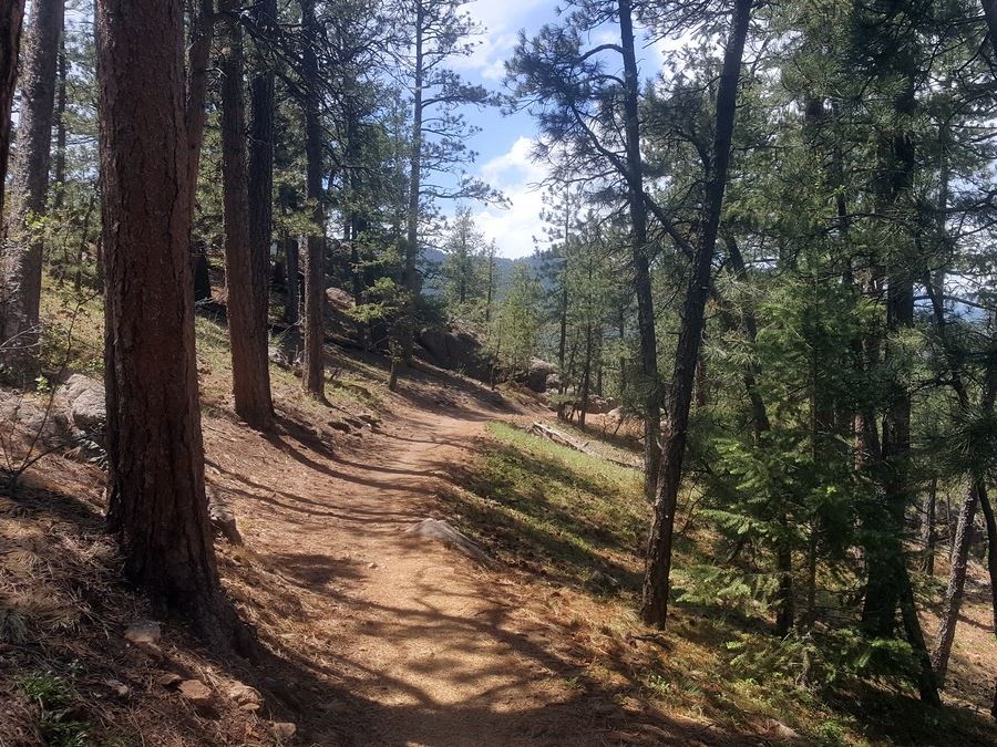
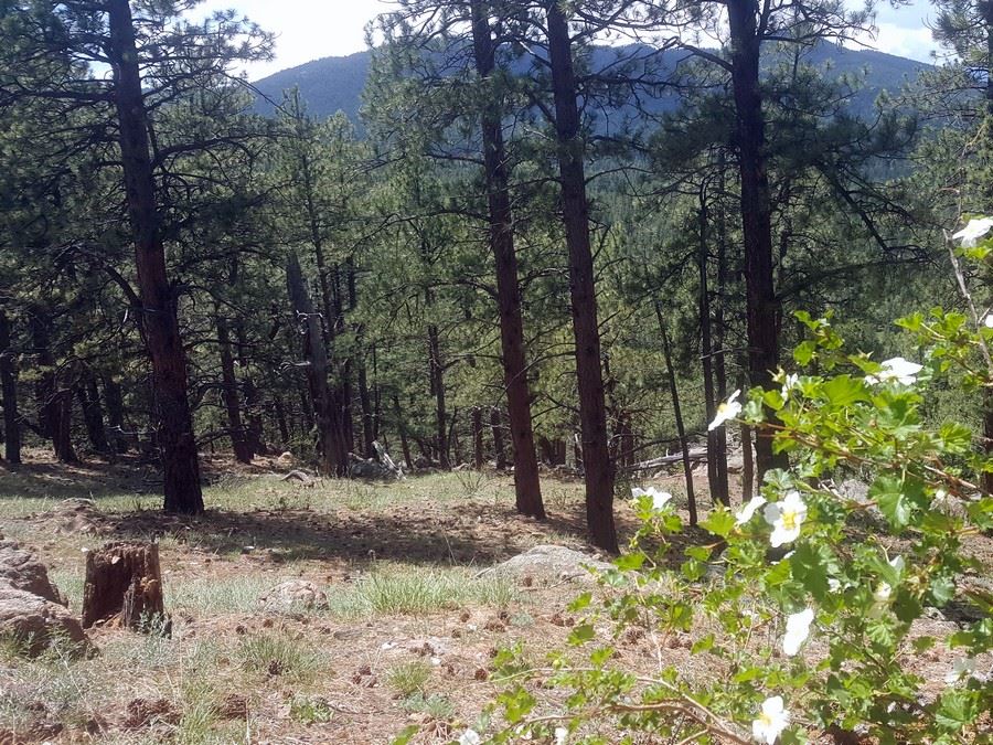
The Lair of the Bear out and back trail follows the river for the first mile and then climbs into the hills ending at the top, at Panorama Point, for panoramic views of Evergreen and the 14ers (mountains over 14000ft) overlooking the skyline.
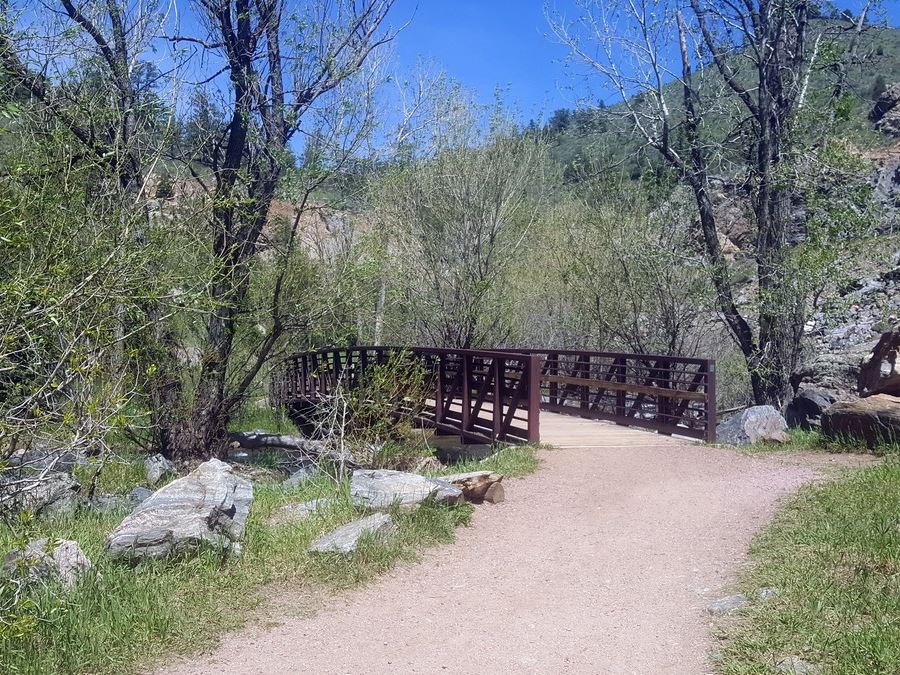
From the parking lot, head west along the river on Bear Creek Trail. You’ll stay on the main trail for a 1.3mi. Although you are hiking below the highway, you can’t tell there are any cars, as the river drowns out the noise. Lining the trail—along with the river—are pine and aspen trees; but pay close attention, you might catch a glimpse of a secret castle! The Dunafon Castle is tucked away from the highway, but from the trail you can see the restored palace for all of its beauty.
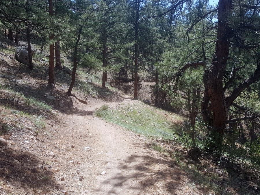
After about a 1.3mi, you make a sharp left, almost a U-turn, staying on the Bear Creek Trail heading into the forest as you start your incline. If you were to continue straight, you would reach another small trailhead and picnic area. There are no other trail junctures until the turnoff for Panorama Point.
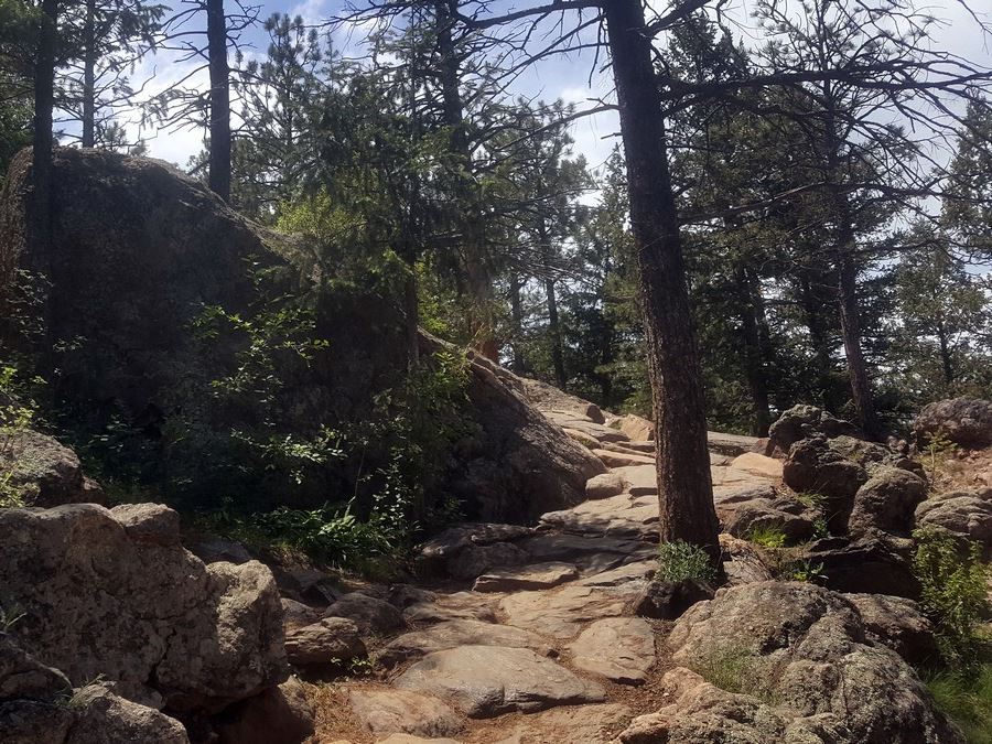
When you reach the Panorama Point Trail at 3.3mi, hang a left at the clearly marked sign. The remaining half-mile to Panorama Point is steep, but it’s worth it. After you take in the view, head back exactly the way you came, mirroring your path.
Check out some other great hikes around Denver:
Insider Hints
Lair o’ Bear park and all its connecting parks is expansive. Since a lot of the trails are point to point, know where you’re hiking to and where you started. Pay mind to all trail signs as you hike.
To still reach Panoramic Point without all the miles try the 2.8mi trail from the Corwina Park Trailhead. To get there, stay on highway 74 for a couple more miles up the canyon and you’ll see the trailhead to the left.
After your hike, find a river access point at the Lair o’ the Bear trailhead just south of the parking lot, take your socks and shoes off and soak your tired feet in the cold river.

Similar hikes to the Lair o' the Bear Park hike

Singletree and Mayhoffer Trail
The Singletree and Mayhoffer Trail is a scenic adventure that will guide adventurers through the lush meadowlands that reveal sights…

Mount Galbraith via Cedar Gulch Trail
The Mount Galbraith via Cedar Gulch Trail is a charming adventure near Golden, Colorado that reveals the beauty and diversity…
Belcher Hill and Whippletree Trail
The Belcher Hill and Whippletree Trail is an exciting adventure—how could it not be with a name like that? The…
TopherSan 4 years ago
The surroundings are so serene, and we had a peaceful walk here. The restored Dunafon Castle was impressive as well.
tesssssaaa 4 years ago
What other hike in Colorado can you find a castle on? So fun! Not very tough either.
Wyatt Thomas 5 years ago
Lair o the Bear is a fun hike.