
Bear Creek Lake Park Hike
View Photos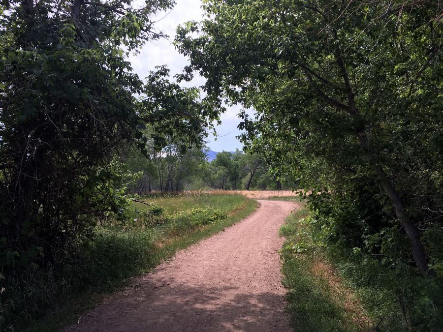
Bear Creek Lake Park Hike
Difficulty Rating:
This city park has activities for the whole family and a peaceful hiking trail to escape the bustling crowds: a walk in nature, nestled in the city.
Getting there
Bear Creek State Park has an entrance fee. To avoid the fee, take I-70 west and exit C-470 east. Take the Morrison exit (exit 4) and make your first right at the gas station. The dirt parking lot on your right is a free lot for those enjoying the park. When exiting C-470, you can turn left instead and enter Bear Creek State Park. After the ticket booth, make your first right and there’s a parking lot right around the corner.

About
| When to do | Year round |
| Backcountry Campsites | No |
| Toilets | Pit toilets |
| Pets allowed | Yes - On Leash |
| Family friendly | Yes |
| Route Signage | Average |
| Crowd Levels | High |
| Route Type | Out and back |
Bear Creek Lake Park Hike
Elevation Graph
Weather
Route Description for Bear Creek Lake Park Hike
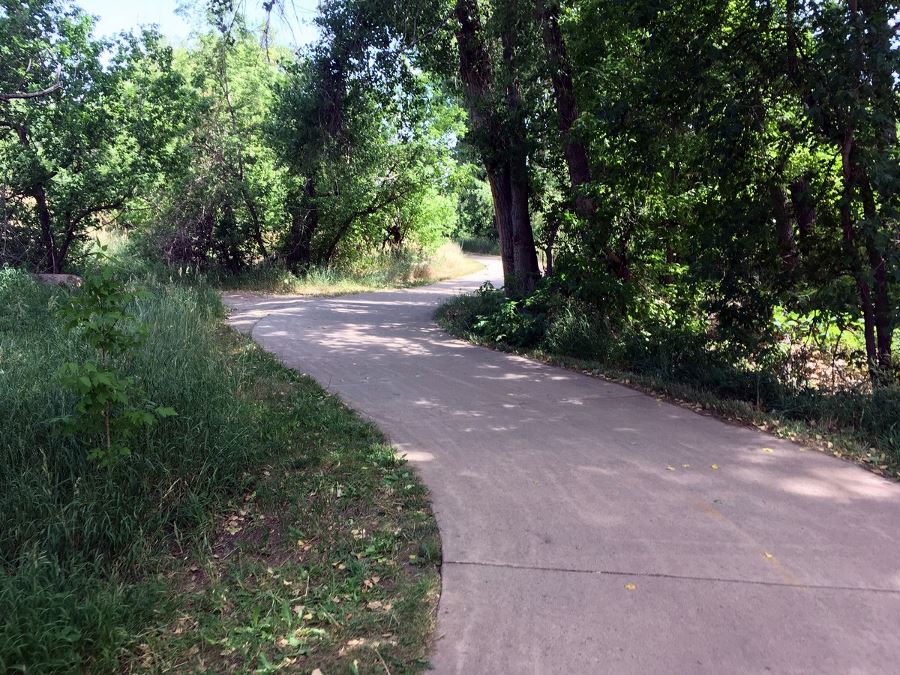
From the free lot, carefully cross the street to the north and enter the trail system by a sidewalk from the road. This is the C-470 bikeway and it goes into the park and up the canyon as well. Make a left, and head east, under the highway leading into the park.
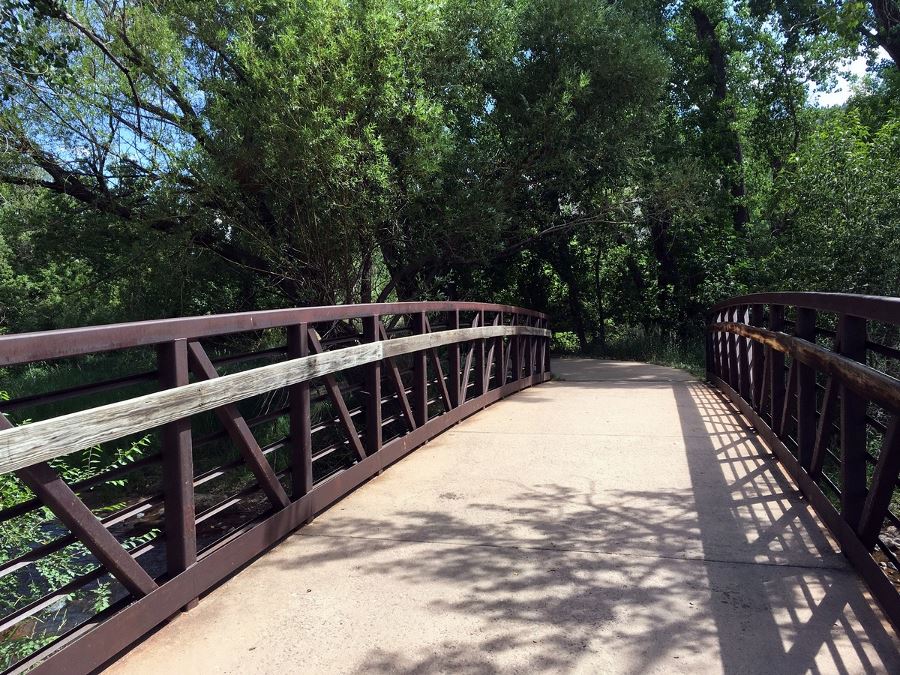
After almost a 0.5mi, the bike path splits and you’ll make right over the river. Make an immediate left onto the dirt trail after the bridge. This short jaunt will take you to the parking that you would park in if you have entered the park.
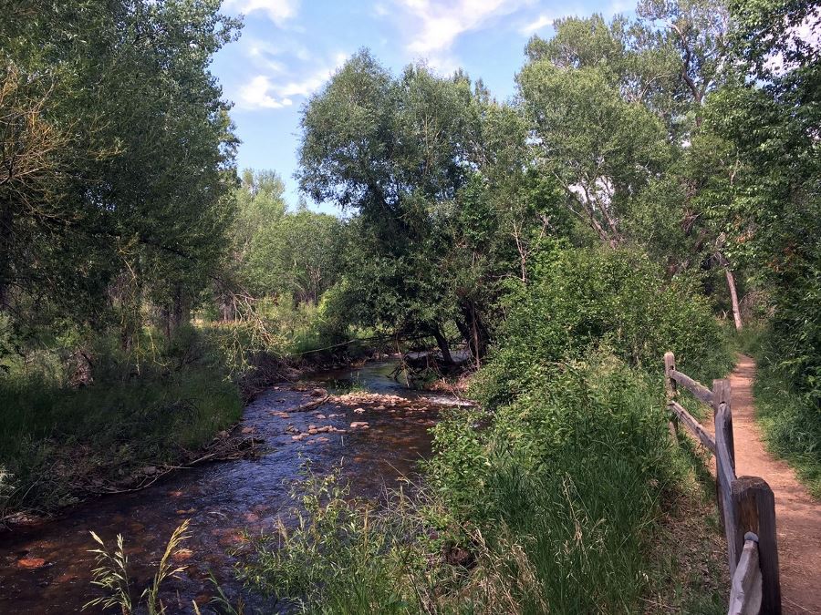
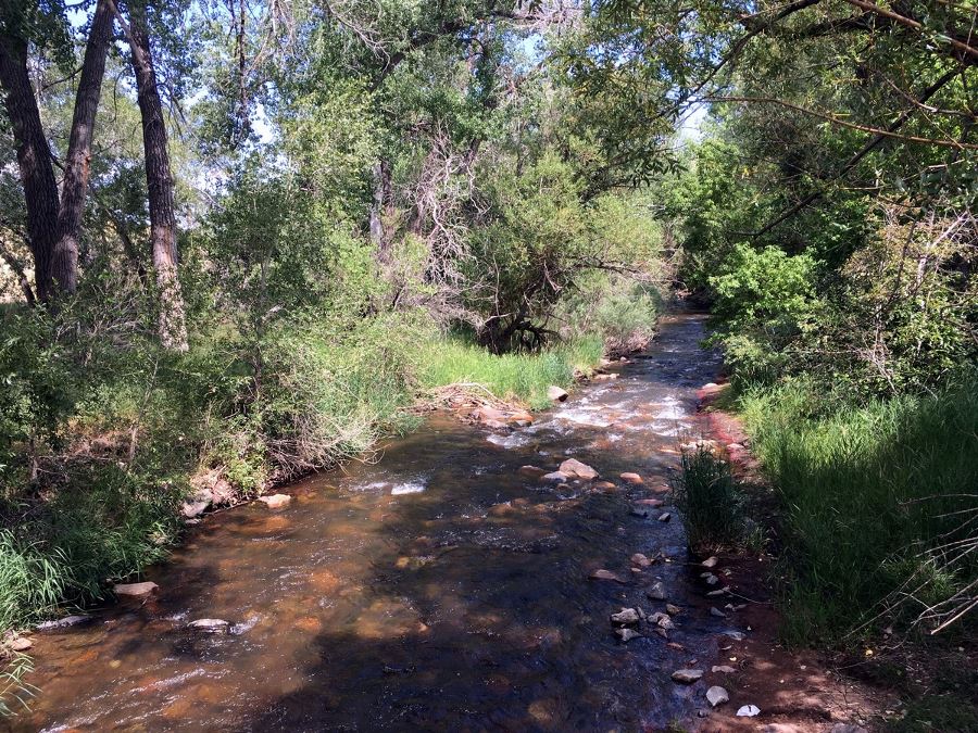
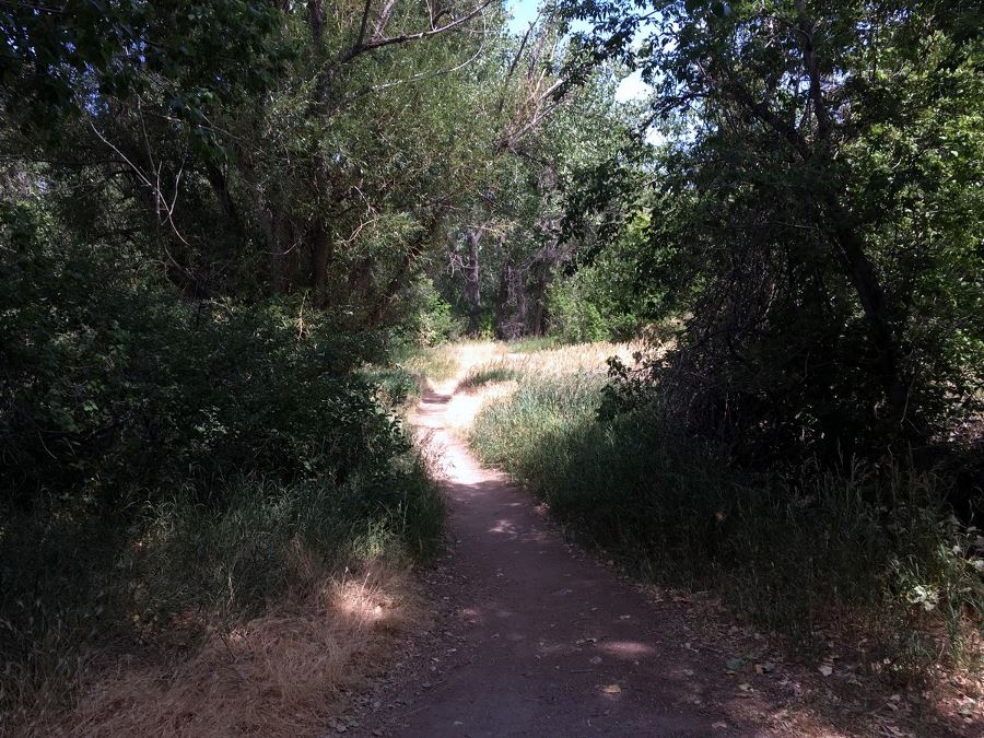
Find the dirt trail that leads to the crosswalk and the trail system on the east side of the road. Follow the signs for the Owl Trail (the middle trail). The trail runs parallel to the river. Enjoy the peaceful, shady walk. You’d never know that all around you are houses and businesses.
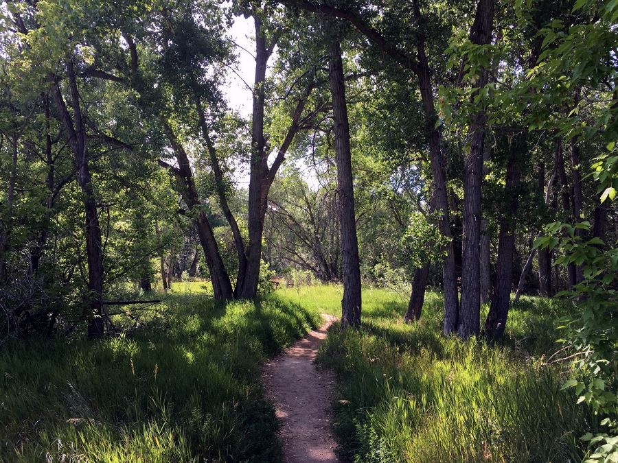
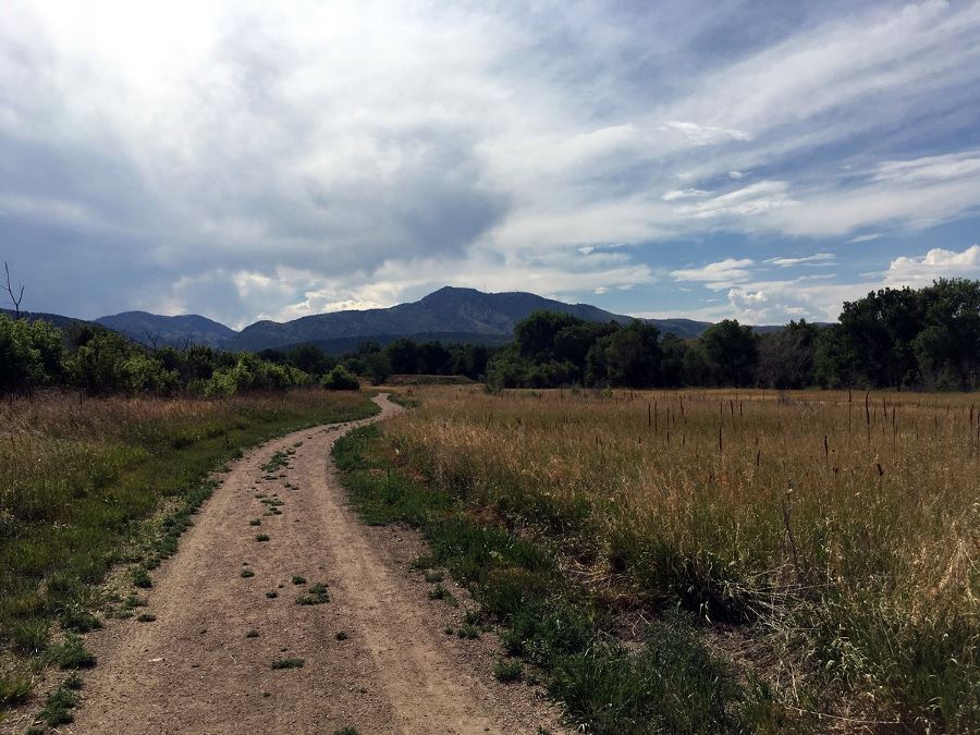
After a 1.3mi, you’ll enter a clearing, traveling through the open meadows. Stay on the Fitness Trail that leads to a larger dirt parking lot at the lake. Walk through the lot to the Bear Creek Lake. Overlooking the Lake is Mount Carbon.
To get back to your car, retrace your steps. You can add more miles by looping to the Cottonwood Trail or the Mt Carbon Loop.
Check out some other great hikes around Denver:
Insider Hints
There are so many activities to enjoy at Bear Creek State Park: camping, swimming, hiking, horseback riding and more! Check it out here.
Another popular trail system just north of Bear Creek is the Hayden-William Green Mountain Park.

Similar hikes to the Bear Creek Lake Park Hike hike
Hidden Fawn Loop Trail
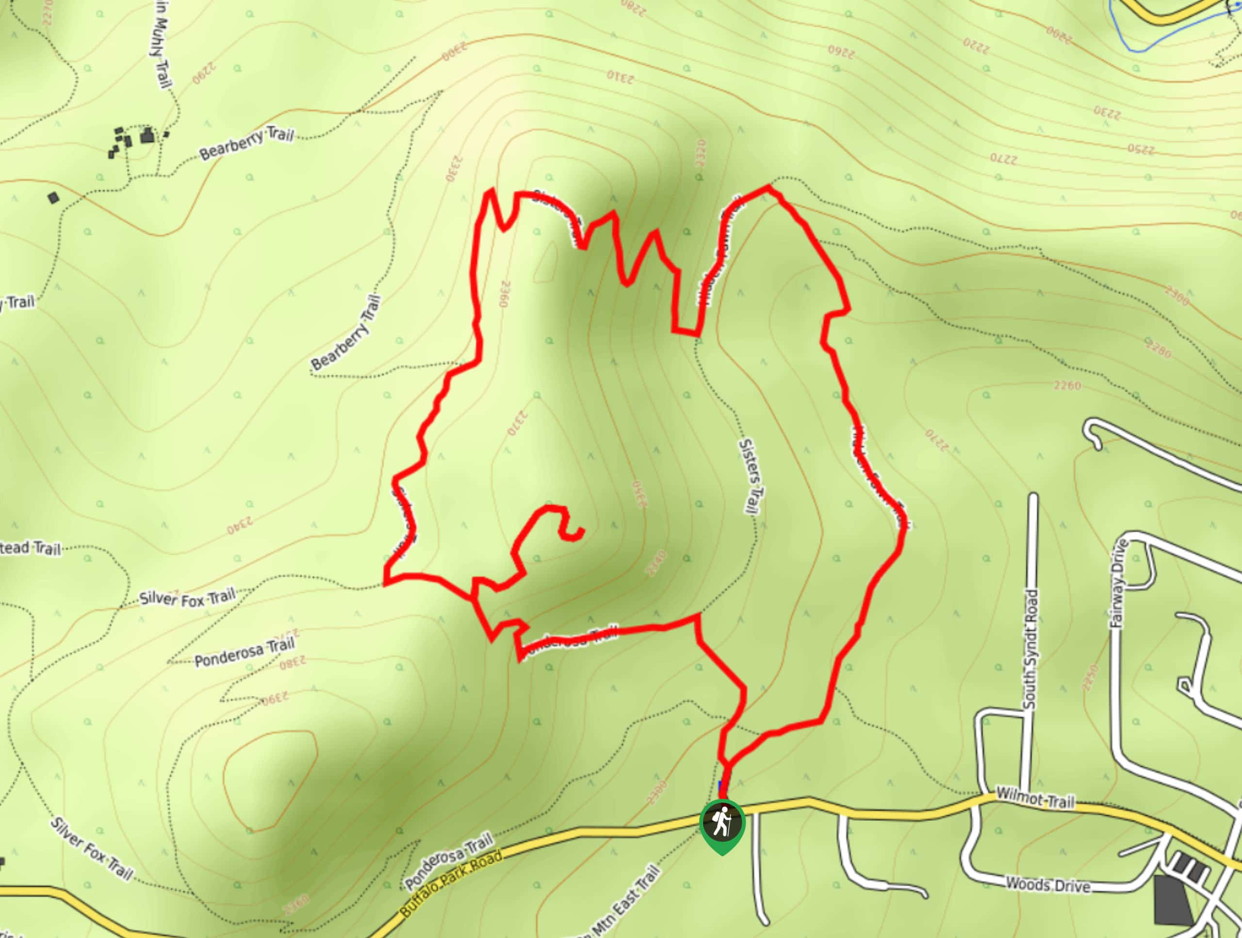
The Hidden Fawn Loop Trail is a lovely meadowland adventure in the Alderfer/Three Sisters Open Space Park. Enjoy sights of…
Green Mountain Loop Hike
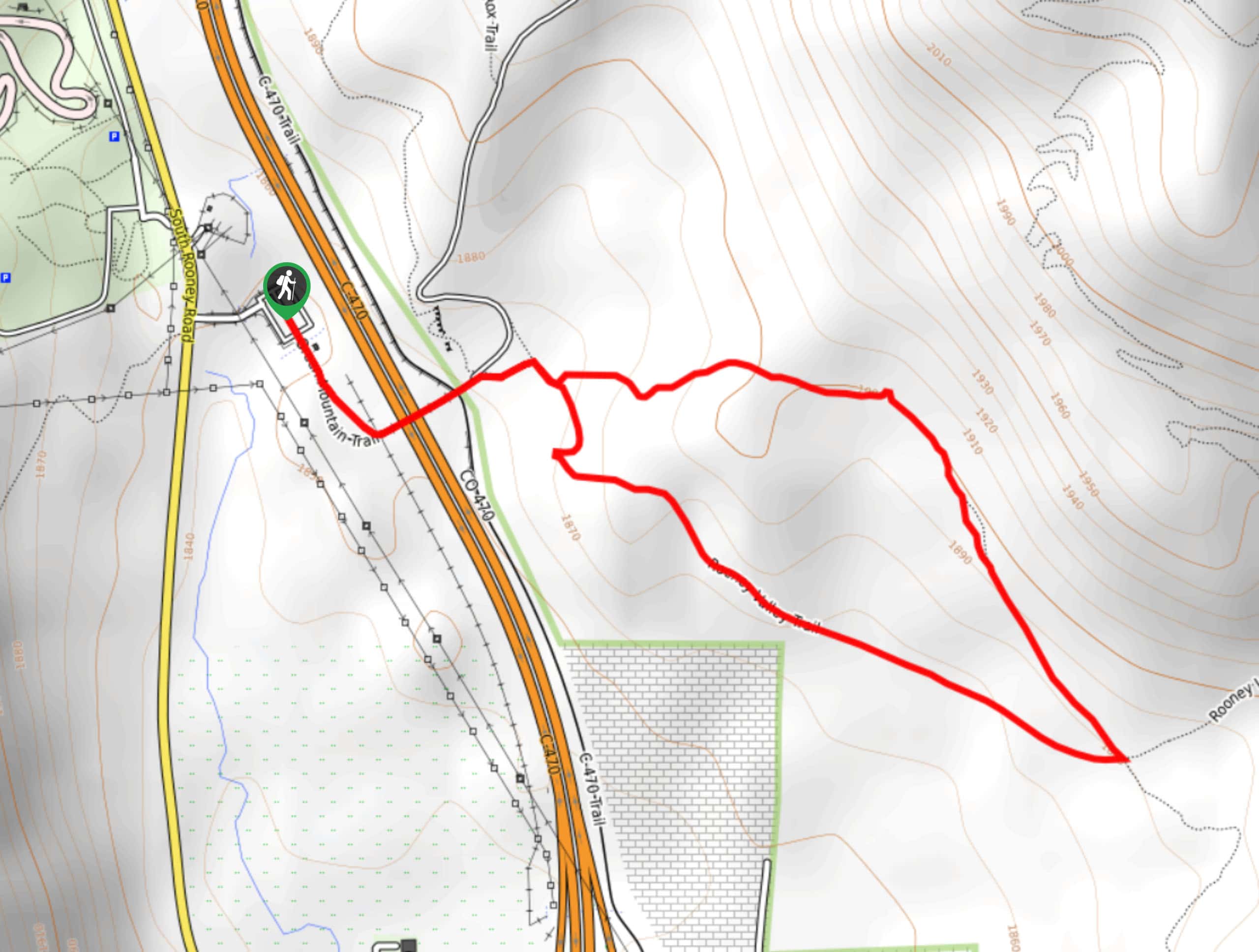
The Green Mountain Loop Hike is a charming nature walk along the base of Green Mountain. Hike through the grassy…
Rocky Mountain Lake Park Loop
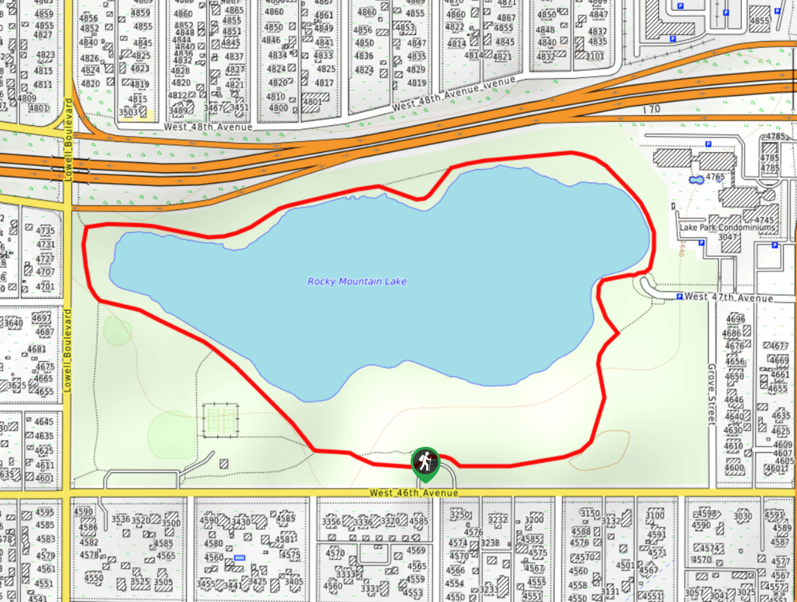
The Rocky Mountain Lake Park Loop will transport you from the city’s center to a lakeside oasis. Hike around the…
marysmith 4 years ago
It's a beautiful walk.
rosevalley 4 years ago
It was an unforgettable hike.
ddiana 5 years ago
Nice park to spend a day or a weekend at if you want to run away from the city with family. Kids loved the horseback riding