
Matthew/Winters Park hike
View Photos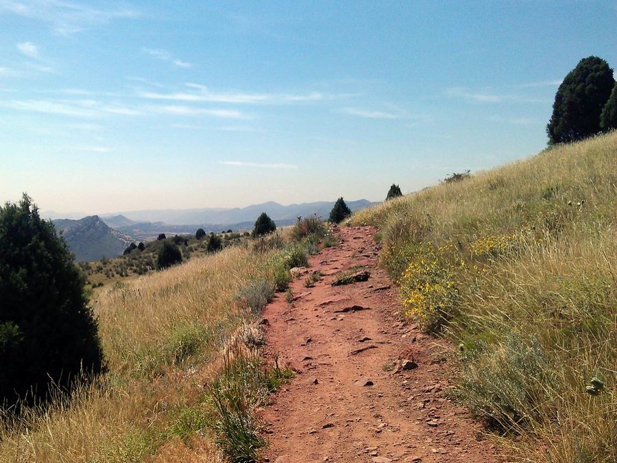
Matthew/Winters Park hike
Difficulty Rating:
Many locals hike to this trail after work or in the morning before heading in to the office. This medium length trail is not too challenging but still gets the heart pumping and is enjoyed by trail runners, bikers, hikers and even those on horseback.
Getting there
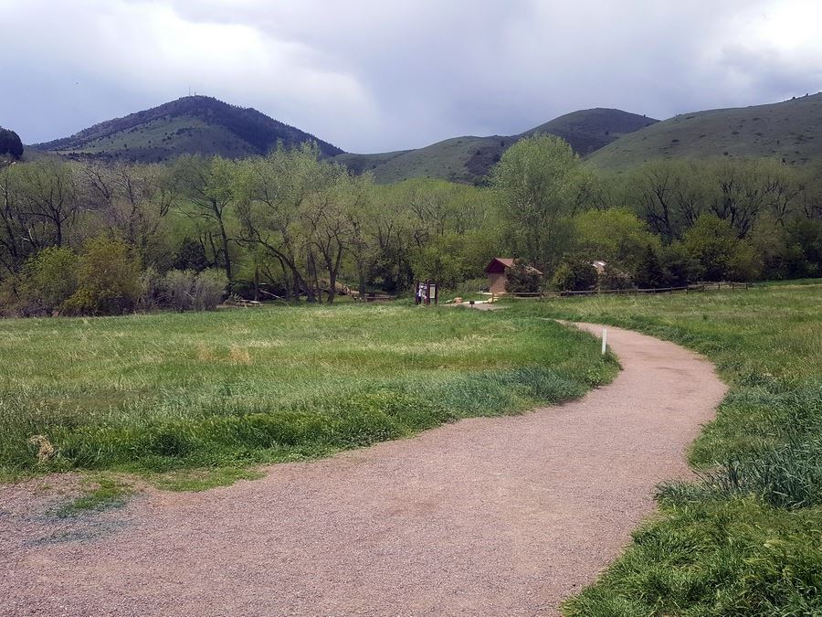
From Denver, head west on I-70 Take exit 259/Morrison (County Road 93). Make a left, head south under the highway and turn right into the Matthew/Winters Parking lot.

About
| When to do | Year round |
| Backcountry Campsites | No |
| Toilets | Pit toilets at trailhead |
| Pets allowed | Yes - On Leash |
| Family friendly | Yes |
| Route Signage | Average |
| Crowd Levels | High |
| Route Type | Lollipop |
Matthew/Winters Park
Elevation Graph
Weather
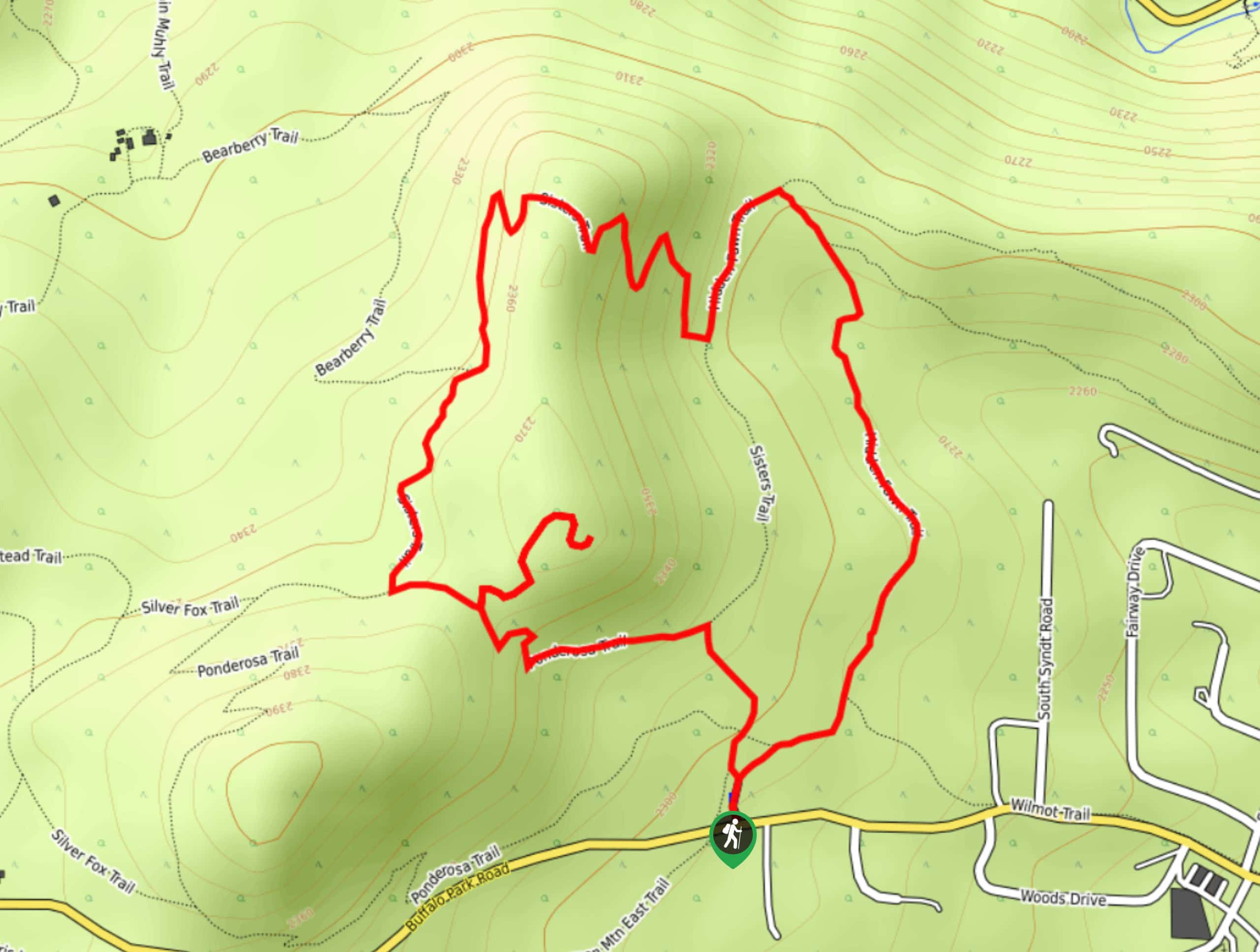
Route Description for Matthew/Winters Park
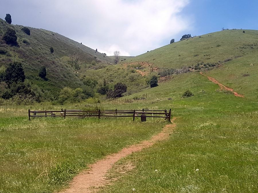
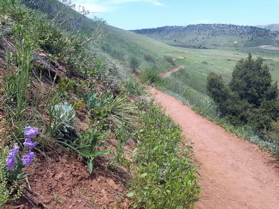
From the parking lot, head south, past the bathrooms and across the river onto the Village Trail Walk. The trail starts with a gradual incline next to an open field. Looking to your left you’ll see Dino Ridge, another frequently enjoyed trail system.
Keep hiking and follow the trail signs for the Red Rocks Trail, toward Cherry Gulch. This is the main trail, no need to turn off. If you look up, you’ll see the switchbacks that you’ll be hiking down on the way back.
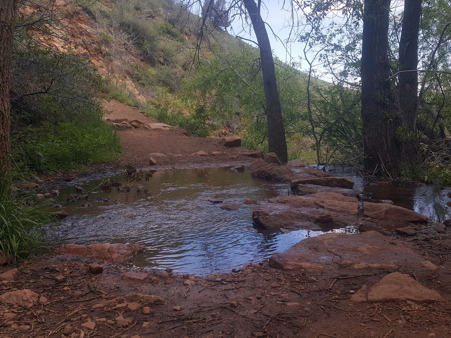
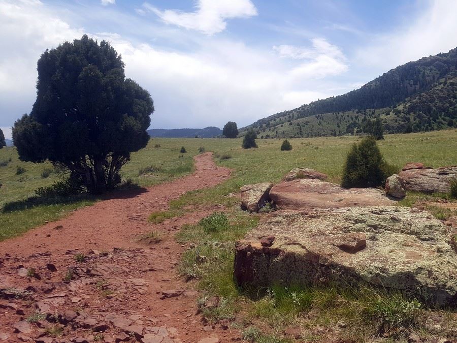
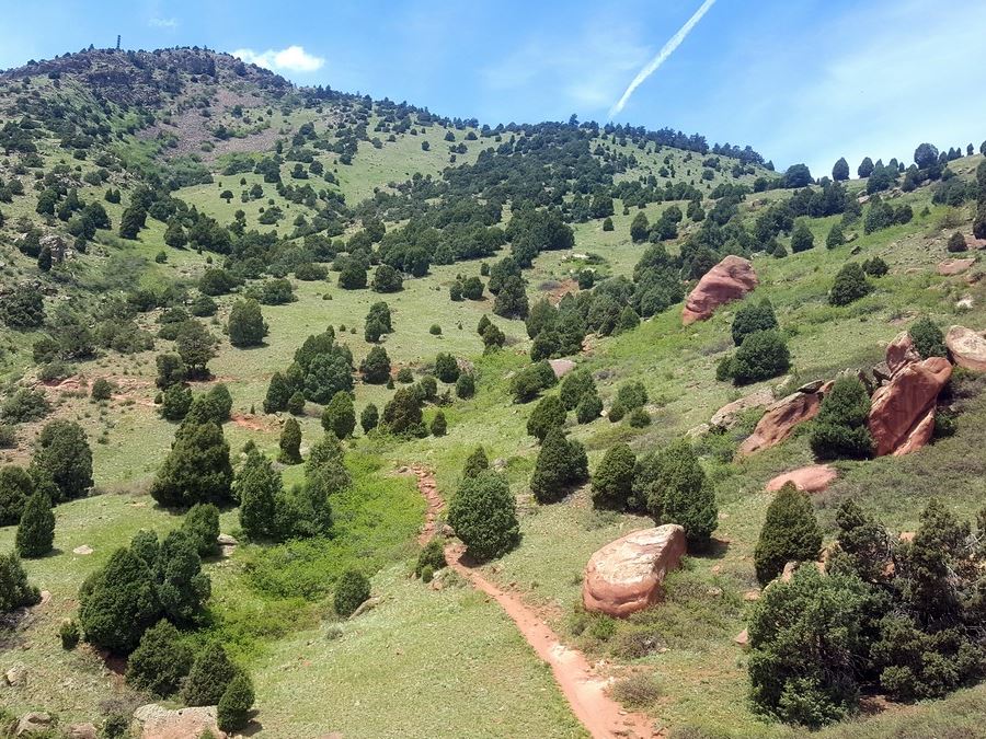
Red Rocks Trail winds around, up and down into Cherry Gulch, a small stream you’ll have to hike through two times. Depending on the time of year, the river can be an easy step over or you’ll have to hop from rock to rock to stay dry.
At the next trail split, stay left on Red Rocks trail; the right trail is the Morrison Slide trail and we will hike down this way. You’ll see another trail split soon after and this time you’ll stay right. The left trail heads back toward the trailhead and is a brand-new trail built in early 2017 to divert some mountain bike traffic.
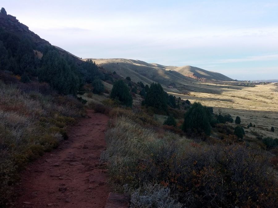
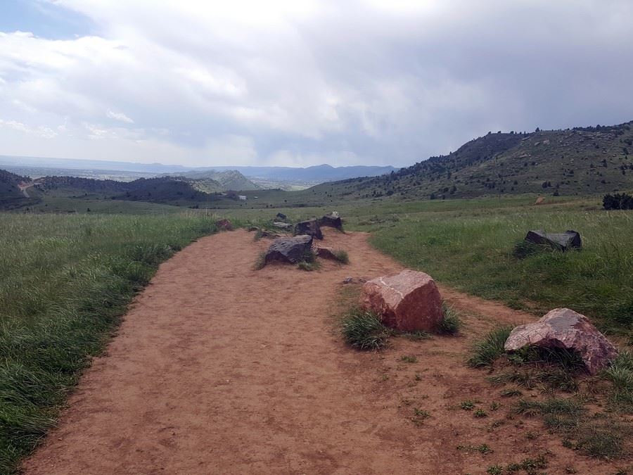
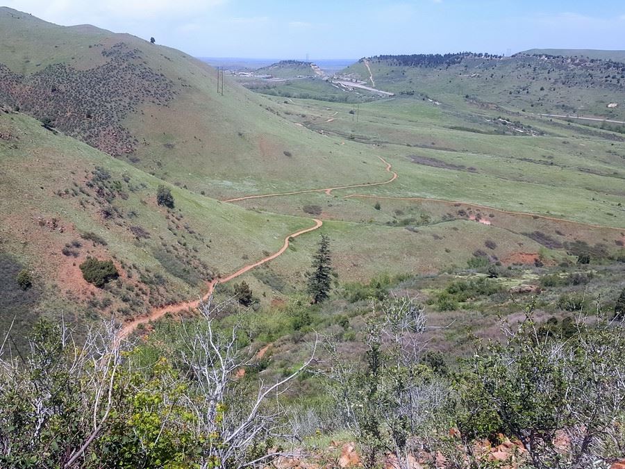
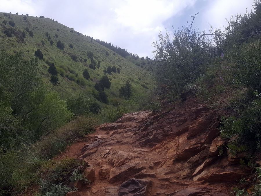
Close to the 2.0mi point, you will traverse over a big rock. This rock will take you down into a gulch. Take care here because the rock can be slippery with loose sand. Stay right, and take the Morrison Slide Trail up the series of switchbacks. Once on top of the mesa, look south, out and over Red Rocks Park and amphitheater as well as the Soda Lakes of Bear Creek State Park. If you look east, you’ll see a view of Dino Ridge and Bear Creek State Park.
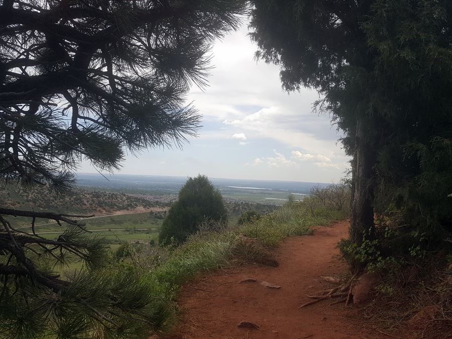
As you continue on the trail, facing north, you’ll see views of Golden’s north and south table mountains. All seasons of the year have unique views and the different colors can be incredible.
You’ll hike down the other side of the Morrison Slide trail and keep going straight at the intersection. This will take you back to Cherry Gulch where you’ll follow the path you hiked in, taking you back to your car.
Check out some other great hikes around Denver:
Insider Hints
Check out Dino Ridge, a history filled hike just across the street where you can see real dinosaur fossils. On the other side of the ridge is the Dinosaur Ridge Visitor’s center.
Beware of snakes at this park during the warm months. Both rattlesnakes and harmless bull snakes are abundant here.
The river near the trailhead has a perfect spot to soak tired feet or legs!
A half mile into the hike, you’ll see a side trail that goes to the old Mount Vernon Cemetery from the 1800’s.

Similar hikes to the Matthew/Winters Park hike

Singletree and Mayhoffer Trail
The Singletree and Mayhoffer Trail is a scenic adventure that will guide adventurers through the lush meadowlands that reveal sights…
Hidden Fawn Loop Trail
The Hidden Fawn Loop Trail is a lovely meadowland adventure in the Alderfer/Three Sisters Open Space Park. Enjoy sights of…

Mount Galbraith via Cedar Gulch Trail
The Mount Galbraith via Cedar Gulch Trail is a charming adventure near Golden, Colorado that reveals the beauty and diversity…
BoulderBound 4 years ago
It was fairly busy but very enjoyable. Great views of red rocks on Morrison slide trail.
mendel 4 years ago
It was a full-packed adventure for the whole family! The scenery was one of a kind. We love it!
jennyspencer 4 years ago
Nice terrain! There are other activities you can do as well.
onoyuki 4 years ago
I enjoyed visiting this area. It was relaxing to see nature!
Annie Smith 5 years ago
Matthew Winters Park is a beautiful hike to start the day!
ddiana 5 years ago
What a nice river, beautiful flowers and nice overlook to the city
Ramiro G. 5 years ago
We've had a great day there. We were told to be aware of the snakes but we didn't see any.