Saddle Tor Walk
View Photos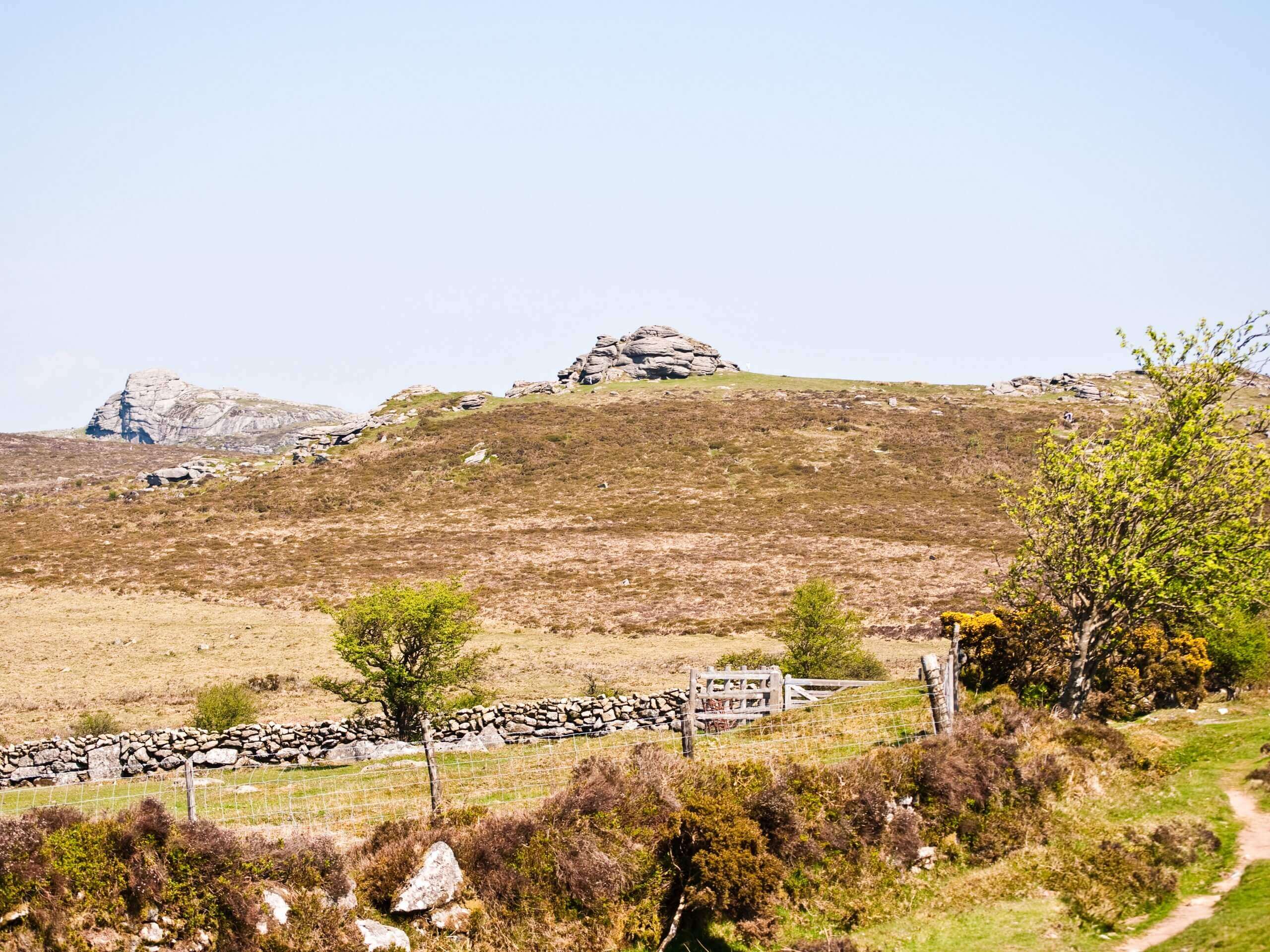
Saddle Tor Walk
Difficulty Rating:
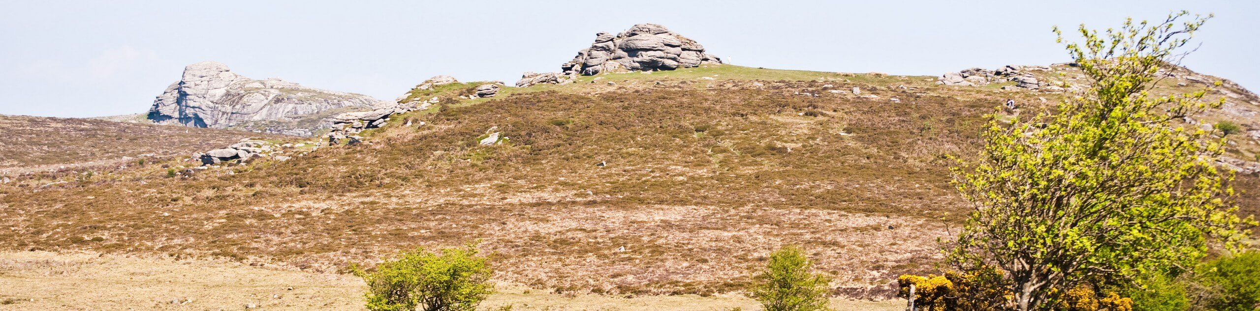
The Saddle Tor Walk is a great adventure in Dartmoor National Park that offers beautiful views across the moor and is suitable for walkers of nearly every skill level. While out on the trail, you will work your way up the hillside to a prominent rock formation with a commanding sightline of the surrounding area. There is a short amount of uphill walking to reach the viewpoint at the summit, so be sure to wear comfortable walking shoes.
Getting there
To reach the trailhead for the Saddle Tor Walk from Haytor Vale, drive to the southwest along B3387 for 1.1mi and turn right to enter the car park.

About
| When to do | Year-Round |
| Backcountry Campsites | No |
| Pets allowed | Yes - On Leash |
| Family friendly | Yes |
| Route Signage | Average |
| Crowd Levels | Moderate |
| Route Type | Out and back |
Saddle Tor Walk
Elevation Graph
Weather
Saddle Tor Walk Description
While it may only be a short jaunt across the rugged terrain of the moor, the Saddle Tor Walk is a fantastic experience that will allow you to take in the natural beauty of Dartmoor National Park. Setting out from the car park, you will make your way to the west to begin your ascent of the hillside, traversing the rocky terrain until you arrive at the summit viewpoint. Here, you will have sweeping views than fan out in every direction and include the Haytor Rocks to the northeast. After taking in the views, head back down along the same trail to return to the car park.
Similar hikes to the Saddle Tor Walk hike

Shipley Bridge and Avon Dam Reservoir Walk
Located in the southern part of Dartmoor National Park, the Shipley Bridge and Avon Dam Reservoir Walk is a lovely…

The Sherlock Holmes Track
The Sherlock Holmes Track is a fun adventure in the southeast corner of Dartmoor National Park that will take you…

Ryder’s Hill via Sandy Way Trail
The Ryder’s Hill via Sandy Way Trail is a beautiful walking route in Dartmoor National Park that will lead you…
Comments