

The Sherlock Holmes Track
View Photos
The Sherlock Holmes Track
Difficulty Rating:
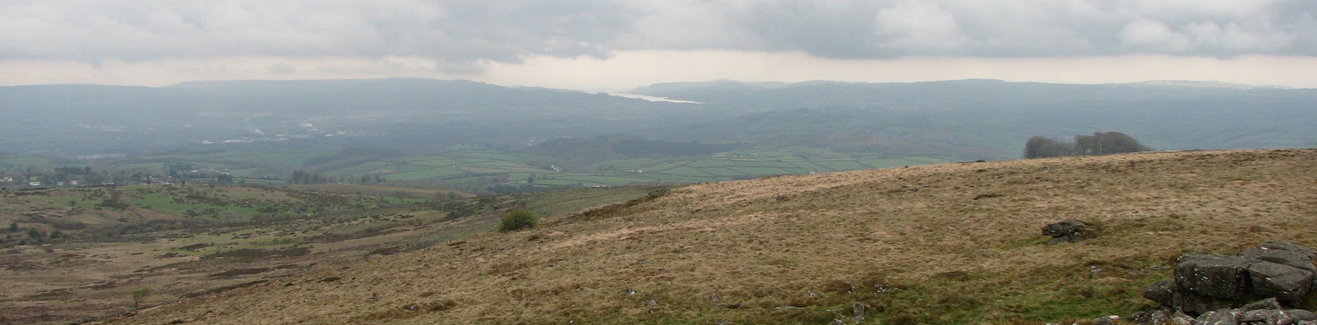
The Sherlock Holmes Track is a fun adventure in the southeast corner of Dartmoor National Park that will take you between the historic Buckfast Abbey and the charming village of Buckfastleigh. While out on the trail, you will make your way across the rolling hills of the surrounding countryside to walk through the village before climbing a steep set of stairs to reach the Holy Trinity Church that served as inspiration for Sir Arthur Conan Doyle’s “Hound of the Baskervilles”. This is a great walk for all ages and skill levels.
Getting there
To reach the trailhead for The Sherlock Holmes Track from Buckfastleigh, drive north on Mardle Way for 0.3mi and continue straight onto Holne Road for another 0.3mi. Keep straight onto Higher Mill Lane and follow it for 0.4mi, turning left to enter the car park.

About
| Backcountry Campground | Churchill Farm Campsite |
| When to do | Year-Round |
| Pets allowed | Yes - On Leash |
| Family friendly | Yes |
| Route Signage | Average |
| Crowd Levels | Moderate |
| Route Type | Circuit |
The Sherlock Holmes Track
Elevation Graph
Weather
The Sherlock Holmes Track Description
Walking the Sherlock Holmes Track is a popular activity in Buckfastleigh, as it allows you to explore the rich history of the village, its buildings, and its influence on the works of Sir Arthur Conan Doyle. Setting out from the trailhead at the historic Buckfast Abbey, you will head to the southwest and make your way across the picturesque farm fields to eventually arrive in the village of Buckfastleigh. Once there, you will head east and make your way through the charming streets, eventually crossing over the River Mardle near the Orchard Millenium Green. Head to the north and climb your way uphill to the Holy Trinity Church, which is supposedly haunted and provided some of the inspiration for Sherlock Holmes. From here, continue on to the north and follow the road back to the end point of the trail at Buckfast Abbey.
Similar hikes to the The Sherlock Holmes Track hike

Shipley Bridge and Avon Dam Reservoir Walk
Located in the southern part of Dartmoor National Park, the Shipley Bridge and Avon Dam Reservoir Walk is a lovely…

Ryder’s Hill via Sandy Way Trail
The Ryder’s Hill via Sandy Way Trail is a beautiful walking route in Dartmoor National Park that will lead you…
Rippon Tor and Pil Tor Walk
The walk up Rippon Tor and Pil Tor is a fun journey that won’t take you very long, but will…
Comments