King’s Tor Walk
View Photos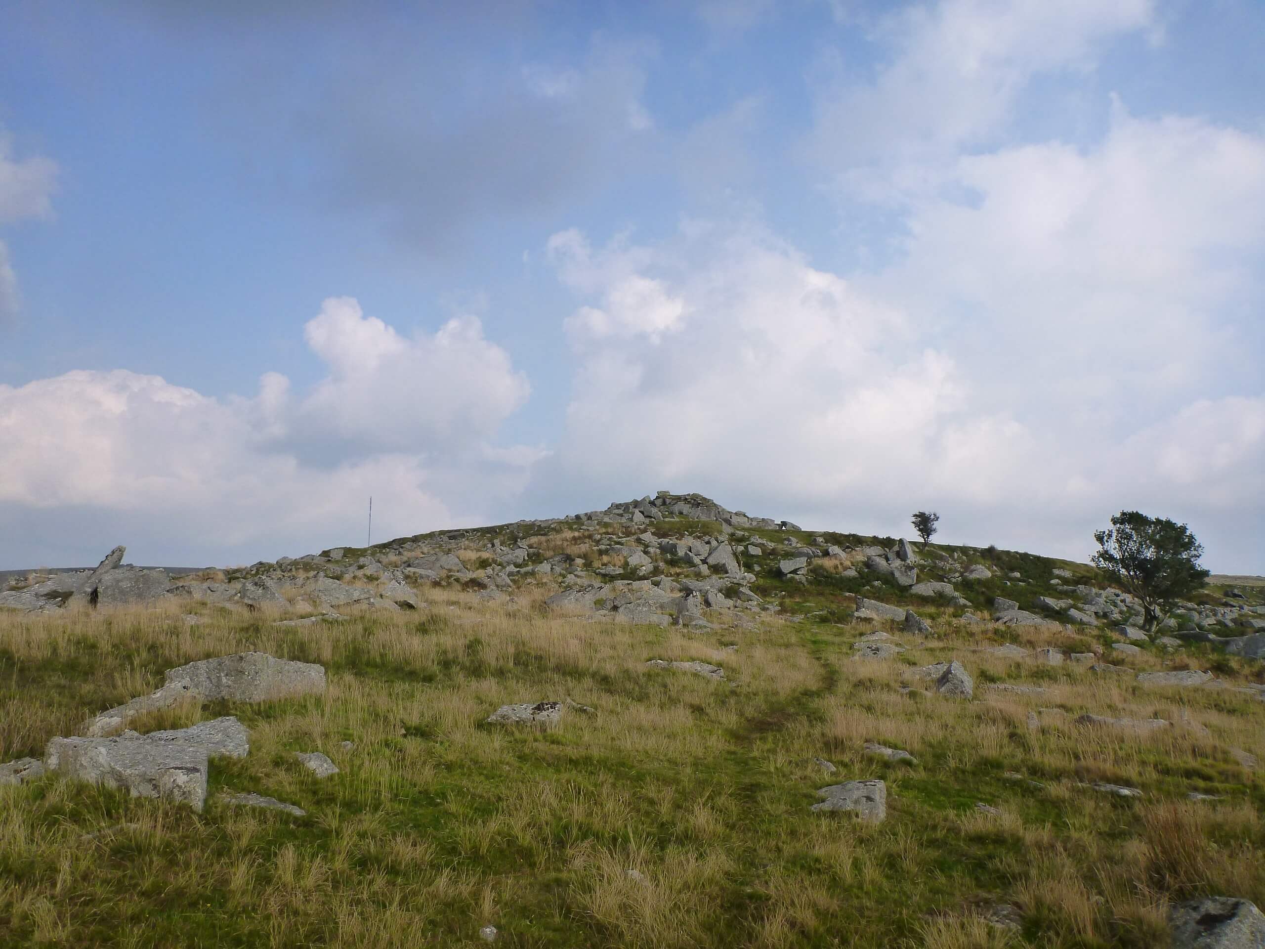
King’s Tor Walk
Difficulty Rating:
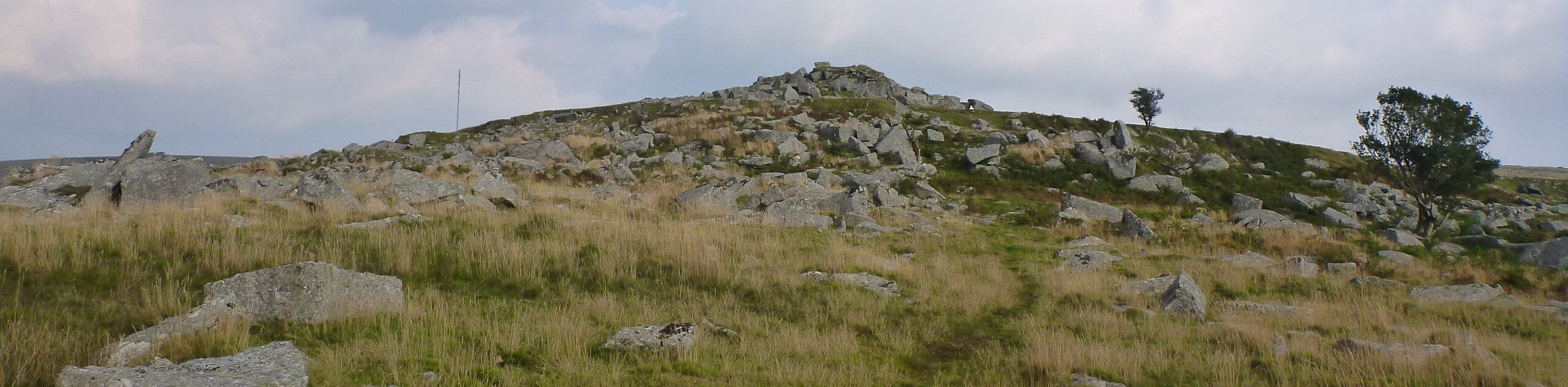
The walk to King’s Tor is a fantastic journey in Dartmoor National Park that can be done by nearly anyone, so long as you are able to make the brief climb up to the summit. While out on this quick walk, you will traverse the rugged terrain of the moor and work your way up to the rocky summit viewpoint atop King’s Tor, where you will enjoy a sweeping sightline across the park. This route is a great way to kill some spare time if you find yourself in the area.
Getting there
To reach the car park for the King’s Tor Walk from Tavistock, make your way east along Mount Tavy Road for 4.9mi and turn right to enter the car park.

About
| When to do | Year-Round |
| Backcountry Campsites | No |
| Pets allowed | Yes |
| Family friendly | Yes |
| Route Signage | Average |
| Crowd Levels | Moderate |
| Route Type | Out and back |
King’s Tor Walk
Elevation Graph
Weather
King’s Tor Trail Description
Even though there is a bit of uphill walking involved, the King’s Tor Walk is a great short-distance route that can be enjoyed by walkers of most skill levels. Here, you will traverse the open terrain of the moor, crossing over several small streams as you gradually climb your way uphill to the summit. From this hilltop vantage point, you can explore the rocky outcrop while taking in the pleasant views that sweep across Dartmoor National Park in every direction. When you are all finished, simply head back down the same trail to return to the car park below.
Similar hikes to the King’s Tor Walk hike

Shipley Bridge and Avon Dam Reservoir Walk
Located in the southern part of Dartmoor National Park, the Shipley Bridge and Avon Dam Reservoir Walk is a lovely…

The Sherlock Holmes Track
The Sherlock Holmes Track is a fun adventure in the southeast corner of Dartmoor National Park that will take you…

Ryder’s Hill via Sandy Way Trail
The Ryder’s Hill via Sandy Way Trail is a beautiful walking route in Dartmoor National Park that will lead you…
Comments