Grimspound Walk
View Photos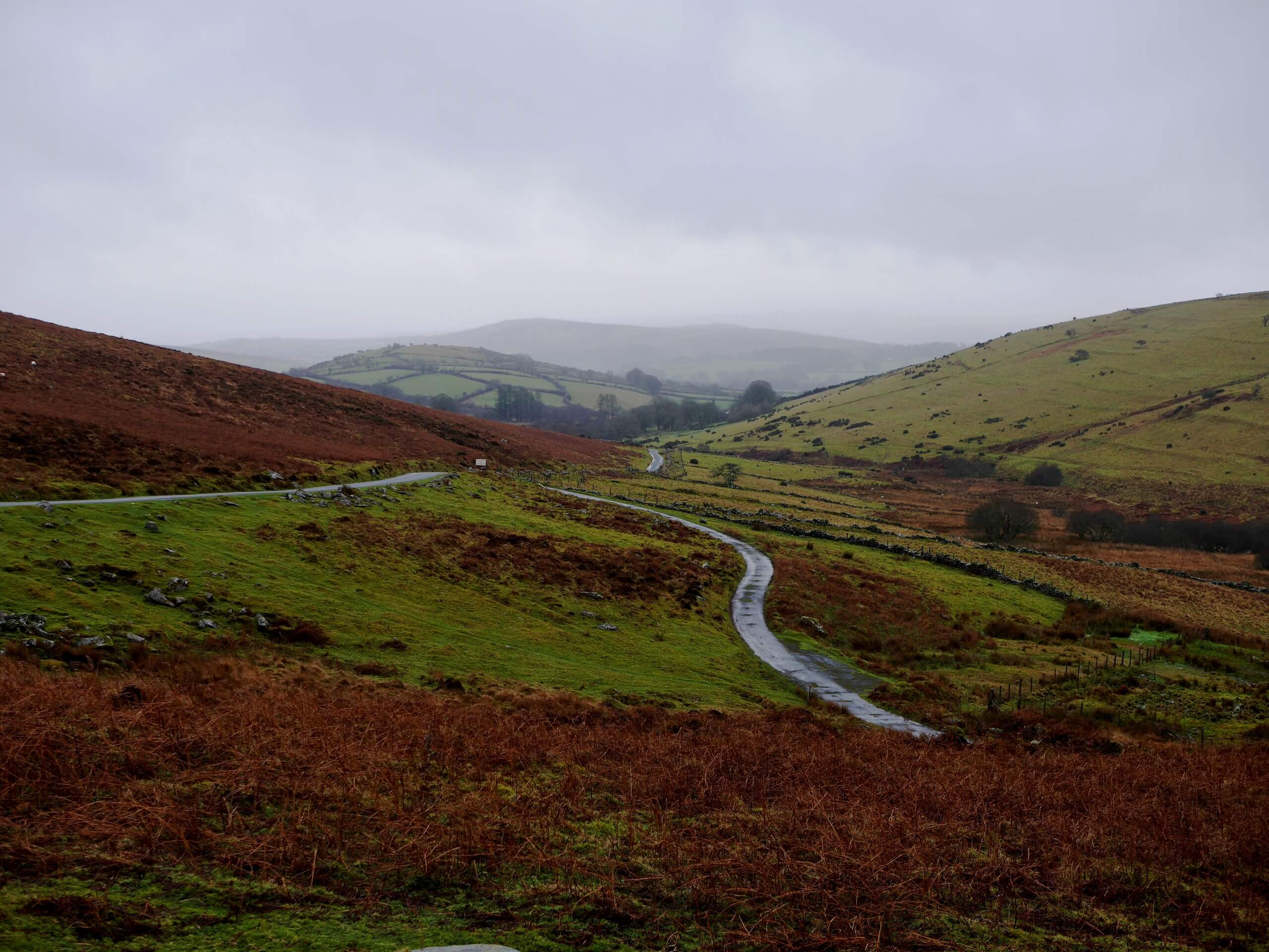
Grimspound Walk
Difficulty Rating:
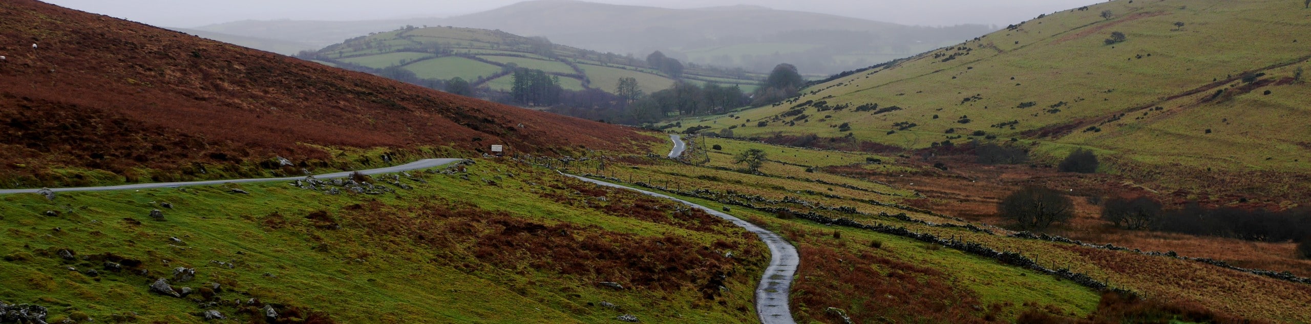
The Grimspound Walk is a fantastic adventure for nature and history lovers alike, as you will explore the beautiful scenery and local history that can be found within the boundaries of Dartmoor National Park. While out on the trail, you will traverse the undulating terrain of the moor and gaze out at the barren, yet beautiful hills before visiting the site of a Bronze Age settlement surrounded by a stone wall. This is a great walk that can be enjoyed by walkers of most skill levels.
Getting there
To reach the trailhead for the Grimspound Walk from Postbridge, drive northeast on B3212 for 2.6mi and turn right to enter the car park.

About
| When to do | March-November |
| Backcountry Campsites | No |
| Pets allowed | Yes - On Leash |
| Family friendly | Yes |
| Route Signage | Average |
| Crowd Levels | Moderate |
| Route Type | Circuit |
Grimspound Walk
Elevation Graph
Weather
Grimspound Walk Description
While the Grimspound Walk is a lovely adventure that is filled with beautiful scenery and interesting historical sites, there are also a few climbs and descents along the rugged terrain of the moor that could prove challenging for younger children or less-mobile walkers. Be sure to wear proper walking shoes to better traverse the terrain in these areas. Additionally, the car park located at the trailhead can fill up fairly quickly, so be sure to arrive early enough to secure a space and enjoy some peace and quiet along the trails.
With the opportunity to learn about some interesting local history and explore the picturesque landscape of the moors set within the Devon countryside, the Grimspound walk is a fantastic journey that can and should be checked out by anyone interested in Bronze Age historical sites and beautiful views. The trail sets out from the car park and initially heads to the northeast to climb up the hillside, before traversing the undulating terrain directly to the east. Here, you will skirt around the slopes of Hookney Tor before turning to the south west to visit the Bronze Age settlement of Grimspound.
Take some time to explore the area, checking out the remains of ancient longhouses surrounded by a circular stone boundary wall, before continuing to the west along the trail. Traversing the hilly terrain along the slopes of Birch Tor, you will eventually make one final climb back uphill to return to the car park where you began the Grimspound Walk.
Similar hikes to the Grimspound Walk hike

Shipley Bridge and Avon Dam Reservoir Walk
Located in the southern part of Dartmoor National Park, the Shipley Bridge and Avon Dam Reservoir Walk is a lovely…

The Sherlock Holmes Track
The Sherlock Holmes Track is a fun adventure in the southeast corner of Dartmoor National Park that will take you…

Ryder’s Hill via Sandy Way Trail
The Ryder’s Hill via Sandy Way Trail is a beautiful walking route in Dartmoor National Park that will lead you…
Comments