Chagford and Kestor Rocks Walk
View Photos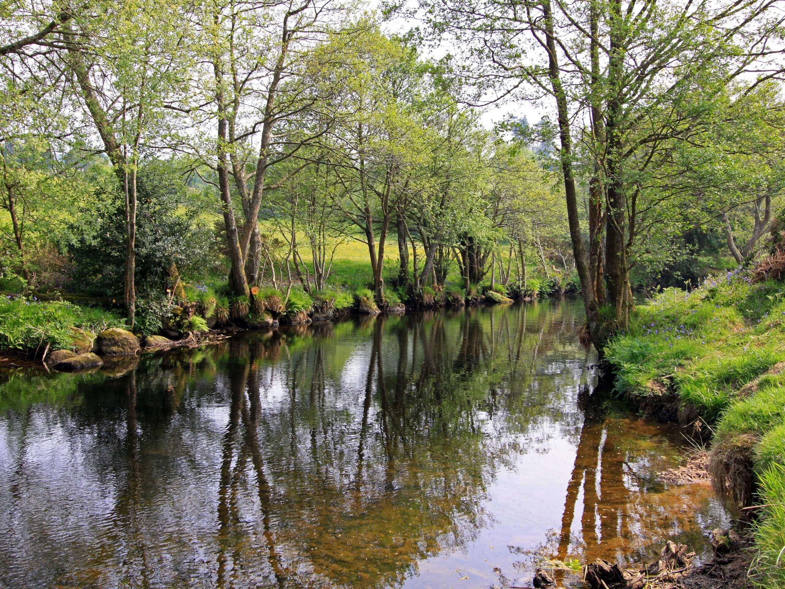
Chagford and Kestor Rocks Walk
Difficulty Rating:
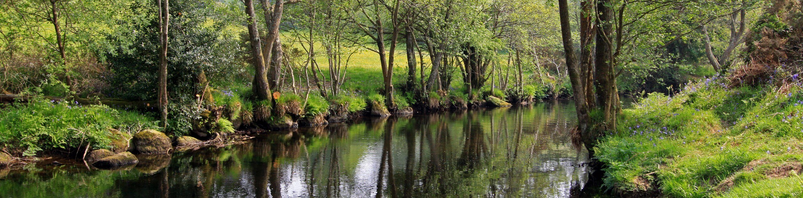
Walking the Chagford and Kestor Rocks Trail is a great adventure in Dartmoor National Park that will see you leave the charming town behind for a lovely countryside walk. While out on the trail, you will traverse the open countryside and climb uphill across the moor to reach the vantage point atop Kestor Rocks, where you will enjoy stunning views overlooking the surrounding area. There is a bit of elevation gain throughout the walk; however, the views from the rocks are truly beautiful.
Getting there
To reach the trailhead for the Chagford and Kestor Rocks Walk from Moretonhampstead, head north on Station Road for 2.9mi and turn left onto B3206. Follow this for 1.5mi and turn right onto Mill Street, continuing on for 70ft to arrive at the starting point of the walk.

About
| When to do | Year-Round |
| Backcountry Campsites | No |
| Pets allowed | Yes |
| Family friendly | Older Children only |
| Route Signage | Average |
| Crowd Levels | Moderate |
| Route Type | Out and back |
Chagford and Kestor Rocks Walk
Elevation Graph
Weather
Chagford and Kestor Rocks Trail Description
The Chagford and Kestor Rocks Walk is a popular trail in Dartmoor National Park for those walkers that want to experience stunning views of the picturesque countryside for only a moderate amount of effort. Along the trail, you will leave the town of Chagford behind and traverse the open farmland to the west, eventually transitioning onto the moor as you climb uphill to the rocky summit viewpoint atop Kestor Rocks. After taking in the sweeping views across the surrounding moor and rolling green hills, simply head back along the same trail for the return leg of the walk.
Similar hikes to the Chagford and Kestor Rocks Walk hike

Shipley Bridge and Avon Dam Reservoir Walk
Located in the southern part of Dartmoor National Park, the Shipley Bridge and Avon Dam Reservoir Walk is a lovely…

The Sherlock Holmes Track
The Sherlock Holmes Track is a fun adventure in the southeast corner of Dartmoor National Park that will take you…

Ryder’s Hill via Sandy Way Trail
The Ryder’s Hill via Sandy Way Trail is a beautiful walking route in Dartmoor National Park that will lead you…
Comments