
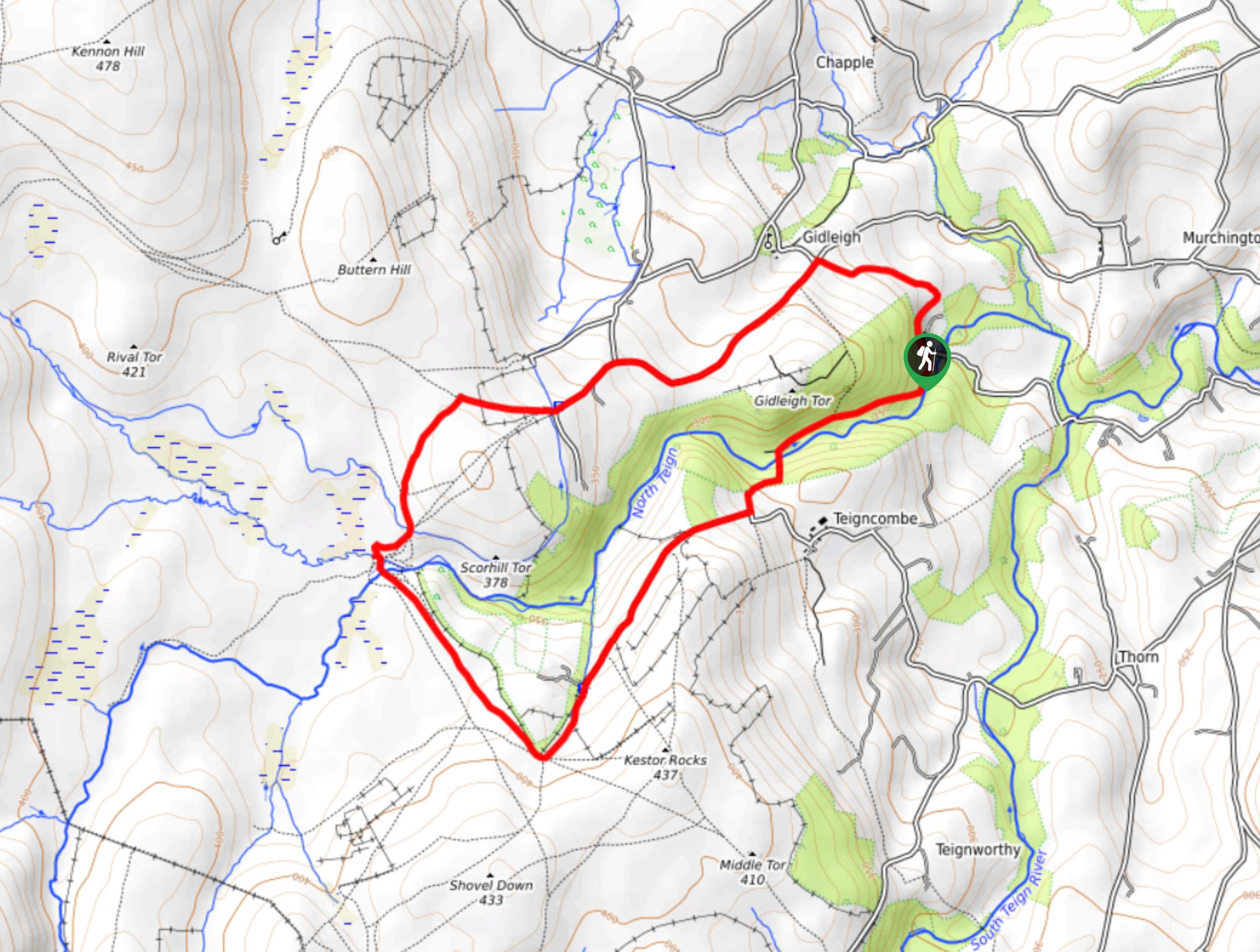
Gidleigh Tor and Scorhill Tor Walk
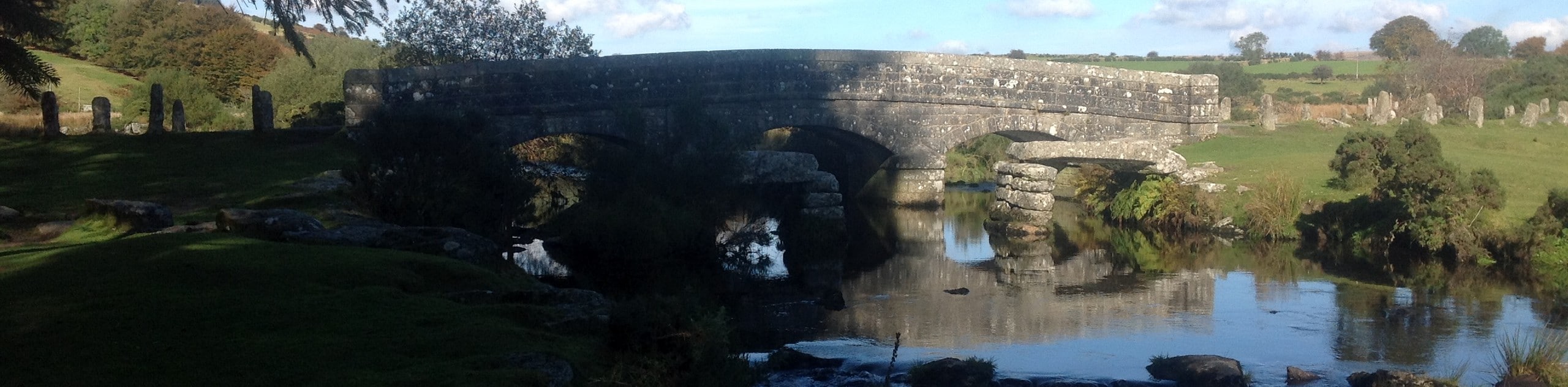
View Photos
Gidleigh Tor and Scorhill Tor Walk
Difficulty Rating:
The Gidleigh Tor and Scorhill Tor Walk is a challenging undertaking in Dartmoor National Park, thanks to the steep valley terrain that can be found along the North Teigh River. While out walking the trail, you will follow along the winding banks of the river and traverse the steep, undulating terrain, as you work your way along the above mentioned tors. Beautiful views of the surrounding forests and moors await on this scenic adventure.
Getting there
To reach the trailhead for the Gidleigh Tor and Scorhill Tor Walk from Chagford, drive northwest on Mill Street for 0.4mi and continue straight for another 289ft. From here, keep on for 1.3mi to arrive at the starting point of the walk at Gidleigh Park.

About
| When to do | March-November |
| Backcountry Campsites | No |
| Pets allowed | Yes - On Leash |
| Family friendly | No |
| Route Signage | Average |
| Crowd Levels | Moderate |
| Route Type | Circuit |
Gidleigh Tor and Scorhill Tor Walk
Elevation Graph
Weather
Gidleigh Tor and Scorhill Tor Trail Description
While it is a bit of a difficult trail, the Gidleigh Tor and Scorhill Tor Walk is a great adventure for exploring some of the varied landscapes that can be found within Dartmoor National Park. Setting out from the trailhead, you will make your way to the southwest along the North Teign River, passing through peaceful forests, open farmland, and barren moors. After climbing uphill and traversing the hilly terrain of the Gidleigh and Scorhill tors, you will walk a flatter section along a quiet road that will bring you back towards the trailhead.
Similar hikes to the Gidleigh Tor and Scorhill Tor Walk hike

Shipley Bridge and Avon Dam Reservoir Walk
Located in the southern part of Dartmoor National Park, the Shipley Bridge and Avon Dam Reservoir Walk is a lovely…

Ryder’s Hill via Sandy Way Trail
The Ryder’s Hill via Sandy Way Trail is a beautiful walking route in Dartmoor National Park that will lead you…
Two Bridges, Bellever, and Dartmeet Circular Walk
At 15.7mi in length, the Two Bridges, Bellever, and Dartmeet Circular walk is a long adventure; however, it…
Comments