Two Bridges, Bellever, and Dartmeet Circular Walk
View Photos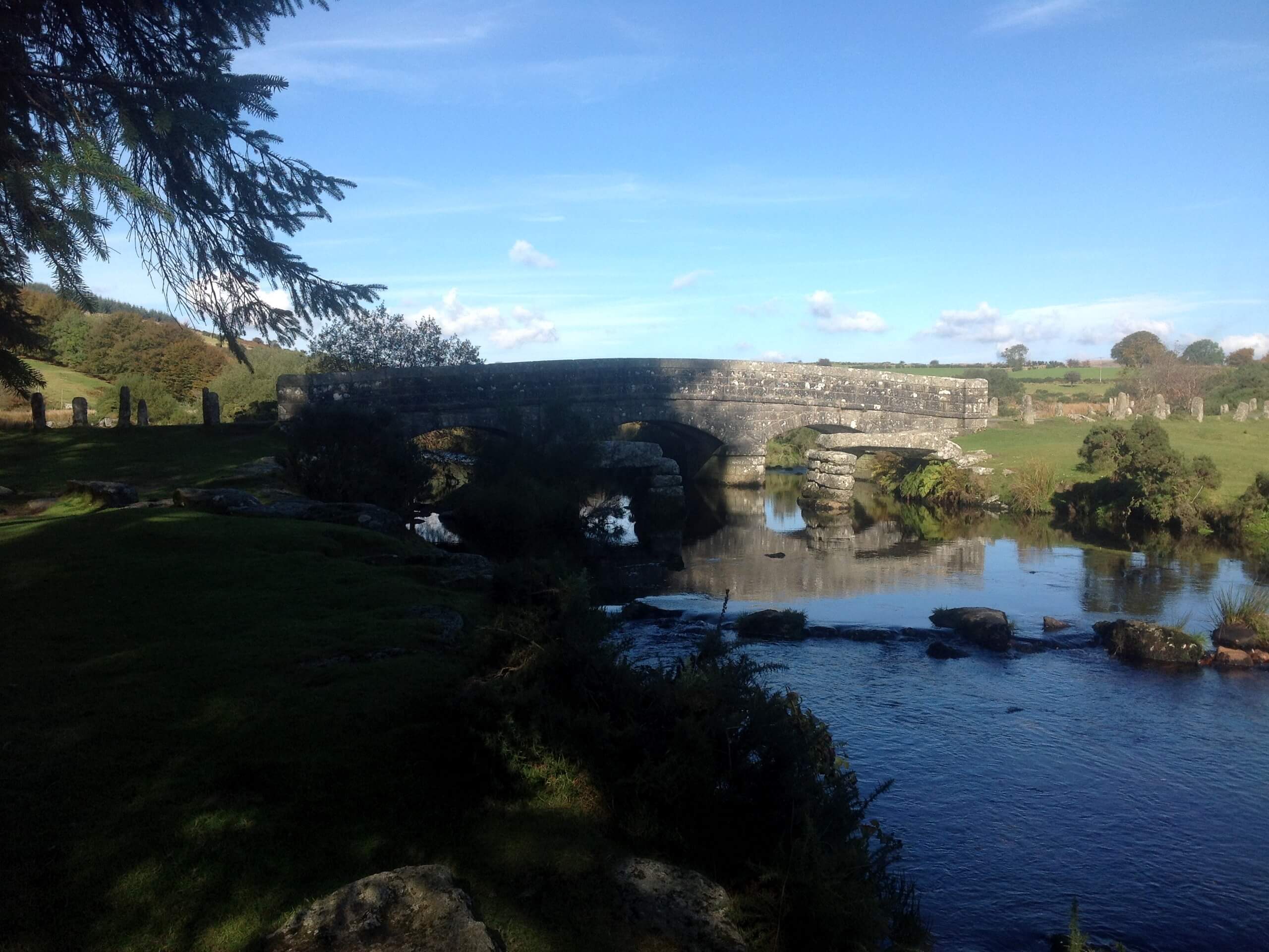
Two Bridges, Bellever, and Dartmeet Circular Walk
Difficulty Rating:
At 15.7mi in length, the Two Bridges, Bellever, and Dartmeet Circular walk is a long adventure; however, it will produce some beautifully scenic views along the way. The trail will lead you through the heart of Dartmoor National Park to climb a number of rugged tors and pass through serene stretches of forest, allowing you to fully appreciate the natural beauty here. The route itself isn’t overly difficult, just don’t forget to wear sturdy walking boots and bring plenty of water!
Getting there
To reach the trailhead for the Two Bridges, Bellever, and Dartmeet Circular Walk from Princetown, head to the northeast for 1.4mi along Two Bridges Road/B3212 and turn right onto B3357. After 0.2mi, you will find the car park on the left.

About
| Backcountry Campground | Beardown Farm |
| When to do | March-October |
| Pets allowed | Yes |
| Family friendly | No |
| Route Signage | Average |
| Crowd Levels | Low |
| Route Type | Circuit |
Two Bridges, Bellever, and Dartmeet Circular Walk
Elevation Graph
Weather
Two Bridges, Bellever, and Dartmeet Walk Description
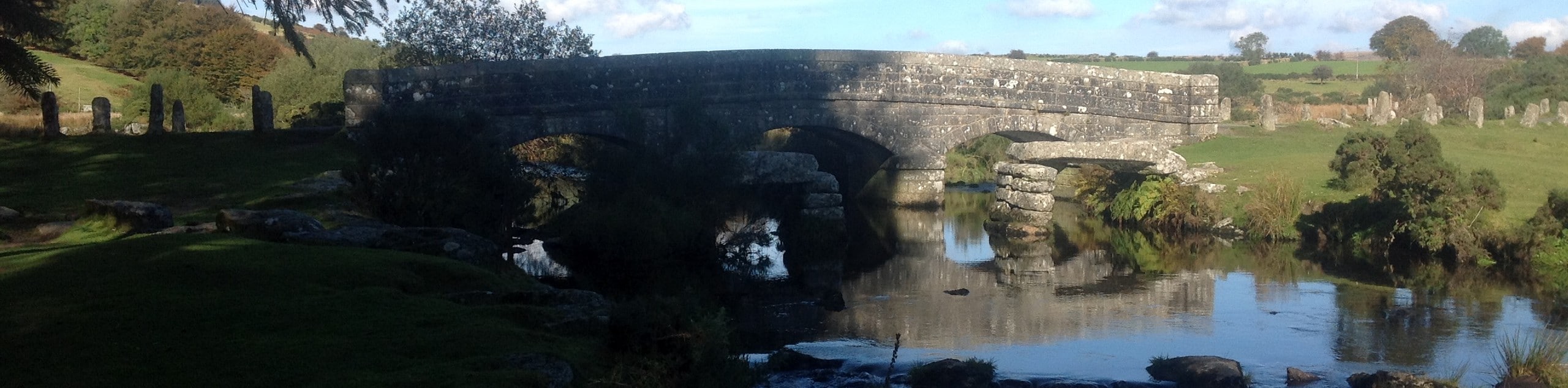
If your aim is to cover a good amount of ground right in the heart of Dartmoor National Park, then the Two Bridges, Bellever, and Dartmeet Circular Walk will allow you to do just that. Setting out from the trailhead in Two Bridges, you will head north across the undulating terrain of the moor and use the banks of the West Dart River as your guide before breaking off to the east to traverse the summits of Higher White Tor and Longaford Tor. From here, you will make your way across the undulating terrain to the southeast, passing through a vast stretch of forest to reach Bellever. Once there, the trail will take you south across several tors towards Dartmeet before turning back to the west to cross over the West Dart River. From here, you will continue across the picturesque landscape, traversing open fields and peaceful forests until you arrive back at the trailhead.
Similar hikes to the Two Bridges, Bellever, and Dartmeet Circular Walk hike

Shipley Bridge and Avon Dam Reservoir Walk
Located in the southern part of Dartmoor National Park, the Shipley Bridge and Avon Dam Reservoir Walk is a lovely…

The Sherlock Holmes Track
The Sherlock Holmes Track is a fun adventure in the southeast corner of Dartmoor National Park that will take you…

Ryder’s Hill via Sandy Way Trail
The Ryder’s Hill via Sandy Way Trail is a beautiful walking route in Dartmoor National Park that will lead you…
Comments