Chagford and Mill End via the River Teign
View Photos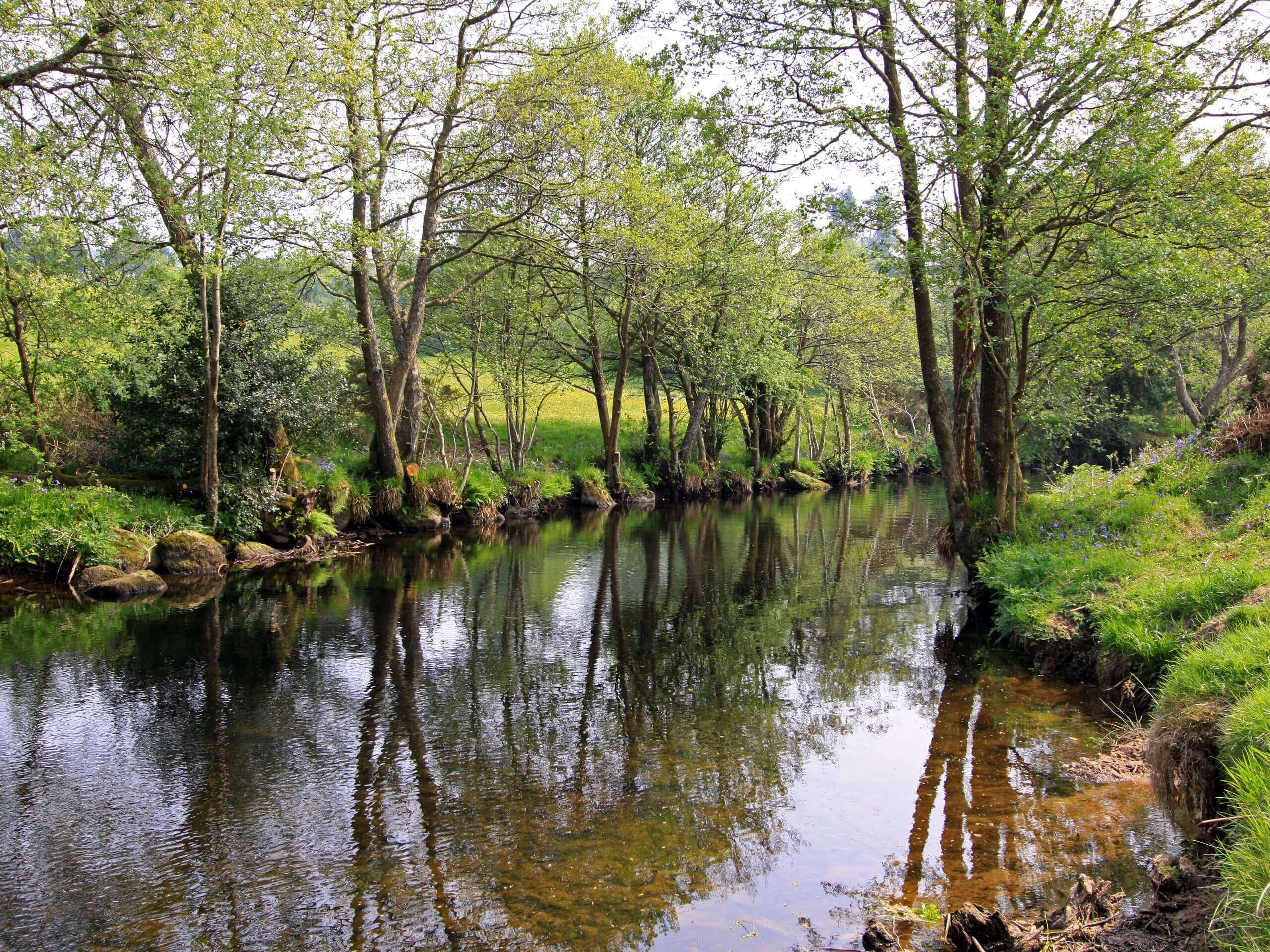
Chagford and Mill End via the River Teign
Difficulty Rating:
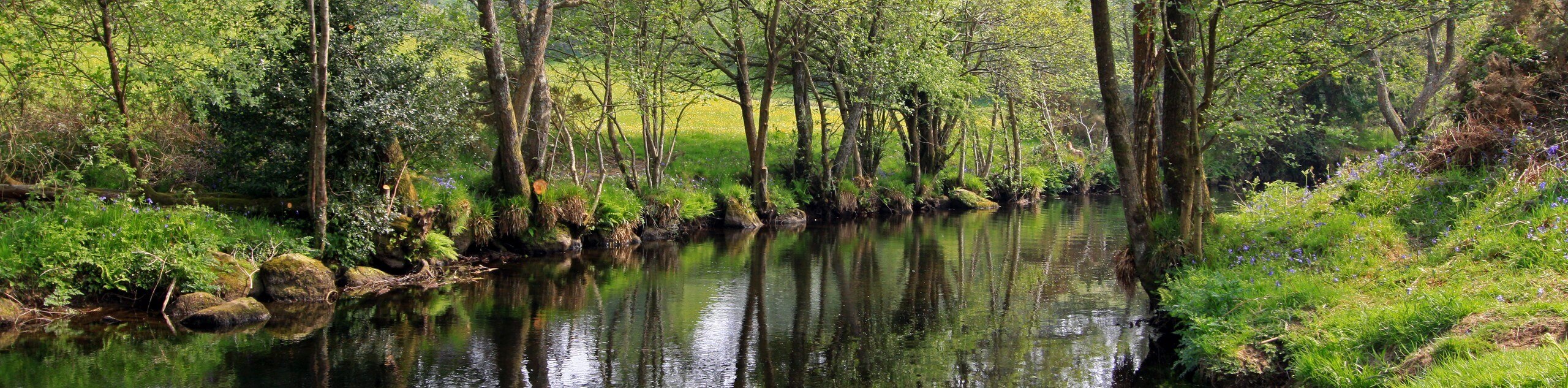
The Chagford and Mill End Walk via the River Teign is a charming countryside walk in Dartmoor National Park that will take you along the banks of the river and provide scenic views. Along the trail, you will experience the historic buildings of Chagford, before crossing open fields and meandering along the water’s edge until you arrive at Mill End. This walk is perfectly suited for a lazy weekend stroll.
Getting there
To get to the Chagford and Mill End Walk via River Teign trailhead from Moretonhampstead, drive northwest on Ford Street/A382 for 2.9mi and turn left onto B3206. Follow this for 1.4mi and turn left onto The Square, continuing on for 130ft to arrive at the starting point of the walk.

About
| When to do | Year-Round |
| Backcountry Campsites | No |
| Pets allowed | Yes - On Leash |
| Family friendly | Yes |
| Route Signage | Average |
| Crowd Levels | Moderate |
| Route Type | Lollipop |
Chagford and Mill End via the River Teign
Elevation Graph
Weather
Chagford and Mill End via the River Teign Trail Description
If you find yourself in the heart of Dartmoor National Park and are after a relaxing walk through the countryside, then the Chagford and Mill End Walk via the River Teign is a fantastic option to spend some quality time outdoors while taking in the beautiful views of the landscape here. Setting out from the starting point of the walk in the town of Chagford, you will walk to0 the northeast in order to leave the historic buildings and streets behind, trading them for the beautiful Devon countryside. Eventually, you will break away from the road to the north to follow along the winding banks of the River Teign, continuing on to the northeast until you arrive at Mill End. From here, you can turn back towards the southwest to enjoy some final views of the surrounding farmland on the return leg of the journey to Chagford.
Similar hikes to the Chagford and Mill End via the River Teign hike

Shipley Bridge and Avon Dam Reservoir Walk
Located in the southern part of Dartmoor National Park, the Shipley Bridge and Avon Dam Reservoir Walk is a lovely…

The Sherlock Holmes Track
The Sherlock Holmes Track is a fun adventure in the southeast corner of Dartmoor National Park that will take you…

Ryder’s Hill via Sandy Way Trail
The Ryder’s Hill via Sandy Way Trail is a beautiful walking route in Dartmoor National Park that will lead you…
Comments