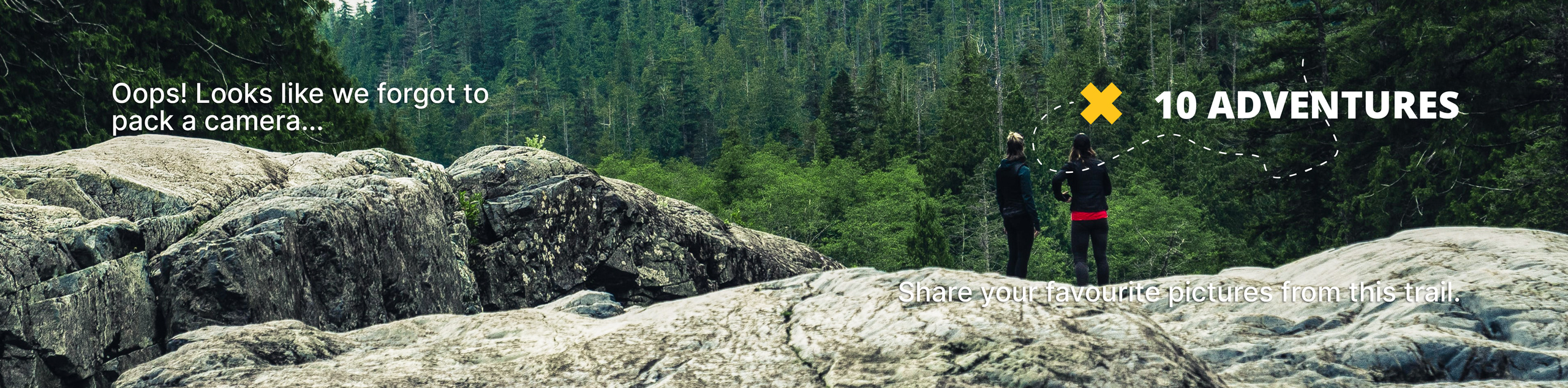
South Fork Lakes Trail
View Photos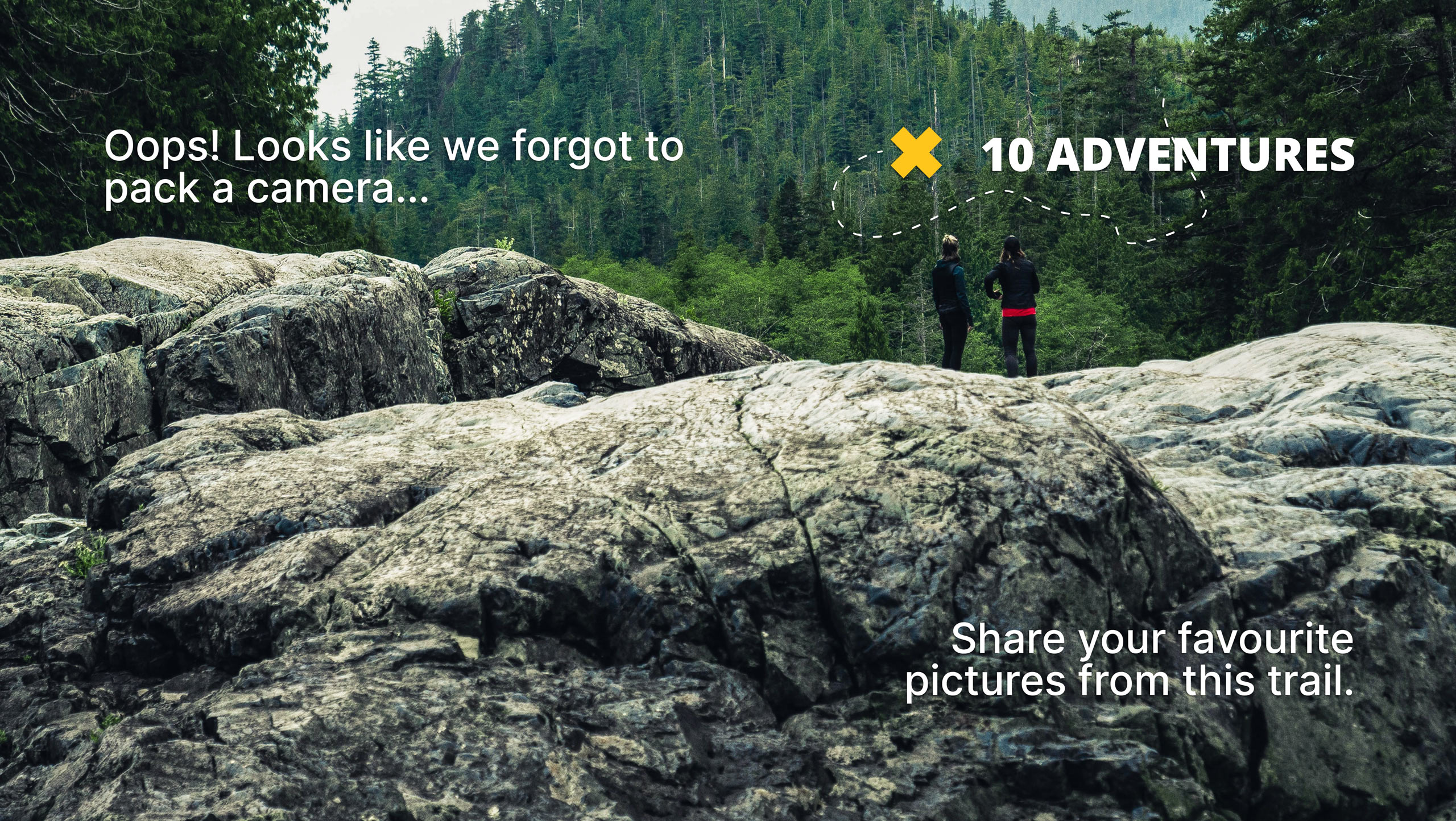
South Fork Lakes Trail
Difficulty Rating:
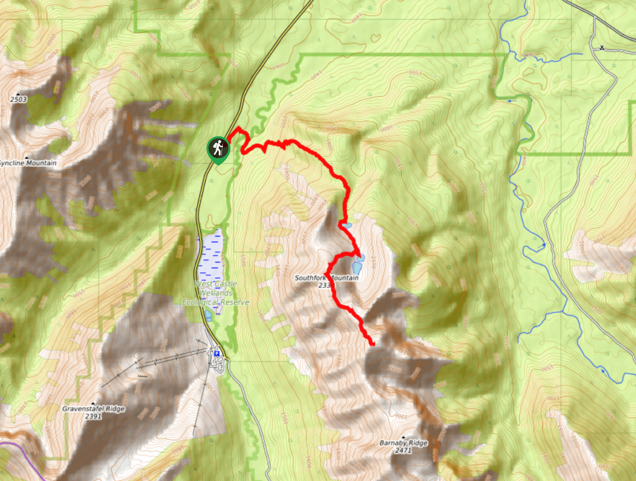
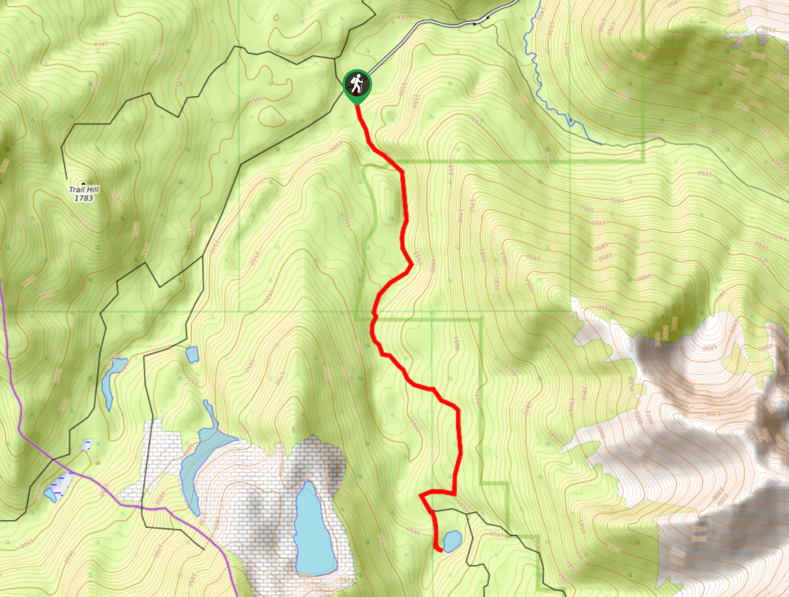
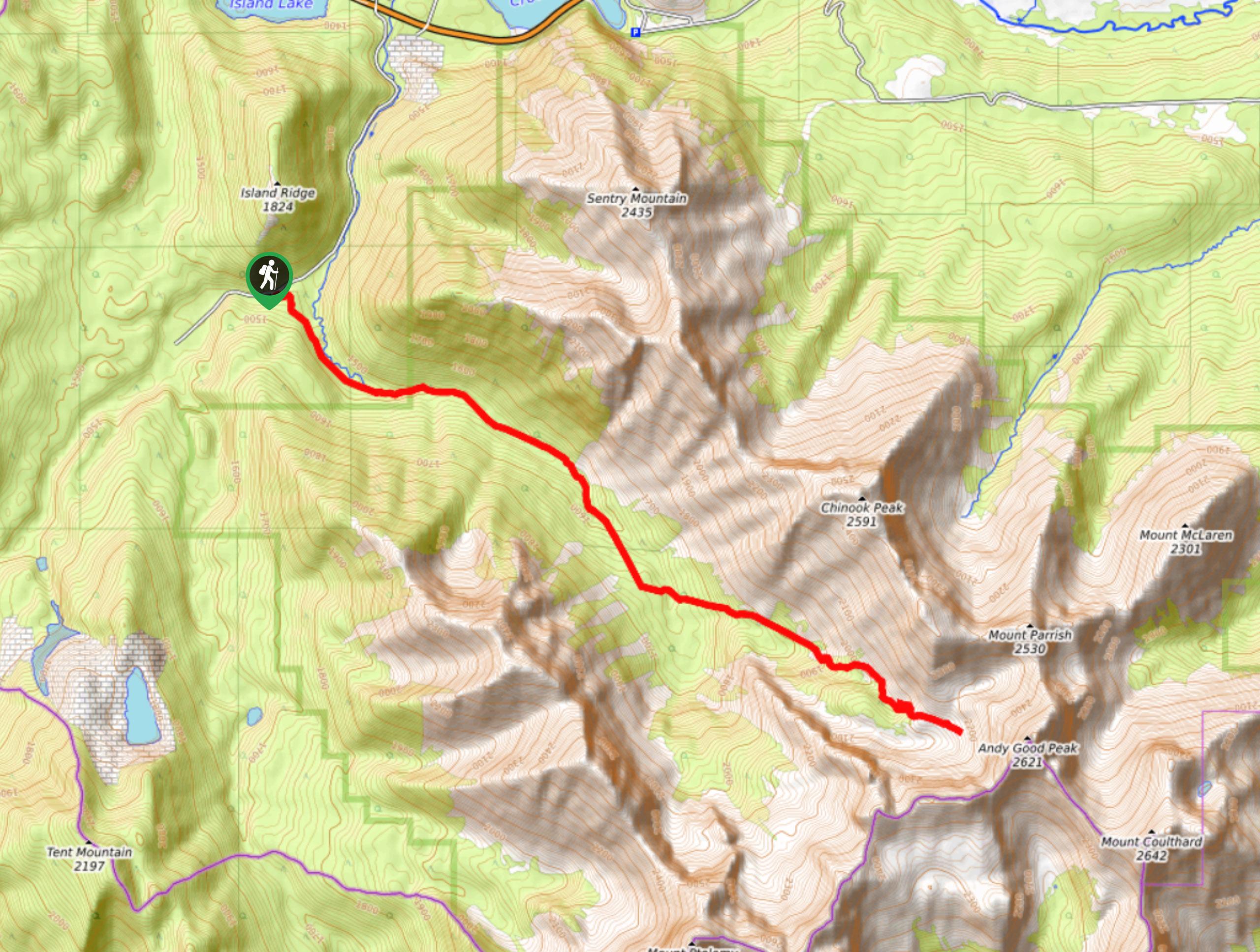
The trail to South Fork Lakes is easy to find and requires a river crossing almost immediately. The trail follows a steep ridge to the first lake and later comes to the others. A ridge rises above the lakes creating an excellent viewpoint if you are up to the challenge. This trail is simple to follow and signed well.
Getting there
To get to the South Fork Lakes hike from Beaver Mines, take Highway 774-W to get to South Fork Lakes trailhead. Travel on 774-W 14.3mi before pulling into a dirt road on the left. There are two entries, and you will want to take the second one that leads to a gate quickly. You may also park on the shoulder of the highway if the dirt road is rough.

About
| When to do | June-September |
| Backcountry Campsites | No |
| Pets allowed | Yes |
| Family friendly | No |
| Route Signage | Average |
| Crowd Levels | Moderate |
| Route Type | Out and back |
South Fork Lakes Trail
Elevation Graph
Weather
South Fork Lakes Trail Description
From the entry gate to South Fork Lakes Trail, follow signs that lead to the West Castle River. There is a very clear trail marker on the other side of the river where you need to cross. The water should be calm and easy to navigate. Follow the trail through the forest and soon begin gaining elevation. The West Castle Valley will come into view, making the climb worth the effort. The trail will level out to reach Barnaby Lake before continuing to South Fork Lakes. Continue up the trail following the shoulder of South Fork Mountain before reaching the two South Fork Lakes.
Similar hikes to the South Fork Lakes Trail hike
Piney Point Trail
The Piney Point Loop trail is a moderately trafficked trail from the Beauvais Lake day use area. There are many…
Coal Miners Lake
Coal Miners Lake is a great half day hike close to Crowsnest, Alberta. The moderate route is excellent for families.…
Trail of Seven Bridges
The Trail of Seven Bridges is more popular with OHV users as it is a multi-use trail. You will run…
Comments