Piney Point Trail
View Photos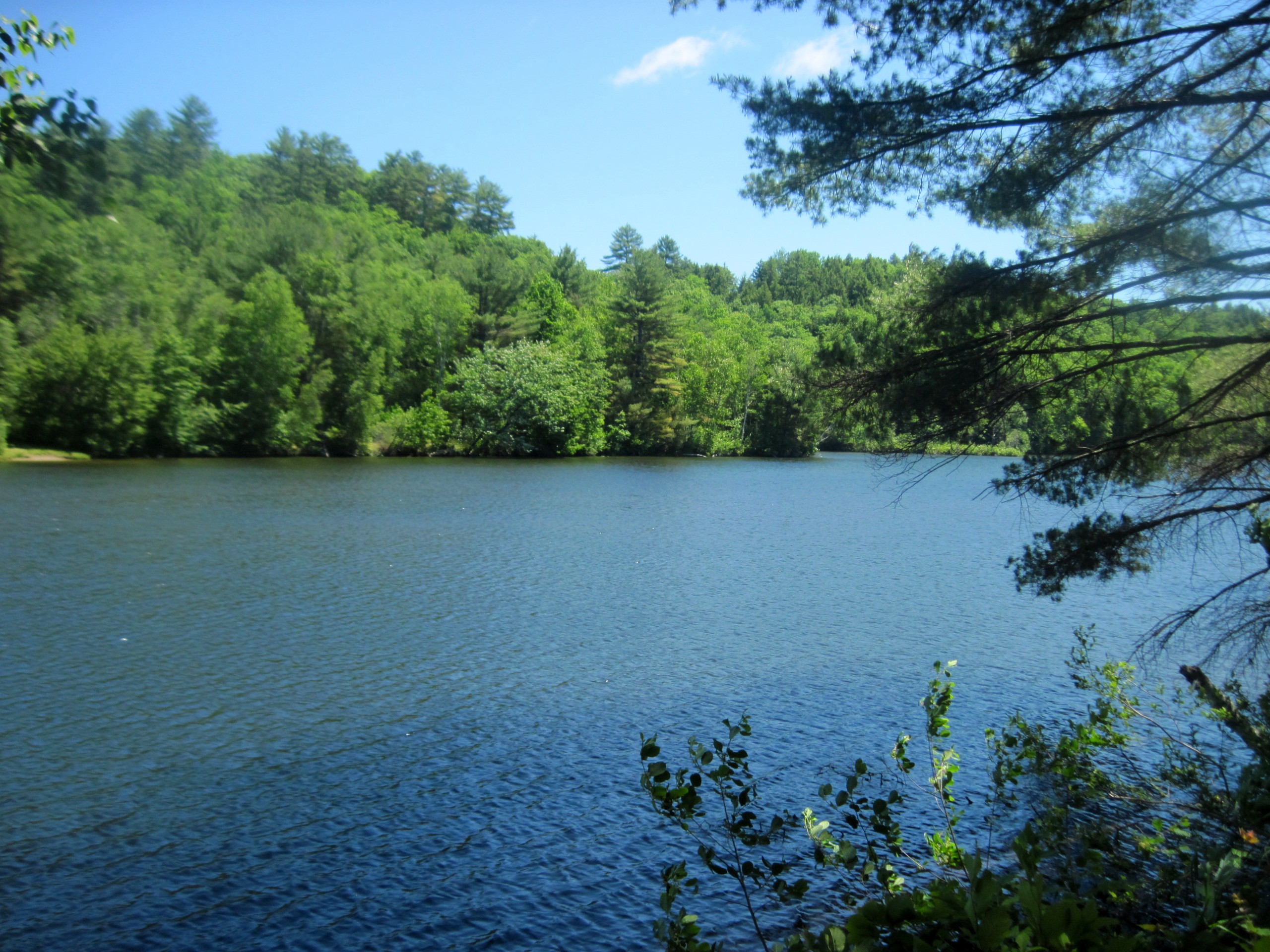
Piney Point Trail
Difficulty Rating:
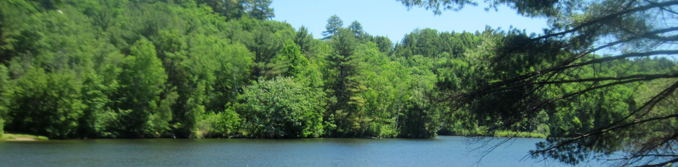
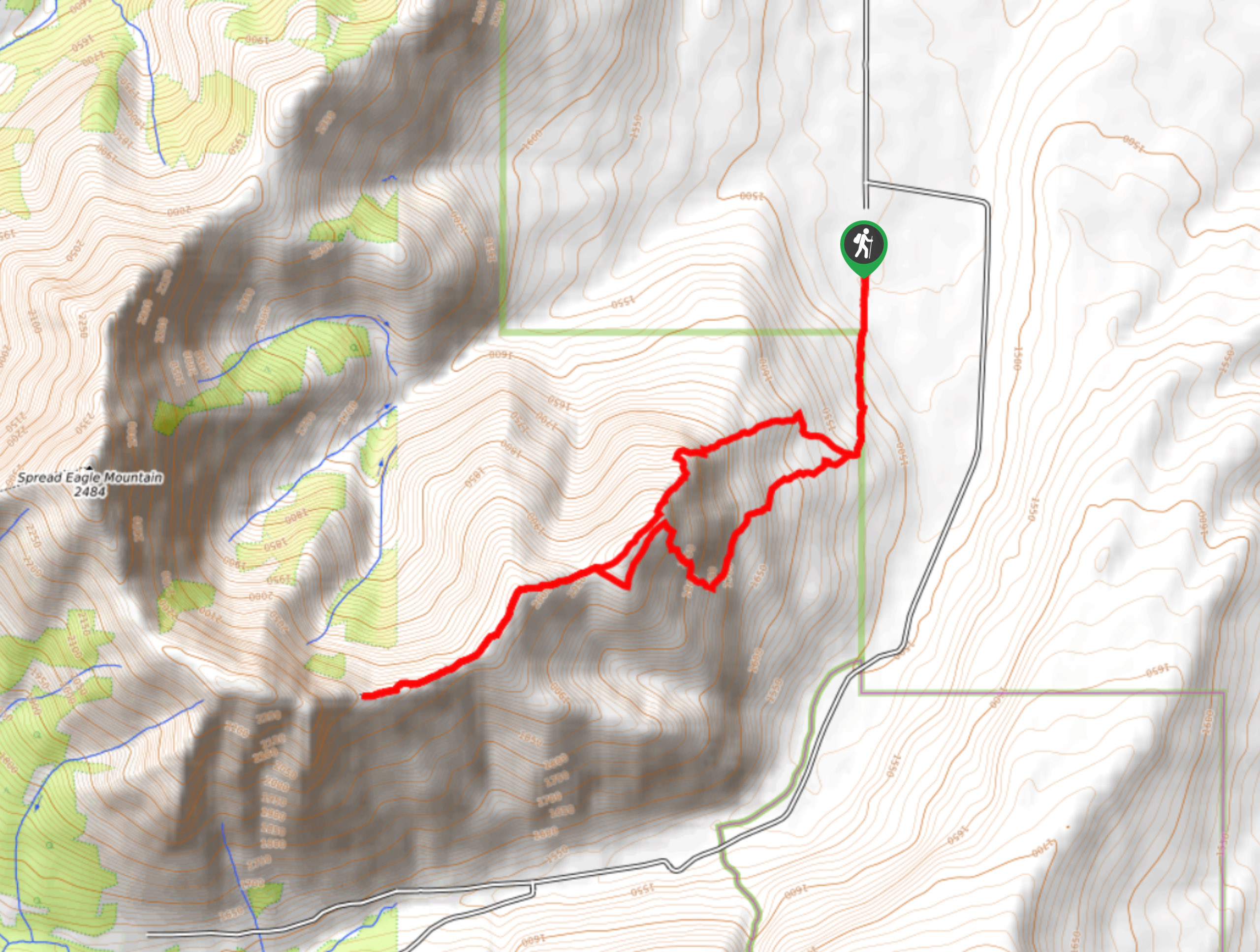
The Piney Point Loop trail is a moderately trafficked trail from the Beauvais Lake day use area. There are many trails that intersect in this area and all are well-signed. This is a great trail for families looking for a half day route they can explore the area on. You will get a great view of Beauvais itself and some other small lakes along the way.
Getting there
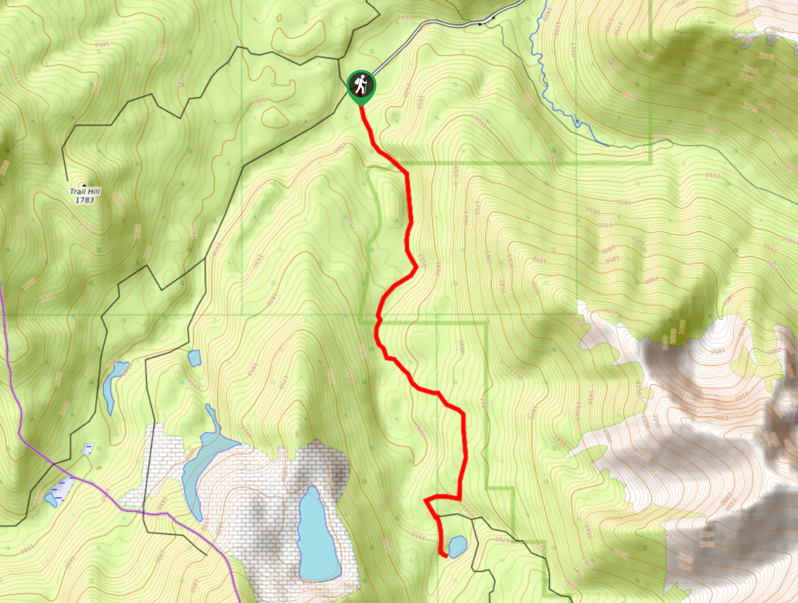
To get to Piney Point Loop trail, make your way from Pincher Creek to Beauvais Lake Provincial Recreation Area. Travel along Highway 507 westbound until you reach Highway 775. Turn onto Highway 775 for 5.0mi and turn right onto Range Road 15 towards Beauvais Lake. Park at the day use area by Homestead Group Campground.

About
| When to do | May-September |
| Backcountry Campsites | No |
| Pets allowed | Yes - On Leash |
| Family friendly | Yes |
| Route Signage | Average |
| Crowd Levels | Moderate |
| Route Type | Circuit |
Piney Point Trail
Elevation Graph
Weather
Piney Point Trail Description
The Piney Point loop is a straightforward trail that begins in the forest. You will start the trail at the edge of the south shore trail and find Piney Point loop immediately. Continue on the trail passing a few junctions that are clearly marked. There are a few short and steep sections that are easily overcome along the way. The trail follows a ridge offering beautiful views. Complete a full loop back to the Homestead Group camping area.
Similar hikes to the Piney Point Trail hike
Coal Miners Lake
Coal Miners Lake is a great half day hike close to Crowsnest, Alberta. The moderate route is excellent for families.…
Trail of Seven Bridges
The Trail of Seven Bridges is more popular with OHV users as it is a multi-use trail. You will run…
Yarrow Ridge
Yarrow Ridge is a stunning double lollipop loop that leads up a cutline to a ride. The ridge features various…
Comments