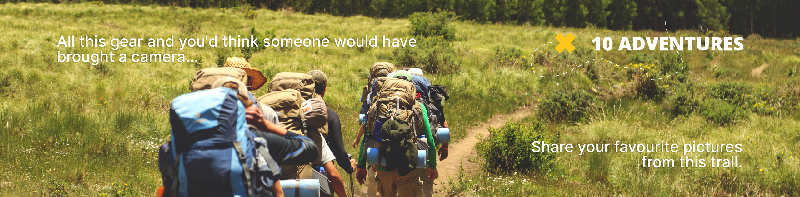
Yarrow Ridge
View Photos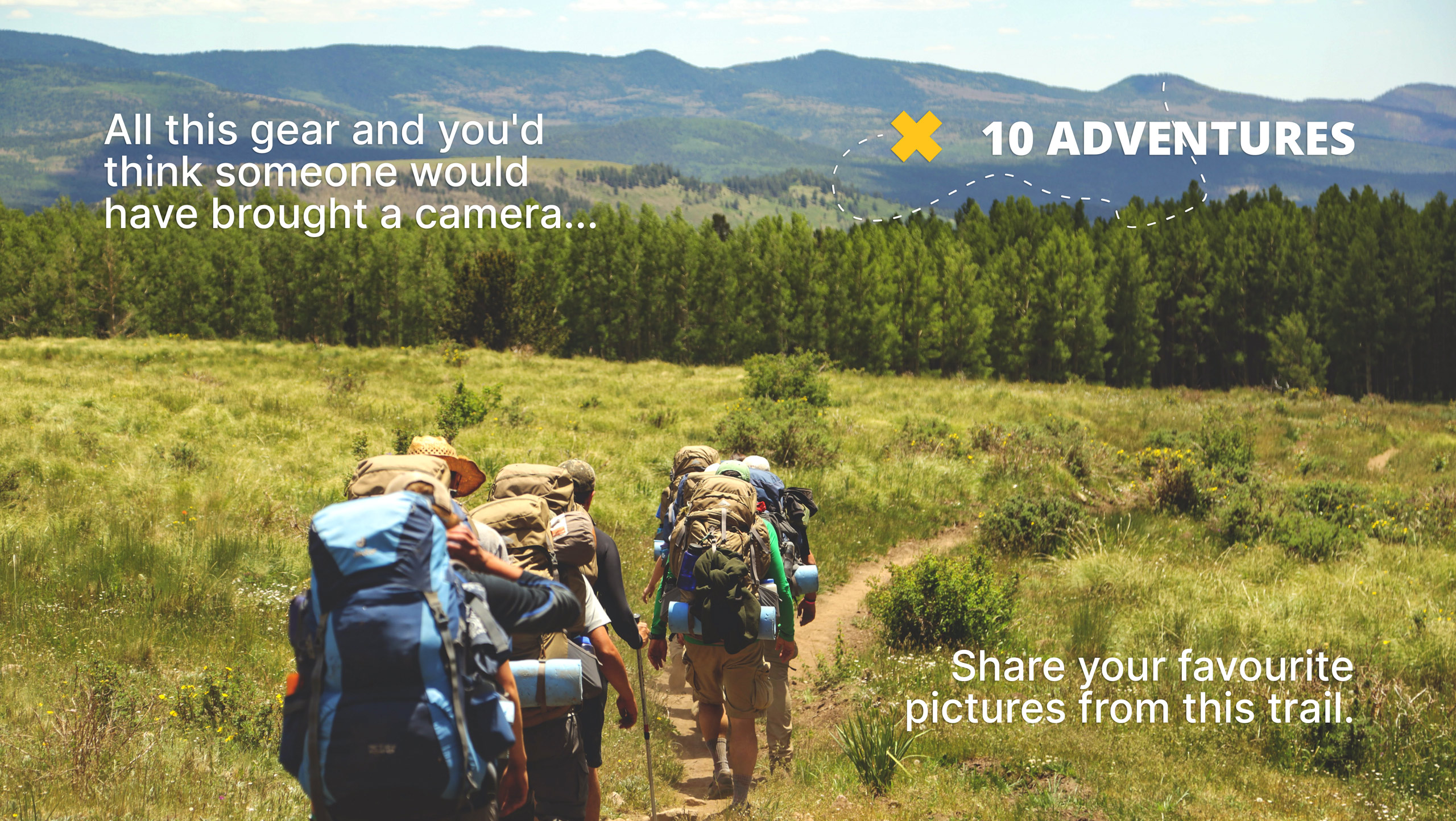
Yarrow Ridge
Difficulty Rating:
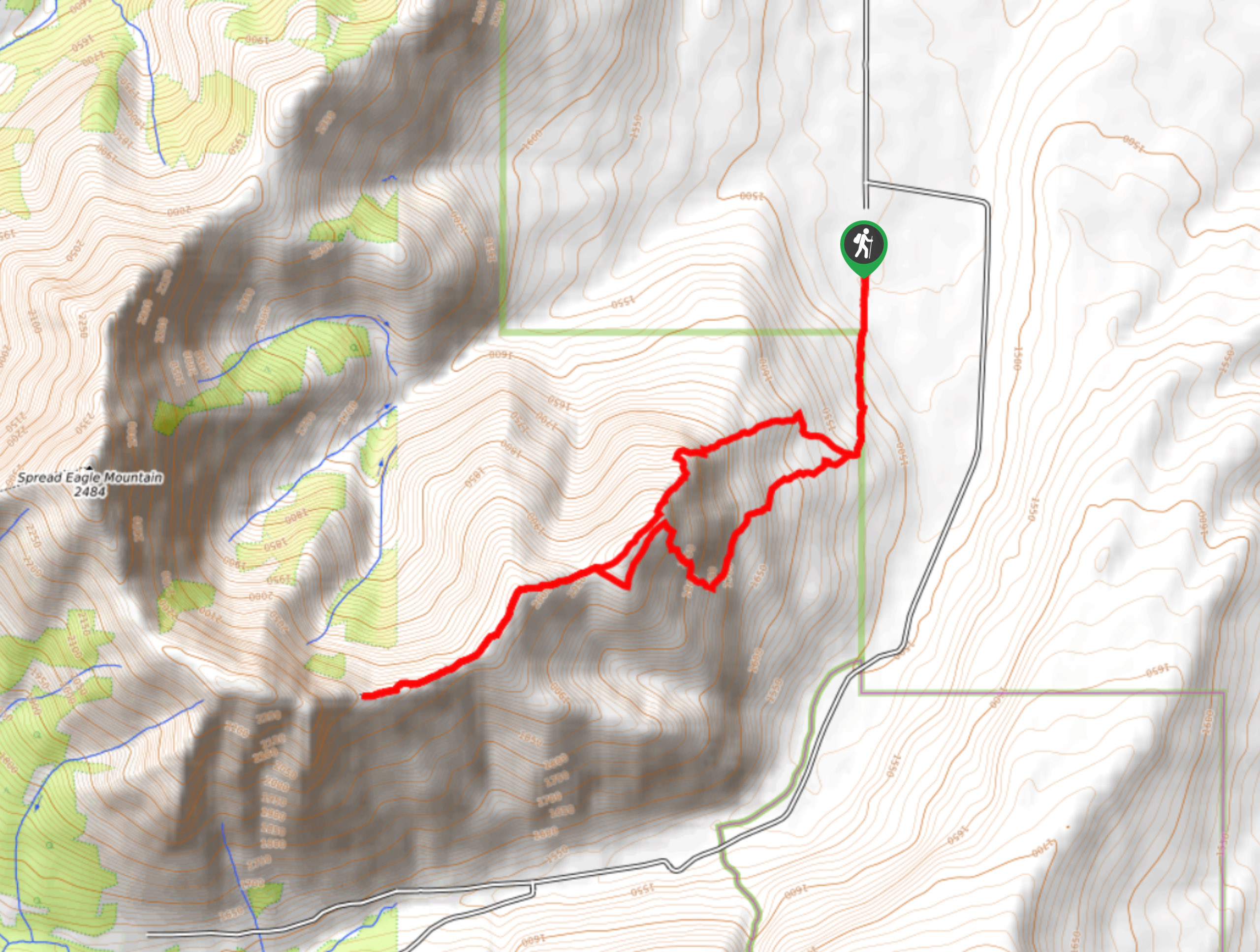
Yarrow Ridge is a stunning double lollipop loop that leads up a cutline to a ride. The ridge features various high points and makes for an interesting traverse before turning back and creating the lollipop. Some small technical sections with easy scrambling appear on this route, so be prepared for some hands-on moments.
Getting there
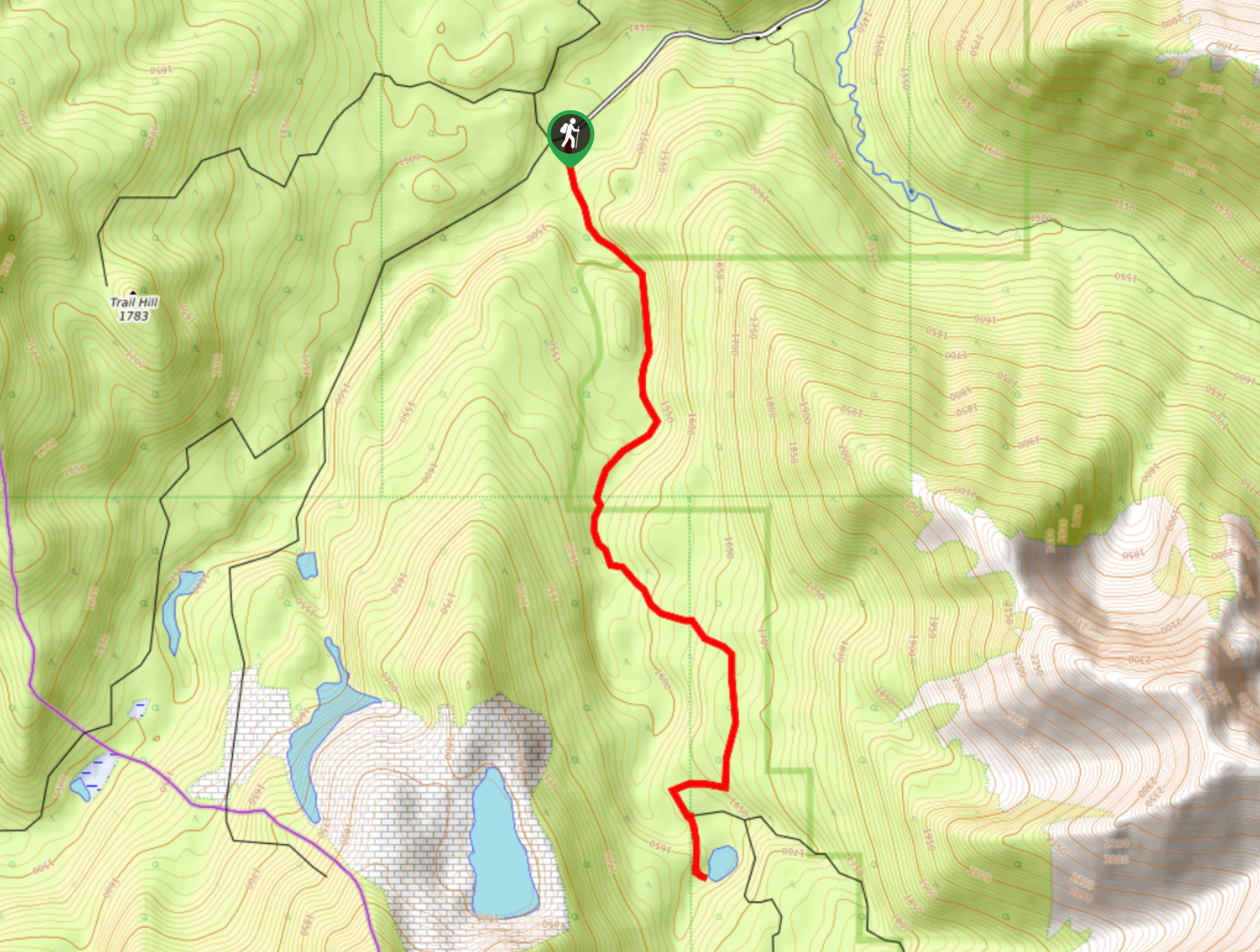
Yarrow Ridge lies just north of Waterton Lakes National Park, and to get there, join AB-6 and turn onto Township Road 34. Stay on this road for 5.0mi before turning left onto Range Road 303. After 0.6mi, pullover onto the shoulder and park. The trail will be on your right.

About
| When to do | May-October |
| Backcountry Campsites | No |
| Pets allowed | Yes |
| Family friendly | Older Children only |
| Route Signage | Average |
| Crowd Levels | Moderate |
| Route Type | Lollipop |
Yarrow Ridge
Elevation Graph
Weather
Yarrow Ridge Description
Starting up Yarrow Ridge might be the most difficult part of the route. From the parking, find your way to a cutline between two private properties and hike towards the slopes below Yarrow Ridge. You will be able to spot some obvious trails to follow up the ridge. Hike the ridge in a counter clockwise direction, beginning by taking the trail to the right and gaining elevation. There are some technical sections that might require a bit of scrambling, but nothing too difficult.
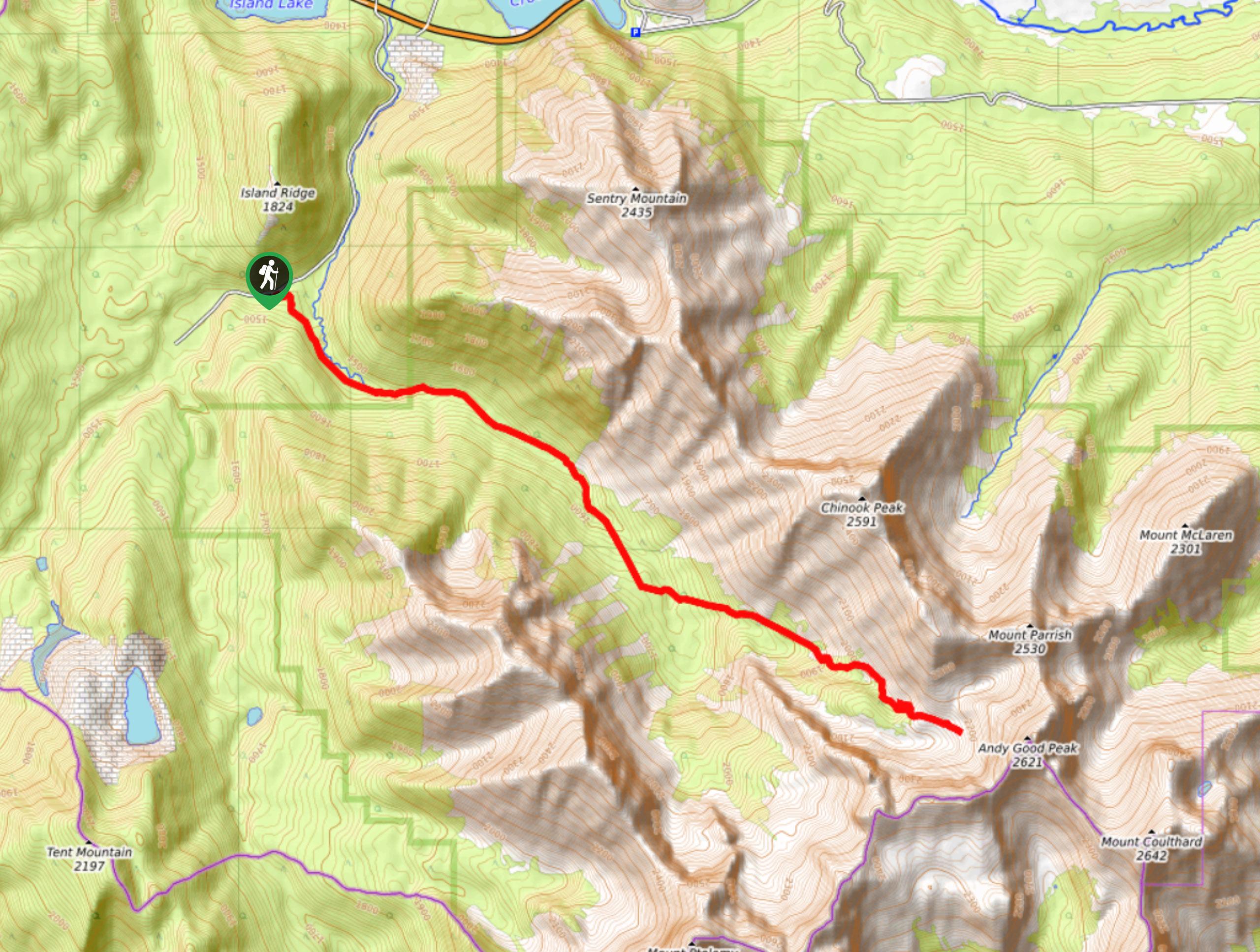
Once you gain the ridge, the trail flattens out and leads to various high points before circling around to create the loop. Be sure to use our GPS and have a good idea of the route to ensure you descend on the right path.
Similar hikes to the Yarrow Ridge hike
Piney Point Trail
The Piney Point Loop trail is a moderately trafficked trail from the Beauvais Lake day use area. There are many…
Coal Miners Lake
Coal Miners Lake is a great half day hike close to Crowsnest, Alberta. The moderate route is excellent for families.…
Trail of Seven Bridges
The Trail of Seven Bridges is more popular with OHV users as it is a multi-use trail. You will run…
Comments