
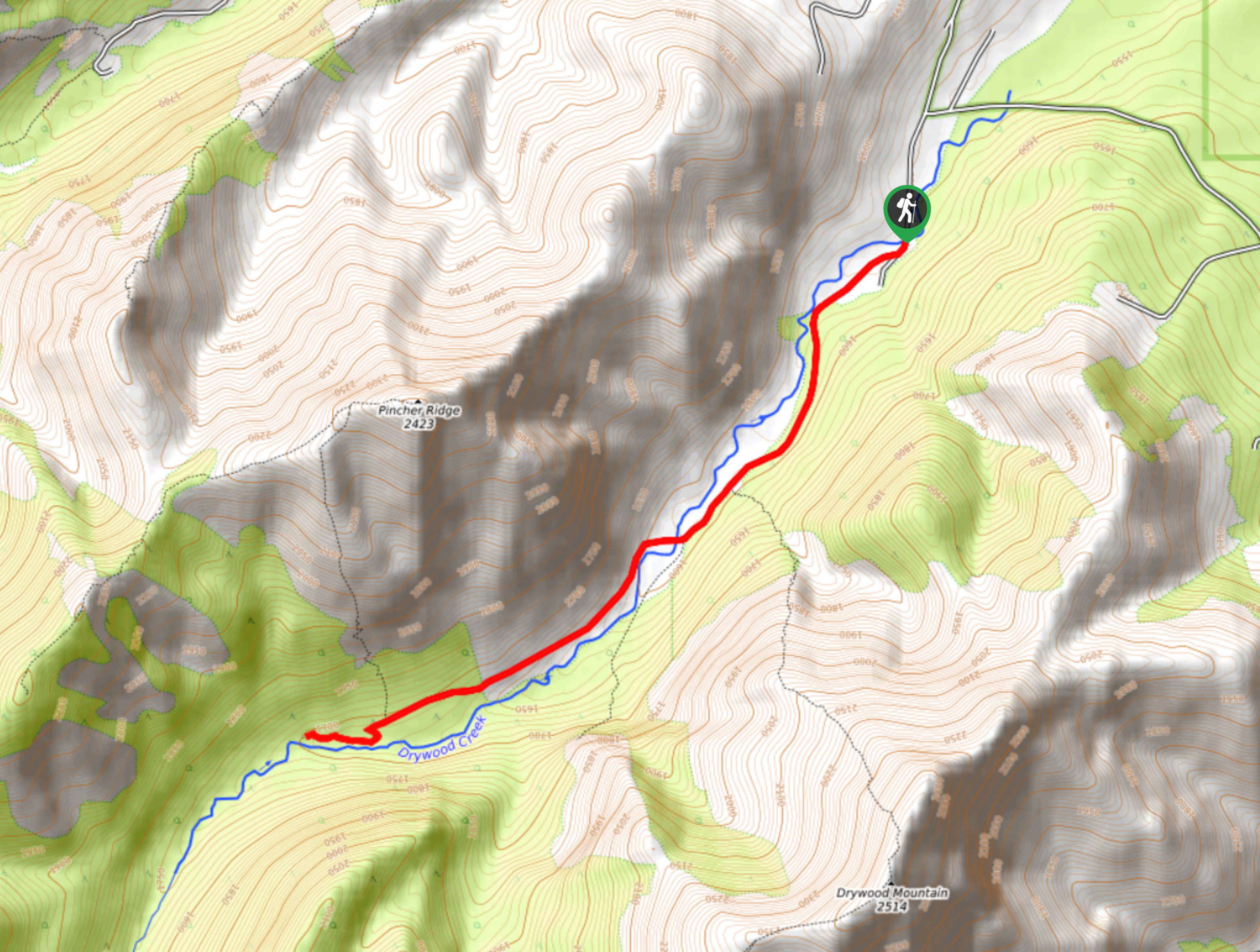
North Drywood Falls Trail
View Photos
North Drywood Falls Trail
Difficulty Rating:
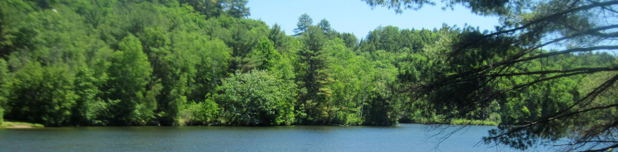
North Drywood Falls is an easy hike that is recommended for all abilities. Beginner and intermediate hikers and those with families will find this to be an excellent choice. The trail is easy to follow and leads to a small waterfall with space to rest. Plan a picnic lunch and set up near the falls for an enjoyable afternoon before returning to the trailhead.
Getting there
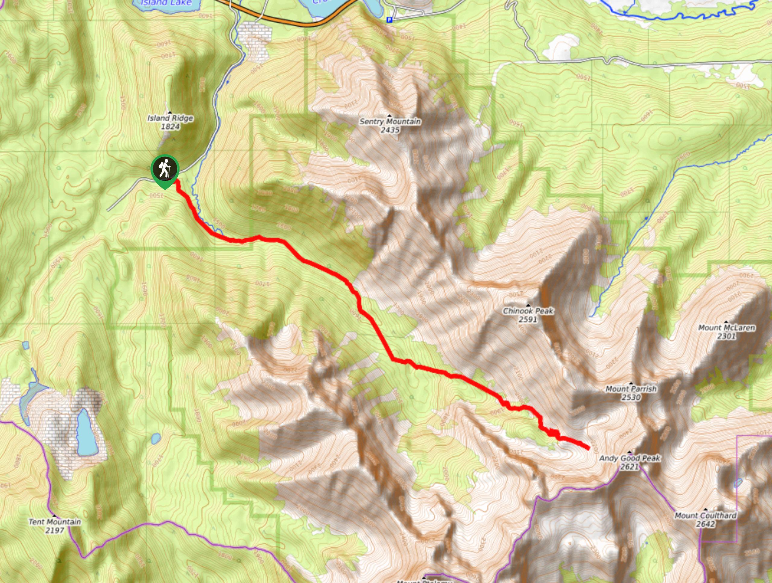
To get to North Drywood Falls trailhead, follow AB-6 southbound from Pincher Creek for 12.4mi. Turn right onto Township Road 43A and continue onto Range Road 304 after 3.7mi. Follow signs for North Drywood Falls trailhead from here.

About
| When to do | May-October |
| Backcountry Campsites | No |
| Pets allowed | Yes |
| Family friendly | Yes |
| Route Signage | Average |
| Crowd Levels | Moderate |
| Route Type | Out and back |
North Drywood Falls Trail
Elevation Graph
Weather
North Drywood Falls Trail Description
The hike starts off on an old gravel road which is great for strollers or bikes at first, but as you get closer to the falls it becomes a single track trail so a stroller likely isn’t going to be easy to get through.
Keep in mind, this trail is a slow and steady incline up the entire way to the falls. It’s consistent with no flat spots. Pincher Ridge will be visible to your right and then your left for the duration of the hike. Enjoy the falls before returning the way you came.
Similar hikes to the North Drywood Falls Trail hike
Piney Point Trail
The Piney Point Loop trail is a moderately trafficked trail from the Beauvais Lake day use area. There are many…
Coal Miners Lake
Coal Miners Lake is a great half day hike close to Crowsnest, Alberta. The moderate route is excellent for families.…
Trail of Seven Bridges
The Trail of Seven Bridges is more popular with OHV users as it is a multi-use trail. You will run…
Comments