
Blue Lake Trail
View Photos
Blue Lake Trail
Difficulty Rating:
The Blue Lake trail is a longer trail with steady, gradual elevation gain to a subalpine lake. It is a beautiful multi-use trail near Pincher Creek. Commonly used by horseback riders, bikers, and hikers, the Blue Lake trail is a full day outing for intermediate to advanced hikers.
Getting there
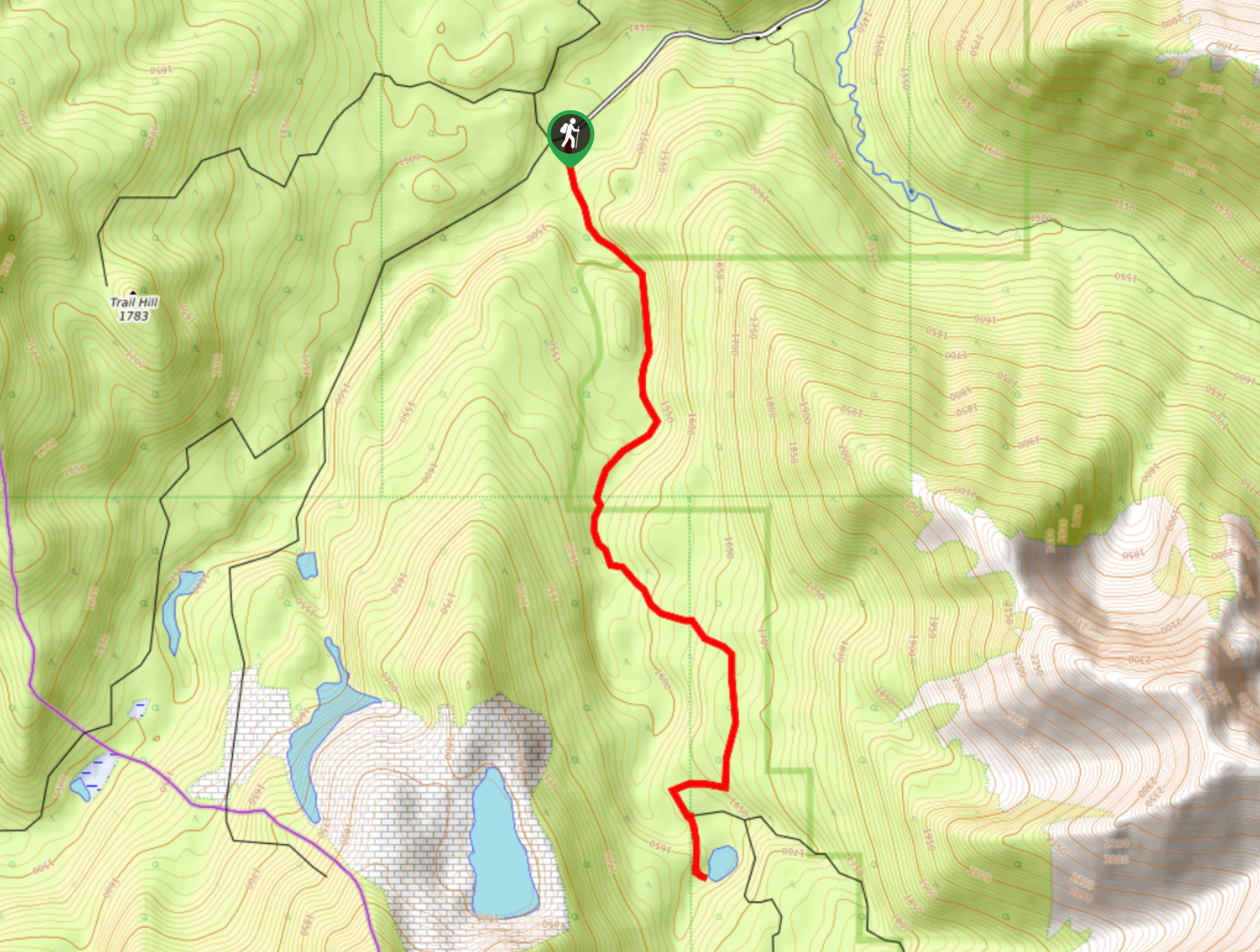
From Pincher Creek, head southbound on Highway 6 to get to Blue Lake. Turn onto Shell Waterton Complex Road, then turn left at the fork onto TWP Road 4-3. Follow for roughly 2.5mi before turning left onto Range Road 1-2a at Butcher Lake. After 0.9mi, turn left onto TWP Road 4-2 and follow it for 3.1mi. Turn right after 3.1mi and find a locked gate. Park at the gate and begin the trail on the old road.

About
| When to do | May-September |
| Backcountry Campsites | No |
| Pets allowed | Yes |
| Family friendly | No |
| Route Signage | Poor |
| Crowd Levels | Moderate |
| Route Type | Out and back |
Blue Lake Trail
Elevation Graph
Weather
Blue Lake Trail Description
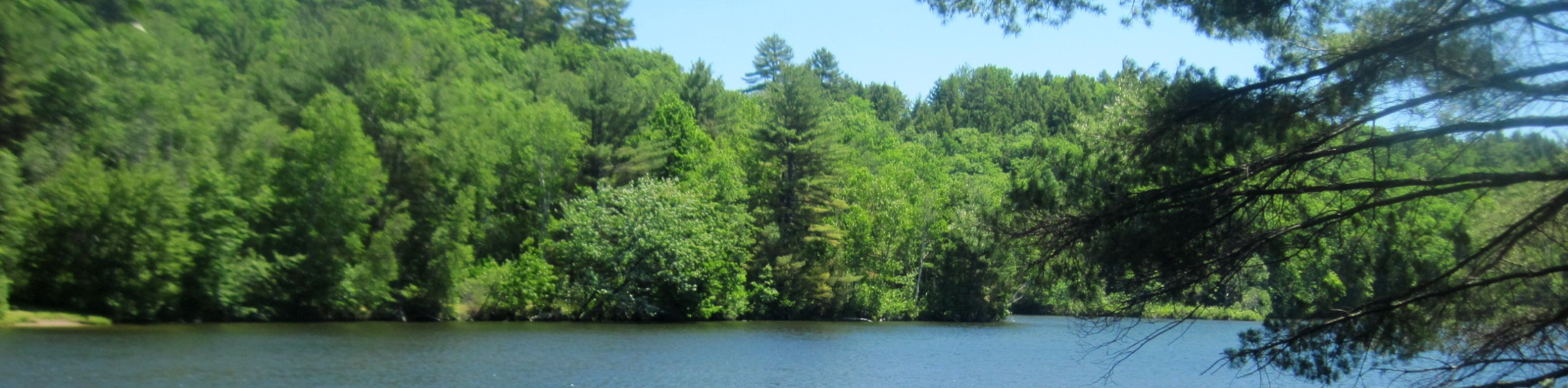
Blue Lake is also known as Bovin Lake. It is a stunning subalpine lake near Pincher Creek and Castle Wilderness. Many adventurers choose to bike this trail or make it a bike and hike combo since it is quite long. The trail follows an old decommissioned road from the gate and continues on a clear path all the way to the lake. The subalpine lake is located beneath a beautiful ridge and makes for an incredible lunch spot. This is an out-and-back trail that takes up a full day. We recommend biking the first 2.5mi on the road to cut some time off your total trip.
Similar hikes to the Blue Lake Trail hike
Piney Point Trail
The Piney Point Loop trail is a moderately trafficked trail from the Beauvais Lake day use area. There are many…
Coal Miners Lake
Coal Miners Lake is a great half day hike close to Crowsnest, Alberta. The moderate route is excellent for families.…
Trail of Seven Bridges
The Trail of Seven Bridges is more popular with OHV users as it is a multi-use trail. You will run…
Comments