McClintock and Mesa Trails
View Photos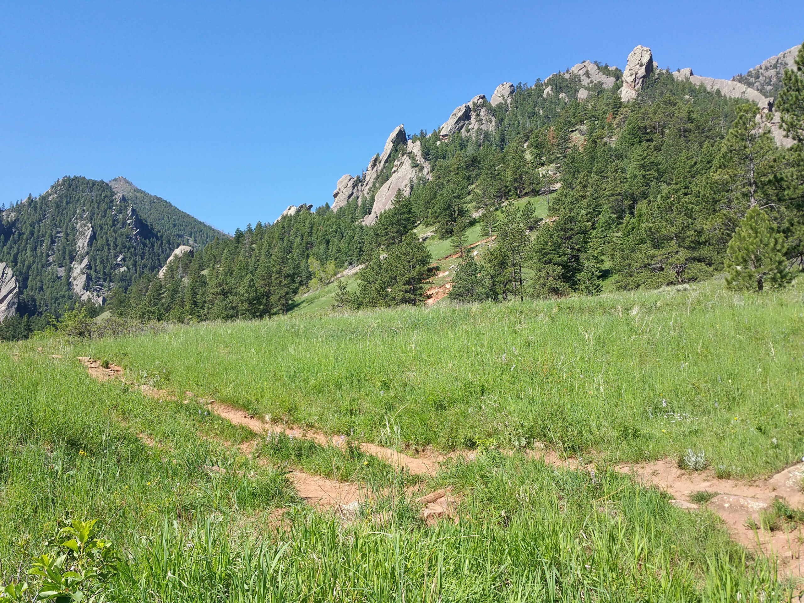
McClintock and Mesa Trails
Difficulty Rating:
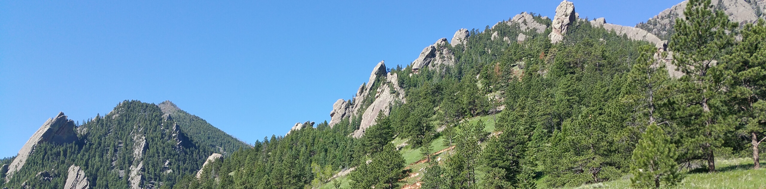
The McClintock and Mesa Trails Hike is a wonderful family-friendly nature walk in the Boulder Open Space. Explore the diverse ecosystems and revel in the grandeur of the Flatirons looming above. Escape the busyness of city life and reconnect with nature along this sunning adventure.
Getting there
The McClintock and Mesa Trails are accessed via the McClintock Lower Trailhead off Chautauqua Park Road.

About
| Backcountry Campground | No |
| When to do | Year-round |
| Pets allowed | Yes - On Leash |
| Family friendly | Yes |
| Route Signage | Average |
| Crowd Levels | Extreme |
| Route Type | Out and back |
McClintock and Mesa Trails
Elevation Graph
Weather
McClintock and Mesa Trails Description
The McClintock and Mesa Trails is a great hike that is suitable for adventurers of almost all skill levels. Trek through meadowlands, pine forests, and impressive outcroppings along this stimulating trail. Make sure to charge up your camera because you are going to want to take pictures of this! Unassumingly picturesque and relaxing, this is a popular weekend wind-down, so you will undoubtedly be sharing the route with fellow outdoor enthusiasts. We found that early morning hikes tend to be quieter, so if you are hoping to avoid the crowds, best get up bright and early!
Embark on your adventure along the McClintock and Mesa Trails from the McClintock Lower Trailhead. From here, track southeast along the path, and the McClintock Lower Trail will guide you to an intersection. Here, keep right and you will be diverted onto the McClintock Upper Trail. Hike along this route beneath the shade of towering pines to the next junction. At this point, you will want to turn left onto the Mesa Trail. Track this path along the foot of the Flatirons, to a bridge over a small creek.
The creek marks your turnaround point, but if you still have some gas left in the tank, we urge you to explore the Mesa Trail further. To get back to the trailhead from the bridge, simply backtrack along the trail.
Similar hikes to the McClintock and Mesa Trails hike

NCAR to Fern Canyon Hike
The NCAR to Fern Canyon Hike is an awesome but challenging adventure up to the summit of Nebel Horn. Put…

Crown Rock Trail
The Crown Rock Trail is a short but sweet nature walk that presents the perfect excuse to get the family…

Rattlesnake Gulch Trail
The Rattlesnake Gulch Trail is an epic adventure through the Eldorado Canyon State Park. Ascend the steep cliffs of Eldorado…
Comments