
Rattlesnake Gulch Trail
View Photos
Rattlesnake Gulch Trail
Difficulty Rating:
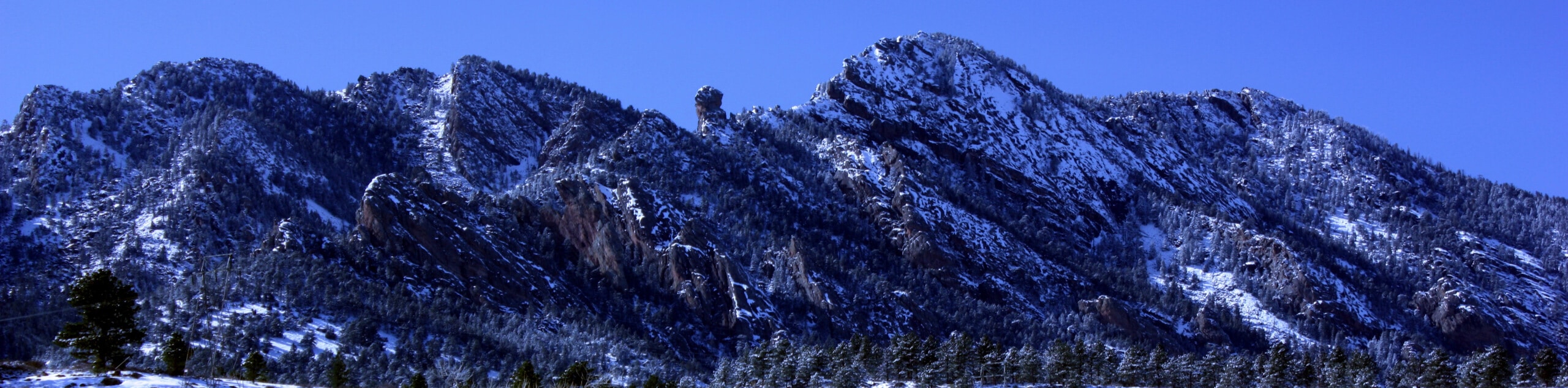
The Rattlesnake Gulch Trail is an epic adventure through the Eldorado Canyon State Park. Ascend the steep cliffs of Eldorado Canton’s southern wall up to an awesome overlook. Sandwiched between Denver and Boulder, this conveniently located hike is a great weekend escape into the wilderness.
Getting there
The Rattlesnakes Gulch Trail departs from the trailhead off Eldorado Springs Drive.

About
| Backcountry Campground | No |
| When to do | Year-round |
| Pets allowed | Yes - On Leash |
| Family friendly | Older Children only |
| Route Signage | Average |
| Crowd Levels | Moderate |
| Route Type | Lollipop |
Rattlesnake Gulch Trail
Elevation Graph
Weather
Rattlesnake Gulch Trail Description
Don’t worry, this adventure isn’t as scary as it seems. The Rattlesnake Gulch Hike is a wonderful adventure through the sparse coverage of ponderosa pines up to the remains of the Crags Hotel Ruins and to an epic overlook of the foothills and Front Range peaks. Though this trek can be ventured year-round, we strongly recommend avoiding wintertime hikes as the vertiginous terrain can be dangerous. If you are set on an off-season ascent, make sure to strap on some crampons and consider trekking poles to safely navigate the likely icy terrain. Note the Eldorado Canyon State Park charges a $10USD vehicle entrance fee.
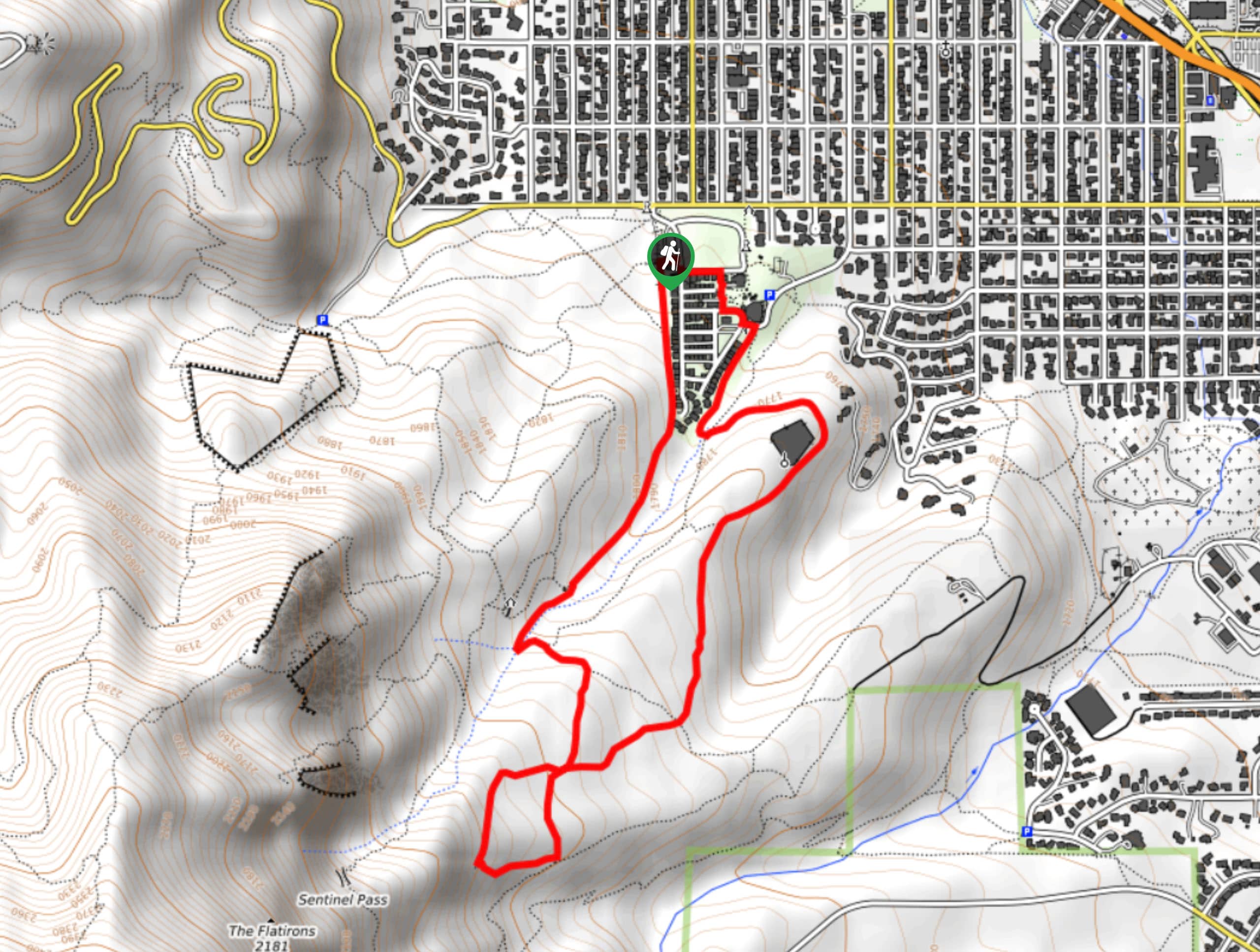
Embark on your adventure along the Rattlesnake Gulch Trail from the trailhead. From here, trek the Rattlesnake Gulch Trail east before quickly diverting southwest. The sparsely shaded trail up the cliffs of the canyon reveals epic views of the surrounding foothills, including South Boulder Peak. Climb up the steep path, navigating switchbacks up to the Crags Hotel Ruins. Here, you will also encounter an intersection, you can hike either way around the loop, but we prefer to track clockwise.
Enjoy the expansive sights of the verdant foothills that are flanked by the snow-capped Front Range peaks. Follow along the route to the Continental Divide overlook. Revel in the vistas of the famous Divide, then reconnect with the Rattlesnake Gulch Trail at the intersection. Retrace your footing along this path all the way back to the trailhead.
Similar hikes to the Rattlesnake Gulch Trail hike

NCAR to Fern Canyon Hike
The NCAR to Fern Canyon Hike is an awesome but challenging adventure up to the summit of Nebel Horn. Put…
Bear and South Boulder Peaks Loop
Looking for a demanding but rewarding hike near Boulder? We’ve got you covered. The Bear and South Boulder Peaks Hike…
Bluebell, Woods Quarry, and Enchanted Mesa Loop
The Bluebell, Woods Quarry and Enchanted Mesa Loop is a charming nature walk in the Boulder Open Space. Conveniently located…
Comments