
Crown Rock Trail
View Photos
Crown Rock Trail
Difficulty Rating:
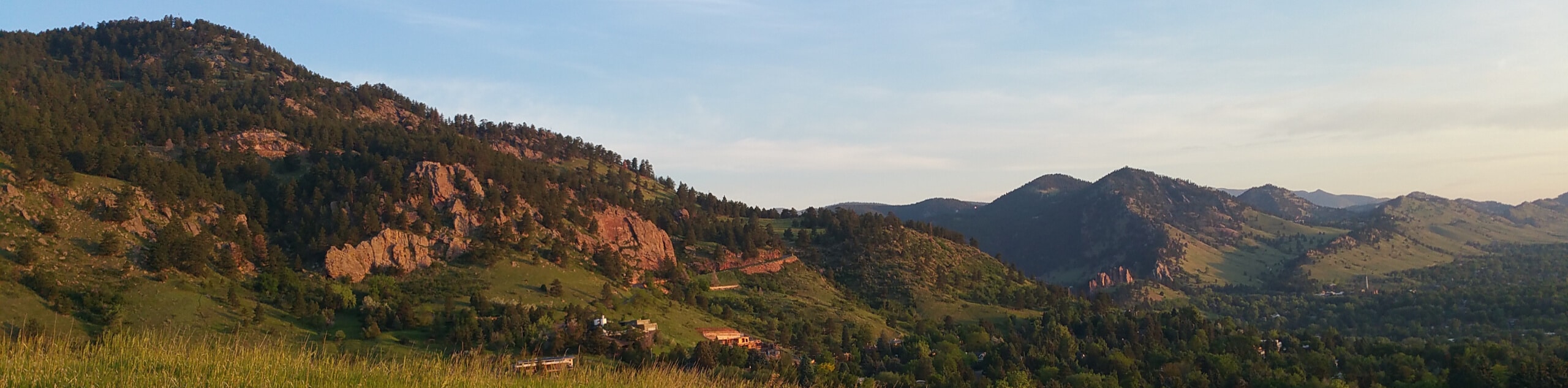
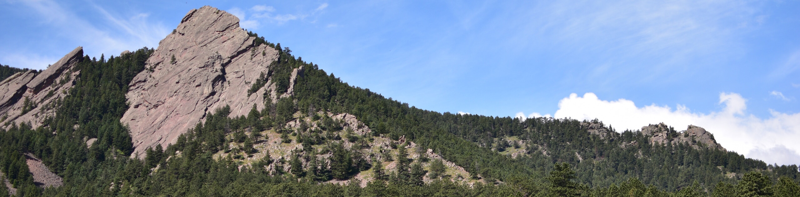
The Crown Rock Trail is a short but sweet nature walk that presents the perfect excuse to get the family out into the fresh air. Located on the southern flank of Flagstaff Mountain, this sparsely shaded trail reveals unparalleled sights of the Flatirons and the lit-up cityscape below. Reconnect with nature and explore the red sandstone outcroppings that line the path.
Getting there
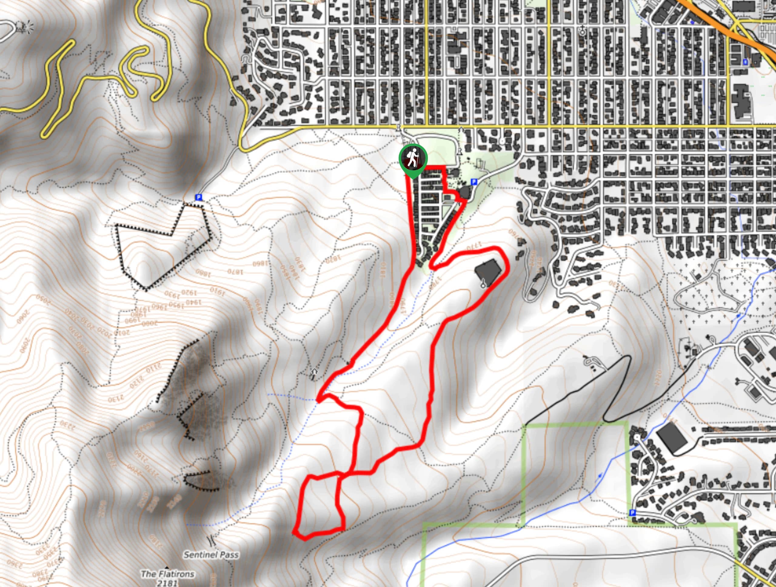
The Crown Rock Trail departs from the trailhead off Flagstaff Road.

About
| Backcountry Campground | No |
| When to do | Year-round |
| Pets allowed | Yes - On Leash |
| Family friendly | Yes |
| Route Signage | Average |
| Crowd Levels | Moderate |
| Route Type | Out and back |
Crown Rock Trail
Elevation Graph
Weather
Crown Rock Trail Description
The Crown Rock Hike is a charming nature walk that is ideal for families with little ones. Hike along the path lined with impressive sandstone boulders and appreciate the views of the surrounding foothills and the cityscape through the tree breaks. Hike amongst ponderosa pines and admire the uniqueness of the foothills that line the city of Boulder. Kids will love exploring the boulders and adults will appreciate the views. Note parking costs $5USD at the trailhead.
Begin your journey along the Crown Rock Trail from the trailhead off Flagstaff Road. From here, track south along the dirt path that is sparsely lined with ponderosa pines. Enjoy the sweet smell of the evergreens and continue hiking. This area is also a popular rock-climbing area, so don’t be surprised if you notice intrepid adventurers with their gear, scaling the red rock cliffs.
Wander the path to the trail’s end. If you still have some gas left in the tank, consider following the connector path down to the Gregory Canyon Trail. When you are done exploring and ready to return to the trailhead, simply retrace your footing along the route back to the trailhead.
Similar hikes to the Crown Rock Trail hike
Chautauqua, Bluebell and Baird Trail
Immerse yourself into nature and get some fresh air along the Chautauqua, Bluebell and Baird Trail. Conveniently located just outside…
Bluebell, Woods Quarry, and Enchanted Mesa Loop
The Bluebell, Woods Quarry and Enchanted Mesa Loop is a charming nature walk in the Boulder Open Space. Conveniently located…
Royal Arch, Bluebell and Meadow Loop
The Royal Arch, Bluebell and Meadow Loop is a unique adventure through the Boulder Open Space that reveals stunning sights…
Comments