Royal Arch, Bluebell and Meadow Loop
View Photos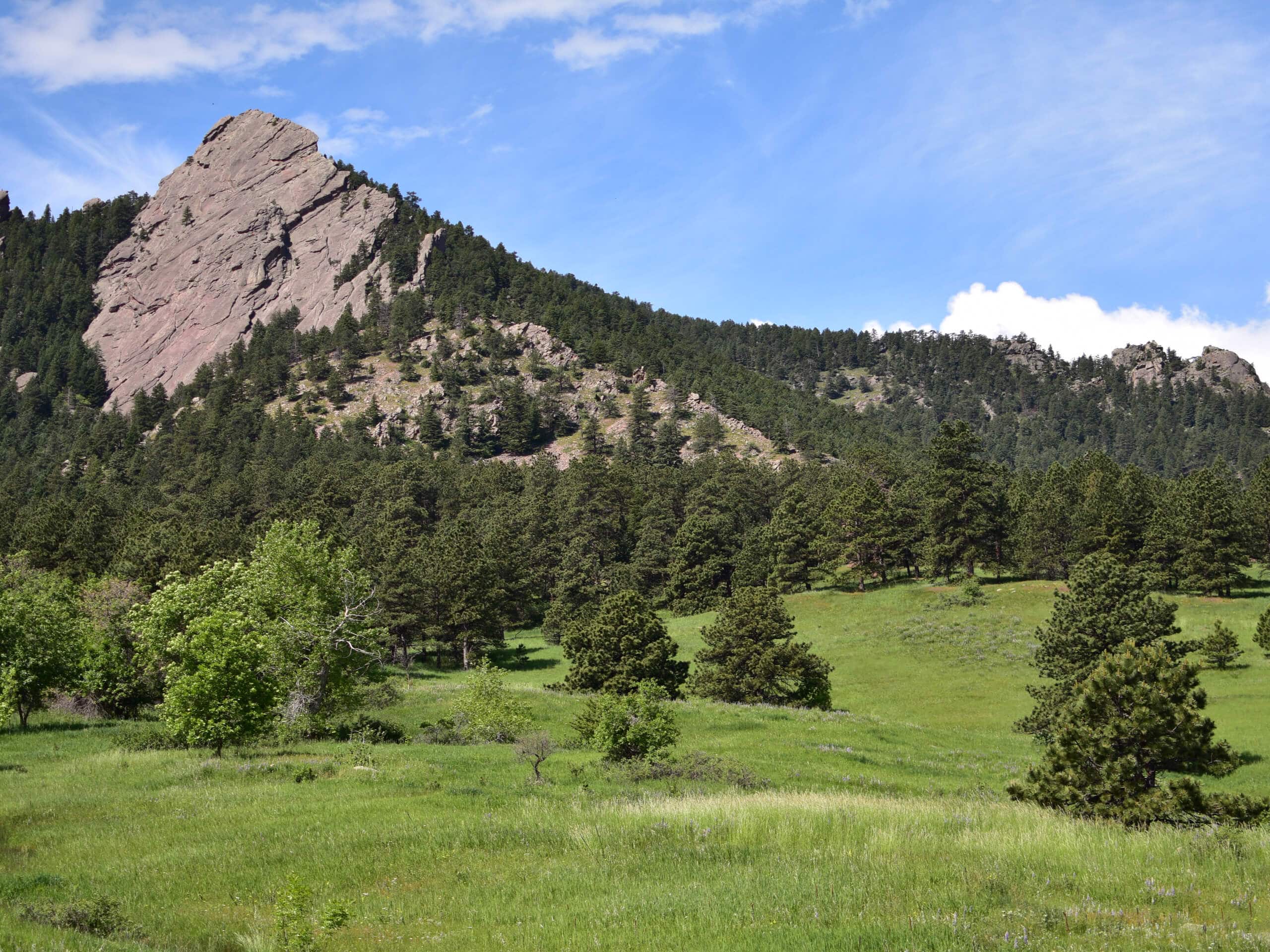
Royal Arch, Bluebell and Meadow Loop
Difficulty Rating:
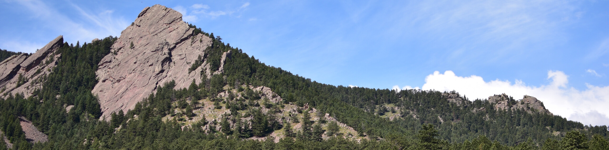
The Royal Arch, Bluebell and Meadow Loop is a unique adventure through the Boulder Open Space that reveals stunning sights of the Flatirons that sit along the western flank of Green Mountain. Immerse yourself in nature and get in your daily movement along this impressive wilderness excursion.
Getting there
The Royal Arch, Bluebell and Meadow Loop departs from the Meadow Trailhead off Kinnikinnick Road.

About
| Backcountry Campground | No |
| When to do | Year-round |
| Pets allowed | Yes - On Leash |
| Family friendly | Yes |
| Route Signage | Average |
| Crowd Levels | High |
| Route Type | Circuit |
Royal Arch, Bluebell and Meadow Loop
Elevation Graph
Weather
Royal Arch, Bluebell and Meadow Loop Description
The Royal Arch via Bluebell and Meadow Trails is an undeniably scenic adventure. Traveling through luxuriant meadows and lush forests, this path presents the perfect ratio of beauty and challenge as you hike along the foothills. Escape into the wilderness and let the lively natural environment lull you into a state of relaxation. Explore the diverse flora and fauna and let the fresh mountain air fill your lungs. Perfect for novice hikers and children who don’t mind a challenge, this epic adventure attracts outdoor enthusiasts of all skill levels.
Beginning from the trailhead, the Royal Arch, Bluebell and Meadow Loop tracks southwest along the Meadow Trail. Hike along this path to the trail’s end, merging onto the Baseline Trail. At the intersection, keep left, and you will be diverted onto the Bluebell Baird Trail. Track south until you encounter the junction with the Flatirons Loop Trail. Here, turn right and follow this path to the junction with the Royal Arch Trail, then turn left onto the Royal Arch Trail to wander down to the Bluebell Shelter.
From this point, take the Bluebell Road Trail northeast before merging onto the Bluebell Hiking Trail. This route will guide you back through the meadowlands, eventually delivering you back to the trailhead.
Similar hikes to the Royal Arch, Bluebell and Meadow Loop hike

NCAR to Fern Canyon Hike
The NCAR to Fern Canyon Hike is an awesome but challenging adventure up to the summit of Nebel Horn. Put…

Crown Rock Trail
The Crown Rock Trail is a short but sweet nature walk that presents the perfect excuse to get the family…

Rattlesnake Gulch Trail
The Rattlesnake Gulch Trail is an epic adventure through the Eldorado Canyon State Park. Ascend the steep cliffs of Eldorado…
Comments