McClintock and Chautauqua Loop Trail
View Photos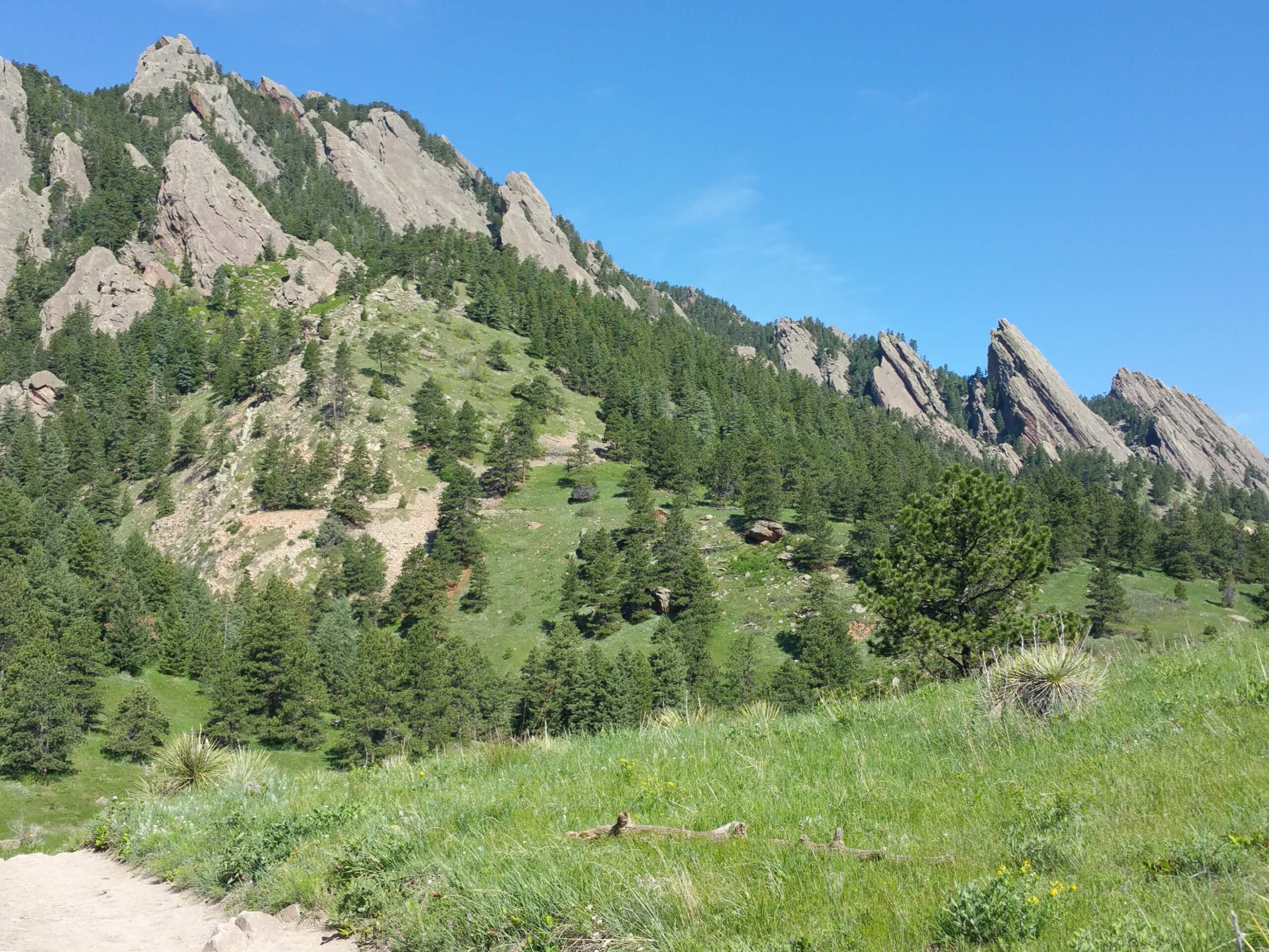
McClintock and Chautauqua Loop Trail
Difficulty Rating:
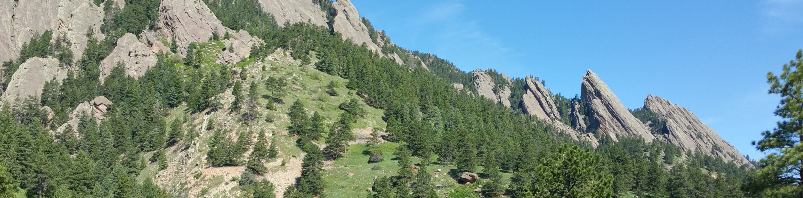
Explore the Chautauqua Park that sits at the base of the Flatirons along the McClintock and Chautauqua Loop Trail. Short and scenic, this path packs a punch. Perfect for a lunch break escape or a dose of fresh air on the weekend, this trail is a go-to for many tourists and locals alike.
Getting there
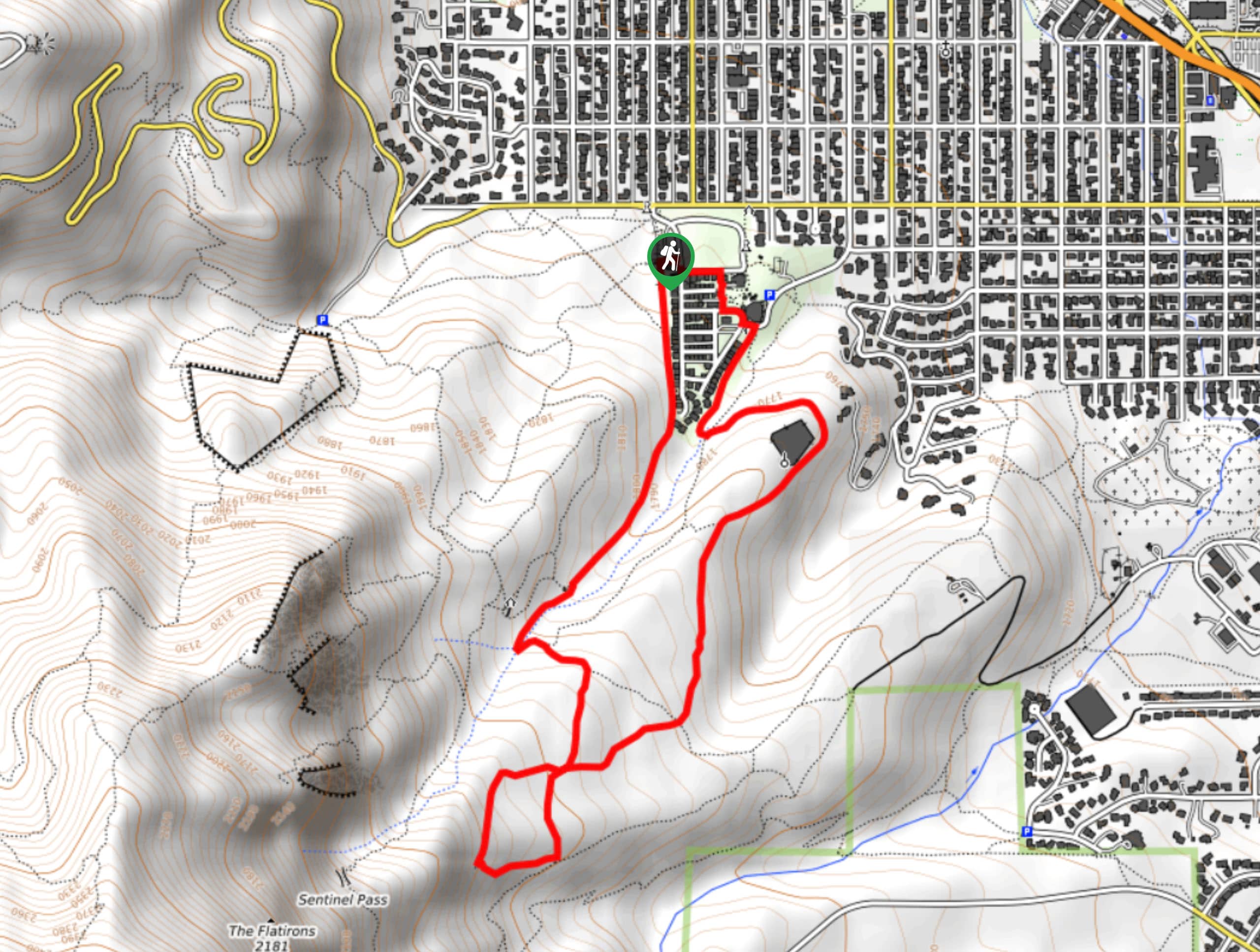
The McClintock and Chautauqua Loop Trail departs from the parking lot off Clematis Drive in Chautauqua Park.

About
| Backcountry Campground | No |
| When to do | Year-round |
| Pets allowed | Yes - On Leash |
| Family friendly | Yes |
| Route Signage | Average |
| Crowd Levels | High |
| Route Type | Circuit |
McClintock and Chautauqua Loop Trail
Elevation Graph
Weather
McClintock and Chautauqua Loop Trail Description
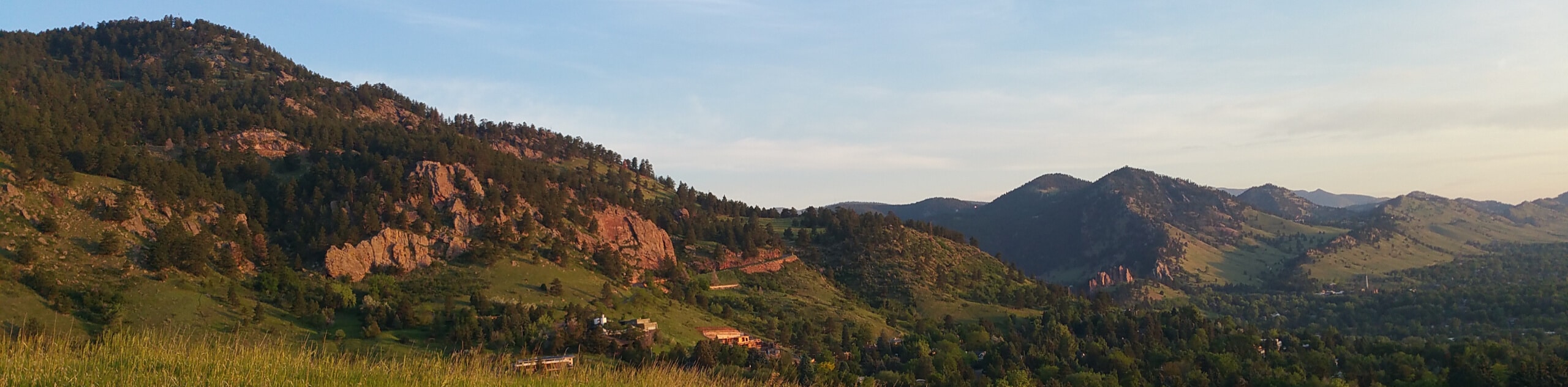
Get an up-close and personal view of the impressive Flatirons, a quintessential Boulder landmark, and explore the various topographies. The McClintock and Chautauqua Loop Trail exhibits the diversity of the Boulder Open Space as it guides hikers through luxuriant grasslands, pine forest, along gurgling creeks, and impressive outcroppings. Get in your daily movement and revel in the beauty of the Colorado wilderness. Note parking is limited, so we suggest arriving in the early morning, or better yet, walk in from the city.
Departing from the parking lot off Clematis Drive, the McClintock and Chautauqua Loop Trail tracks east along the road before trekking south through the park. Hike south until you meet the McClintock Lower Trail. Hike this path southwest, merging on the McClintock Upper Trail, which will deliver you beneath the treeline. At the intersection with the Mesa Trail, turn right, intersecting with a small stream before confronting another crossroad. Here, veer left, and you will be diverted onto the Bluebell Road Trail.
Follow this route past the Bluebell Shelter, converging onto the Bluebell Spur Trail at the road’s end. This path will guide you back into the meadowlands. Merge onto the Bluebell Mesa Trail, taking the rightmost Chautauqua Trail at the next junction. The Chautauqua Trail will deliver you to Kinnikinnick Road. From here, track the Clematis Road east back to the parking lot, ending your adventure.
Similar hikes to the McClintock and Chautauqua Loop Trail hike

Crown Rock Trail
The Crown Rock Trail is a short but sweet nature walk that presents the perfect excuse to get the family…
Chautauqua, Bluebell and Baird Trail
Immerse yourself into nature and get some fresh air along the Chautauqua, Bluebell and Baird Trail. Conveniently located just outside…
Bluebell, Woods Quarry, and Enchanted Mesa Loop
The Bluebell, Woods Quarry and Enchanted Mesa Loop is a charming nature walk in the Boulder Open Space. Conveniently located…
Comments