Flatirons Vista Trail
View Photos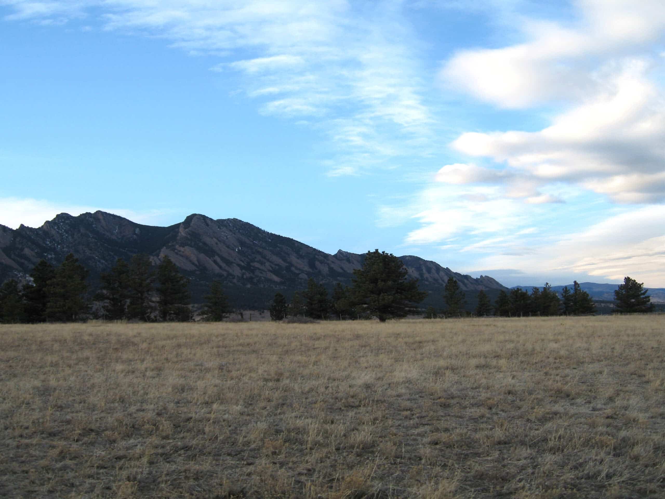
Flatirons Vista Trail
Difficulty Rating:
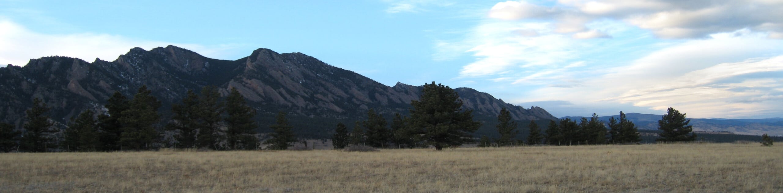
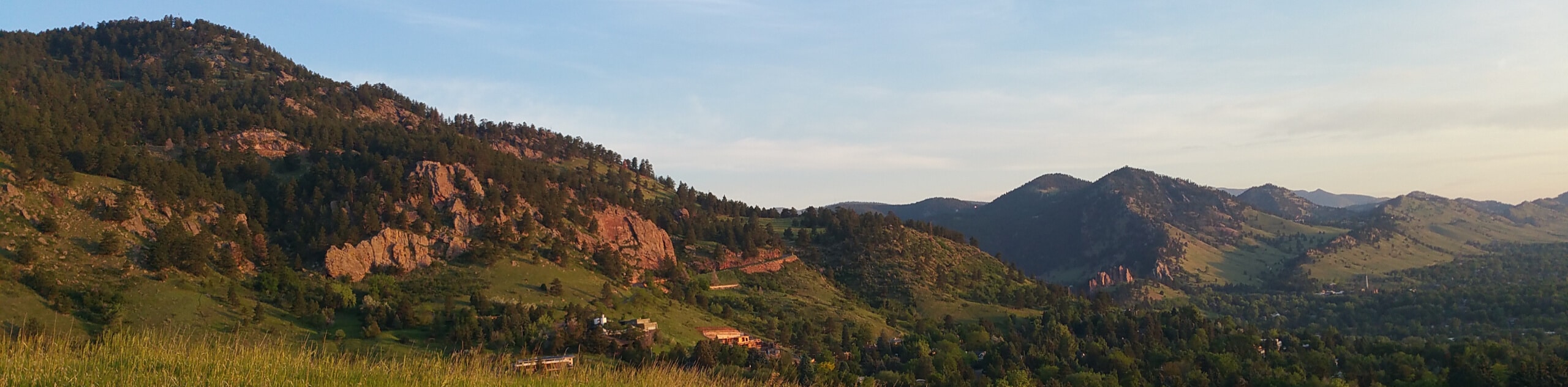
The Flatirons Vista Trail is an epic adventure suitable for the whole family. Traveling through a luxuriant pasture, you will be in the company of mild-mannered cows as you trek around the circuit. Reveling in the panoramic views of the Flatirons, you will get to enjoy the awesome sights of the Boulder landmark without the crowds and exhaustion of a summit hike.
Getting there
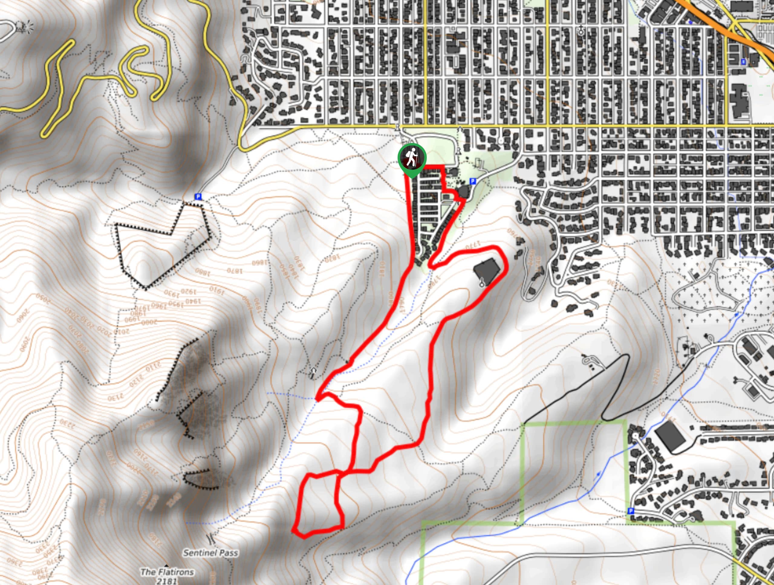
The Flatirons Vista Trail departs from the trailhead off South Foothills Highway.

About
| Backcountry Campground | No |
| When to do | Year-round |
| Pets allowed | Yes - On Leash |
| Family friendly | Yes |
| Route Signage | Average |
| Crowd Levels | High |
| Route Type | Circuit |
Flatirons Vista Trail
Elevation Graph
Weather
Flatirons Vista Trail Description
The Flatirons Vista Trail is a wonderful escape from the bustle of the city and the Boulder Open Space. Enjoy the vistas of the quintessential Boulder landmark as you trek through the meadowlands. In the company of cows, be sure to mind your footing, you wouldn’t want to get your shoes dirty if you know what we mean. Additionally, when hiking in the summer months, we suggest trekking in the morning before the exposed path becomes unbearably hot. It is also a good idea to keep half an eye and ear out for rattlesnakes as you travel through the arid terrain. Note this path is subject to sporadic seasonal closure and parking at the trailhead costs $5USD.
Departing from the trailhead, the Flatirons Vista Trail can be completed from either direction, but we prefer to trek counterclockwise on the Flatirons Vista Trail. Hike along this path, over a small stream before merging onto the Flatirons Vista North Trail. Now hiking along the meadow-laden path, hikers will be rewarded with wonderful views of the Flatirons in the north and the Hogback Ridge in the west. Wander along this path and it will eventually connect with the Flatirons Vista South Trail.
The Flatirons Vista South Trail will guide adventures through the meadow and past ponds before merging onto the Prairie Vista Trail. This path will lead hikers back to the trailhead, marking the end of their nature walk.
Similar hikes to the Flatirons Vista Trail hike

Crown Rock Trail
The Crown Rock Trail is a short but sweet nature walk that presents the perfect excuse to get the family…
Chautauqua, Bluebell and Baird Trail
Immerse yourself into nature and get some fresh air along the Chautauqua, Bluebell and Baird Trail. Conveniently located just outside…
Bluebell, Woods Quarry, and Enchanted Mesa Loop
The Bluebell, Woods Quarry and Enchanted Mesa Loop is a charming nature walk in the Boulder Open Space. Conveniently located…
Comments